West Inch
Coastal Marsh, Saltings in Aberdeenshire
Scotland
West Inch
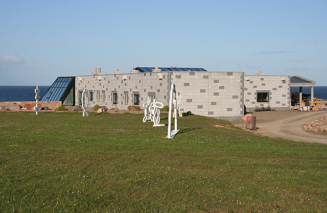
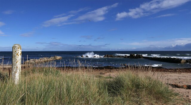
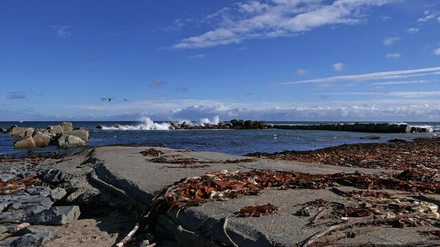
West Inch is a picturesque coastal marsh and saltings located in Aberdeenshire, Scotland. Situated on the eastern coast of the country, this area boasts stunning natural beauty and diverse wildlife.
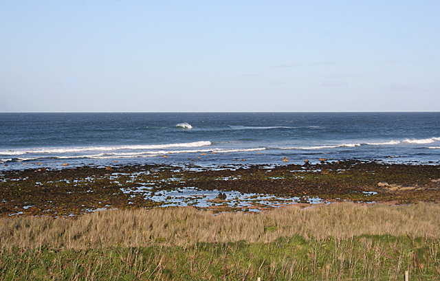
The marsh stretches over a vast expanse, covering approximately 100 hectares of land. It is characterized by its unique habitat, consisting of salt marshes, mudflats, and salt pans. These habitats are formed by the interaction of the nearby North Sea and the River Ythan, creating a perfect environment for a wide range of plant and animal species.
The landscape of West Inch is dominated by an intricate network of tidal channels, which constantly shift and change with the ebb and flow of the tides. The salt marshes are covered in vibrant green vegetation, such as sea grasses and samphire, which provide important feeding grounds for numerous bird species.
Speaking of birds, West Inch is a haven for birdwatchers and ornithologists alike. The variety of habitats supports a rich avian population, including wading birds like redshanks, oystercatchers, and curlews, as well as terns, gulls, and ducks. Many of these species are migratory, making West Inch a vital stopover point along their journey.
Beyond its ecological significance, West Inch is also a popular destination for outdoor enthusiasts. The marsh offers opportunities for walking, birdwatching, and photography, allowing visitors to immerse themselves in the tranquility of nature.
In summary, West Inch is a remarkable coastal marsh and saltings in Aberdeenshire, known for its diverse habitats, abundant wildlife, and stunning scenery. It is a place where nature thrives and offers a unique experience for those seeking a connection with the natural world.
If you have any feedback on the listing, please let us know in the comments section below.
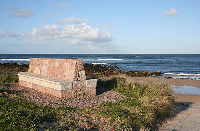
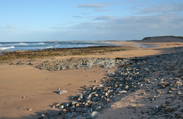
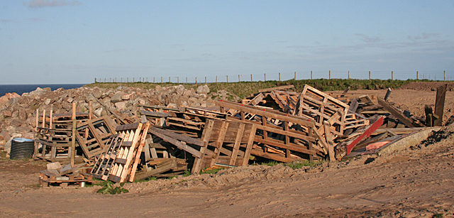
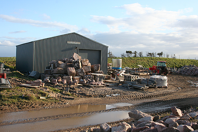
West Inch Images
Images are sourced within 2km of 57.65155/-1.8951509 or Grid Reference NK0662. Thanks to Geograph Open Source API. All images are credited.
West Inch is located at Grid Ref: NK0662 (Lat: 57.65155, Lng: -1.8951509)
Unitary Authority: Aberdeenshire
Police Authority: North East
What 3 Words
///micro.body.overlooks. Near Fraserburgh, Aberdeenshire
Nearby Locations
Related Wikis

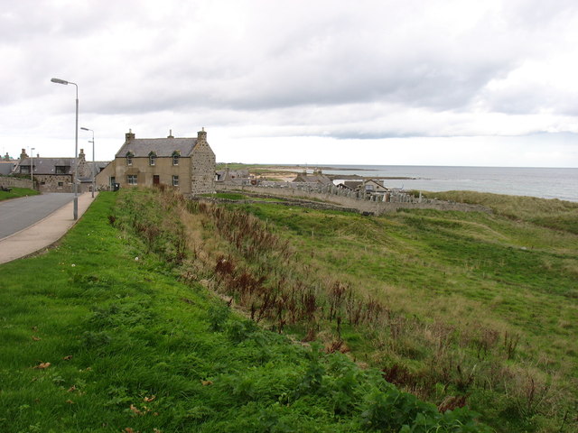
St Combs
St Combs is a small fishing village in Aberdeenshire, Scotland, immediately southwest of Inverallochy. It has existed since at least the 17th century,...
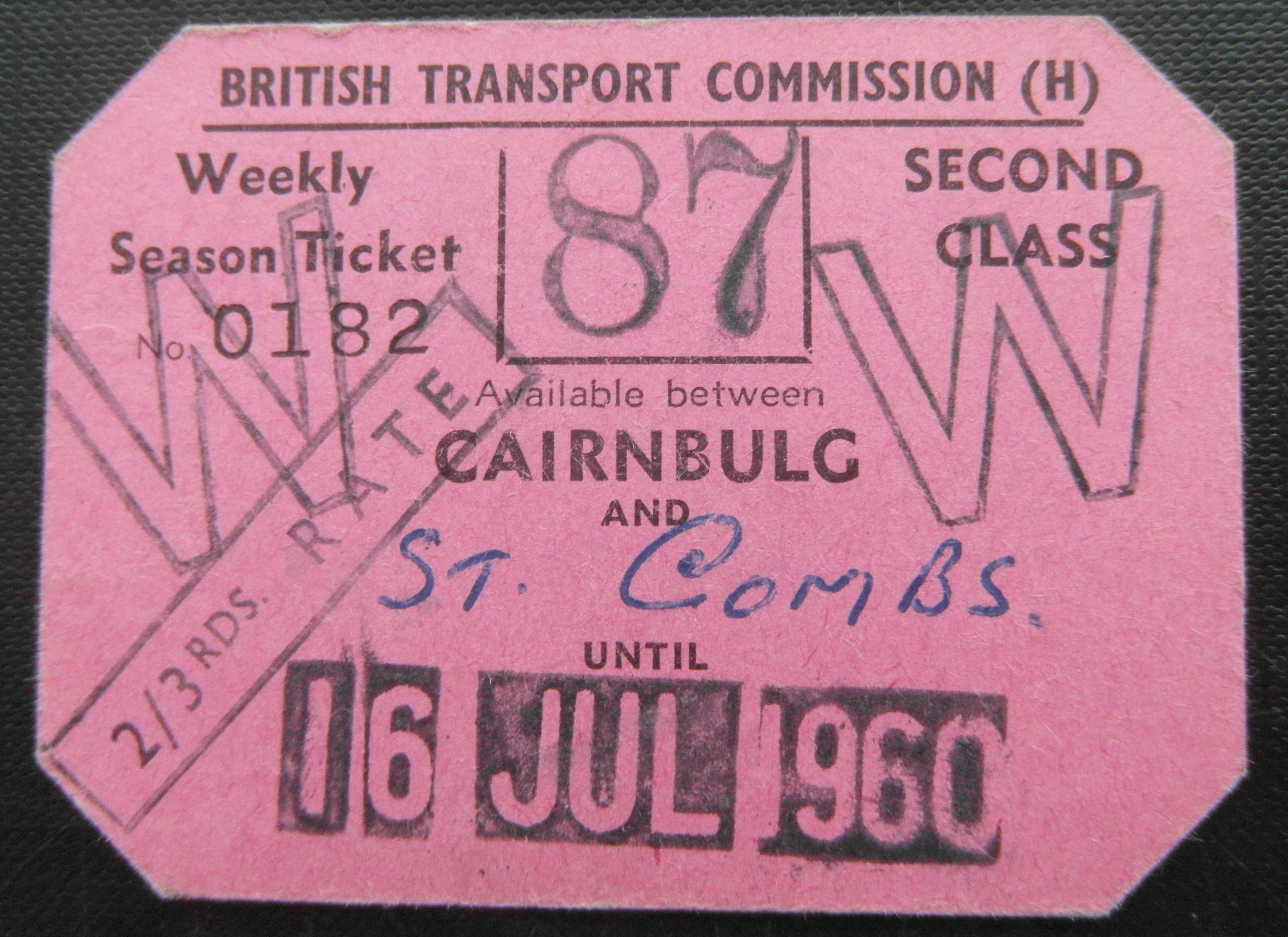
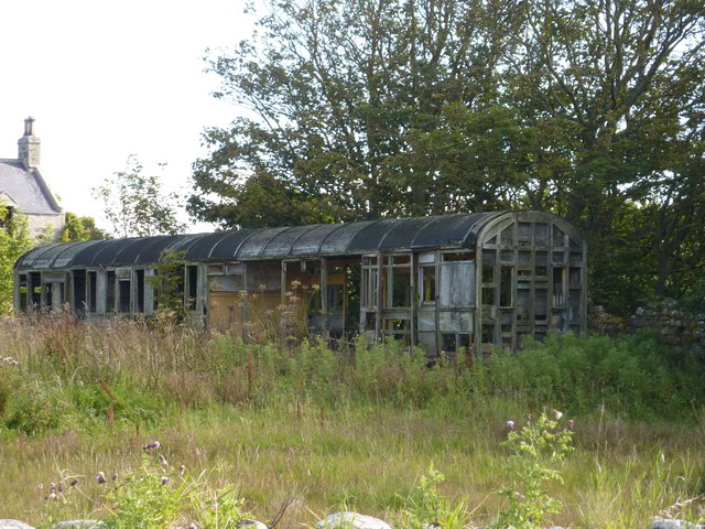
St Combs railway station
St. Combs railway station was a station on the Fraserburgh and St Combs Light Railway, Aberdeenshire. It was opened on 1 July 1903 and stood 5 1⁄8 miles...

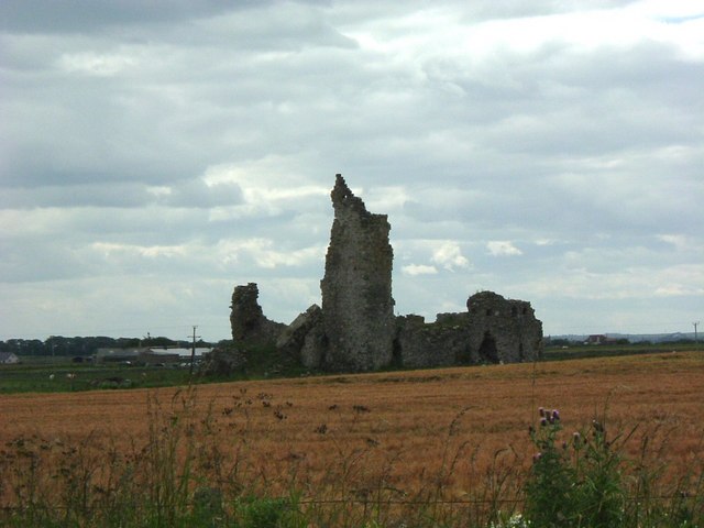
Lonmay Castle
The remains of the Castle of Lonmay are found near Netherton of Lonmay, to the north of Loch Strathbeg in Buchan, Scotland. The remains are not located...
Inverallochy Castle
Inverallochy Castle is a ruined courtyard castle, near the village of Inverallochy in the Buchan area of North-East Scotland, dating to 1504. It lies 0...

Cairness House
Cairness House, 4.5 miles (7 km) south-east of Fraserburgh in Buchan in the county of Aberdeenshire, is a country house built in the Neoclassical style...
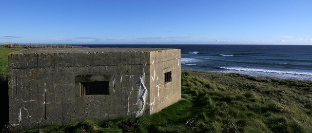
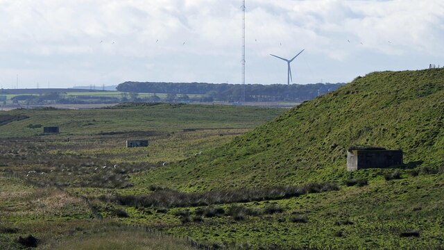
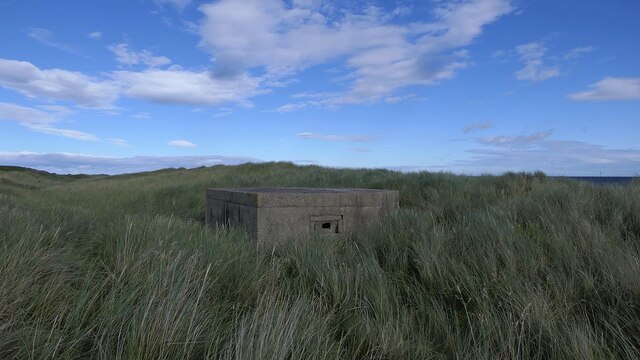
RAF Fraserburgh
Royal Air Force Fraserburgh, or more simply RAF Fraserburgh, is a former Royal Air Force satellite station located in Aberdeenshire, Scotland, 3.2 miles...

Inverallochy and Cairnbulg
The villages of Inverallochy (Scottish Gaelic: Inbhir Aileachaidh) and Cairnbulg (from the Gaelic càrn builg meaning 'gap cairn') lie some 4 miles (6.4...
Cairnbulg railway station
Cairnbulg railway station was a station on the Fraserburgh and St Combs Light Railway, Aberdeenshire. It was opened in 1903 as Inverallochy and was renamed...
Related Videos

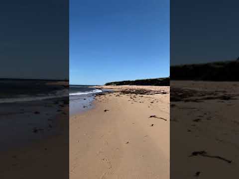
What Inspired You To Get Into Landscape Photography?
Join me as I head to St Combs beach in Aberdeenshire in an attempt to shoot Rattray Head Lighthouse from a new vantage point.

Saint Combs Village Walk, Scotland Countryside 4K
Saint Combs Village Walk, Scotland Countryside 4K. St Combs is a small fishing village in Aberdeenshire, Scotland, immediately ...
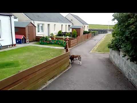
St Combs walkabout
Tricia and Tank the dog take a walk about St Combs.
Nearby Amenities
Located within 500m of 57.65155,-1.8951509Have you been to West Inch?
Leave your review of West Inch below (or comments, questions and feedback).