Black Bog

Coastal Marsh, Saltings in Northumberland

England

Black Bog

Standing Stones west of White Hill These are the same standing stones as are shown at <a title="https://www.geograph.org.uk/photo/3153964" href="https://www.geograph.org.uk/photo/3153964">Link</a> when Andrew Curtis passed this way in September 2012 although taken from a different angle. Since then the plantation in the background has suffered quite some damage as a consequence of Storm Arwen which caused widespread devastation in November 2021. The damage caused by the storm was compounded by the fact that "sustained winds with gusts in excess of 90 mph were, unusually, from the north-east, affecting trees that do not normally have to yield to those winds." For a selection of detailed free to download walking routes in the area visit <span class="nowrap"><a title="www.cheviotwalks.co.uk" rel="nofollow ugc noopener" href="http://www.cheviotwalks.co.uk">Link</a><img style="margin-left:2px;" alt="External link" title="External link - shift click to open in new window" src="https://s1.geograph.org.uk/img/external.png" width="10" height="10"/></span>
Standing Stones west of White Hill Credit: Geoff Holland

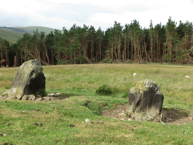
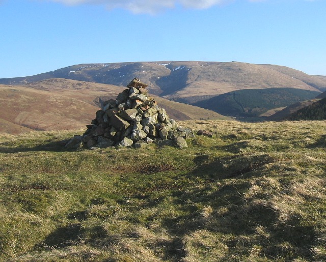
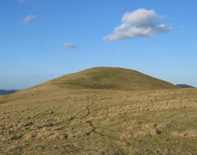
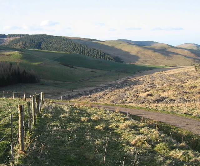
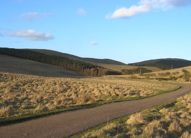
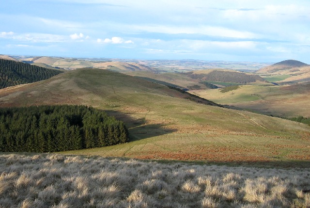
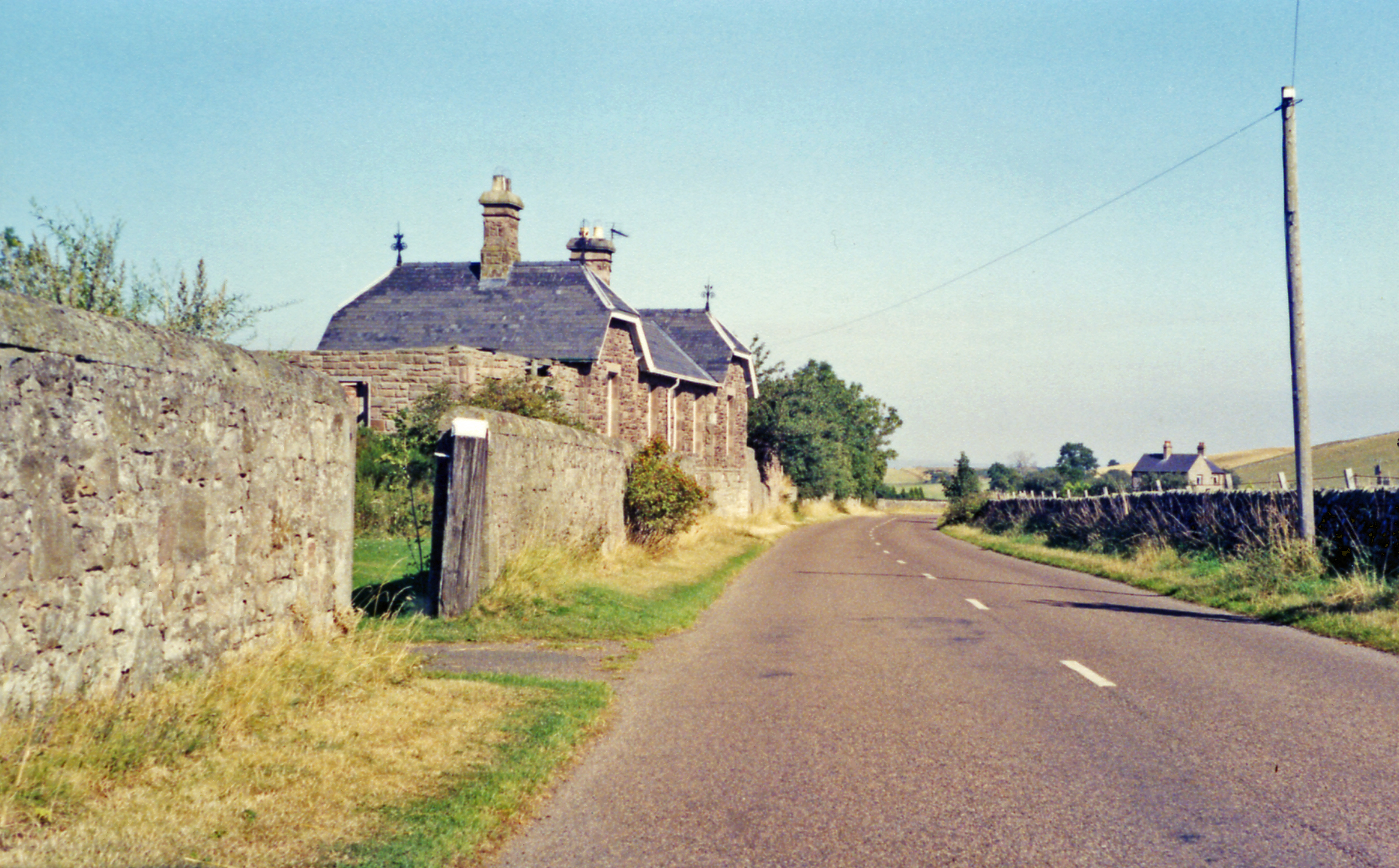
Black Bog, located in Northumberland, is a notable coastal marsh and saltings. Spanning across a vast area, it is home to a diverse range of flora and fauna, making it an important ecological site. This marshland is situated near the coast, providing a unique habitat for various species.

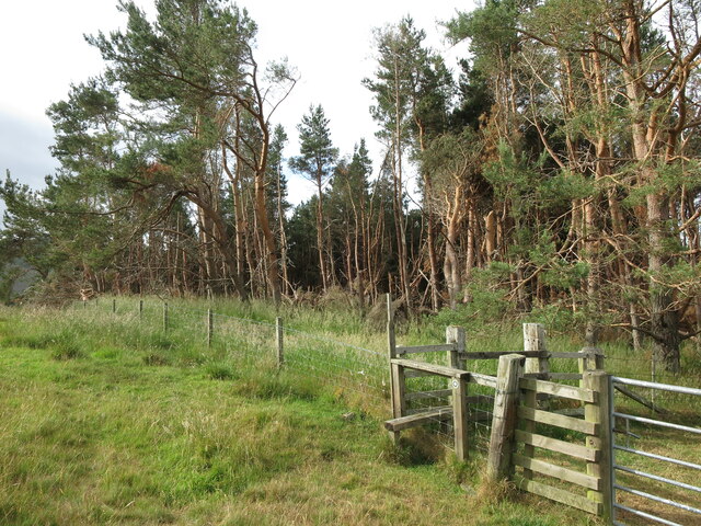
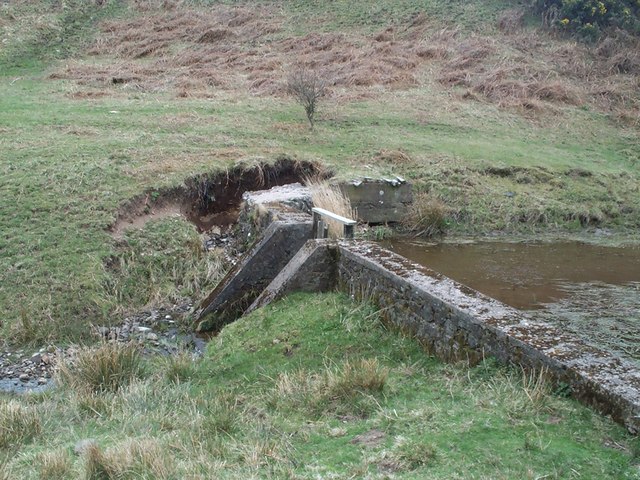
The Black Bog is characterized by its damp, boggy terrain, which is largely caused by the accumulation of peat and organic matter over time. This marsh is typically found in low-lying areas, where water sources, such as rivers and estuaries, contribute to its wetland environment. The consistent presence of water supports the growth of specialized vegetation, including reeds, rushes, and sedges.

The location of Black Bog, adjacent to the Northumberland coast, also allows for the presence of saltmarshes. These areas are influenced by tidal action, resulting in the mixing of freshwater and saltwater. As a result, unique plant species, such as samphire and sea lavender, thrive in the saline conditions.

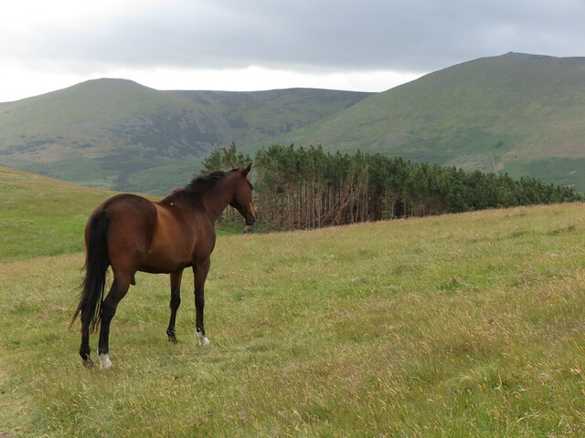
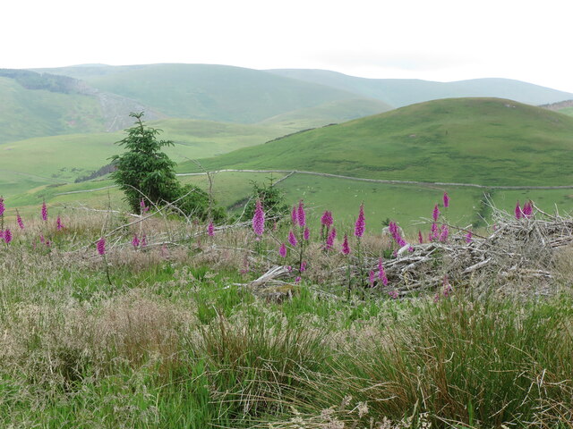
The biodiversity of Black Bog is remarkable, attracting a wide range of wildlife. Numerous bird species, including wading birds like curlews and redshanks, find sanctuary in the marshland. Additionally, the wetland habitat supports a variety of insects, amphibians, and small mammals.

Black Bog's ecological significance cannot be understated. It provides a vital breeding ground and feeding habitat for numerous species, contributing to the overall biodiversity of the region. Efforts are being made to conserve and protect this precious coastal marsh and saltings, ensuring its continued importance for both wildlife and the local community.

If you have any feedback on the listing, please let us know in the comments section below.
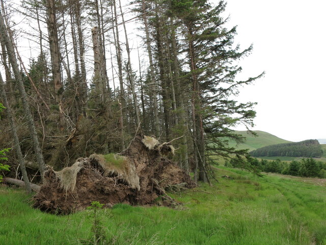
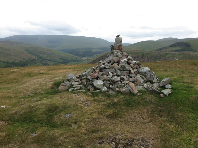
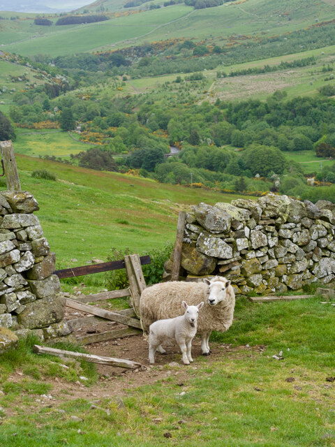
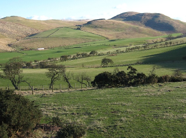
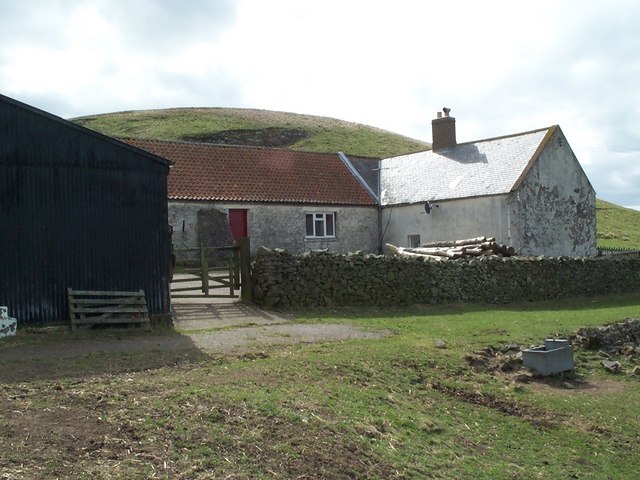
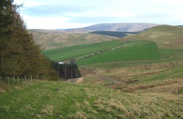
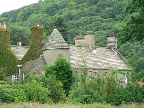
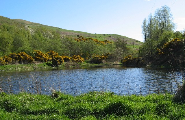
Black Bog Images

Images are sourced within 2km of 55.5551/-2.1977087 or Grid Reference NT8729. Thanks to Geograph Open Source API. All images are credited.

Standing Stones west of White Hill These are the same standing stones as are shown at <a title="https://www.geograph.org.uk/photo/3153964" href="https://www.geograph.org.uk/photo/3153964">Link</a> when Andrew Curtis passed this way in September 2012 although taken from a different angle. Since then the plantation in the background has suffered quite some damage as a consequence of Storm Arwen which caused widespread devastation in November 2021. The damage caused by the storm was compounded by the fact that "sustained winds with gusts in excess of 90 mph were, unusually, from the north-east, affecting trees that do not normally have to yield to those winds." For a selection of detailed free to download walking routes in the area visit <span class="nowrap"><a title="www.cheviotwalks.co.uk" rel="nofollow ugc noopener" href="http://www.cheviotwalks.co.uk">Link</a><img style="margin-left:2px;" alt="External link" title="External link - shift click to open in new window" src="https://s1.geograph.org.uk/img/external.png" width="10" height="10"/></span>
Standing Stones west of White Hill
These are the same standing stones as are shown at Link when Andrew Curtis passed this way in September 2012 although taken from a different angle. Since then the plantation in the background has suffered quite some damage as a consequence of Storm Arwen which caused widespread devastation in November 2021. The damage caused by the storm was compounded by the fact that "sustained winds with gusts in excess of 90 mph were, unusually, from the north-east, affecting trees that do not normally have to yield to those winds." For a selection of detailed free to download walking routes in the area visit LinkExternal link
Plantation south west of White Hill This photo shows some of the devastation to this plantation caused by Storm Arwen in November 2021. The damage caused by the storm was compounded by the fact that "sustained winds with gusts in excess of 90 mph were, unusually, from the north-east, affecting trees that do not normally have to yield to those winds." This edge of the plantation faces directly north east and can be seen from afar at <a title="https://www.geograph.org.uk/photo/7212718" href="https://www.geograph.org.uk/photo/7212718">Link</a>. For a selection of detailed free to download walking routes in the area visit <span class="nowrap"><a title="www.cheviotwalks.co.uk" rel="nofollow ugc noopener" href="http://www.cheviotwalks.co.uk">Link</a><img style="margin-left:2px;" alt="External link" title="External link - shift click to open in new window" src="https://s1.geograph.org.uk/img/external.png" width="10" height="10"/></span>
Plantation south west of White Hill
This photo shows some of the devastation to this plantation caused by Storm Arwen in November 2021. The damage caused by the storm was compounded by the fact that "sustained winds with gusts in excess of 90 mph were, unusually, from the north-east, affecting trees that do not normally have to yield to those winds." This edge of the plantation faces directly north east and can be seen from afar at Link. For a selection of detailed free to download walking routes in the area visit LinkExternal link
Horse near White Hill There were two horses standing close to the route of the local Hillfort's Trail as I climbed away from the nearby plantation. They showed no interest in me as I cautiously passed between them. This one was, it seems, too interested in enjoying the fine view towards Easter and Wester Tors. For a selection of detailed free to download walking routes in the area visit <span class="nowrap"><a title="www.cheviotwalks.co.uk" rel="nofollow ugc noopener" href="http://www.cheviotwalks.co.uk">Link</a><img style="margin-left:2px;" alt="External link" title="External link - shift click to open in new window" src="https://s1.geograph.org.uk/img/external.png" width="10" height="10"/></span>
Horse near White Hill
There were two horses standing close to the route of the local Hillfort's Trail as I climbed away from the nearby plantation. They showed no interest in me as I cautiously passed between them. This one was, it seems, too interested in enjoying the fine view towards Easter and Wester Tors. For a selection of detailed free to download walking routes in the area visit LinkExternal link
Foxgloves, Plantation north of Elsdonburn This plantation has been partially felled thus allowing foxgloves and other wild flowers to flourish. The hill in the middle distance is Ell's Knowe the summit of which is shown at <a title="https://www.geograph.org.uk/photo/5686724" href="https://www.geograph.org.uk/photo/5686724">Link</a>. For a selection of detailed free to download walking routes in the area visit <span class="nowrap"><a title="www.cheviotwalks.co.uk" rel="nofollow ugc noopener" href="http://www.cheviotwalks.co.uk">Link</a><img style="margin-left:2px;" alt="External link" title="External link - shift click to open in new window" src="https://s1.geograph.org.uk/img/external.png" width="10" height="10"/></span>
Foxgloves, Plantation north of Elsdonburn
This plantation has been partially felled thus allowing foxgloves and other wild flowers to flourish. The hill in the middle distance is Ell's Knowe the summit of which is shown at Link. For a selection of detailed free to download walking routes in the area visit LinkExternal link
Permissive Footpath near Haddon Hill The twin indentations to the extreme right of the plantation mark the route of a Permissive Footpath which forms part of the local Hillfort's Trail. This photo also shows some of the devastation to the plantation caused by Storm Arwen in November 2021. The damage caused by the storm was compounded by the fact that "sustained winds with gusts in excess of 90 mph were, unusually, from the north-east, affecting trees that do not normally have to yield to those winds." For a selection of detailed free to download walking routes in the area visit <span class="nowrap"><a title="www.cheviotwalks.co.uk" rel="nofollow ugc noopener" href="http://www.cheviotwalks.co.uk">Link</a><img style="margin-left:2px;" alt="External link" title="External link - shift click to open in new window" src="https://s1.geograph.org.uk/img/external.png" width="10" height="10"/></span>
Permissive Footpath near Haddon Hill
The twin indentations to the extreme right of the plantation mark the route of a Permissive Footpath which forms part of the local Hillfort's Trail. This photo also shows some of the devastation to the plantation caused by Storm Arwen in November 2021. The damage caused by the storm was compounded by the fact that "sustained winds with gusts in excess of 90 mph were, unusually, from the north-east, affecting trees that do not normally have to yield to those winds." For a selection of detailed free to download walking routes in the area visit LinkExternal link
Cairn, Great Hetha This cairn marks the 343 metres (1,125 feet) high top of Great Hetha, a small hill which enjoys enviable views in all directions. This view looks towards the Cheviot heartland where the mighty Cheviot itself, the highest in the range,  dominates. Compare this view with the view in the opposite direction which can be seen at <a title="https://www.geograph.org.uk/photo/6518588" href="https://www.geograph.org.uk/photo/6518588">Link</a>. Also note the slight change in the shape of the cairn since my visit in June 2020. The summit area is home to the fine remains of an Iron Age defended settlement (hillfort). For a selection of detailed free to download walking routes in the area visit <span class="nowrap"><a title="www.cheviotwalks.co.uk" rel="nofollow ugc noopener" href="http://www.cheviotwalks.co.uk">Link</a><img style="margin-left:2px;" alt="External link" title="External link - shift click to open in new window" src="https://s1.geograph.org.uk/img/external.png" width="10" height="10"/></span>
Cairn, Great Hetha
This cairn marks the 343 metres (1,125 feet) high top of Great Hetha, a small hill which enjoys enviable views in all directions. This view looks towards the Cheviot heartland where the mighty Cheviot itself, the highest in the range, dominates. Compare this view with the view in the opposite direction which can be seen at Link. Also note the slight change in the shape of the cairn since my visit in June 2020. The summit area is home to the fine remains of an Iron Age defended settlement (hillfort). For a selection of detailed free to download walking routes in the area visit LinkExternal link
Sheepish Sentinels: Ewe and Lamb Stand Watch over the Questionable Wooden Barrier
Upper Kilham valley This grid square takes up the first half of the picture, beyond is Coldsmouth Hill (right skyline)
Upper Kilham valley
This grid square takes up the first half of the picture, beyond is Coldsmouth Hill (right skyline)
Summit cairn of Great Hetha This hill commands great views south towards The Cheviot, the shadow filled coire just right of the cairn is known as the Bizzle.
Summit cairn of Great Hetha
This hill commands great views south towards The Cheviot, the shadow filled coire just right of the cairn is known as the Bizzle.
Great Hetha Looking NE along Great Hetha's SW ridge. (or "Rig" as they are known in the borders)
Great Hetha
Looking NE along Great Hetha's SW ridge. (or "Rig" as they are known in the borders)
Hetha Valley Following the road out from Trowupburn.
Hetha Valley
Following the road out from Trowupburn.
Elsdon Valley The road follows the Elsdon Burn into College Valley.
Elsdon Valley
The road follows the Elsdon Burn into College Valley.
High Pasture Looking ENE from the northern slopes of Madam Law. The hill immediately in front (just out of grid square) is Ell's Knowe. Yeavering Bell is the distant hill on the right skyline.
High Pasture
Looking ENE from the northern slopes of Madam Law. The hill immediately in front (just out of grid square) is Ell's Knowe. Yeavering Bell is the distant hill on the right skyline.
Dam in the burn This dam appears to have no purpose but is there in the valley upstream from Westnewton and The Straw - it is just beside the track of Kirknewton Bridleway No. 6
Dam in the burn
This dam appears to have no purpose but is there in the valley upstream from Westnewton and The Straw - it is just beside the track of Kirknewton Bridleway No. 6
Which way to go? If you reach this point on Kirknewton Bridleway No 6, you come to this branch in the track. To the left you can see a waymark post but if you go up the left branch and follow the track indicated, you end up nowhere. It is simply a farmer's track when managing his sheep. To the right you should see a line of walking poles which we inserted to show the correct track. We are trying to get this corrected. The location is called Mid Hill with the summit just off to the left.
Which way to go?
If you reach this point on Kirknewton Bridleway No 6, you come to this branch in the track. To the left you can see a waymark post but if you go up the left branch and follow the track indicated, you end up nowhere. It is simply a farmer's track when managing his sheep. To the right you should see a line of walking poles which we inserted to show the correct track. We are trying to get this corrected. The location is called Mid Hill with the summit just off to the left.
Watch the bog! Insignificant wicket gate - or is it. This lies on the boundary between Kirknewton and Kilham parishes (and if you didn't know it, at parish boundaries, all footpaths and bridleway are renumbered to the parish they are in) So here the Kirknewton public footpath No. 5 ends and Kilham public footpath No. 4 continues on. However Kirknewton Bridleway No. 6 also ends here and there is no ongoing bridleway, so what you are to do with your horse here, other than returning from whence you came, no-one knows.
Watch the bog!
Insignificant wicket gate - or is it. This lies on the boundary between Kirknewton and Kilham parishes (and if you didn't know it, at parish boundaries, all footpaths and bridleway are renumbered to the parish they are in) So here the Kirknewton public footpath No. 5 ends and Kilham public footpath No. 4 continues on. However Kirknewton Bridleway No. 6 also ends here and there is no ongoing bridleway, so what you are to do with your horse here, other than returning from whence you came, no-one knows.
Elsdonburn Shank Farm buildings at Elsdonburn Shank
Elsdonburn Shank
Farm buildings at Elsdonburn Shank
Elsdonburn Looking SE towards the Cheviot.
Elsdonburn
Looking SE towards the Cheviot.
Show me another place!

Black Bog is located at Grid Ref: NT8729 (Lat: 55.5551, Lng: -2.1977087)

Unitary Authority: Northumberland

Police Authority: Northumbria

What 3 Words

///parts.train.consented. Near Kirknewton, Northumberland

Nearby Locations

Black Bog Haddon Hill

Related Wikis

College Valley

The College Valley is one of five cuttings into the Cheviot Hills. The valley is owned by College Valley Estates which in turn is funded by a trust created...

Hethpool House

Hethpool House is an Edwardian house in Hethpool, in the civil parish of Kirknewton, near Wooler, Northumberland, England which has Grade II listed building...

Westnewton, Northumberland

Westnewton is a small hamlet comprising around 8 houses and a manse to the west of the village of Kirknewton, in the civil parish of Kirknewton, in the...

Kilham, Northumberland

Kilham is a hamlet and civil parish in the English county of Northumberland, located 8.0 miles (12.9 km) west of Wooler, 12.0 miles (19.3 km) east of Kelso...

Bowmont Water

Bowmont Water is a stream in the Scottish Borders and Northumberland, England. It rises in the Cheviot Hills and flows by Mowhaugh, Town Yetholm, and Kirk...

Kirknewton (Northumberland) railway station

Kirknewton railway station served the village of Kirknewton, Northumberland, England from 1887 to 1953 on the Cornhill Branch. == History == The station...

Newton Tors

The Newton Tors are large, free-standing residual masses (rock outcrop) that form the western rim of the Great Moor which runs from the market town of...

Kirknewton, Northumberland

Kirknewton is a Northumbrian village in the north of the county of Northumberland, about 6 miles (10 km) from the town of Wooler and roughly the same distance...

Nearby Amenities

Located within 500m of 55.5551,-2.1977087
Laddie's Knowe (Betsy's Cairn)
Place: locality
Lat/Long: 55.5522927/-2.1960207
Black Bog
Place: locality
Lat/Long: 55.5555489/-2.1965703
The data included in this document is from www.openstreetmap.org. The data is made available under ODbL.

Have you been to Black Bog?

Leave your review of Black Bog below (or comments, questions and feedback).