Marl Bog

Coastal Marsh, Saltings in Northumberland

England

Marl Bog

Flodden Battlefield Monument (1513), Northumberland The Battle of Flodden, Flodden Field, or occasionally Branxton, was a battle fought on 9 September 1513 during the War of the League of Cambrai between the Kingdom of England and the Kingdom of Scotland, resulting in an English victory. The battle was fought near Branxton in the county of Northumberland in northern England, between an invading Scots army under King James IV and an English army commanded by the Earl of Surrey. In terms of troop numbers, it was the largest battle fought between the two kingdoms.

<span class="nowrap"><a title="https://en.wikipedia.org/wiki/Battle_of_Flodden" rel="nofollow ugc noopener" href="https://en.wikipedia.org/wiki/Battle_of_Flodden">Link</a><img style="margin-left:2px;" alt="External link" title="External link - shift click to open in new window" src="https://s1.geograph.org.uk/img/external.png" width="10" height="10"/></span>
Flodden Battlefield Monument (1513), Northumberland Credit: Brian Deegan

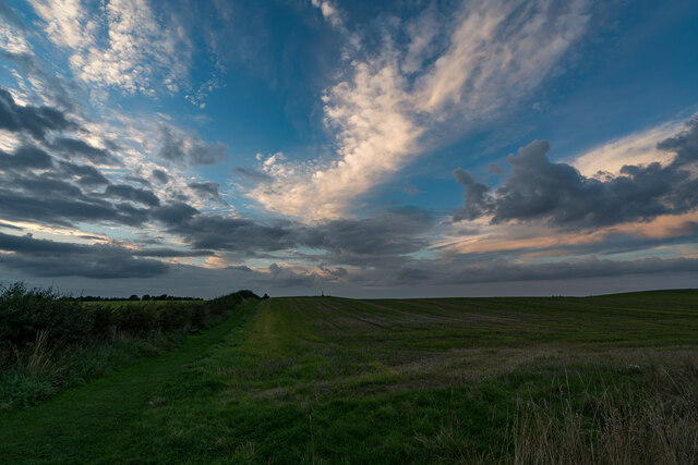
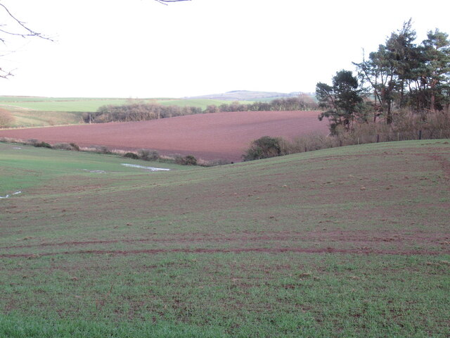
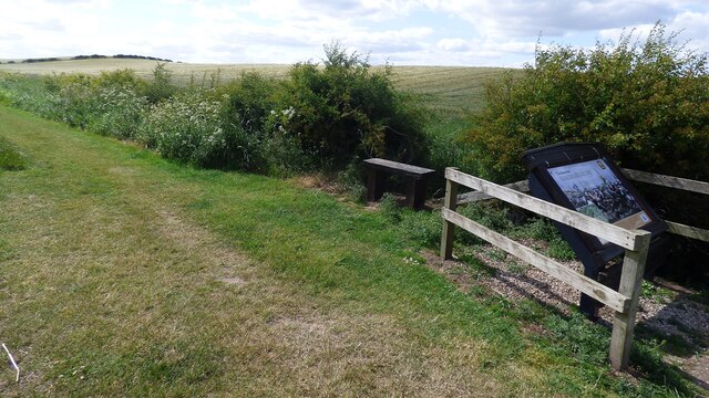
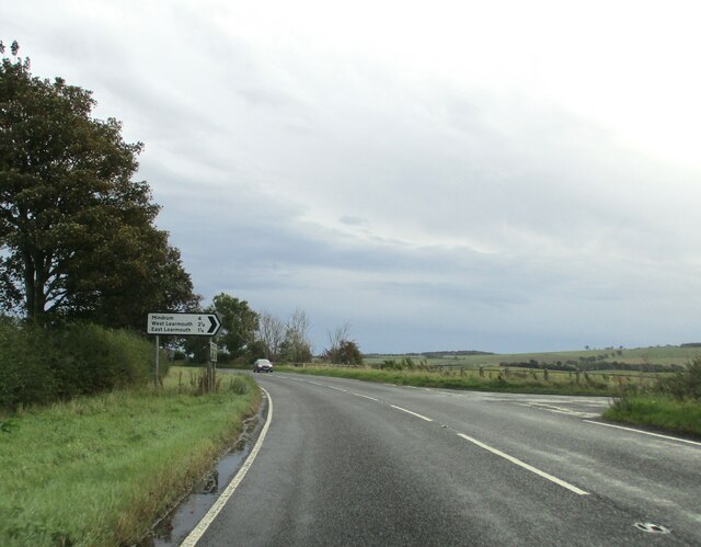
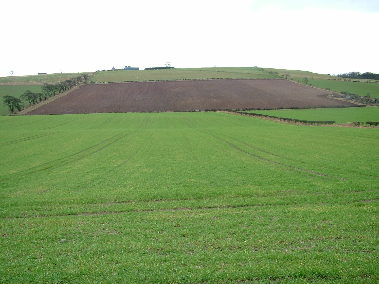
Marl Bog, located in Northumberland, is a coastal marsh and saltings area that spans over a significant stretch of land. This unique natural landscape is situated along the eastern coast of England, close to the North Sea. Marl Bog is characterized by its diverse ecosystem, which supports a wide variety of plant and animal species.

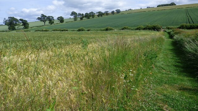
The main feature of Marl Bog is its rich and fertile soil, known as marl, which is a mixture of clay and calcium carbonate. This type of soil provides ideal conditions for the growth of a range of plants, including reeds, rushes, and sedges. These plants form dense vegetation that creates a habitat for various bird species, such as reed warblers, bitterns, and marsh harriers.

The marshland is also home to several rare and protected species, including the natterjack toad and the marsh fritillary butterfly. These creatures thrive in the damp and marshy environment, which offers them ample food sources and suitable breeding conditions.

In addition to its ecological importance, Marl Bog serves as a crucial coastal defense mechanism against erosion and flooding. The dense vegetation acts as a natural barrier, absorbing the impact of waves and reducing the risk of erosion along the coast.

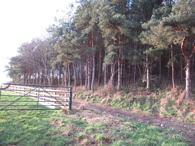
Marl Bog is a popular destination for nature enthusiasts and birdwatchers due to its diverse wildlife and picturesque scenery. Visitors can explore the area through designated walking trails, observing the unique flora and fauna that thrive in this coastal marshland.

If you have any feedback on the listing, please let us know in the comments section below.

Marl Bog Images

Images are sourced within 2km of 55.628565/-2.1966813 or Grid Reference NT8737. Thanks to Geograph Open Source API. All images are credited.

Flodden Battlefield Monument (1513), Northumberland The Battle of Flodden, Flodden Field, or occasionally Branxton, was a battle fought on 9 September 1513 during the War of the League of Cambrai between the Kingdom of England and the Kingdom of Scotland, resulting in an English victory. The battle was fought near Branxton in the county of Northumberland in northern England, between an invading Scots army under King James IV and an English army commanded by the Earl of Surrey. In terms of troop numbers, it was the largest battle fought between the two kingdoms.

<span class="nowrap"><a title="https://en.wikipedia.org/wiki/Battle_of_Flodden" rel="nofollow ugc noopener" href="https://en.wikipedia.org/wiki/Battle_of_Flodden">Link</a><img style="margin-left:2px;" alt="External link" title="External link - shift click to open in new window" src="https://s1.geograph.org.uk/img/external.png" width="10" height="10"/></span>
Flodden Battlefield Monument (1513), Northumberland
The Battle of Flodden, Flodden Field, or occasionally Branxton, was a battle fought on 9 September 1513 during the War of the League of Cambrai between the Kingdom of England and the Kingdom of Scotland, resulting in an English victory. The battle was fought near Branxton in the county of Northumberland in northern England, between an invading Scots army under King James IV and an English army commanded by the Earl of Surrey. In terms of troop numbers, it was the largest battle fought between the two kingdoms. LinkExternal link
Battle Ground Flodden (1513) Looking back up the hill to the monument. This would have been marsh ground and very difficult to cross.
Battle Ground Flodden (1513)
Looking back up the hill to the monument. This would have been marsh ground and very difficult to cross.
St Paul's Church, Branxton
Overgrown road A densely vegetated space between two hedges on Blake Law
Overgrown road
A densely vegetated space between two hedges on Blake Law
Fields by the Duddo Burn A chainsaw could be heard from the woods to the right, there was a lot of clearing up being done after a storm the previous November.
Fields by the Duddo Burn
A chainsaw could be heard from the woods to the right, there was a lot of clearing up being done after a storm the previous November.
Low Bank Plantation, East Learmonth
Battle of Flodden Field Monument <span class="nowrap"><a title="https://www.flodden1513ecomuseum.org/places/local/flodden-field" rel="nofollow ugc noopener" href="https://www.flodden1513ecomuseum.org/places/local/flodden-field">Link</a><img style="margin-left:2px;" alt="External link" title="External link - shift click to open in new window" src="https://s1.geograph.org.uk/img/external.png" width="10" height="10"/></span>
Battle of Flodden Field Monument
Flodden Field Where barley now grows there once was a bog that swallowed up an army.
Flodden Field
Where barley now grows there once was a bog that swallowed up an army.
Flodden Field At this spot James IV of Scotland was killed.
Flodden Field
At this spot James IV of Scotland was killed.
Branxton. Northumberland St Paul's Church, Branxton.
Branxton. Northumberland
St Paul's Church, Branxton.
Stock Law, Northumberland Looking southeast across Stock Law. In the distance can be seen the Flodden Field Memorial.
Stock Law, Northumberland
Looking southeast across Stock Law. In the distance can be seen the Flodden Field Memorial.
Barelees  Farm  on  A697  southbound Barelees farm cottages are behind the tree on the left
Barelees Farm on A697 southbound
Barelees farm cottages are behind the tree on the left
Minor  road  junction  on  A697  to  Mindrun
Minor road junction on A697 to Mindrun
Approaching  Branxton  turn  on  A697
Approaching Branxton turn on A697
Farming  complex  at  Crookham  Westfield
Farming complex at Crookham Westfield
Access  track  to  Cookstead  farm From A697
Access track to Cookstead farm
From A697
Flodden Memorial This monument commemorates the Battle of Flodden Field in 1513.
Flodden Memorial
This monument commemorates the Battle of Flodden Field in 1513.
Flodden Monument, Branxton
Show me another place!

Marl Bog is located at Grid Ref: NT8737 (Lat: 55.628565, Lng: -2.1966813)

Unitary Authority: Northumberland

Police Authority: Northumbria

What 3 Words

///seated.enjoys.dramatic. Near Coldstream, Scottish Borders

Nearby Locations

Marl Bog

Related Wikis

Barelees Pond

Barelees Pond is the name given to a Site of Special Scientific Interest (SSSI) in north Northumberland, England. The site is a kettle hole, a deep pond...

Bareless

Bareless is a village in Northumberland, England. == Governance == Bareless is in the parliamentary constituency of Berwick-upon-Tweed. == References ==
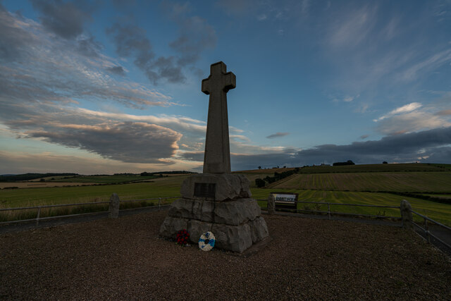
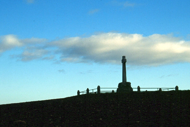
Battle of Flodden

The Battle of Flodden, Flodden Field, or occasionally Branxton or Brainston Moor was a battle that was fought on 9 September 1513 during the War of the...

Campfield Kettle Hole

Campfield Kettle Hole is the name given to a Site of Special Scientific Interest (SSSI) in north Northumberland, England. The site is thought to be the...

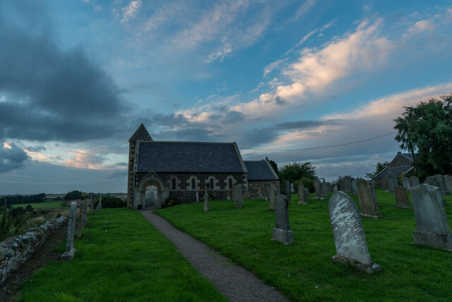
Branxton, Northumberland

Branxton is a village and civil parish in northern Northumberland, England. It lies about 3 miles (5 km) from the England-Scotland border and about 4 miles...

Cornhill-on-Tweed

Cornhill-on-Tweed is a small village and civil parish in Northumberland, England about 1 mile (1.6 km) to the east of Coldstream, Scotland. The hamlets...

Coldstream railway station

Coldstream railway station served the town of Coldstream in Berwickshire, Scotland although the station was across the River Tweed in Northumberland, England...

Pallinsburn House

Pallinsburn House is an 18th-century country house situated at Ford, Northumberland. It is a Grade II* listed building. The house was built about 1763...

Nearby Amenities

Located within 500m of 55.628565,-2.1966813
Power: tower
Source: Bing
Lat/Long: 55.6306161/-2.1961396
Power: tower
Source: Bing
Lat/Long: 55.6276662/-2.191912
The data included in this document is from www.openstreetmap.org. The data is made available under ODbL.

Have you been to Marl Bog?

Leave your review of Marl Bog below (or comments, questions and feedback).