Waveridge Sand
Coastal Marsh, Saltings in Gloucestershire Stroud
England
Waveridge Sand
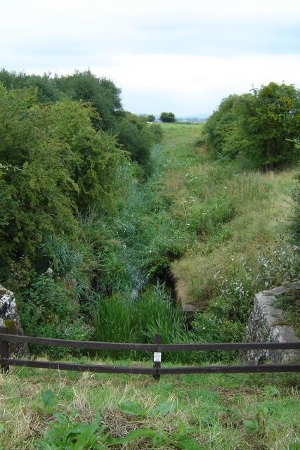
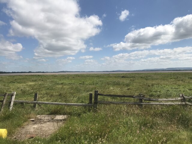
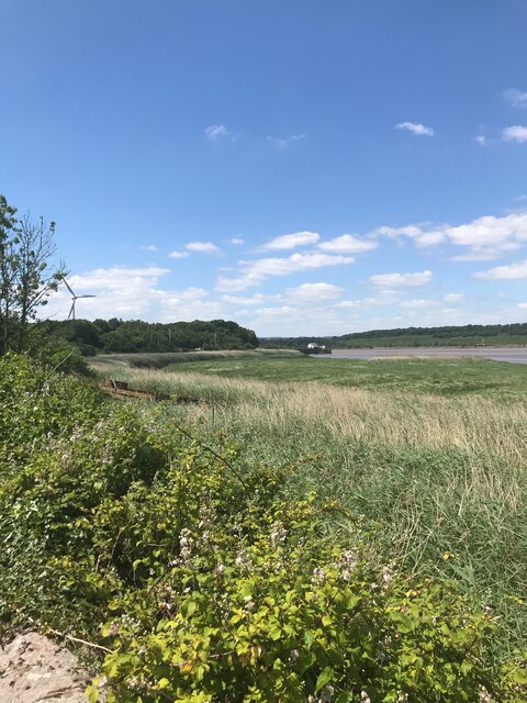
Waveridge Sand, located in Gloucestershire, is a coastal marsh area known for its unique ecosystem and picturesque beauty. Situated along the banks of the Severn Estuary, it is part of the wider Severn Estuary Site of Special Scientific Interest (SSSI).
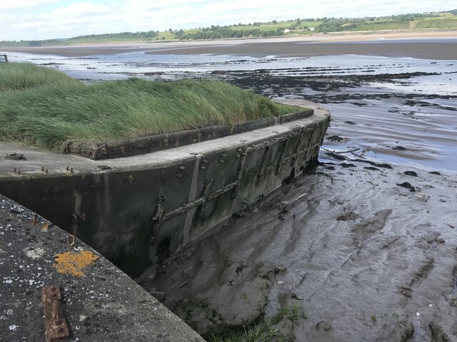
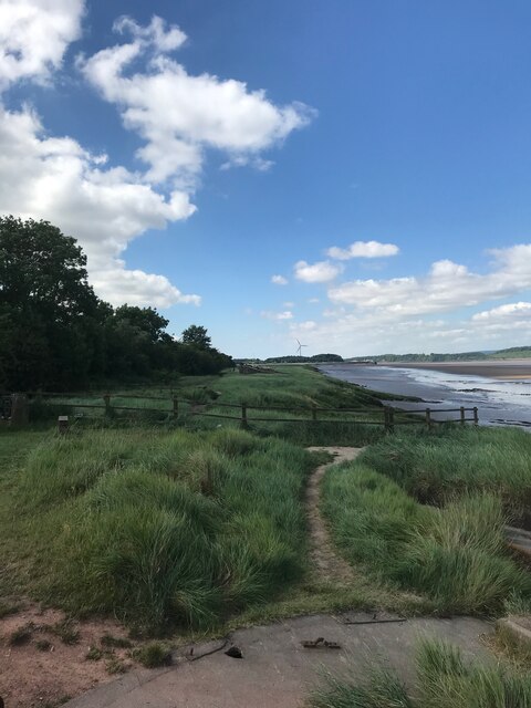
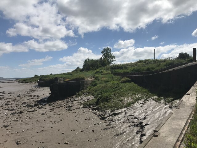
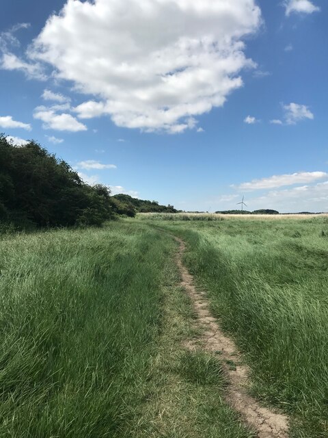
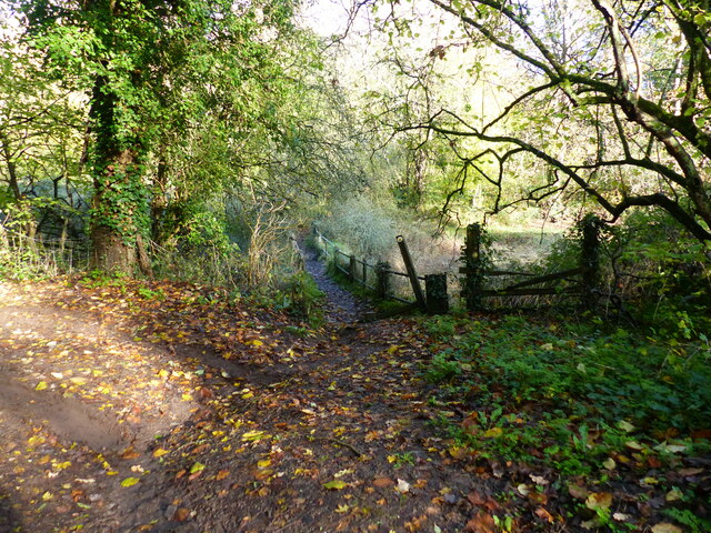
Covering an area of approximately 100 hectares, Waveridge Sand is characterized by its extensive saltmarshes and saltings. These habitats are formed by the deposition of sediment carried by the tidal currents and are influenced by the regular ebb and flow of the tides. The saltmarshes are home to a diverse range of plant species adapted to high salinity levels and the constantly changing water levels. Common species found in the area include saltmarsh grasses, sea lavender, and thrift.
The marshland also provides important feeding and breeding grounds for numerous bird species, making it a popular destination for birdwatchers. Species commonly spotted at Waveridge Sand include Brent geese, curlew, redshank, and various species of wading birds. The area is particularly significant during the winter months when it becomes a haven for migratory birds seeking refuge from colder climates.
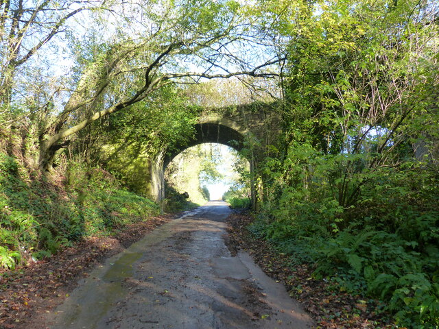
Aside from its ecological significance, Waveridge Sand is also admired for its stunning natural beauty. The expansive saltmarshes, with their ever-changing colors and textures, create a mesmerizing landscape that attracts visitors throughout the year. The area is accessible by foot via a network of footpaths, allowing visitors to explore and appreciate the unique flora and fauna that thrive in this coastal marshland.
In summary, Waveridge Sand in Gloucestershire offers a glimpse into a delicate and biodiverse ecosystem. With its saltmarshes, saltings, and diverse birdlife, it presents a haven for nature lovers and enthusiasts seeking to immerse themselves in the majesty of coastal marshes.
If you have any feedback on the listing, please let us know in the comments section below.
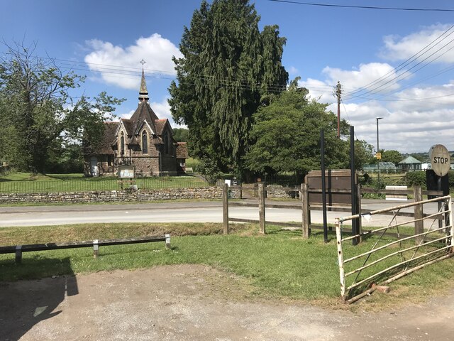
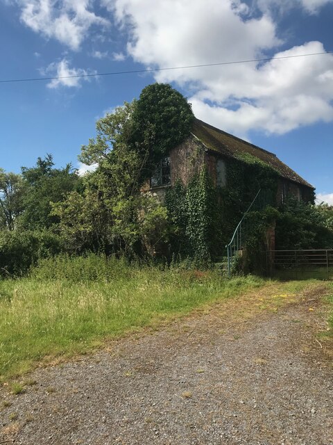
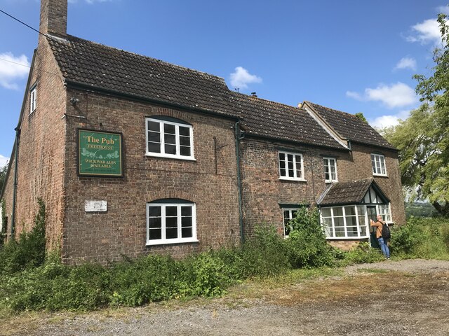
Waveridge Sand Images
Images are sourced within 2km of 51.740836/-2.4587919 or Grid Reference SO6804. Thanks to Geograph Open Source API. All images are credited.
Waveridge Sand is located at Grid Ref: SO6804 (Lat: 51.740836, Lng: -2.4587919)
Administrative County: Gloucestershire
District: Stroud
Police Authority: Gloucestershire
What 3 Words
///discloses.status.bars. Near Sharpness, Gloucestershire
Nearby Locations
Related Wikis
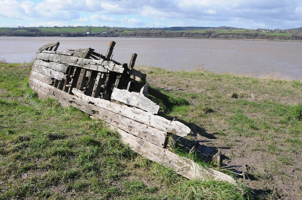
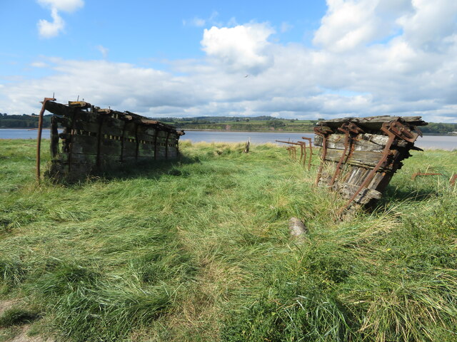
Purton Hulks
The Purton Hulks or Purton Ships' Graveyard is a number of abandoned boats and ships, deliberately beached beside the River Severn near Purton in Gloucestershire...

Berkeley Arms, Purton
The Berkeley Arms is a public house at Purton, Gloucestershire GL13 9HU. It is on the Campaign for Real Ale's National Inventory of Historic Pub Interiors...

Purton, Berkeley
Purton is a village on the east bank of the River Severn, 3 miles north of Berkeley, in Gloucestershire, England. The village is in the civil parish of...

Purton, Lydney
Purton is a hamlet on the west bank of the River Severn, in the civil parish of Lydney in Gloucestershire, England. It lies opposite the village of Purton...

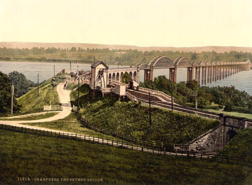
Severn Railway Bridge
The Severn Railway Bridge (historically called the Severn Bridge) was a bridge carrying the railway across the River Severn between Sharpness and Lydney...
Severn Bridge railway station
Severn Bridge railway station was a small station on the Severn Bridge Railway located close to the north west bank of the River Severn, 2 miles (3 km...

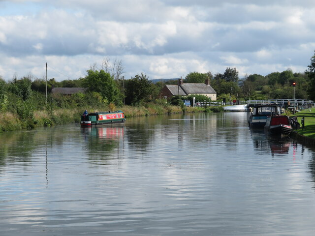
Gloucester and Sharpness Canal
The Gloucester and Sharpness Canal (also known as the Gloucester and Berkeley Canal) is a ship canal in the west of England, between Gloucester and Sharpness...
Clarke's Pool Meadow SSSI
Clarke's Pool Meadow (grid reference SO668061) is a 1.8-hectare (4.4-acre) biological Site of Special Scientific Interest in Gloucestershire, notified...
Nearby Amenities
Located within 500m of 51.740836,-2.4587919Have you been to Waveridge Sand?
Leave your review of Waveridge Sand below (or comments, questions and feedback).