Cotterday Hole
Sea, Estuary, Creek in Gloucestershire Stroud
England
Cotterday Hole
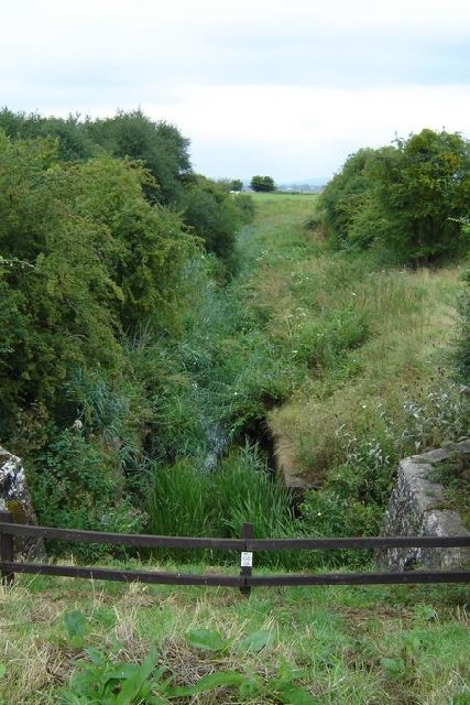
Cotterday Hole is a picturesque estuary located in Gloucestershire, England. Nestled along the country's southwestern coast, it is renowned for its breathtaking natural beauty and diverse ecosystem. The estuary is formed by the confluence of the River Cotter and the River Day, which meet at this point before flowing into the Bristol Channel.
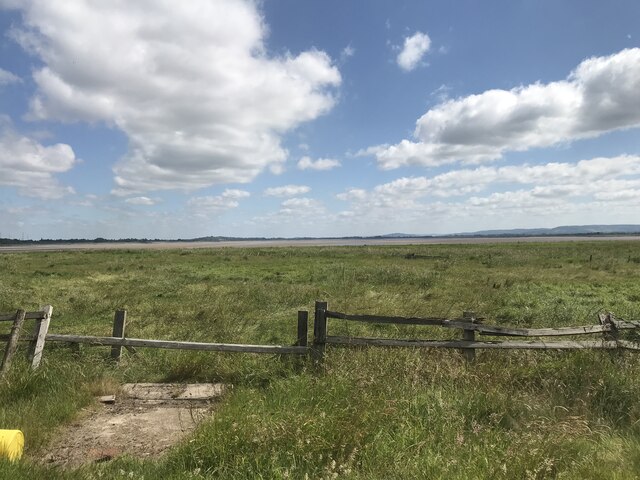
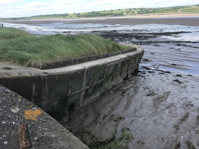
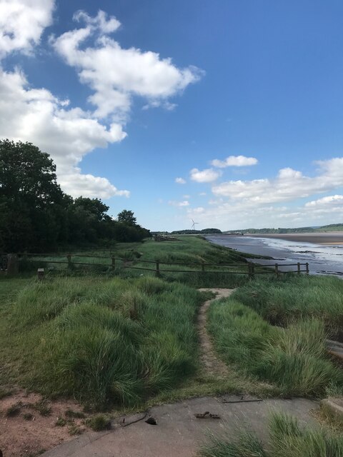
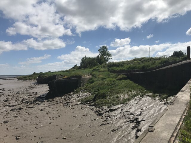
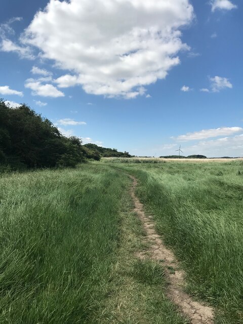
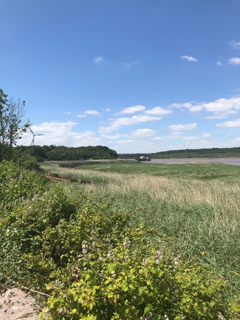
Stretching over a mile in length, Cotterday Hole offers a variety of landscapes to explore. The estuary is characterized by its ever-changing tides, which create a dynamic environment that attracts a wide array of marine life. During low tide, vast mudflats are exposed, providing a feeding ground for wading birds such as curlews and herons. As the tide rises, the estuary transforms into a serene body of water, attracting kayakers and sailors.
Surrounded by lush greenery, Cotterday Hole is a haven for nature enthusiasts. The area is home to a rich biodiversity, including numerous species of fish, crabs, and shellfish that thrive in its brackish waters. The estuary also serves as a crucial habitat for migratory birds, providing a vital stopover point during their journeys.
Visitors to Cotterday Hole can enjoy a variety of recreational activities. The estuary is a popular destination for birdwatching, fishing, and boating. The surrounding countryside offers scenic walking trails, allowing visitors to explore the estuary's natural wonders while taking in the panoramic views.
Cotterday Hole is not only a natural treasure but also an important ecological site, contributing to the overall beauty and ecological health of Gloucestershire's coastal region. Whether one seeks tranquility, adventure, or a chance to observe wildlife, this estuary provides a unique and captivating experience for all who visit.
If you have any feedback on the listing, please let us know in the comments section below.
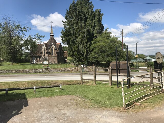
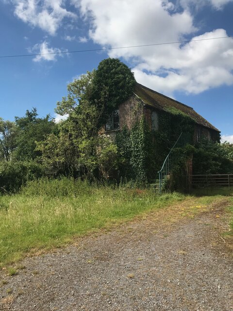
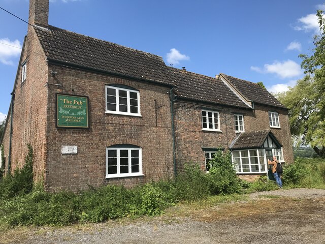
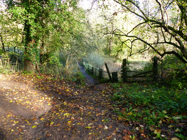
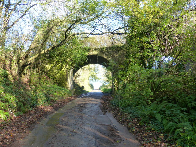
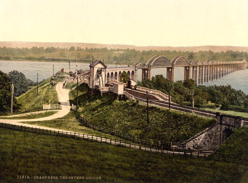
Cotterday Hole Images
Images are sourced within 2km of 51.739146/-2.4539378 or Grid Reference SO6804. Thanks to Geograph Open Source API. All images are credited.
Cotterday Hole is located at Grid Ref: SO6804 (Lat: 51.739146, Lng: -2.4539378)
Administrative County: Gloucestershire
District: Stroud
Police Authority: Gloucestershire
What 3 Words
///freed.dislodge.astounded. Near Sharpness, Gloucestershire
Nearby Locations
Related Wikis

Berkeley Arms, Purton
The Berkeley Arms is a public house at Purton, Gloucestershire GL13 9HU. It is on the Campaign for Real Ale's National Inventory of Historic Pub Interiors...
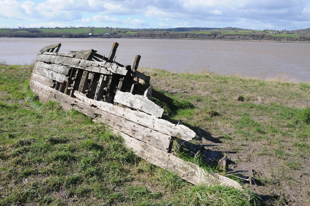
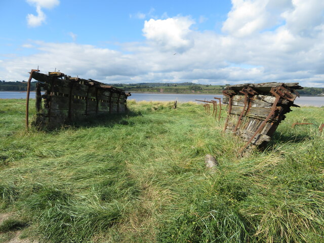
Purton Hulks
The Purton Hulks or Purton Ships' Graveyard is a number of abandoned boats and ships, deliberately beached beside the River Severn near Purton in Gloucestershire...

Purton, Berkeley
Purton is a village on the east bank of the River Severn, 3 miles north of Berkeley, in Gloucestershire, England. The village is in the civil parish of...

Severn Railway Bridge
The Severn Railway Bridge (historically called the Severn Bridge) was a bridge carrying the railway across the River Severn between Sharpness and Lydney...

Purton, Lydney
Purton is a hamlet on the west bank of the River Severn, in the civil parish of Lydney in Gloucestershire, England. It lies opposite the village of Purton...
Severn Bridge railway station
Severn Bridge railway station was a small station on the Severn Bridge Railway located close to the north west bank of the River Severn, 2 miles (3 km...

Sharpness railway station
Sharpness railway station served the village and docks of Sharpness in Gloucestershire, England from 1875 to 1964. == History == The station was on the...
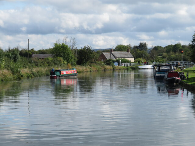
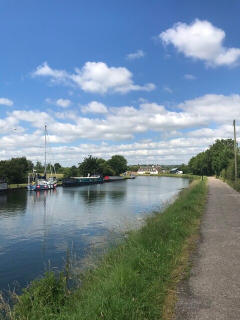
Gloucester and Sharpness Canal
The Gloucester and Sharpness Canal (also known as the Gloucester and Berkeley Canal) is a ship canal in the west of England, between Gloucester and Sharpness...
Nearby Amenities
Located within 500m of 51.739146,-2.4539378Have you been to Cotterday Hole?
Leave your review of Cotterday Hole below (or comments, questions and feedback).