Collow Pill
Sea, Estuary, Creek in Gloucestershire Forest of Dean
England
Collow Pill
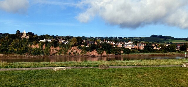
Collow Pill is a small coastal area situated in Gloucestershire, England. It is known for its picturesque views and diverse natural features, including a sea, estuary, and creek. Located near the village of Collow, this area offers a unique blend of marine and freshwater environments.
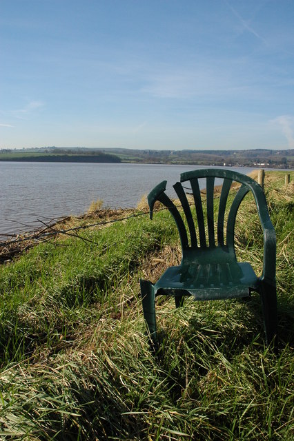
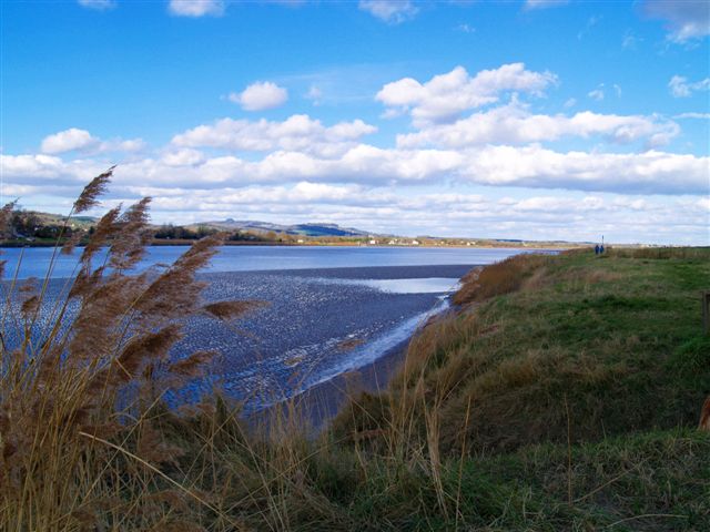
The sea at Collow Pill is part of the Bristol Channel, providing visitors with stunning vistas of the ocean and its ever-changing tides. The coastline features rocky cliffs and sandy beaches, offering opportunities for beachcombing, swimming, and coastal walks.
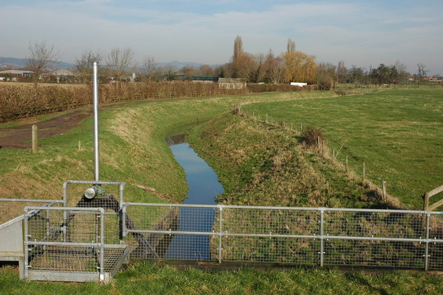
At the mouth of the River Collow, an estuary forms, creating a dynamic ecosystem where saltwater from the sea mixes with freshwater from the river. This estuary serves as a vital habitat for numerous bird species, such as herons and egrets, as well as a variety of fish and shellfish.
Inland from the estuary, a creek meanders through the landscape, surrounded by marshes and reed beds. This creek is a haven for wildlife, including otters, water voles, and wading birds. It also provides a tranquil setting for recreational activities like kayaking and canoeing.
Collow Pill is a popular destination for nature enthusiasts and those seeking a peaceful retreat. Visitors can enjoy birdwatching, coastal walks, or simply relax and take in the breathtaking scenery. With its unique combination of sea, estuary, and creek, Collow Pill offers a truly diverse and captivating natural environment.
If you have any feedback on the listing, please let us know in the comments section below.
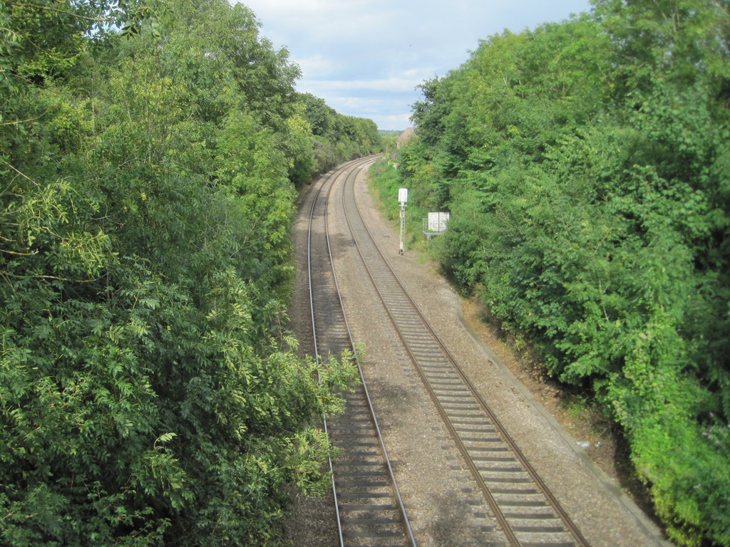
Collow Pill Images
Images are sourced within 2km of 51.798699/-2.450374 or Grid Reference SO6911. Thanks to Geograph Open Source API. All images are credited.


Collow Pill is located at Grid Ref: SO6911 (Lat: 51.798699, Lng: -2.450374)
Administrative County: Gloucestershire
District: Forest of Dean
Police Authority: Gloucestershire
What 3 Words
///code.diary.removable. Near Cinderford, Gloucestershire
Nearby Locations
Related Wikis
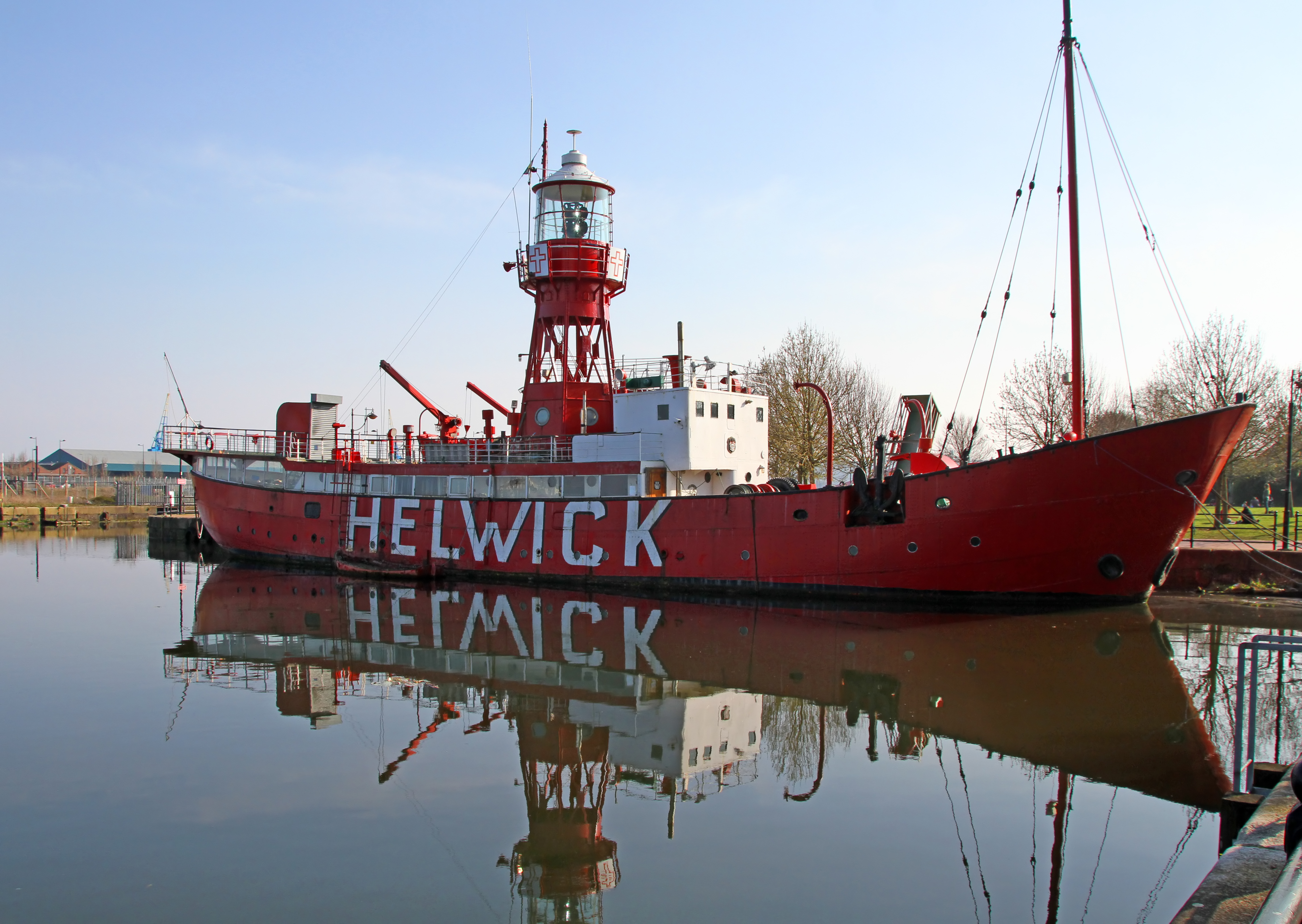
Lightship 2000
Lightship 2000 (Welsh: Goleulong 2000) was a restored old red lightvessel with a cafe and chapel on board situated in Cardiff Bay. During the redevelopment...

Ruddle Road Halt railway station
Ruddle Road Halt railway station was a minor station on the Gloucester-Newport Railway on the outskirts of Newnham, Gloucestershire. It was also the start...

Newnham on Severn
Newnham or Newnham on Severn is a village in west Gloucestershire, England. It lies in the Royal Forest of Dean, on the west bank of the River Severn,...
Newnham railway station
Newnham railway station was a station serving the village of Newnham on Severn, Gloucestershire. == History == The South Wales Railway was formed in 1845...
Nearby Amenities
Located within 500m of 51.798699,-2.450374Have you been to Collow Pill?
Leave your review of Collow Pill below (or comments, questions and feedback).