Nelson Point

Coastal Marsh, Saltings in Gloucestershire

England

Nelson Point

Banks of the Severn Estuary This small, muddy, nameless inlet flows into the Severn estuary between Royal Portbury dock to the east and Portishead Marina to the west.  The smell of sewage here was very strong and I would hazard a guess that the sewage works to the south-east discharges some effluent into the severn via this channel.
Banks of the Severn Estuary Credit: Sharon Loxton

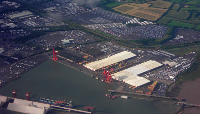
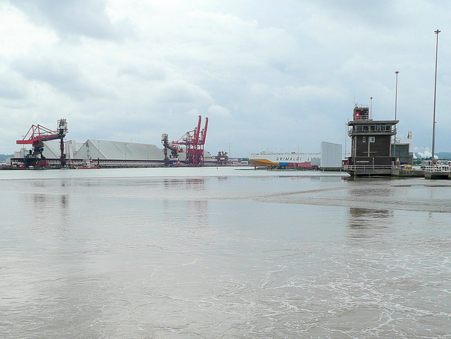
Nelson Point is a coastal marsh and saltings located in the county of Gloucestershire, England. Situated along the banks of the River Severn, it is known for its unique ecological features and diverse wildlife.

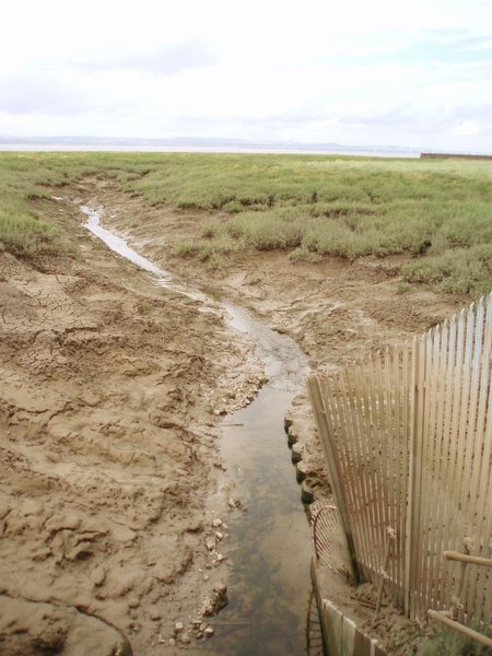
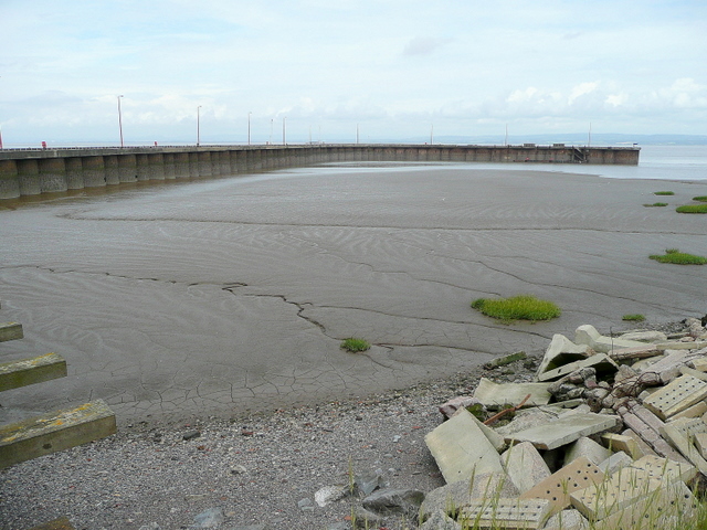
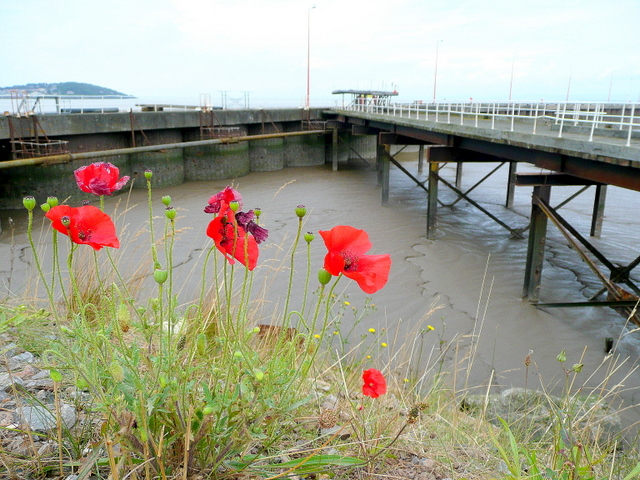
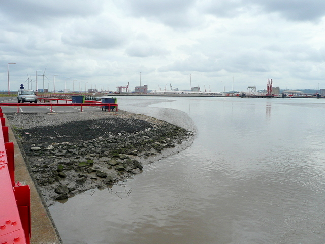
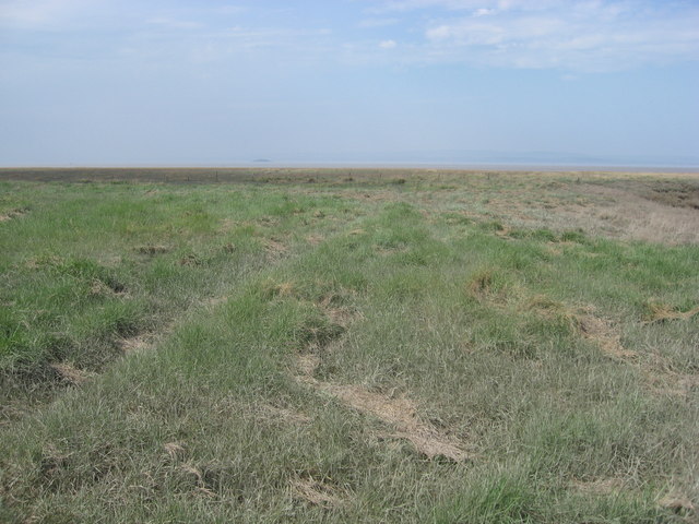
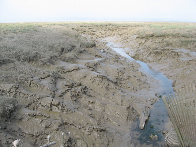
Covering an area of approximately 200 hectares, Nelson Point is characterized by its salt marshes and mudflats, which are inundated by the tidal waters of the Severn Estuary. These tidal variations create a dynamic environment that supports a wide range of plant and animal species.

The salt marshes of Nelson Point are dominated by halophytic plants such as saltmarsh grasses, sea lavender, and samphire. These plants have adapted to the high salinity levels and unstable substrate, creating a rich habitat for numerous invertebrates and bird species.

The site is of great importance for migratory birds, serving as a stopover point during their journey along the East Atlantic Flyway. It provides vital feeding and resting grounds for species such as dunlins, redshanks, curlews, and oystercatchers. Additionally, several species of wading birds can be spotted at Nelson Point, including the grey heron and little egret.

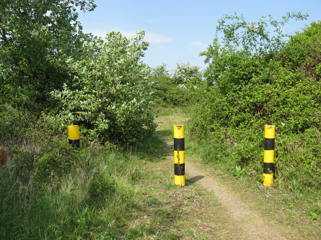
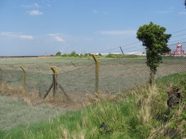
Access to Nelson Point is limited due to its sensitive ecological nature. However, there are designated footpaths and viewpoints that allow visitors to observe the wildlife without disturbing their habitat. The site is also monitored and managed by local conservation organizations to ensure the preservation of its unique ecosystem.

Overall, Nelson Point in Gloucestershire offers a fascinating glimpse into the world of coastal marshes and saltings, showcasing the incredible biodiversity that thrives in this delicate environment.

If you have any feedback on the listing, please let us know in the comments section below.

Nelson Point Images

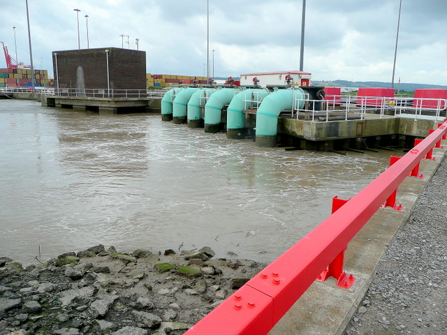
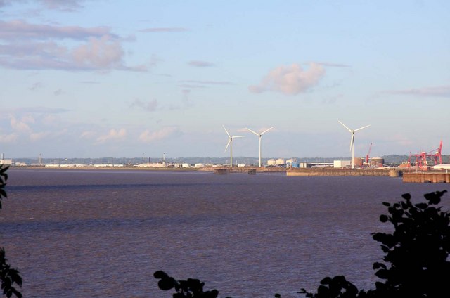
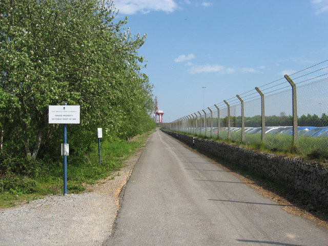
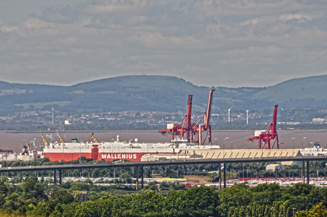
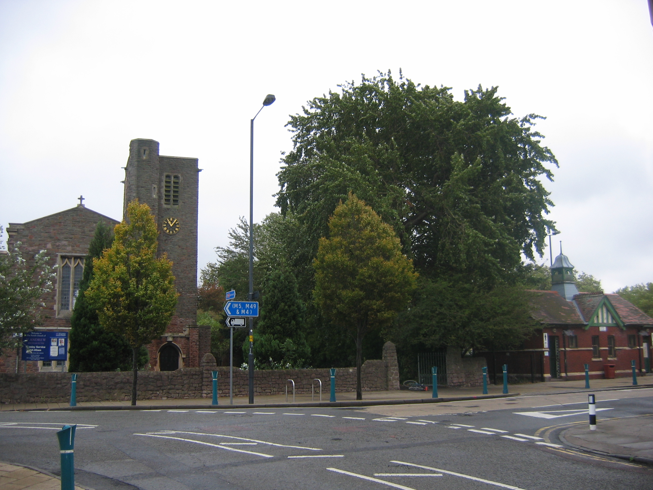
Images are sourced within 2km of 51.497391/-2.708741 or Grid Reference ST5077. Thanks to Geograph Open Source API. All images are credited.

Banks of the Severn Estuary This small, muddy, nameless inlet flows into the Severn estuary between Royal Portbury dock to the east and Portishead Marina to the west.  The smell of sewage here was very strong and I would hazard a guess that the sewage works to the south-east discharges some effluent into the severn via this channel.
Banks of the Severn Estuary
This small, muddy, nameless inlet flows into the Severn estuary between Royal Portbury dock to the east and Portishead Marina to the west. The smell of sewage here was very strong and I would hazard a guess that the sewage works to the south-east discharges some effluent into the severn via this channel.
Royal Portbury Dock, entrance lock On a still day in January
Royal Portbury Dock, entrance lock
On a still day in January
TORM VITA at Royal Portbury Dock TORM VITA was discharging jet fuel when the photo was taken.
TORM VITA at Royal Portbury Dock
TORM VITA was discharging jet fuel when the photo was taken.
East Pier at Royal Portbury Dock Looking north-west, away from the dock over the mudflats to the west of the Avon Mouth.
In the distance, right, the high ground of Monmouthshire can be seen.
I'm grateful to The Bristol Port Company for granting me access to this square.
<span class="nowrap"><a title="http://www.bristolport.co.uk/" rel="nofollow ugc noopener" href="http://www.bristolport.co.uk/">Link</a><img style="margin-left:2px;" alt="External link" title="External link - shift click to open in new window" src="https://s1.geograph.org.uk/img/external.png" width="10" height="10"/></span>
East Pier at Royal Portbury Dock
Looking north-west, away from the dock over the mudflats to the west of the Avon Mouth. In the distance, right, the high ground of Monmouthshire can be seen. I'm grateful to The Bristol Port Company for granting me access to this square. LinkExternal link
Wild poppy at Royal Portbury The colourful wild flower matches the scarlet livery used by the owners of The Royal Portbury Dock for some of its infrastructure.
The two access arms of the East Pier are in the background, and East Wood Hill at Portishead (<a href="https://www.geograph.org.uk/gridref/ST4777">ST4777</a>) can be seen in the distance.
Wild poppy at Royal Portbury
The colourful wild flower matches the scarlet livery used by the owners of The Royal Portbury Dock for some of its infrastructure. The two access arms of the East Pier are in the background, and East Wood Hill at Portishead (ST4777) can be seen in the distance.
The Royal Portbury Dock View of Portbury Docks seen from the air.
The Royal Portbury Dock
View of Portbury Docks seen from the air.
The Royal Portbury Dock 1 Looking east from near the port entrance towards the quay at which the Torm Vita was berthed when this previous (see <a href="https://www.geograph.org.uk/photo/1142701">ST4978 : TORM VITA at Royal Portbury Dock</a>) photo was taken.
I'm grateful to The Bristol Port Company for granting me access to this square. <span class="nowrap"><a title="http://www.bristolport.co.uk/" rel="nofollow ugc noopener" href="http://www.bristolport.co.uk/">Link</a><img style="margin-left:2px;" alt="External link" title="External link - shift click to open in new window" src="https://s1.geograph.org.uk/img/external.png" width="10" height="10"/></span>
The Royal Portbury Dock 1
Looking east from near the port entrance towards the quay at which the Torm Vita was berthed when this previous (see ST4978 : TORM VITA at Royal Portbury Dock) photo was taken. I'm grateful to The Bristol Port Company for granting me access to this square. LinkExternal link
The Royal Portbury Dock 2 Looking south-east down the length of the dock basin from the base of the East Pier. 
I'm grateful to The Bristol Port Company for granting me access to this square. <span class="nowrap"><a title="http://www.bristolport.co.uk/" rel="nofollow ugc noopener" href="http://www.bristolport.co.uk/">Link</a><img style="margin-left:2px;" alt="External link" title="External link - shift click to open in new window" src="https://s1.geograph.org.uk/img/external.png" width="10" height="10"/></span>
The Royal Portbury Dock 2
Looking south-east down the length of the dock basin from the base of the East Pier. I'm grateful to The Bristol Port Company for granting me access to this square. LinkExternal link
Dock infrastructure at Royal Portbury The mechanisms that get the water into the entrance lock and vice versa.
Dock infrastructure at Royal Portbury
The mechanisms that get the water into the entrance lock and vice versa.
The pier at Portbury Dock
Access road from Bristol Ports to the sewage works
Dockside car pound Many of the cars manufactured in the Far East and imported into Britain enter the country via this vast parking lot at Bristol Ports.
Dockside car pound
Many of the cars manufactured in the Far East and imported into Britain enter the country via this vast parking lot at Bristol Ports.
Waspish Barrier Hard to know why these substantial barriers are here, little or no traffic passes this way, but there is a drainage ditch beyond the bushes on the right.
Waspish Barrier
Hard to know why these substantial barriers are here, little or no traffic passes this way, but there is a drainage ditch beyond the bushes on the right.
Western boundary fence surrounding Bristol Ports At this point it terminates in a morass of salt marsh and soft mud.
Western boundary fence surrounding Bristol Ports
At this point it terminates in a morass of salt marsh and soft mud.
Salt marsh to the West of Bristol Ports Wales is just visible in the far distance.
Salt marsh to the West of Bristol Ports
Wales is just visible in the far distance.
A muddy rhyne draining the salt marsh at Sheepway The true depth of this rhyne does not come across in the photo, about 15 feet in depth, it is an indication of the large tidal range in the Bristol Channel.
A muddy rhyne draining the salt marsh at Sheepway
The true depth of this rhyne does not come across in the photo, about 15 feet in depth, it is an indication of the large tidal range in the Bristol Channel.
West Pier, Royal Portbury Dock Glovis Courage passing through the lock past the West Pier en route to Antwerp.
West Pier, Royal Portbury Dock
Glovis Courage passing through the lock past the West Pier en route to Antwerp.
Bristol : The Royal Portberry Dock Looking across to the Royal Portberry Dock.
Bristol : The Royal Portberry Dock
Looking across to the Royal Portberry Dock.
Show me another place!

Nelson Point is located at Grid Ref: ST5077 (Lat: 51.497391, Lng: -2.708741)

Unitary Authority: Bristol

Police Authority: Avon and Somerset

What 3 Words

///shampoo.vocab.longingly. Near Easton-in-Gordano, Somerset

Related Wikis

Avonmouth Docks railway station

Avonmouth Docks railway station was in the Avonmouth district of Bristol. It was opened by the Great Western Railway on 9 May 1910 as a terminus for trains...

Avonmouth railway station

Avonmouth railway station is located on the Severn Beach Line and serves the district of Avonmouth in Bristol, England. It is 9.0 miles (14.5 km) from...

Avonmouth

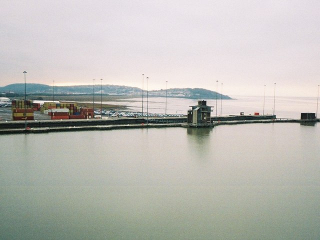
Avonmouth is a port and outer suburb of Bristol, England, facing two rivers: the reinforced north bank of the final stage of the Avon which rises at sources...
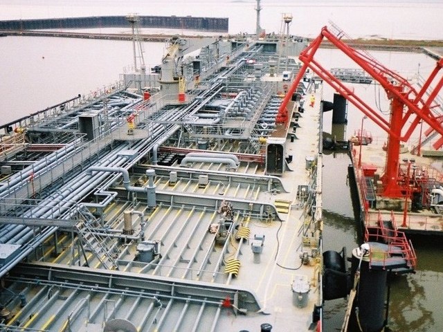
Port of Bristol

The Port of Bristol comprises the commercial, and former commercial, docks situated in and near the city of Bristol in England. The Port of Bristol Authority...

Nearby Amenities

Located within 500m of 51.497391,-2.708741
Railway: level_crossing
Lat/Long: 51.4939132/-2.7063617
Seamark Light Character: Fl
Seamark Light Colour: red
Seamark Light Height: 9
Seamark Light Period: 3
Seamark Light Range: 3
Seamark Light Reference: A 5507
Seamark Light Sequence: 0.5+(2.5)
Seamark Name: Nelson Point
Seamark Type: light_minor
Source: US NGA Pub. 114. 2011-05-26.
Lat/Long: 51.4975833/-2.7083667
Seamark Information: Visible 158° -305° .Synchronized with front.
Seamark Light Category: rear
Seamark Light Character: Oc
Seamark Light Colour: green
Seamark Light Height: 9
Seamark Light Period: 5
Seamark Light Reference: A 5505.1
Seamark Light Sequence: 4+(1)
Seamark Light Visibility: part_obscured
Seamark Type: light_minor
Source: US NGA Pub. 114. 2011-05-26.
Lat/Long: 51.4956167/-2.7110333
Seamark Information: Visible 158° -305°
Seamark Light Category: front
Seamark Light Character: Oc
Seamark Light Colour: green
Seamark Light Height: 6
Seamark Light Period: 5
Seamark Light Reference: A 5505
Seamark Light Sequence: 4+(1)
Seamark Light Visibility: part_obscured
Seamark Type: light_minor
Source: US NGA Pub. 114. 2011-05-26.
Lat/Long: 51.4961167/-2.7111296
Seamark Information: Visible 048° -138°
Seamark Light Category: upper
Seamark Light Character: F
Seamark Light Colour: red
Seamark Light Height: 17
Seamark Light Range: 3
Seamark Light Reference: A 5501.1
Seamark Light Visibility: part_obscured
Seamark Type: light_minor
Source: US NGA Pub. 114. 2011-05-26.
Lat/Long: 51.5012333/-2.70905
Seamark Information: Visible 010° -160°
Seamark Light Category: lower
Seamark Light Character: F
Seamark Light Colour: red
Seamark Light Height: 7
Seamark Light Range: 3
Seamark Light Reference: A 5501
Seamark Light Visibility: part_obscured
Seamark Type: light_minor
Source: US NGA Pub. 114. 2011-05-26.
Lat/Long: 51.5016057/-2.7098532
Railway: switch
Lat/Long: 51.4959504/-2.7108186
Railway: switch
Lat/Long: 51.4960387/-2.7111887
Give Way
Direction: forward
Lat/Long: 51.494186/-2.7126819
The Mouth of the River Avon
Board Type: nature
Information: board
Tourism: information
Lat/Long: 51.4938691/-2.7049468
Bench
Backrest: yes
Colour: black
Material: wood
Seats: 1
Lat/Long: 51.4938444/-2.7050044
Direction: NW
Tourism: viewpoint
Lat/Long: 51.4938549/-2.7049917
Portbury Dock
Railway: yard
Lat/Long: 51.4988577/-2.7152733
Avonmouth Pier
Historic Railway: station
Railway: site
Lat/Long: 51.5015231/-2.7082262
Seamark Light Colour: green
Seamark Type: light_minor
Lat/Long: 51.4996389/-2.7056389
Seamark Light Colour: red
Seamark Type: light_minor
Lat/Long: 51.4998889/-2.7053333
Stop
Direction: backward
Lat/Long: 51.49475/-2.7099897
The data included in this document is from www.openstreetmap.org. The data is made available under ODbL.

Have you been to Nelson Point?

Leave your review of Nelson Point below (or comments, questions and feedback).