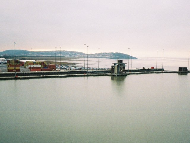
The Royal Portbury Dock
Lake, Pool, Pond, Freshwater Marsh in Somerset
England
The Royal Portbury Dock
The Royal Portbury Dock is an expansive freshwater dock located in Somerset, England. It is situated near the village of Portbury and covers an area of about 1,200 acres. The dock was originally constructed in the 1970s to accommodate the growing demands of Bristol's shipping industry.
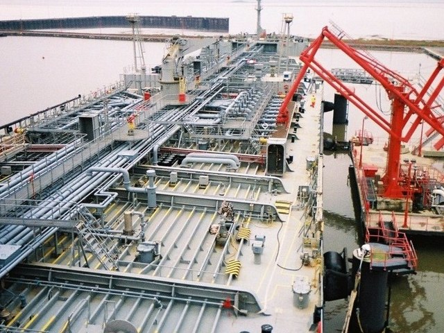
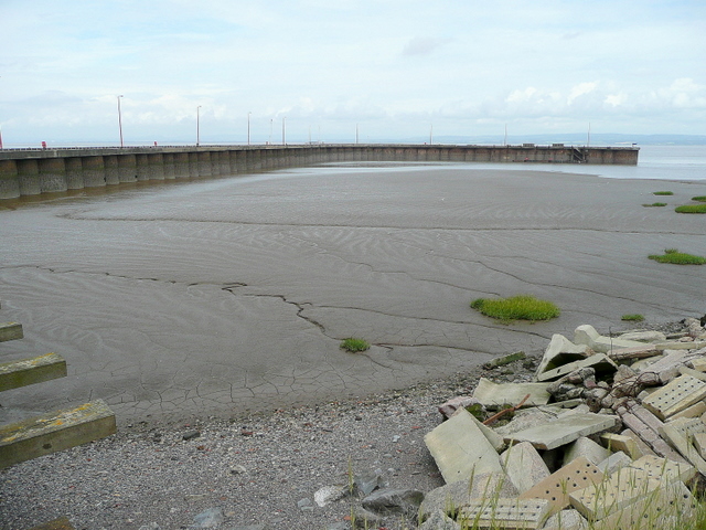
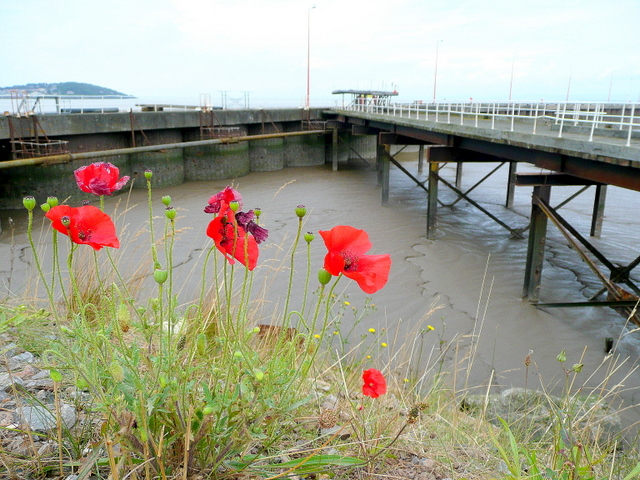
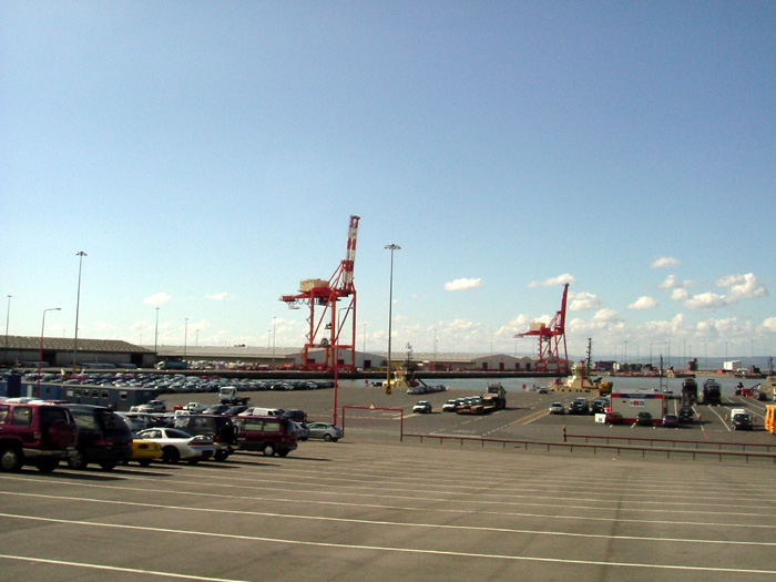
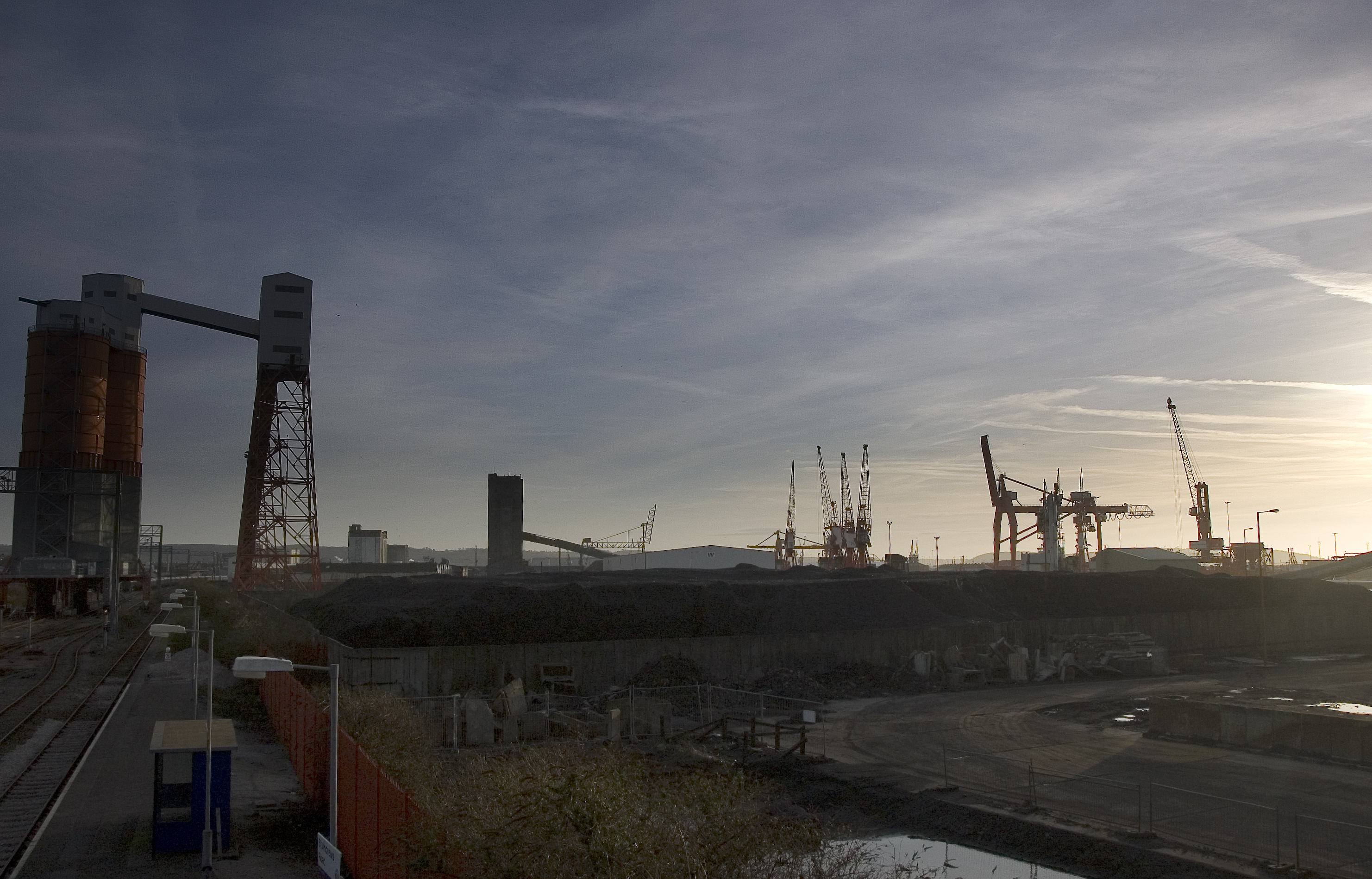
The dock is connected to the Bristol Channel via the Avonmouth Docks and serves as an important transportation hub for various goods and commodities. It primarily handles bulk cargo, including coal, wood, and grain, as well as containers and automobiles. Vessels of various sizes can access the dock through its entrance lock, which ensures a controlled water level within the facility.
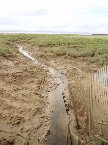
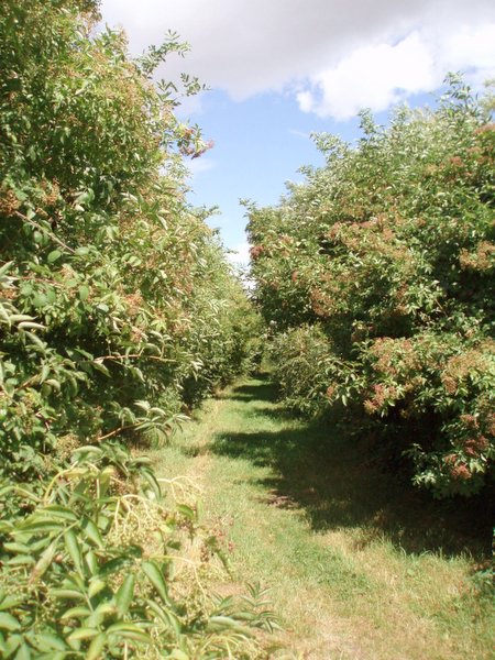
The Royal Portbury Dock is surrounded by a diverse range of natural features, including a man-made lake, pool, pond, and freshwater marsh. These water bodies not only enhance the aesthetic appeal of the dock but also provide a habitat for numerous species of plants and wildlife. The freshwater marsh, in particular, serves as a crucial breeding ground for various waterfowl, such as ducks and swans.
The dock is also equipped with state-of-the-art facilities to ensure smooth operations. It has a network of rail tracks and road connections to facilitate the transportation of cargo to and from the dock. Additionally, it boasts extensive storage facilities, including warehouses and open storage yards.
Overall, the Royal Portbury Dock is a vital component of the region's economy, serving as a key link in the global supply chain while coexisting harmoniously with its natural surroundings.
If you have any feedback on the listing, please let us know in the comments section below.
The Royal Portbury Dock Images
Images are sourced within 2km of 51.495306/-2.7203911 or Grid Reference ST5077. Thanks to Geograph Open Source API. All images are credited.


The Royal Portbury Dock is located at Grid Ref: ST5077 (Lat: 51.495306, Lng: -2.7203911)
Unitary Authority: North Somerset
Police Authority: Avon and Somerset
What 3 Words
///welfare.canal.formation. Near Easton-in-Gordano, Somerset
Nearby Locations
Related Wikis
Royal Portbury Dock
The Royal Portbury Dock is part of the Port of Bristol, in England. It is situated near the village of Portbury on the southern side of the mouth of the...

Port of Bristol
The Port of Bristol comprises the commercial, and former commercial, docks situated in and near the city of Bristol in England. The Port of Bristol Authority...

Avonmouth Docks railway station
Avonmouth Docks railway station was in the Avonmouth district of Bristol. It was opened by the Great Western Railway on 9 May 1910 as a terminus for trains...
Avonmouth Docks
The Avonmouth Docks are part of the Port of Bristol, in England. They are situated on the northern side of the mouth of the River Avon, opposite the Royal...
Nearby Amenities
Located within 500m of 51.495306,-2.7203911Have you been to The Royal Portbury Dock?
Leave your review of The Royal Portbury Dock below (or comments, questions and feedback).