Snook Head

Coastal Marsh, Saltings in Fife

Scotland

Snook Head

Broughty Castle
Broughty Castle Credit: Mark Anderson

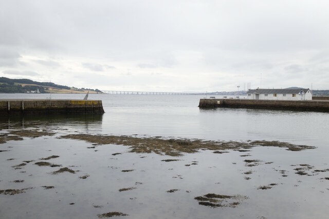
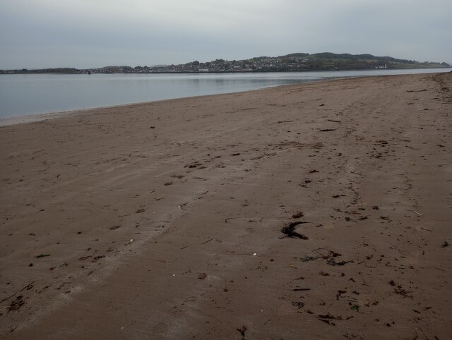
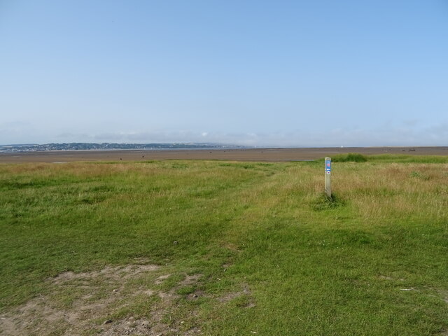
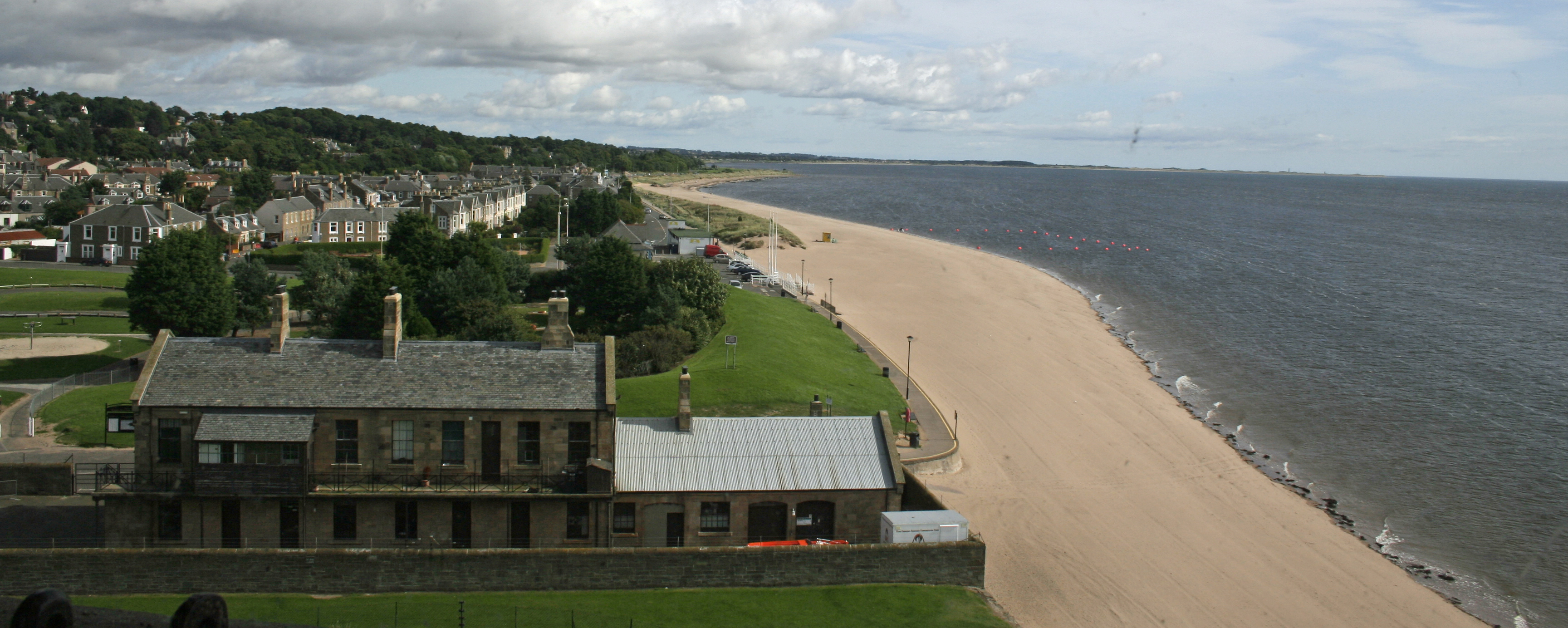
Snook Head is a coastal marsh located in Fife, Scotland. It is situated in close proximity to the village of Leven, overlooking the Firth of Forth. The area is known for its scenic beauty and diverse ecosystem, making it a popular destination for nature enthusiasts and bird watchers.

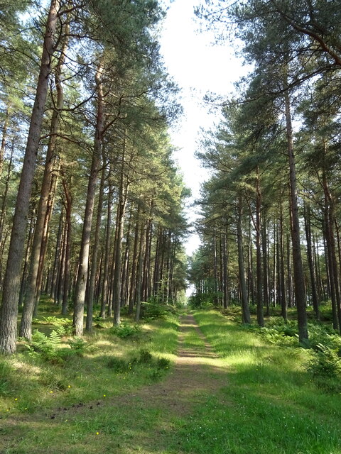
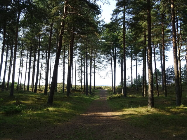
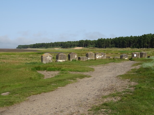
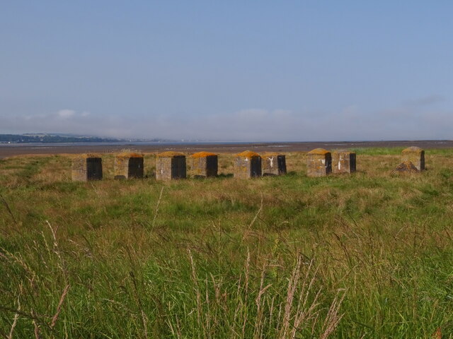
The marshland at Snook Head is characterized by its saltmarshes and saltings, which are influenced by the nearby tidal waters. These tidal flats are rich in nutrients, attracting a wide variety of bird species. It is particularly renowned as a haven for migratory birds, with many species using it as a stopover site during their long journeys.

The area is home to an array of birdlife, including wading birds, ducks, geese, and swans. Visitors can spot species such as curlews, redshanks, oystercatchers, and various types of gulls. The marshes also support a diverse range of plant life, including samphire, sea lavender, and saltmarsh grasses.

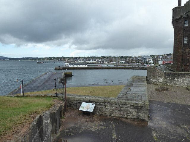
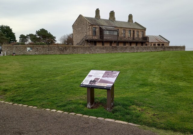
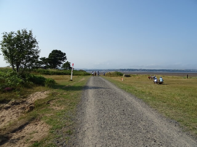
Snook Head offers stunning views of the surrounding landscape, with the Firth of Forth providing a picturesque backdrop. The marshland is accessible via footpaths and provides opportunities for leisurely walks and birdwatching. The site is well-maintained, with information boards providing details about the local wildlife and ecosystem.

As a protected area, Snook Head is an important habitat for numerous bird species and contributes to the conservation efforts in the region. Its unique coastal environment and abundant wildlife make it a must-visit location for anyone interested in experiencing the beauty of Scotland's natural landscapes.

If you have any feedback on the listing, please let us know in the comments section below.
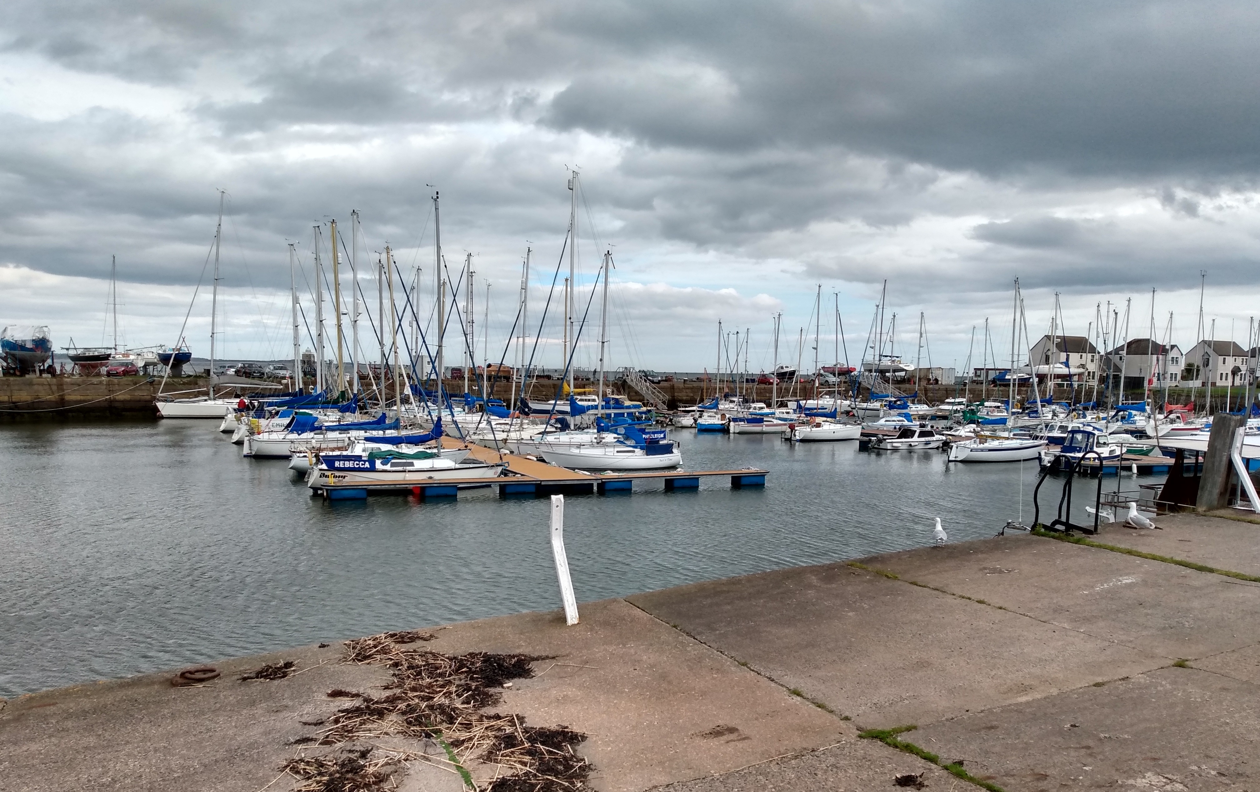
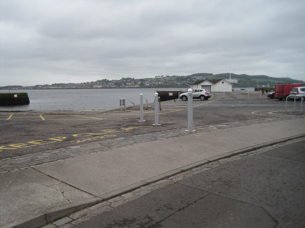
Snook Head Images

Images are sourced within 2km of 56.446052/-2.8696509 or Grid Reference NO4628. Thanks to Geograph Open Source API. All images are credited.

Broughty Castle
Broughty Castle
Harbour, Broughty Ferry
Broughty Castle 15th Century, now housing a local museum.
Broughty Castle
15th Century, now housing a local museum.
The Harbour at Broughty Ferry Seen from the Castle.
The Harbour at Broughty Ferry
Seen from the Castle.
The Keep at Broughty Castle 15th Century, now housing a local museum.
The Keep at Broughty Castle
15th Century, now housing a local museum.
Gateway to Broughty Castle 15th Century, now housing a local museum. Looking out to the Harbour.
Gateway to Broughty Castle
15th Century, now housing a local museum. Looking out to the Harbour.
Dundee hire bike Hire scheme operated by the Dundee Cycle Hub. Seen outside Broughty Castle.
Dundee hire bike
Hire scheme operated by the Dundee Cycle Hub. Seen outside Broughty Castle.
Sandy beach: Broughty Ferry With view to Tayport
Sandy beach: Broughty Ferry
With view to Tayport
Former Submarine Miners' Depot This building forms the remaining part of the depot constructed for the Tay Division Submarine Miners RE (Volunteers), raised on 17 March 1888.
Former Submarine Miners' Depot
This building forms the remaining part of the depot constructed for the Tay Division Submarine Miners RE (Volunteers), raised on 17 March 1888.
Broughty Castle, east of Dundee The castle appears out of the mist and fog shrouding the Tay estuary this morning. The old harbour train tracks have been imaginatively and importantly retained.
Broughty Castle, east of Dundee
The castle appears out of the mist and fog shrouding the Tay estuary this morning. The old harbour train tracks have been imaginatively and importantly retained.
View from Broughty Castle
National Cycle Route 1, Tentsmuir Forest
Track into Tentsmuir Forest
Track towards coast Tentsmuir Forest
National Cycle Route 1 towards Lundin Bridge
Wartime defences near Lundin Bridge
National Cycle Route 1 marker near Lundin Bridge
Anti-tank defences on the shores of the Firth of Tay
Show me another place!

Snook Head is located at Grid Ref: NO4628 (Lat: 56.446052, Lng: -2.8696509)

Unitary Authority: Fife

Police Authority: Fife

What 3 Words

///chef.plant.transcribes. Near Tayport, Fife

Related Wikis

Tayport F.C.

Tayport Football Club are a Scottish football club from Tayport, Fife. Formed in 1947, they play their home games at The Canniepairt. Nicknamed the Port...

Tayport

Tayport, also known as Ferry-Port on Craig, is a town and burgh, and parish, in the county of Fife, Scotland, acting as a commuter town for Dundee. The...

Tayport railway station

Tayport railway station served the town of Tayport, Fife, Scotland from 1848 to 1967 on the Newport Railway. == History == The station opened on 17 May...
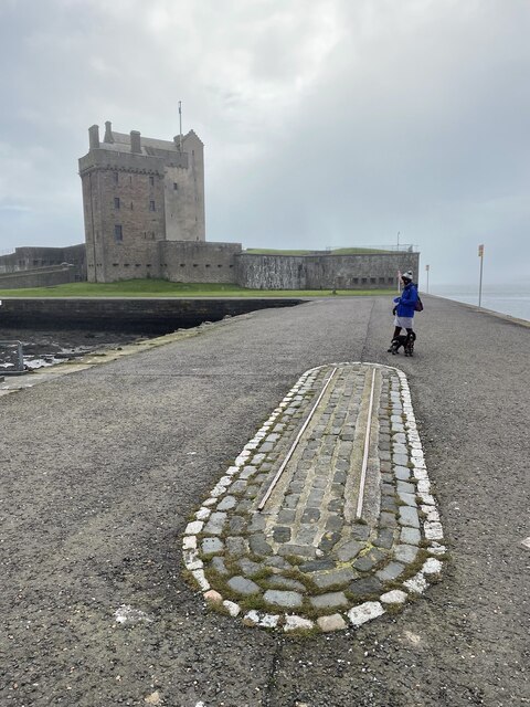
Tayport Castle

Tayport Castle, was a Z plan castle that was located near Tayport, Fife, Scotland. The castle was demolished in the 19th century and no remains above ground...
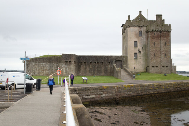
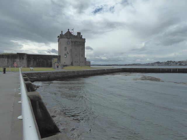
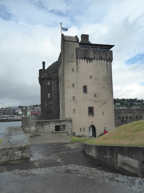
Broughty Castle

Broughty Castle is a historic castle on the banks of the River Tay in Broughty Ferry, Dundee, Scotland. It was completed around 1495, although the site...

Broughty Ferry Pier railway station

Broughty Ferry Pier railway station served the suburb of Broughty Ferry, Dundee, Scotland from 1848 to 1887 on the Dundee and Arbroath Railway. == History... ==
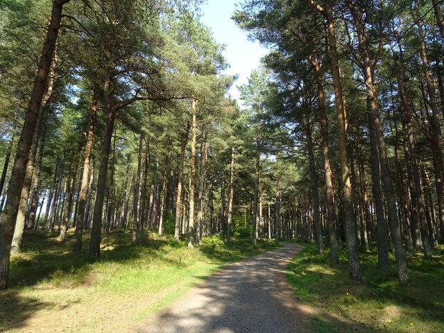
Morton Lochs

Morton Lochs is part of Tentsmuir National Nature Reserve located near Tayport, in the north east of Fife, Scotland. It consists of three small lochs important...

Broughty Ferry

Broughty Ferry (; Scottish Gaelic: Bruach Tatha; Scots: Brochtie) is a suburb of Dundee, Scotland. It is situated four miles east of the city centre on...

Nearby Amenities

Located within 500m of 56.446052,-2.8696509
Fast Food
New Shanghai Take Away
Lat/Long: 56.4445043/-2.8761531
Bench
Backrest: no
Material: wood
Source: knowledge
Lat/Long: 56.445556/-2.8729381
Bench
Backrest: no
Material: wood
Source: knowledge
Lat/Long: 56.4465382/-2.872289
Bench
Backrest: yes
Colour: black
Material: metal
Source: knowledge
Lat/Long: 56.4466775/-2.8726591
Bench
Backrest: yes
Colour: black
Material: metal
Source: knowledge
Lat/Long: 56.4469844/-2.8740767
Bench
Backrest: yes
Colour: black
Material: metal
Source: knowledge
Lat/Long: 56.4468117/-2.8733377
Bench
Backrest: no
Material: wood
Source: knowledge
Lat/Long: 56.4467353/-2.873506
Co-op Food
Brand: Co-op Food
Brand Wikidata: Q3277439
Brand Wikipedia: en:Co-op Food
Operator: The Co-operative Group
Operator Wikidata: Q117202
Shop: convenience
Website: https://www.coop.co.uk/store-finder/DD6-9DR/24-nelson-street
Lat/Long: 56.4453061/-2.8768343
Post Box
Collection Times: Mo-Fr 09:00; Sa 07:00
Operator: Royal Mail
Post Box Type: wall
Ref: DD6 150D
Royal Cypher: EVIIR
Royal Cypher Wikidata: Q33102324
Lat/Long: 56.4439707/-2.8741975
Bus Stop
Bench: no
Bus: yes
Public Transport: platform
Shelter: no
Lat/Long: 56.4432361/-2.872847
Bus Stop
Bench: yes
Bin: yes
Bus: yes
Public Transport: platform
Shelter: yes
Lat/Long: 56.4453109/-2.8769736
Cafe
Larick Café
Addr City: Tayport
Addr Housename: Larick Centre
Addr Postcode: DD6 9EA
Addr Street: Shanwell Road
Internet Access: wlan
Internet Access Fee: customers
Phone: +44 1382 549729
Website: https://tayportct.org.uk/communityhub/larickcafe/
Lat/Long: 56.4418186/-2.8714534
Generator Method: photovoltaic
Generator Output Electricity: yes
Generator Source: solar
Generator Type: solar_photovoltaic_panel
Power: generator
Lat/Long: 56.4470986/-2.8749924
Traffic Calming: cushion
Lat/Long: 56.4429645/-2.8745725
Traffic Calming: cushion
Lat/Long: 56.4421768/-2.8726602
Entrance: yes
Lat/Long: 56.4419664/-2.8713457
The data included in this document is from www.openstreetmap.org. The data is made available under ODbL.

Have you been to Snook Head?

Leave your review of Snook Head below (or comments, questions and feedback).