Tom's Hole
Coastal Marsh, Saltings in Fife
Scotland
Tom's Hole

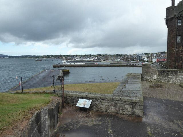
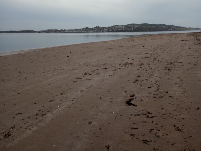
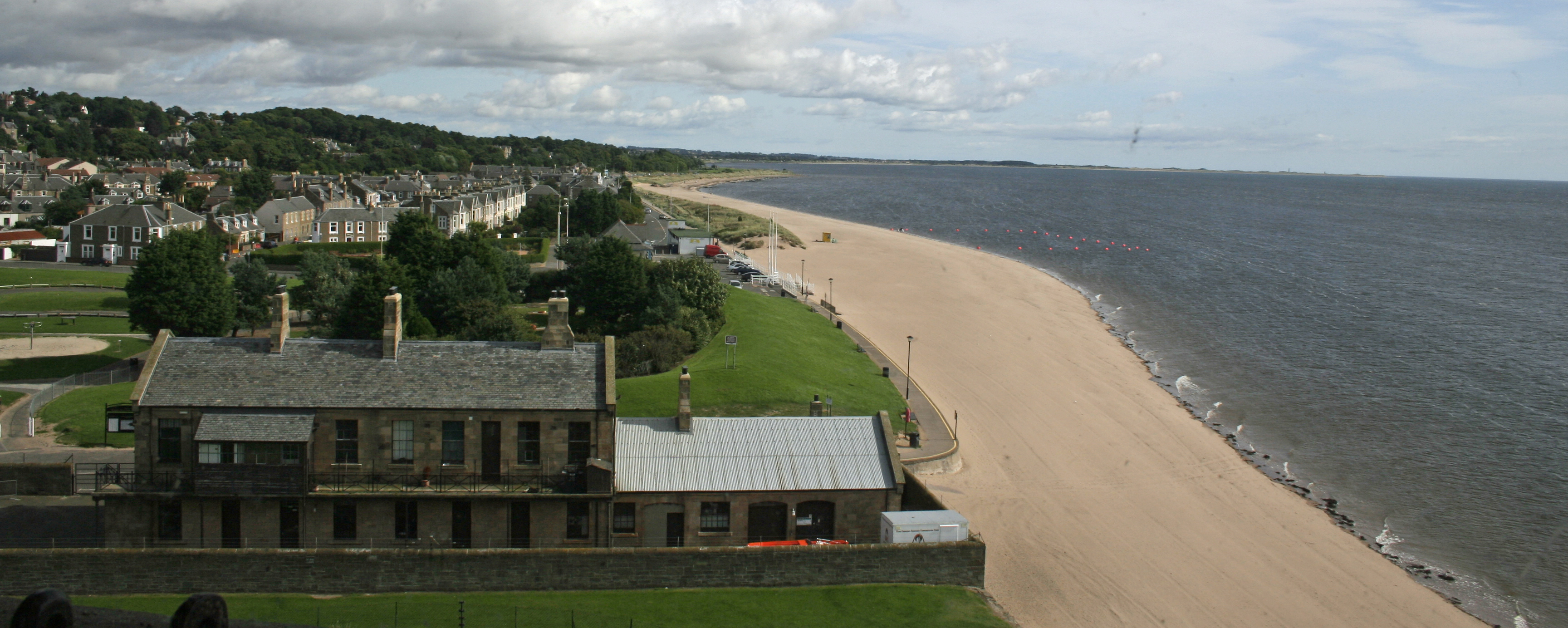
Tom's Hole is a picturesque coastal marsh and saltings located in Fife, Scotland. Situated along the eastern coast of the country, this natural site encompasses an area of approximately 50 acres. It is known for its rich biodiversity, stunning views, and unique geological features.
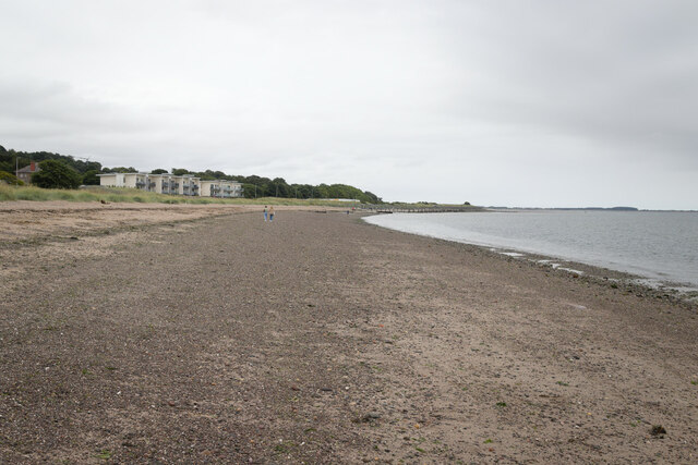
The marshland is characterized by its lush vegetation, including reeds, grasses, and various types of wildflowers. This diverse habitat provides a sanctuary for numerous bird species, making it a popular destination for birdwatchers and nature enthusiasts. The area is particularly renowned for its large population of wading birds, such as curlews, redshanks, and oystercatchers.
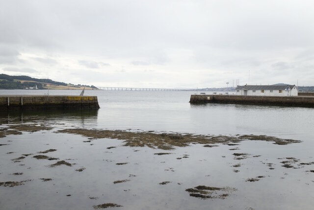
Tom's Hole's coastal location also contributes to its ecological significance. The saltings, or coastal salt marshes, are formed by the deposition of salt-tolerant plants that thrive in the intertidal zone. These marshes act as a buffer, protecting the land from erosion and providing an important habitat for a variety of marine organisms.
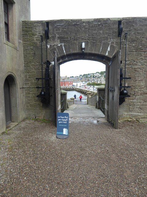
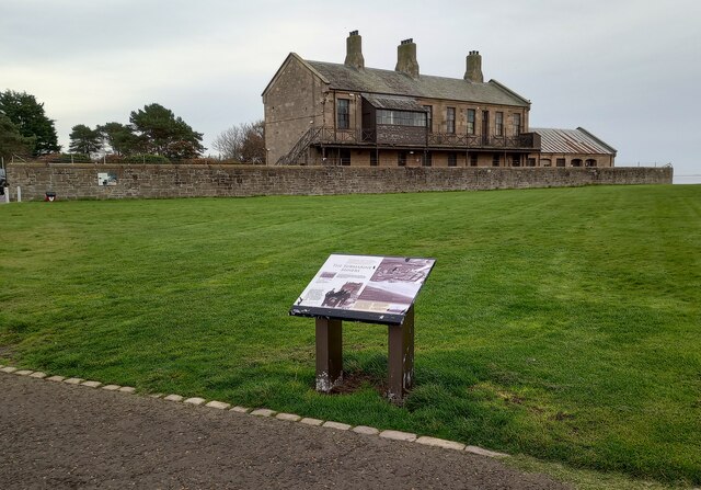
Visitors to Tom's Hole can explore the area via designated footpaths and enjoy breathtaking views of the surrounding coastline. The site also offers opportunities for recreational activities such as birdwatching, photography, and nature walks. Additionally, there are information boards placed strategically throughout the marshland, providing educational insights into the local flora, fauna, and geological formations.
In summary, Tom's Hole in Fife is a captivating coastal marsh and saltings that offers a diverse range of flora and fauna. Its unique ecosystem and scenic beauty make it a must-visit destination for nature lovers and those seeking to immerse themselves in Scotland's natural wonders.
If you have any feedback on the listing, please let us know in the comments section below.
Tom's Hole Images
Images are sourced within 2km of 56.449831/-2.8636536 or Grid Reference NO4628. Thanks to Geograph Open Source API. All images are credited.


Tom's Hole is located at Grid Ref: NO4628 (Lat: 56.449831, Lng: -2.8636536)
Unitary Authority: Fife
Police Authority: Fife
What 3 Words
///grape.hotels.squashes. Near Tayport, Fife
Nearby Locations
Related Wikis

Tayport F.C.
Tayport Football Club are a Scottish football club from Tayport, Fife. Formed in 1947, they play their home games at The Canniepairt. Nicknamed the Port...
Tayport
Tayport, also known as Ferry-Port on Craig, is a town and burgh, and parish, in the county of Fife, Scotland, acting as a commuter town for Dundee. The...

Tayport railway station
Tayport railway station served the town of Tayport, Fife, Scotland from 1848 to 1967 on the Newport Railway. == History == The station opened on 17 May...

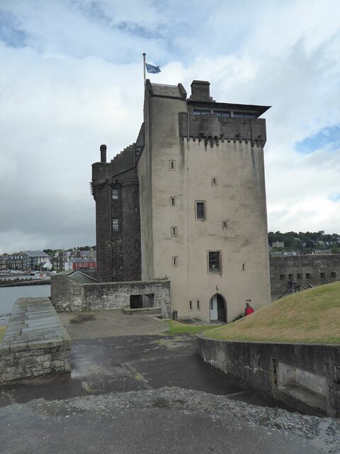
Tayport Castle
Tayport Castle, was a Z plan castle that was located near Tayport, Fife, Scotland. The castle was demolished in the 19th century and no remains above ground...
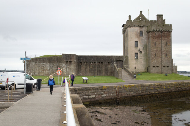
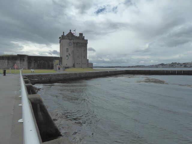
Broughty Castle
Broughty Castle is a historic castle on the banks of the River Tay in Broughty Ferry, Dundee, Scotland. It was completed around 1495, although the site...
Broughty Ferry Pier railway station
Broughty Ferry Pier railway station served the suburb of Broughty Ferry, Dundee, Scotland from 1848 to 1887 on the Dundee and Arbroath Railway. == History... ==
Broughty Ferry
Broughty Ferry (; Scottish Gaelic: Bruach Tatha; Scots: Brochtie) is a suburb of Dundee, Scotland. It is situated four miles east of the city centre on...

Broughty Ferry railway station
Broughty Ferry railway station is a railway station serving the suburb of Broughty Ferry in Dundee, Scotland. It is sited 3 miles 38 chains (5.6 km) from...
Nearby Amenities
Located within 500m of 56.449831,-2.8636536Have you been to Tom's Hole?
Leave your review of Tom's Hole below (or comments, questions and feedback).