Champernhayes Marsh
Coastal Marsh, Saltings in Dorset
England
Champernhayes Marsh
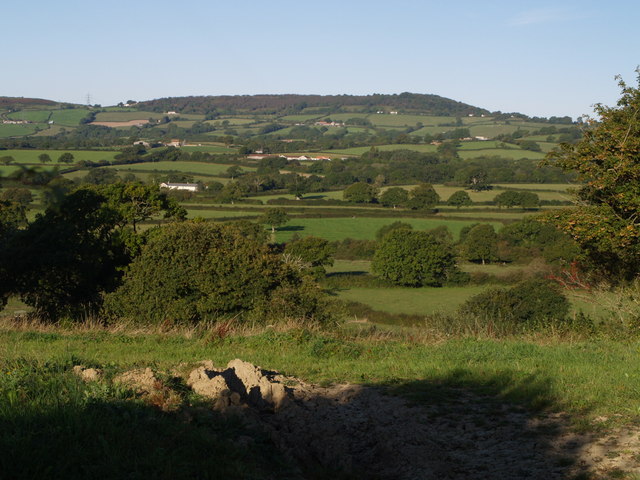
Champernhayes Marsh is a coastal marsh located in Dorset, England. It is situated within the larger area known as the Fleet Nature Reserve, which is a designated Site of Special Scientific Interest. The marsh is characterized by its unique landscape of saltwater creeks, mudflats, and salt marsh grasses.
The marsh is an important habitat for a variety of plant and animal species. It provides a vital breeding ground for wading birds such as curlews, redshanks, and oystercatchers. These birds rely on the rich mudflats for feeding on small invertebrates. The salt marsh grasses, including sea lavender and sea aster, provide cover and nesting sites for many bird species.
The marsh is also home to a diverse range of plant species, some of which are rare or endangered. The salt-tolerant plants that thrive in this environment include sea purslane, glasswort, and sea aster. These plants have adapted to the high salt content in the soil and are able to withstand regular flooding from the tides.
Champernhayes Marsh is an important site for conservation and is managed by the Fleet and Chesil Beaches Nature Reserve. The reserve works to protect and enhance the natural habitats of the marsh, ensuring the continued survival of its unique plant and animal species.
Visitors to Champernhayes Marsh can enjoy walks along designated footpaths that offer stunning views of the surrounding landscape. It is a peaceful and tranquil area, perfect for birdwatching and nature enthusiasts.
If you have any feedback on the listing, please let us know in the comments section below.
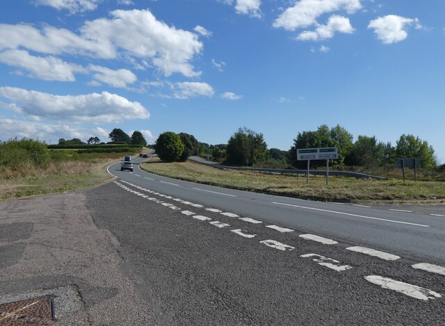
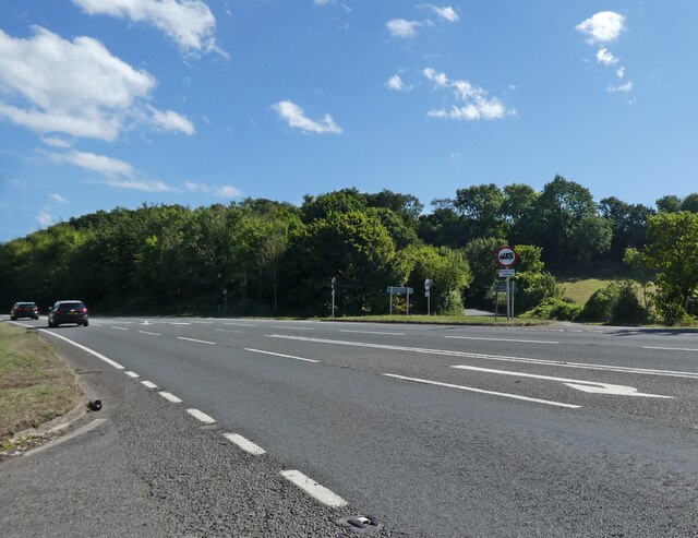
Champernhayes Marsh Images
Images are sourced within 2km of 50.768171/-2.9222234 or Grid Reference SY3596. Thanks to Geograph Open Source API. All images are credited.


Champernhayes Marsh is located at Grid Ref: SY3596 (Lat: 50.768171, Lng: -2.9222234)
Unitary Authority: Dorset
Police Authority: Dorset
What 3 Words
///mostly.withdraws.nervy. Near Charmouth, Dorset
Related Wikis
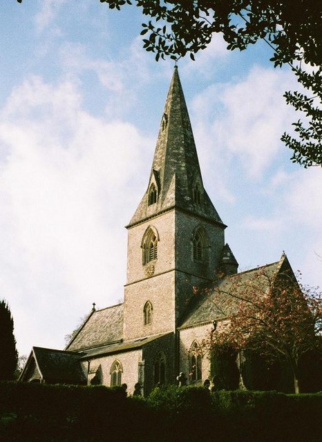
St Andrew's Church, Monkton Wyld
St Andrew's Church is a Church of England church in Monkton Wyld, Dorset, England. It was built in 1848–49 to the designs of Richard Cromwell Carpenter...

St John's Church, Fishpond Bottom
St John's Church is a Church of England church in Fishpond Bottom, Dorset, England. It was built in 1852 and has been a Grade II listed building since...

Coney's Castle
Coney's Castle is an Iron Age hillfort in Dorset, England. The name Coney is from the Old English for rabbit (Latin cuniculus), suggesting medieval use...

Wootton Fitzpaine
Wootton Fitzpaine is a village and civil parish in the county of Dorset in South West England. It lies approximately 3 miles (4.8 km) north-east of Lyme...

Lambert's Castle
Lambert's Castle is an Iron Age hillfort in the county of Dorset in southwest England. Since 1981 it has been designated as a Site of Special Scientific...
Lambert's Castle Hill
Lambert's Castle Hill (258 metres, 846 feet high) rises between the villages of Marshwood and Fishpond Bottom in the county of Dorset, England. It is...

Catherston Leweston
Catherston Leweston is a small village and civil parish in the county of Dorset in southwest England. It lies approximately 2 miles (3.2 km) northeast...

St Mary's Church, Catherston Leweston
St Mary's Church is a Church of England parish church in Catherston Leweston, Dorset, England. It was designed by John Loughborough Pearson and built in...
Related Videos
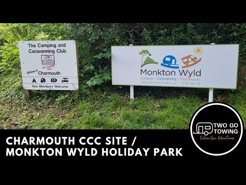
Charmouth Camping and Caravanning Club Site
This video shows arrival at Charmouth Camping and Caravan Club Site (also known as Monkton Wyld Holiday Park) located off ...
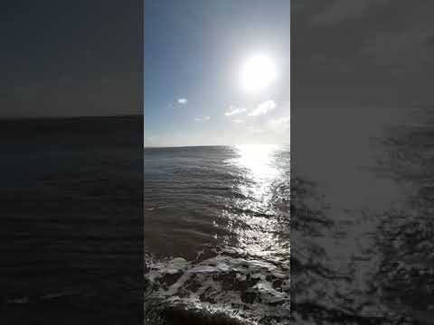
Having a coastal walk with the dogs, so beautiful.
Check out our dog friendly detached studio with fenced garden ...
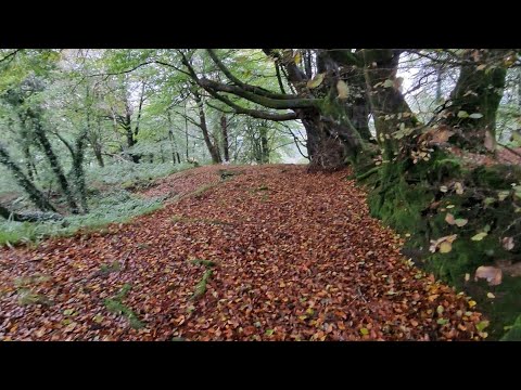
Autumn 🍁 Walks with our 3 dogs near our Bed and Breakfast - www.netherleigh.co.uk #walking #dogs
Video from NETHERLEIGH.CO.UK.
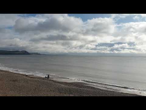
Lyme Regis at 10.30 on 25th Feb 2020
Beaaaaauuutttifullllll !! Come & stay with us a @ www.netherleigh.co.uk #travel #dogfriendly #dogs #coastal #coastalwalks ...
Nearby Amenities
Located within 500m of 50.768171,-2.9222234Have you been to Champernhayes Marsh?
Leave your review of Champernhayes Marsh below (or comments, questions and feedback).