Bernard Wharf
Coastal Marsh, Saltings in Lancashire Wyre
England
Bernard Wharf
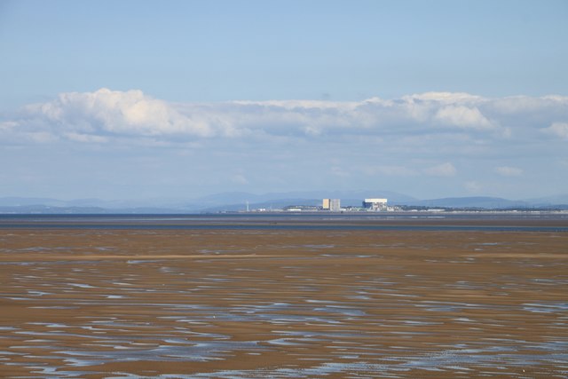
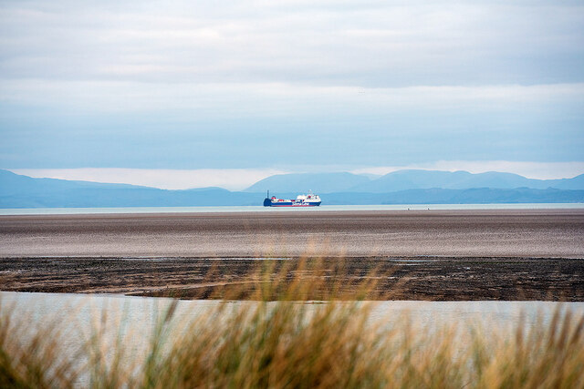
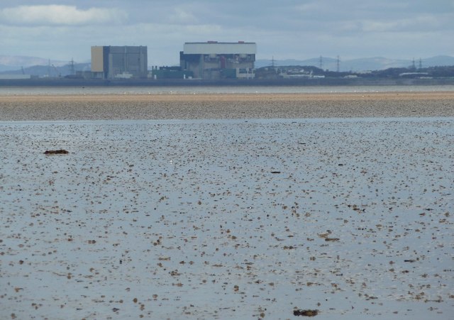
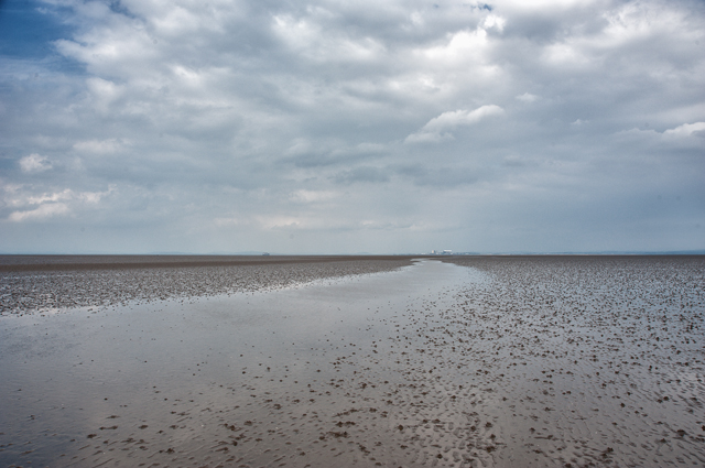
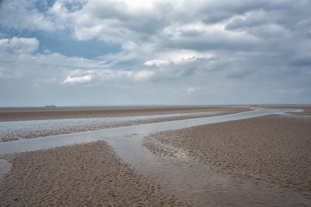
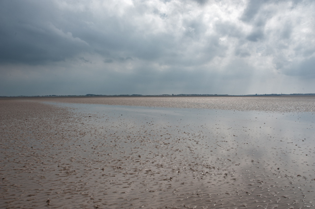
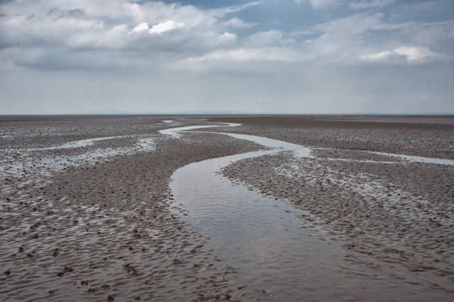
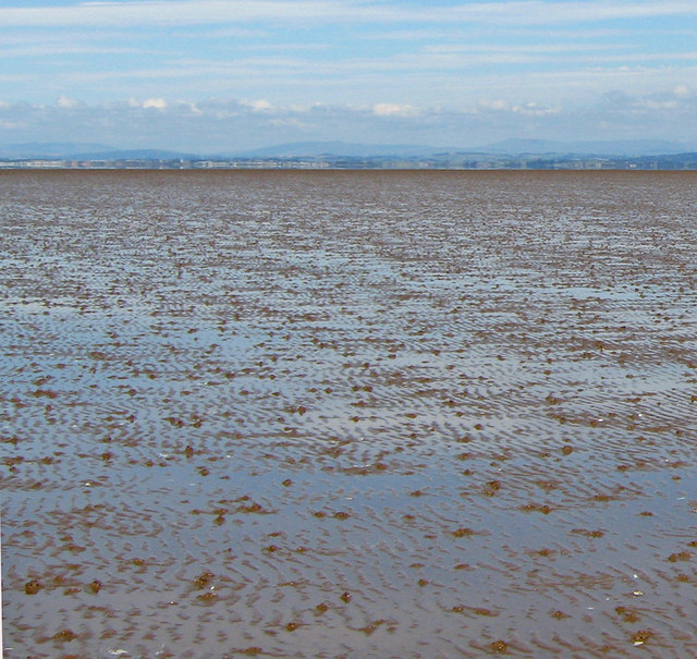
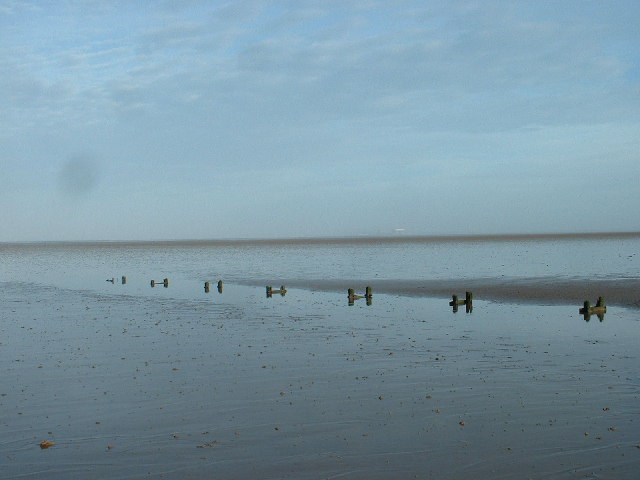
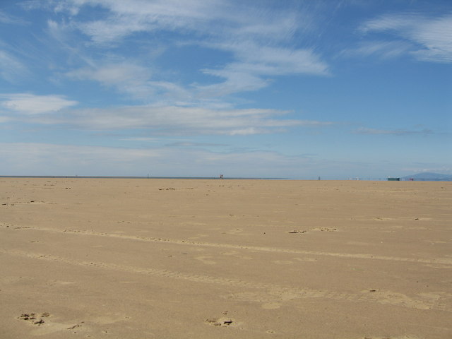
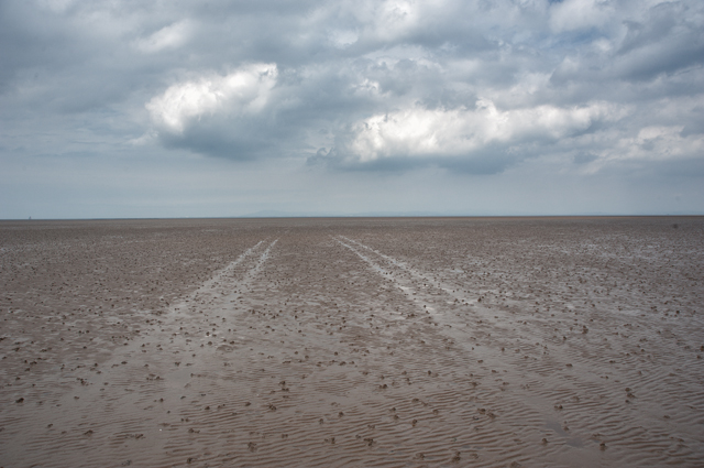
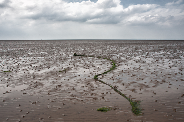
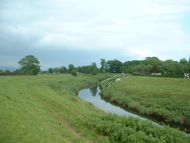
Bernard Wharf is a picturesque coastal marshland located in the region of Lancashire, England. Situated on the banks of the River Wyre, it encompasses a vast expanse of saltings, which are areas of marshy land regularly flooded by tidal waters.
The marshland at Bernard Wharf is a haven for a diverse range of flora and fauna, with its unique ecosystem supporting a wide variety of plant and animal species. The area is particularly renowned for its abundance of salt-tolerant plants, such as sea lavender and sea aster, which thrive in the brackish conditions.
The marshland also serves as an important feeding and breeding ground for numerous bird species, including waders like curlews, oystercatchers, and redshanks. Birdwatchers flock to Bernard Wharf to catch a glimpse of these magnificent creatures in their natural habitat.
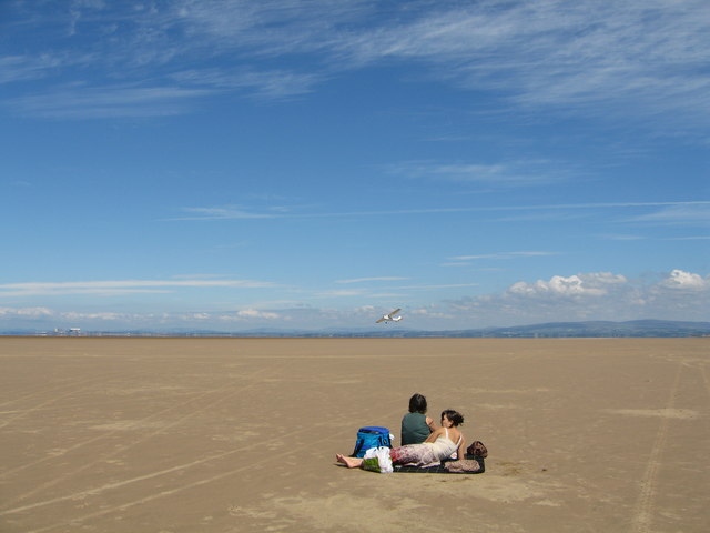
Visitors to Bernard Wharf can explore the marshland via a network of winding footpaths that offer stunning views of the surrounding landscape. The area is a popular spot for nature enthusiasts, walkers, and photographers seeking to capture the beauty of the salt marshes.
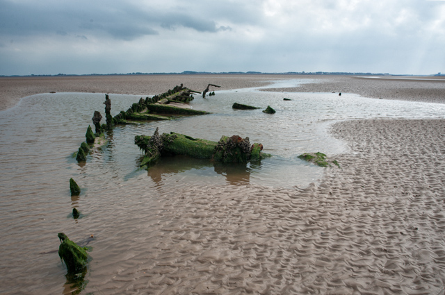
In addition to its natural beauty, Bernard Wharf also holds historical significance. It has been a site of human activity for centuries, with evidence of Roman settlements and Viking trade routes discovered in the vicinity. The wharf itself was once a bustling hub for shipping and trade, playing a crucial role in the region's industrial past.
Today, Bernard Wharf remains a cherished destination for both locals and tourists alike, offering a serene escape into the tranquility of nature's wonders.
If you have any feedback on the listing, please let us know in the comments section below.
Bernard Wharf Images
Images are sourced within 2km of 53.95152/-2.9916193 or Grid Reference SD3551. Thanks to Geograph Open Source API. All images are credited.
Bernard Wharf is located at Grid Ref: SD3551 (Lat: 53.95152, Lng: -2.9916193)
Administrative County: Lancashire
District: Wyre
Police Authority: Lancashire
What 3 Words
///trending.attention.rags. Near Fleetwood, Lancashire
Nearby Locations
Related Wikis

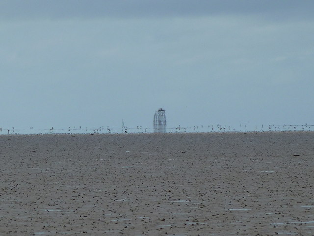
Wyre Light
The Wyre Light was a 40-foot (12 m) tall iron screw-pile lighthouse marking the navigation channel to the town of Fleetwood, Lancashire, England. ��2...
River Wyre
The River Wyre in Lancashire, England, flows into the Irish Sea at Fleetwood. It is 28 miles (45 km) long and has a sheltered estuary which penetrates...

Beach Lighthouse, Fleetwood
The Beach Lighthouse (also known as the Lower Light) is a 44-foot (13 m) tall sandstone lighthouse in Fleetwood, Lancashire, England. == History == The...

North Euston Hotel
The North Euston Hotel is a hotel in Fleetwood, Lancashire, England. It was built 1840–41, to a design by Decimus Burton. During the second half of the...
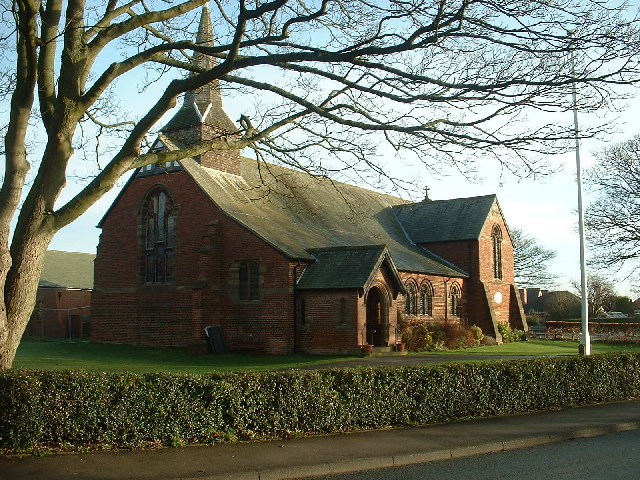
St Oswald's Church, Preesall
St Oswald's Church is an Anglican church in Preesall, a town on the Fylde coastal plain in Lancashire, England. It is an active parish church in the diocese...
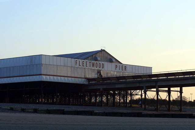
Fleetwood Pier
Fleetwood Pier, also known as the Victoria Pier, was a pleasure pier located in the English town of Fleetwood, Lancashire. At 492 feet (150 m) in length...

Knott End-on-Sea
Knott End-on-Sea is a village in Lancashire, England, on the southern side of Morecambe Bay, across the Wyre estuary from Fleetwood. Knott End has a pub...

Pharos Lighthouse, Fleetwood
The Pharos Lighthouse (also known as the Upper Lighthouse) is a 93-foot (28 m) tall Runcorn red sandstone lighthouse situated in Fleetwood, Lancashire...
Have you been to Bernard Wharf?
Leave your review of Bernard Wharf below (or comments, questions and feedback).