Sand Wall

Coastal Marsh, Saltings in Cumberland Carlisle

England

Sand Wall

Esk Boathouse This was the home of the ferryman who took passengers across the Solway until a bridge was built across the River Esk. Notice the <a href="https://www.geograph.org.uk/photo/7379272">NY3463 : Plaque with Poem</a> on the wall left of the door.
Esk Boathouse Credit: Anne Burgess

Sand Wall, Cumberland is a coastal marsh located in the region of Saltings. It is renowned for its mesmerizing beauty and unique ecological features. The marsh is situated along the Cumberland coast, providing a picturesque view of the surrounding landscape.

The main feature of Sand Wall is its expansive stretch of sandy dunes that act as a natural defense against coastal erosion. These dunes are formed by the accumulation of sand over time, shaped and stabilized by the coastal winds and tides. The dunes serve as a habitat for a variety of plant species, including marram grass and sea buckthorn, which play a crucial role in stabilizing the sand and preventing its erosion.

The marsh area is characterized by its diverse and rich biodiversity. It serves as a habitat for numerous bird species, such as the common redshank, dunlin, and little egret, making it a popular spot for birdwatching enthusiasts. The marsh also supports a range of marine life, including crabs, shellfish, and small fish, which attract larger predators like herons and gulls.

Sand Wall is not only a haven for wildlife but also a popular recreational destination for locals and tourists. Visitors can enjoy activities such as hiking, nature walks, and birdwatching while appreciating the stunning views of the Cumberland coast. The marsh also offers a serene and peaceful environment, perfect for those seeking solace amidst nature.

Overall, Sand Wall, Cumberland, with its sandy dunes, diverse wildlife, and recreational opportunities, is a remarkable coastal marsh that showcases the beauty and importance of preserving our natural ecosystems.

If you have any feedback on the listing, please let us know in the comments section below.
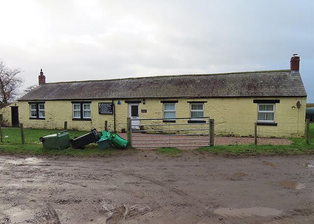
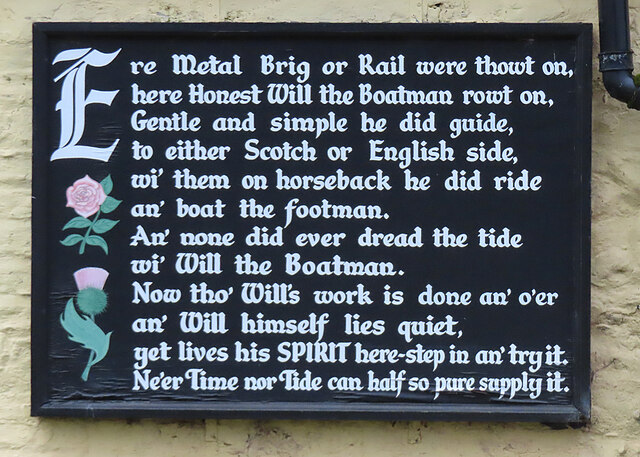
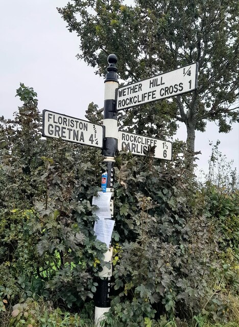
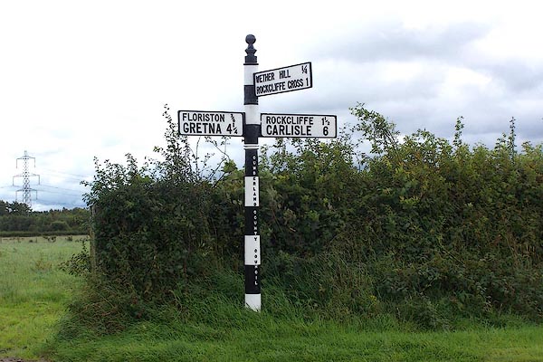
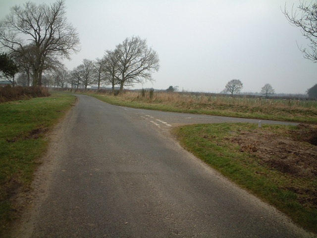
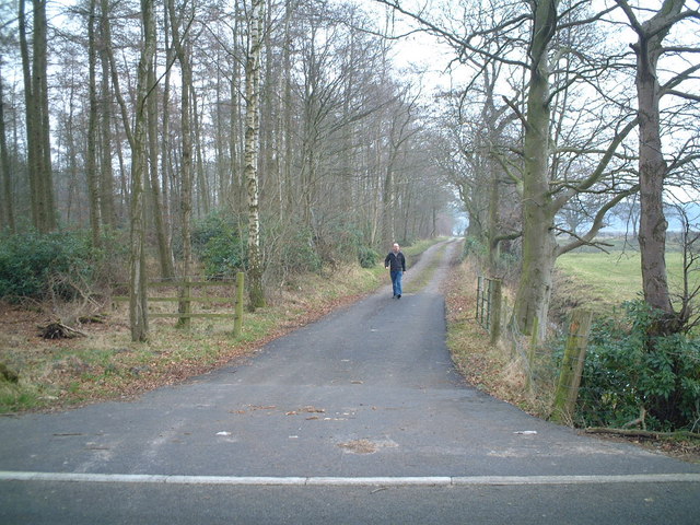
Sand Wall Images

Images are sourced within 2km of 54.947926/-3.0167197 or Grid Reference NY3461. Thanks to Geograph Open Source API. All images are credited.

Esk Boathouse This was the home of the ferryman who took passengers across the Solway until a bridge was built across the River Esk. Notice the <a href="https://www.geograph.org.uk/photo/7379272">NY3463 : Plaque with Poem</a> on the wall left of the door.
Esk Boathouse
This was the home of the ferryman who took passengers across the Solway until a bridge was built across the River Esk. Notice the NY3463 : Plaque with Poem on the wall left of the door.
Plaque with Poem This is displayed on the outside wall of <a href="https://www.geograph.org.uk/photo/7379270">NY3463 : Esk Boathouse</a>.
Plaque with Poem
This is displayed on the outside wall of NY3463 : Esk Boathouse.
Direction Sign - Signpost east of Wether Hill in Rockliffe parish Located on the east side of the junction east of Wether Hill in Rockcliffe parish. 3 arms and pawn finial. See also <span class="nowrap"><a title="http://www.geog.port.ac.uk/webmap/thelakes/photos/boa81.jpg" rel="nofollow ugc noopener" href="http://www.geog.port.ac.uk/webmap/thelakes/photos/boa81.jpg">Link</a><img style="margin-left:2px;" alt="External link" title="External link - shift click to open in new window" src="https://s1.geograph.org.uk/img/external.png" width="10" height="10"/></span> and <a title="https://www.geograph.org.uk/photo/5432653" href="https://www.geograph.org.uk/photo/5432653">Link</a>.

Milestone Society National ID: CU_NY3563
Direction Sign - Signpost east of Wether Hill in Rockliffe parish
Located on the east side of the junction east of Wether Hill in Rockcliffe parish. 3 arms and pawn finial. See also LinkExternal link and Link. Milestone Society National ID: CU_NY3563
Direction Sign – Signpost at Castletown House Located on the northwest side of the junction at Castletown House. Rockcliffe parish. 3 arms and annulus finial. See also <span class="nowrap"><a title="http://www.geog.port.ac.uk/webmap/thelakes/photos/bwt71.jpg" rel="nofollow ugc noopener" href="http://www.geog.port.ac.uk/webmap/thelakes/photos/bwt71.jpg">Link</a><img style="margin-left:2px;" alt="External link" title="External link - shift click to open in new window" src="https://s1.geograph.org.uk/img/external.png" width="10" height="10"/></span> and <a title="https://www.geograph.org.uk/photo/5432648" href="https://www.geograph.org.uk/photo/5432648">Link</a>.

Milestone Society National ID: CU_NY3562
Direction Sign – Signpost at Castletown House
Located on the northwest side of the junction at Castletown House. Rockcliffe parish. 3 arms and annulus finial. See also LinkExternal link and Link. Milestone Society National ID: CU_NY3562
Direction Sign – Signpost in Rockcliffe village Located on the east side of a junction in the northeast of the village. Rockcliffe parish. 3 arms and annulus finial. See also <span class="nowrap"><a title="http://www.geog.port.ac.uk/webmap/thelakes/photos/bwt67.jpg" rel="nofollow ugc noopener" href="http://www.geog.port.ac.uk/webmap/thelakes/photos/bwt67.jpg">Link</a><img style="margin-left:2px;" alt="External link" title="External link - shift click to open in new window" src="https://s1.geograph.org.uk/img/external.png" width="10" height="10"/></span>.

Milestone Society National ID: CU_NY3661B
Direction Sign – Signpost in Rockcliffe village
Located on the east side of a junction in the northeast of the village. Rockcliffe parish. 3 arms and annulus finial. See also LinkExternal link. Milestone Society National ID: CU_NY3661B
River Eden Rockcliffe Church can be seen in the distance.
River Eden
Rockcliffe Church can be seen in the distance.
Reservoir at Desmene A curious feature on this saltmarsh. The gridline 62 runs through the centre of the farmhouse.
Reservoir at Desmene
A curious feature on this saltmarsh. The gridline 62 runs through the centre of the farmhouse.
Sandbank in River Eden This feature is stable enough to appear on OS maps.
Sandbank in River Eden
This feature is stable enough to appear on OS maps.
Turned Driftwood Seat by River Eden This huge log has had cut-outs made to create seats; unfortunately high water lifted it and the log turned!
Turned Driftwood Seat by River Eden
This huge log has had cut-outs made to create seats; unfortunately high water lifted it and the log turned!
Rockcliffe Marsh A nature reserve, with access for permit holders only. In the far distance is Chapelcross nuclear power station.
Rockcliffe Marsh
A nature reserve, with access for permit holders only. In the far distance is Chapelcross nuclear power station.
Rockcliffe Marsh Embankment This sea defence is lined, seaward, with both natural and human detritus, dumped by high tides. This is the high point of the Solway Estuary, and acts like a funnel. The prevailing westerly winds drive the rubbish as far as Rockcliffe.
Rockcliffe Marsh Embankment
This sea defence is lined, seaward, with both natural and human detritus, dumped by high tides. This is the high point of the Solway Estuary, and acts like a funnel. The prevailing westerly winds drive the rubbish as far as Rockcliffe.
Trails Meadow Its title does not live up to its appearance!
Trails Meadow
Its title does not live up to its appearance!
Rockcliffe Church
Rockcliffe Church
Inlet Channel, River Eden
Road To Rockcliffe
Road To Rockcliffe
Track To Hespin Woods
View towards Crookdyke from Rockcliffe to Cargo Road
Show me another place!

Sand Wall is located at Grid Ref: NY3461 (Lat: 54.947926, Lng: -3.0167197)

Administrative County: Cumbria

District: Carlisle

Police Authority: Cumbria

What 3 Words

///desire.offstage.topic. Near Gretna, Dumfries & Galloway

Nearby Locations

Sand Wall Demesne Marsh

Related Wikis

Rockcliffe, Cumbria

Rockcliffe is a village and civil parish in the City of Carlisle district of Cumbria, England. Part of the parish is a marshy peninsula between the mouths...

Rockcliffe Cross

Rockcliffe Cross is a village in the parish of Rockcliffe, in the City of Carlisle district of the county of Cumbria, England. == Location == It is located...

Rockcliffe railway station

Rockcliffe railway station, later Rockcliffe Halt was a station which served the rural area around Rockcliffe, Rockcliffe parish, north of Carlisle in...

Floriston railway station

Floriston railway station was a station which served the rural area around Floristonrigg, Rockcliffe Parish, south of Gretna in the English county of Cumberland...

Nearby Amenities

Located within 500m of 54.947926,-3.0167197
Created By: Merkaartor 0.12
Lat/Long: 54.9514923/-3.0176889
Post Box
Post Box Design: hovis
Post Box Mounting: signpost
Post Box Type: lamp
Ref: CA6 104
Royal Cypher: EVIIR
Royal Cypher Wikidata: Q33102324
Source: survey
Lat/Long: 54.9502108/-3.0150925
The data included in this document is from www.openstreetmap.org. The data is made available under ODbL.

Have you been to Sand Wall?

Leave your review of Sand Wall below (or comments, questions and feedback).