Champernhayes New Plantation
Wood, Forest in Dorset
England
Champernhayes New Plantation
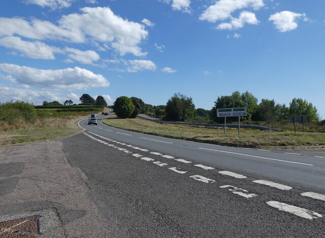
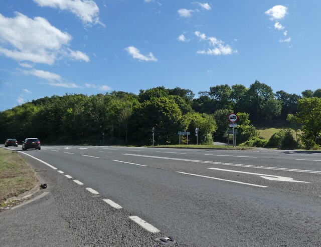
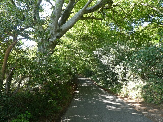
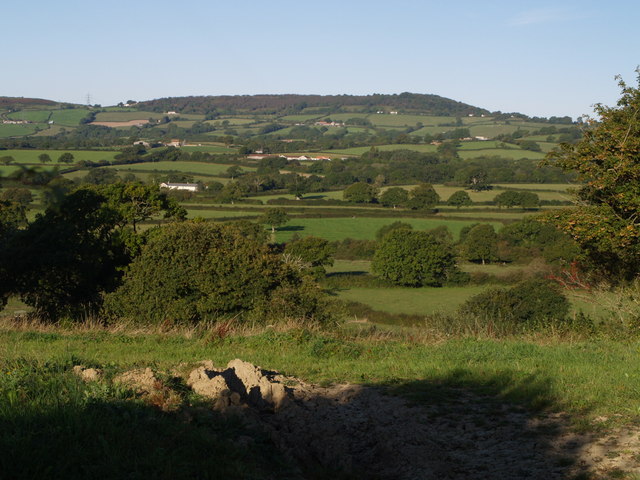
Champernhayes New Plantation is a sprawling woodland area located in Dorset, England. Covering an extensive area of land, the plantation boasts a diverse range of flora and fauna, making it a haven for nature enthusiasts and wildlife alike.
The woodland is primarily composed of a mixture of deciduous and coniferous trees, including oak, beech, and pine. These trees provide a picturesque and serene backdrop for visitors, especially during the vibrant autumn months when the foliage transforms into a spectacular array of colors.
Numerous walking trails wind through the plantation, allowing visitors to explore its beauty at their own pace. These trails lead to hidden glades, tranquil ponds, and even a small stream that meanders through the woodland, further enhancing the serene atmosphere.
Champernhayes New Plantation is also home to a wide variety of wildlife. Birdwatchers can spot a range of species, including woodpeckers, owls, and various songbirds. The woodland is also frequented by mammals such as deer, foxes, and rabbits, providing a glimpse into the natural ecosystem of the area.
For those seeking a deeper understanding of the woodland's ecology, the plantation offers educational programs and guided tours. These initiatives aim to raise awareness about the importance of conservation and sustainable land management.
Champernhayes New Plantation is a true gem in the heart of Dorset, offering visitors a chance to reconnect with nature and experience the tranquility of a pristine woodland environment.
If you have any feedback on the listing, please let us know in the comments section below.
Champernhayes New Plantation Images
Images are sourced within 2km of 50.767574/-2.9191346 or Grid Reference SY3596. Thanks to Geograph Open Source API. All images are credited.


Champernhayes New Plantation is located at Grid Ref: SY3596 (Lat: 50.767574, Lng: -2.9191346)
Unitary Authority: Dorset
Police Authority: Dorset
What 3 Words
///native.unwanted.group. Near Charmouth, Dorset
Related Wikis
St Andrew's Church, Monkton Wyld
St Andrew's Church is a Church of England church in Monkton Wyld, Dorset, England. It was built in 1848–49 to the designs of Richard Cromwell Carpenter...

St John's Church, Fishpond Bottom
St John's Church is a Church of England church in Fishpond Bottom, Dorset, England. It was built in 1852 and has been a Grade II listed building since...

Coney's Castle
Coney's Castle is an Iron Age hillfort in Dorset, England. The name Coney is from the Old English for rabbit (Latin cuniculus), suggesting medieval use...

Wootton Fitzpaine
Wootton Fitzpaine is a village and civil parish in the county of Dorset in South West England. It lies approximately 3 miles (4.8 km) north-east of Lyme...

Lambert's Castle
Lambert's Castle is an Iron Age hillfort in the county of Dorset in southwest England. Since 1981 it has been designated as a Site of Special Scientific...
Lambert's Castle Hill
Lambert's Castle Hill (258 metres, 846 feet high) rises between the villages of Marshwood and Fishpond Bottom in the county of Dorset, England. It is...

Catherston Leweston
Catherston Leweston is a small village and civil parish in the county of Dorset in southwest England. It lies approximately 2 miles (3.2 km) northeast...

St Mary's Church, Catherston Leweston
St Mary's Church is a Church of England parish church in Catherston Leweston, Dorset, England. It was designed by John Loughborough Pearson and built in...
Related Videos
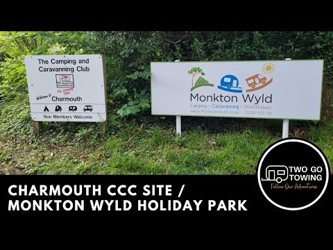
Charmouth Camping and Caravanning Club Site
This video shows arrival at Charmouth Camping and Caravan Club Site (also known as Monkton Wyld Holiday Park) located off ...

Charmouth C&CC July 2020
Charmouth Camping and Caravan club site July 2020.

Charmouth Camping and Caravanning Club Site Review
Snapchat - jsoons6 Instagram - jacob_soons05 Twitter - Jacobsoons Facebook - Jacob Soons.
Nearby Amenities
Located within 500m of 50.767574,-2.9191346Have you been to Champernhayes New Plantation?
Leave your review of Champernhayes New Plantation below (or comments, questions and feedback).