Leonard Scar

Coastal Marsh, Saltings in Lancashire South Lakeland

England

Leonard Scar

From Rampside towards Piel This picture was taken from the coast road looking towards Piel Island. Roa Island and the lifeboat station can be seen on the horizon.
From Rampside towards Piel Credit: Lee Coward

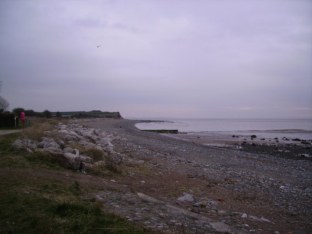
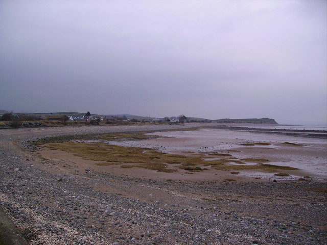
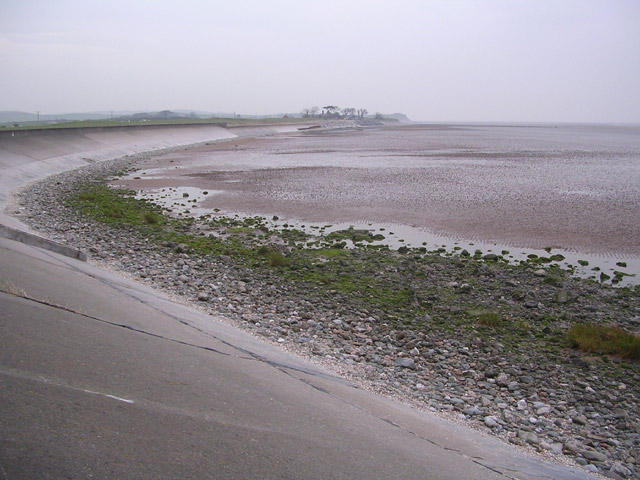
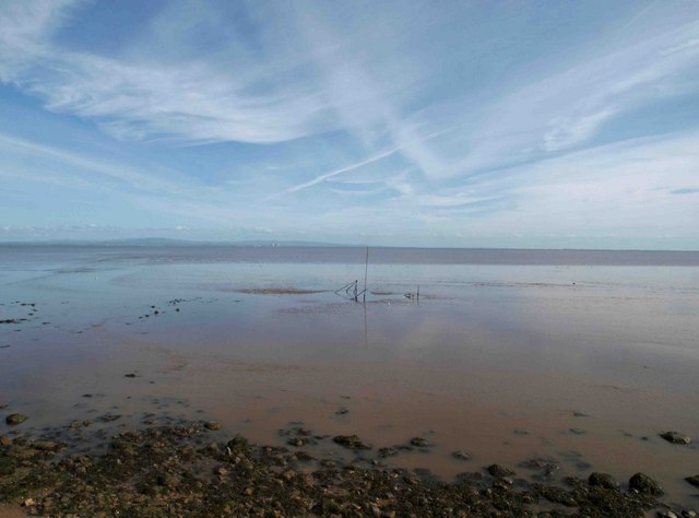
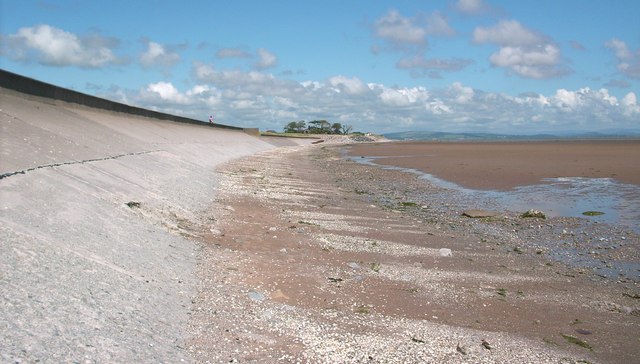
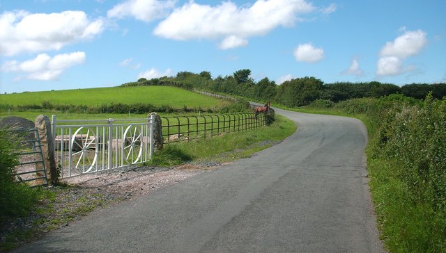
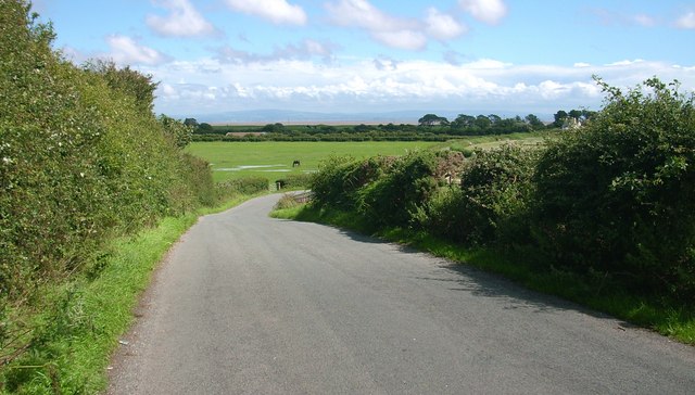
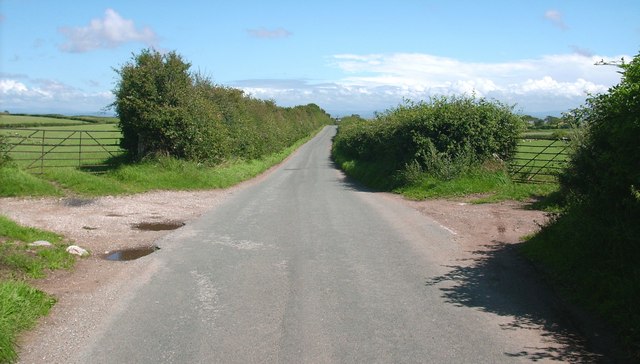
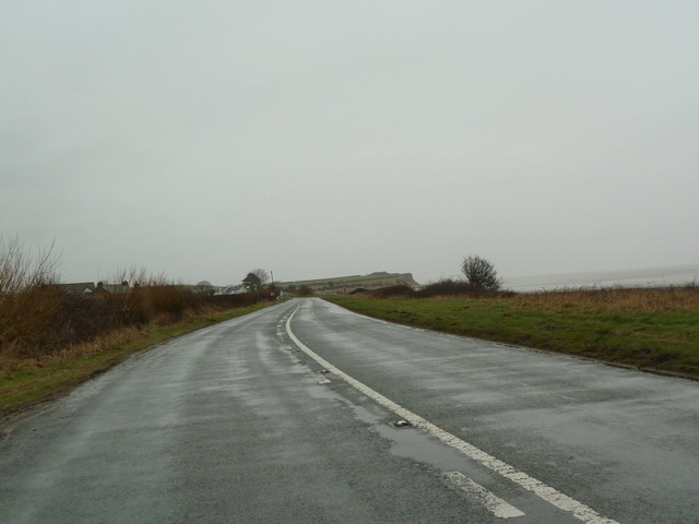
Leonard Scar is a coastal marsh located in Lancashire, England. Situated on the northern banks of the River Wyre, it is known for its unique and diverse ecosystem. The scar is primarily composed of saltmarshes and saltings, which are low-lying areas of land that are regularly inundated by saltwater from the river and the nearby coastline.

This coastal marsh is home to a wide range of plant and animal species that have adapted to the unique conditions of the area. The saltmarsh vegetation includes species such as sea lavender, sea purslane, and cordgrass, which thrive in the brackish water. These plants provide important habitat and food sources for various bird species, including wading birds like redshanks and lapwings, as well as migratory species like curlews and oystercatchers.

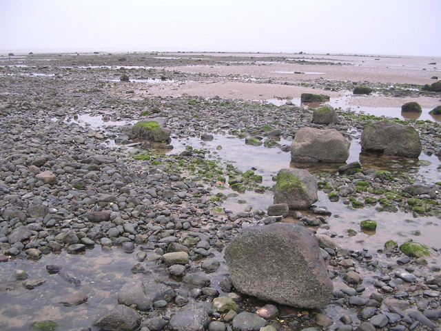
The Leonard Scar area also supports a diverse range of invertebrates, such as crabs, shrimps, and snails, which play a crucial role in the ecosystem by providing food for other animals and helping to cycle nutrients. Additionally, the marshes serve as a nursery for fish species, including flounders and eels, which utilize the rich feeding grounds and sheltered habitats.

The scar is not only ecologically significant but also a popular destination for nature enthusiasts and birdwatchers. It offers stunning views of the estuary and the surrounding coastline, providing ample opportunities for photography and wildlife observation. Visitors can explore the area via designated footpaths and trails, ensuring minimal disturbance to the fragile ecosystem. Leonard Scar, Lancashire, is a captivating and valuable coastal marsh, contributing to the biodiversity and natural beauty of the region.

If you have any feedback on the listing, please let us know in the comments section below.
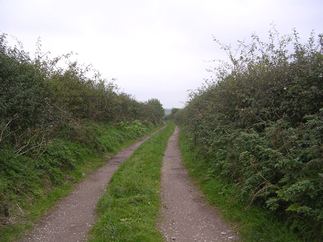
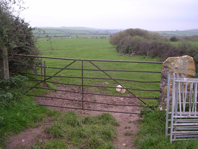
Leonard Scar Images

Images are sourced within 2km of 54.108695/-3.1224148 or Grid Reference SD2668. Thanks to Geograph Open Source API. All images are credited.

From Rampside towards Piel This picture was taken from the coast road looking towards Piel Island. Roa Island and the lifeboat station can be seen on the horizon.
From Rampside towards Piel
This picture was taken from the coast road looking towards Piel Island. Roa Island and the lifeboat station can be seen on the horizon.
Looking towards Moat Scar Near Sea Mill
Looking towards Moat Scar
Near Sea Mill
Coast at Newbiggin Looking north east
Coast at Newbiggin
Looking north east
Point of Comfort Scar
Coastal Protection at Point of Comfort
Track with no name Looking north up track off the minor road linking Leece and Point of Comfort
Track with no name
Looking north up track off the minor road linking Leece and Point of Comfort
Gateway to fields near Leece Looking northwards
Gateway to fields near Leece
Looking northwards
Roosebeck sands The vast expanse of Morecambe bay from the coast road to Ulverston.
Roosebeck sands
The vast expanse of Morecambe bay from the coast road to Ulverston.
Sea wall along the Coast Road
Country Lane
Country Lane
Country Lane The sands of Morecambe Bay can be seen in the distance.
Country Lane
The sands of Morecambe Bay can be seen in the distance.
Country Lane
Country Lane
Track off to the north of Long Lane
Junction of Long Lane with the A5087
Looking along the coast towards Leonard Scar
Coast Road the A5087 south of Newbiggin
Show me another place!

Leonard Scar is located at Grid Ref: SD2668 (Lat: 54.108695, Lng: -3.1224148)

Administrative County: Cumbria

District: South Lakeland

Police Authority: Cumbria

What 3 Words

///hurricane.pile.hovered. Near Dalton in Furness, Cumbria

Related Wikis

Newbiggin, Furness

Newbiggin is a village on the A5087 road, in Furness, in the South Lakeland district, in the English county of Cumbria. Historically in Lancashire, nearby...

Roosebeck

Roosebeck is a hamlet in South Lakeland, Cumbria, England, on the north west coast of Morecambe Bay. It is in the civil parish of Aldingham.Roosebeck is...

Gleaston

Gleaston is a village with a population of around 400 in the Furness area of South Cumbria, situated between the towns of Barrow-in-Furness, Dalton-in...

Leece

Leece is a village on the Furness peninsula in Cumbria, England, between the towns of Ulverston and Barrow-in-Furness. == Amenities == The village is built...

Related Videos

глент рыгает | equinoxes

мем, morshu, своя игра, андрей жданов, монах мудрец, морихей уэсиба, сенсей мем, 2006 год, сан саныч богомолов, ...

Gleaston Castle | Heritage from the Air | Series 1

The romantic ruins of Gleaston Castle are well known in Furness but take to the air and the site takes on a new dimension...

Gleaston Castle 2021 (drone)

Closer look at the collapse of the Tower at Gleaston castle (Nr. Ulverston) 6th Feb 2021 .

Beer Review | Hawkshead - Prime Porter

Porter from Cumbrian brewery Hawkshead Follow me on Instagram @SamDrinksBeerYT Add me on Untappd- SamDrinksBeer93 ...

Nearby Amenities

Located within 500m of 54.108695,-3.1224148
Source: PGS
Lat/Long: 54.1064697/-3.1287238
Source: PGS
Lat/Long: 54.1067142/-3.1282949
Source: PGS
Lat/Long: 54.1068828/-3.1280196
Source: PGS
Lat/Long: 54.1070206/-3.1277604
Source: PGS
Lat/Long: 54.107244/-3.1273647
Source: PGS
Lat/Long: 54.1074251/-3.127027
Source: PGS
Lat/Long: 54.1076194/-3.1266352
Source: PGS
Lat/Long: 54.1077323/-3.1262967
Source: PGS
Lat/Long: 54.1078207/-3.1260466
Source: PGS
Lat/Long: 54.1078603/-3.1257683
Source: PGS
Lat/Long: 54.1079593/-3.1255091
Source: PGS
Lat/Long: 54.1080697/-3.1252459
Source: PGS
Lat/Long: 54.1083443/-3.1246059
Source: PGS
Lat/Long: 54.1085218/-3.1242453
Source: PGS
Lat/Long: 54.1086392/-3.123948
Source: PGS
Lat/Long: 54.1087126/-3.1235451
Source: PGS
Lat/Long: 54.1088128/-3.123086
Source: PGS
Lat/Long: 54.1089418/-3.1226986
Source: PGS
Lat/Long: 54.1090797/-3.1223943
Source: PGS
Lat/Long: 54.1093786/-3.1220432
Source: PGS
Lat/Long: 54.1098591/-3.121782
Source: PGS
Lat/Long: 54.1103097/-3.1214384
Source: PGS
Lat/Long: 54.1105869/-3.1211811
Source: PGS
Lat/Long: 54.1111772/-3.1210277
Source: PGS
Lat/Long: 54.111517/-3.1212901
Source: PGS
Lat/Long: 54.1119992/-3.1213091
Source: PGS
Lat/Long: 54.1122881/-3.121113
Source: PGS
Lat/Long: 54.1124941/-3.120884
Source: PGS
Lat/Long: 54.1126745/-3.1205288
Bus Stop
Roosebeck House (S bound)
Bus: yes
Naptan AtcoCode: 090079010657
Naptan Bearing: W
Naptan CommonName: Roosebeck House (S bound)
Naptan Indicator: s/bound
Naptan Landmark: Roosebeck House
Naptan NaptanCode: cumdgmda
Naptan Street: B5087
Naptan Verified: no
Public Transport: platform
Source: naptan_import
Lat/Long: 54.1085493/-3.1251243
Bus Stop
Roosebeck House (N bound)
Bus: yes
Naptan AtcoCode: 090079014284
Naptan Bearing: N
Naptan BusStopType: CUS
Naptan CommonName: Roosebeck House (N bound)
Naptan Indicator: n/bound
Naptan Landmark: Roosebeck House
Naptan NaptanCode: cumdtapm
Naptan Street: Coast Road
Naptan Verified: no
Public Transport: platform
Source: naptan_import
Lat/Long: 54.1086856/-3.1250431
Source: PGS
Lat/Long: 54.1111974/-3.120603
Barrier: stile
Lat/Long: 54.1117281/-3.1218268
Barrier: stile
Lat/Long: 54.1119048/-3.1230035
Parking
Lat/Long: 54.1065359/-3.1289271
Power: pole
Lat/Long: 54.1075671/-3.1291827
Power: pole
Lat/Long: 54.1082904/-3.1281689
Power: pole
Lat/Long: 54.1092374/-3.12686
Power: pole
Lat/Long: 54.1100024/-3.1258027
Power: pole
Lat/Long: 54.110745/-3.1247603
Power: pole
Lat/Long: 54.1112207/-3.1240918
Power: pole
Lat/Long: 54.1118627/-3.1232012
Power: pole
Lat/Long: 54.1124621/-3.1223567
Power: pole
Lat/Long: 54.1101558/-3.1278259
Power: pole
Lat/Long: 54.1111021/-3.1270738
The data included in this document is from www.openstreetmap.org. The data is made available under ODbL.

Have you been to Leonard Scar?

Leave your review of Leonard Scar below (or comments, questions and feedback).