Flint Sands
Coastal Marsh, Saltings in Flintshire
Wales
Flint Sands

Flint Sands is a coastal marsh located in Flintshire, Wales. Situated between the towns of Flint and Bagillt, it stretches along the estuary of the River Dee, offering a diverse and unique natural environment known as the Saltings.
Covering an area of approximately 200 hectares, Flint Sands is characterized by its sandy beaches, mudflats, and salt marshes. These habitats are influenced by the tidal movements of the River Dee, creating a dynamic ecosystem that supports a wide range of plant and animal species.
The sandy beaches of Flint Sands are a popular destination for locals and tourists alike. They provide a picturesque setting for leisure activities such as sunbathing, picnicking, and beachcombing. The expansive mudflats, exposed during low tide, attract a variety of bird species, including waders and waterfowl, making it an ideal spot for birdwatching.
The salt marshes of Flint Sands are a crucial habitat for many plant species that are specially adapted to tolerate the high salt content of the surrounding water. These marshes also serve as important feeding and breeding grounds for various marine organisms, including crabs, shrimps, and small fish.
Flint Sands is not only a haven for wildlife but also plays a significant role in coastal protection. The salt marshes act as a natural buffer, absorbing and dissipating the energy of waves, protecting the nearby towns from erosion and flooding.
Due to its ecological importance, Flint Sands has been designated as a Site of Special Scientific Interest (SSSI) and is managed by conservation organizations to preserve its unique biodiversity and natural beauty. Visitors to Flint Sands are encouraged to explore and appreciate this exceptional coastal marsh while respecting the fragile ecosystem it supports.
If you have any feedback on the listing, please let us know in the comments section below.
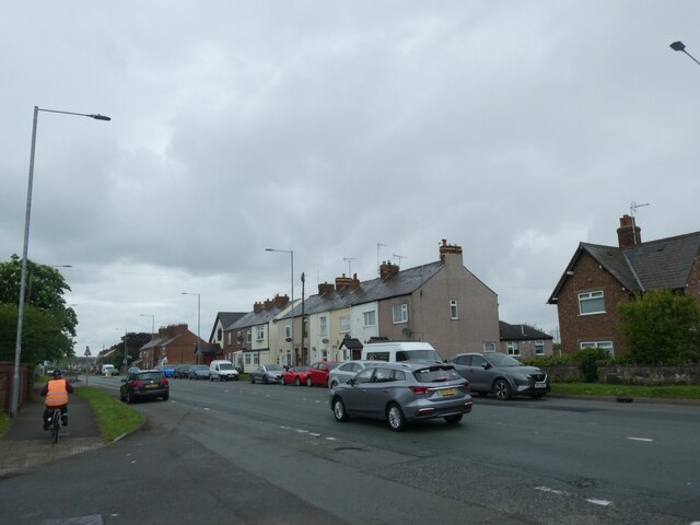
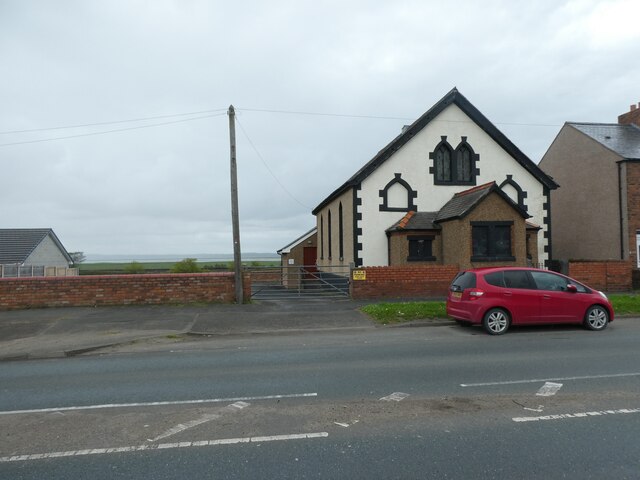
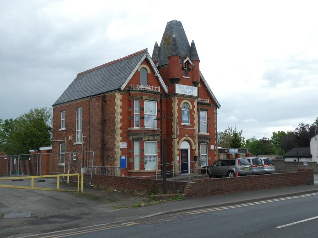
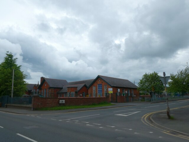
Flint Sands Images
Images are sourced within 2km of 53.242533/-3.0979976 or Grid Reference SJ2672. Thanks to Geograph Open Source API. All images are credited.


Flint Sands is located at Grid Ref: SJ2672 (Lat: 53.242533, Lng: -3.0979976)
Unitary Authority: Flintshire
Police Authority: North Wales
What 3 Words
///toothpick.jigging.length. Near Flint, Flintshire
Nearby Locations
Related Wikis
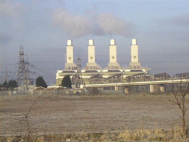
Connah's Quay Power Station
Connah's Quay Power Station is the name of the current 1,420 MW gas-fired power station near Connah's Quay in Flintshire in North Wales. The power plant...
Oakenholt
Oakenholt is a village in Flintshire, Wales. It is situated to the south east of the town of Flint, near the A548 road. At the 2001 Census, the population...

St Richard Gwyn Catholic High School, Flint
St Richard Gwyn Catholic High School is a Catholic co-educational voluntary aided secondary school situated on Albert Avenue in Flint, Flintshire, United...

Cae-y-Castell
Cae-y-Castell (currently known as the Essity Stadium for sponsorship reasons) is a football stadium in Flint, Flintshire, Wales. Located on the banks of...
Related Videos

Walking The Wales Coast Path 1: Saltney to Flint
Part One of my walk along The Wales Coast Path, after a short walk from Chester we continue from the official start/finish point of ...

Taking a trip down the River Dee #travel #england #sports #river #paddleboarding #nature #wildlife
Today I will take you paddleboarding down the River Dee. We launch off from Farndon and take in the wonderful wildlife.

Walking Wales Coastal Path for Conqueror Virtual Ukraine Challenge Episode 4
With the on going war in Ukraine I decided to walk for charity instead of a medal for one of the normal walking challenges that The ...

Walking the North Welsh Coast - Part 2: Flint to Ffynnongroyw (Hiking & History #22)
Join me for day two of an epic, week-long adventure along the stunning North Welsh Coast! In this travel vlog, I embark on a ...
Nearby Amenities
Located within 500m of 53.242533,-3.0979976Have you been to Flint Sands?
Leave your review of Flint Sands below (or comments, questions and feedback).