Leonard Hill

Hill, Mountain in Lancashire South Lakeland

England

Leonard Hill

Looking towards Moat Scar Near Sea Mill
Looking towards Moat Scar Credit: Michael Graham

Leonard Hill is a small hill located in the county of Lancashire, England. It sits within the larger region of the West Pennine Moors, which is known for its picturesque landscapes and natural beauty. The hill is situated near the town of Chorley and lies within close proximity to other prominent landmarks such as Anglezarke Reservoir and Rivington Pike.

Standing at an elevation of approximately 1,200 feet, Leonard Hill offers breathtaking panoramic views of the surrounding countryside. Its summit is adorned with a mixture of heather, grasses, and scattered rocks, creating a serene and peaceful atmosphere for visitors to enjoy. The hill is a popular destination for nature enthusiasts, hikers, and photographers seeking to capture the stunning vistas.

Leonard Hill also holds historical significance, as it is believed to have been a site of ancient settlements dating back to the Bronze Age. Archaeological excavations have uncovered remnants of stone tools and pottery, providing valuable insights into the area's past.

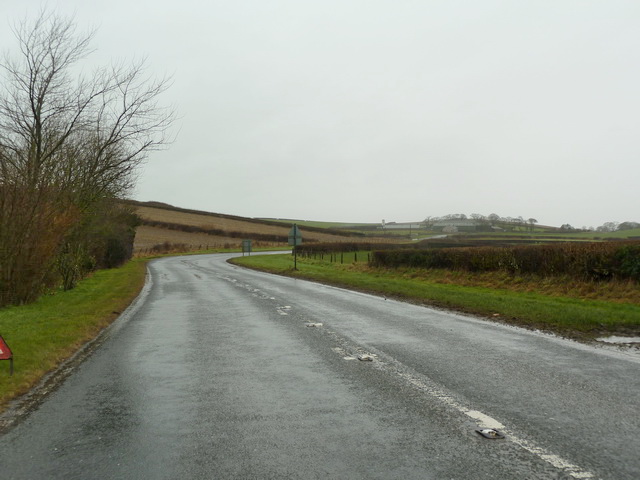
Access to Leonard Hill is best achieved by foot, with several footpaths and trails leading to the top. The hill offers a range of routes suitable for different levels of fitness and expertise, accommodating both leisurely strolls and more challenging hikes. Visitors are advised to wear appropriate footwear and be mindful of the natural environment, as the area supports a diverse range of flora and fauna.

Overall, Leonard Hill in Lancashire is a captivating destination that combines natural beauty, historical significance, and recreational opportunities, making it an ideal spot for outdoor enthusiasts and those seeking a peaceful escape.

If you have any feedback on the listing, please let us know in the comments section below.
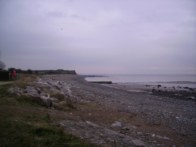
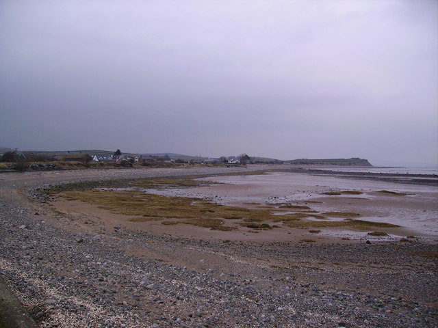
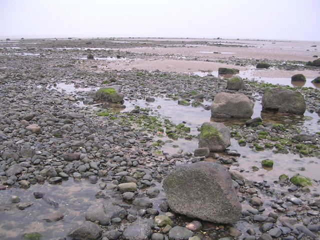
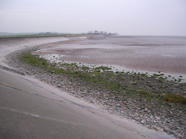
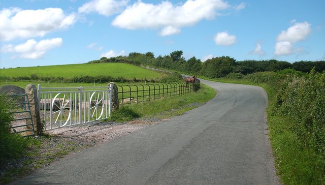
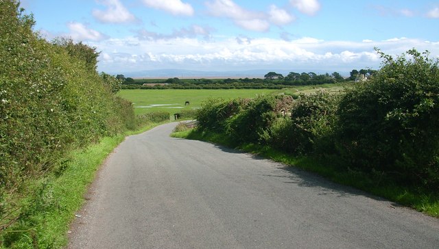
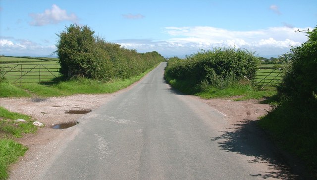
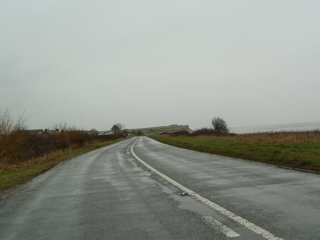
Leonard Hill Images

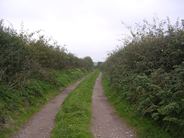
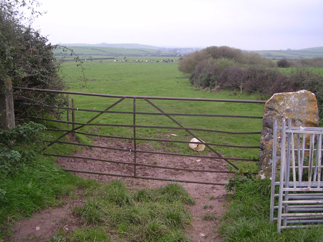
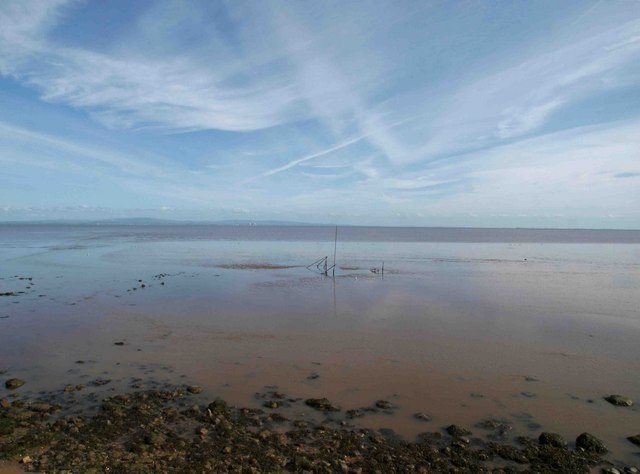
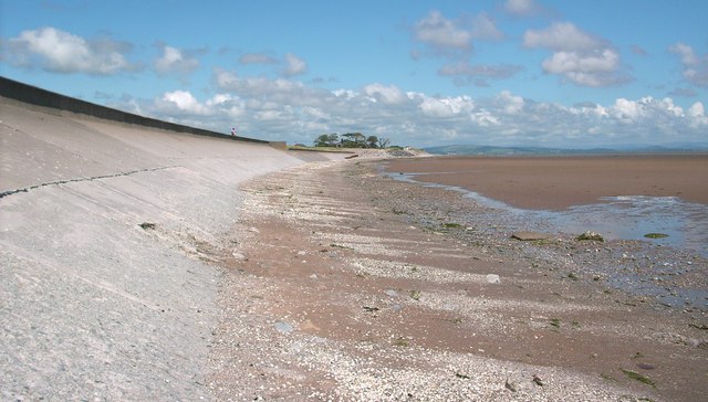
Images are sourced within 2km of 54.11007/-3.1224519 or Grid Reference SD2668. Thanks to Geograph Open Source API. All images are credited.

Looking towards Moat Scar Near Sea Mill
Looking towards Moat Scar
Near Sea Mill
Coast at Newbiggin Looking north east
Coast at Newbiggin
Looking north east
Point of Comfort Scar
Coastal Protection at Point of Comfort
Track with no name Looking north up track off the minor road linking Leece and Point of Comfort
Track with no name
Looking north up track off the minor road linking Leece and Point of Comfort
Gateway to fields near Leece Looking northwards
Gateway to fields near Leece
Looking northwards
Roosebeck sands The vast expanse of Morecambe bay from the coast road to Ulverston.
Roosebeck sands
The vast expanse of Morecambe bay from the coast road to Ulverston.
Sea wall along the Coast Road
Country Lane
Country Lane
Country Lane The sands of Morecambe Bay can be seen in the distance.
Country Lane
The sands of Morecambe Bay can be seen in the distance.
Country Lane
Country Lane
Track off to the north of Long Lane
Junction of Long Lane with the A5087
Looking along the coast towards Leonard Scar
Coast Road the A5087 south of Newbiggin
Coast Road the A5087 north of Newbiggin
Show me another place!

Leonard Hill is located at Grid Ref: SD2668 (Lat: 54.11007, Lng: -3.1224519)

Administrative County: Cumbria

District: South Lakeland

Police Authority: Cumbria

What 3 Words

///offstage.sport.keep. Near Dalton in Furness, Cumbria

Related Wikis

Newbiggin, Furness

Newbiggin is a village on the A5087 road, in Furness, in the South Lakeland district, in the English county of Cumbria. Historically in Lancashire, nearby...

Roosebeck

Roosebeck is a hamlet in South Lakeland, Cumbria, England, on the north west coast of Morecambe Bay. It is in the civil parish of Aldingham.Roosebeck is...

Gleaston

Gleaston is a village with a population of around 400 in the Furness area of South Cumbria, situated between the towns of Barrow-in-Furness, Dalton-in...

Leece

Leece is a village on the Furness peninsula in Cumbria, England, between the towns of Ulverston and Barrow-in-Furness. == Amenities == The village is built...

Nearby Amenities

Located within 500m of 54.11007,-3.1224519
Source: PGS
Lat/Long: 54.1070206/-3.1277604
Source: PGS
Lat/Long: 54.107244/-3.1273647
Source: PGS
Lat/Long: 54.1074251/-3.127027
Source: PGS
Lat/Long: 54.1076194/-3.1266352
Source: PGS
Lat/Long: 54.1077323/-3.1262967
Source: PGS
Lat/Long: 54.1078207/-3.1260466
Source: PGS
Lat/Long: 54.1078603/-3.1257683
Source: PGS
Lat/Long: 54.1079593/-3.1255091
Source: PGS
Lat/Long: 54.1080697/-3.1252459
Source: PGS
Lat/Long: 54.1083443/-3.1246059
Source: PGS
Lat/Long: 54.1085218/-3.1242453
Source: PGS
Lat/Long: 54.1086392/-3.123948
Source: PGS
Lat/Long: 54.1087126/-3.1235451
Source: PGS
Lat/Long: 54.1088128/-3.123086
Source: PGS
Lat/Long: 54.1089418/-3.1226986
Source: PGS
Lat/Long: 54.1090797/-3.1223943
Source: PGS
Lat/Long: 54.1093786/-3.1220432
Source: PGS
Lat/Long: 54.1098591/-3.121782
Source: PGS
Lat/Long: 54.1103097/-3.1214384
Source: PGS
Lat/Long: 54.1105869/-3.1211811
Source: PGS
Lat/Long: 54.1111772/-3.1210277
Source: PGS
Lat/Long: 54.111517/-3.1212901
Source: PGS
Lat/Long: 54.1119992/-3.1213091
Source: PGS
Lat/Long: 54.1122881/-3.121113
Source: PGS
Lat/Long: 54.1124941/-3.120884
Source: PGS
Lat/Long: 54.1126745/-3.1205288
Source: PGS
Lat/Long: 54.1130719/-3.1197966
Source: PGS
Lat/Long: 54.113359/-3.1192572
Source: PGS
Lat/Long: 54.113623/-3.1186453
Bus Stop
Roosebeck House (S bound)
Bus: yes
Naptan AtcoCode: 090079010657
Naptan Bearing: W
Naptan CommonName: Roosebeck House (S bound)
Naptan Indicator: s/bound
Naptan Landmark: Roosebeck House
Naptan NaptanCode: cumdgmda
Naptan Street: B5087
Naptan Verified: no
Public Transport: platform
Source: naptan_import
Lat/Long: 54.1085493/-3.1251243
Bus Stop
Newbiggin (N bound)
Bench: yes
Bus: yes
Covered: yes
Naptan AtcoCode: 090079011186
Naptan Bearing: N
Naptan BusStopType: CUS
Naptan CommonName: Newbiggin (N bound)
Naptan Indicator: n/bound
Naptan Landmark: Village Road End
Naptan NaptanCode: cumdgmgp
Naptan Street: No name
Naptan Verified: no
Public Transport: platform
Shelter: yes
Source: naptan_import
Lat/Long: 54.1140017/-3.1191522
Bus Stop
Roosebeck House (N bound)
Bus: yes
Naptan AtcoCode: 090079014284
Naptan Bearing: N
Naptan BusStopType: CUS
Naptan CommonName: Roosebeck House (N bound)
Naptan Indicator: n/bound
Naptan Landmark: Roosebeck House
Naptan NaptanCode: cumdtapm
Naptan Street: Coast Road
Naptan Verified: no
Public Transport: platform
Source: naptan_import
Lat/Long: 54.1086856/-3.1250431
Post Box
Ref: LA12 82
Lat/Long: 54.1140805/-3.1190429
Source: PGS
Lat/Long: 54.1111974/-3.120603
Barrier: stile
Lat/Long: 54.1117281/-3.1218268
Barrier: stile
Lat/Long: 54.1119048/-3.1230035
Power: pole
Lat/Long: 54.1082904/-3.1281689
Power: pole
Lat/Long: 54.1092374/-3.12686
Power: pole
Lat/Long: 54.1100024/-3.1258027
Power: pole
Lat/Long: 54.110745/-3.1247603
Power: pole
Lat/Long: 54.1112207/-3.1240918
Power: pole
Lat/Long: 54.1118627/-3.1232012
Power: pole
Lat/Long: 54.1124621/-3.1223567
Power: pole
Lat/Long: 54.1132085/-3.1217607
Power: pole
Lat/Long: 54.1136403/-3.1214199
Power: pole
Lat/Long: 54.1140954/-3.1210768
Power: pole
Lat/Long: 54.1101558/-3.1278259
Power: pole
Lat/Long: 54.1111021/-3.1270738
The data included in this document is from www.openstreetmap.org. The data is made available under ODbL.

Have you been to Leonard Hill?

Leave your review of Leonard Hill below (or comments, questions and feedback).