Axe Marsh

Coastal Marsh, Saltings in Devon East Devon

England

Axe Marsh

Tram No. 14 at Axmouth Loop Seaton Tramway Car No.14 approaching the loop at Axmouth.  It was a party special for young ladies who were going to a 'Fairy Party' at Colyton.
Tram No. 14 at Axmouth Loop Credit: Bob Walters

Axe Marsh is a picturesque coastal marsh located in Devon, England. It is a designated Area of Outstanding Natural Beauty, known for its diverse ecosystem and stunning natural scenery. The marsh is situated near the mouth of the River Axe, where it meets the English Channel, making it an important coastal habitat.

The marsh is characterized by its saltmarshes and mudflats, known as saltings, which are formed by the regular tidal movements. These tidal patterns create a unique environment that supports a rich variety of plant and animal life. The marsh is home to numerous species of wading birds, including oystercatchers, redshanks, and curlews, which can be observed feeding in the mudflats during low tide.

The vegetation in Axe Marsh is predominantly salt-tolerant, with plants such as sea lavender and sea aster thriving in the brackish waters. These plants provide food and shelter for a range of insects and invertebrates, which in turn attract larger birds and mammals.

The marsh is a popular destination for nature enthusiasts and birdwatchers, who can explore the area through a network of footpaths and trails. The surrounding coastal area offers stunning views of the marsh, with its vast expanse of reeds and grasses interspersed with pools of water.

Axe Marsh also plays an important role in flood prevention, acting as a natural buffer against storm surges and high tides. The marsh's vegetation helps absorb excess water and reduces the risk of coastal erosion.

Overall, Axe Marsh is a valuable natural habitat and a scenic coastal landscape, offering visitors a chance to immerse themselves in the beauty and tranquility of this unique marshland ecosystem.

If you have any feedback on the listing, please let us know in the comments section below.

Axe Marsh Images

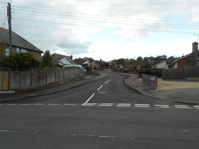
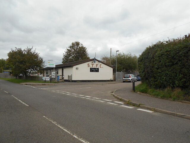
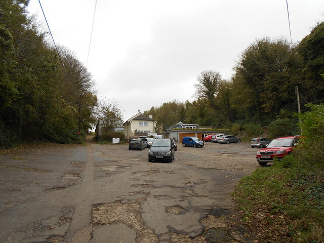
Images are sourced within 2km of 50.723547/-3.0539091 or Grid Reference SY2592. Thanks to Geograph Open Source API. All images are credited.

Tram No. 14 at Axmouth Loop Seaton Tramway Car No.14 approaching the loop at Axmouth.  It was a party special for young ladies who were going to a 'Fairy Party' at Colyton.
Tram No. 14 at Axmouth Loop
Seaton Tramway Car No.14 approaching the loop at Axmouth. It was a party special for young ladies who were going to a 'Fairy Party' at Colyton.
Boundary Stone, River Axe Right on the edge of the tidal stretch of the river. The 1903 map shows a BS as close to this location as possible (from the moving tram). The tramway dates from 1970, built on the line of the L & S W R Seaton Branch track.

 Milestone Society National ID: DV_SEAAXM01bm
Boundary Stone, River Axe
Right on the edge of the tidal stretch of the river. The 1903 map shows a BS as close to this location as possible (from the moving tram). The tramway dates from 1970, built on the line of the L & S W R Seaton Branch track. Milestone Society National ID: DV_SEAAXM01bm
Rosedale Terrace, Colyford Road, Seaton Row of 4 houses with a date plaque that reads 'Rosedale Terrace W.B.H. 1879'. No.2 'The Grockles Hide' is currently (2021 and probably since late 2019) available as a self catering holiday let.
Rosedale Terrace, Colyford Road, Seaton
Row of 4 houses with a date plaque that reads 'Rosedale Terrace W.B.H. 1879'. No.2 'The Grockles Hide' is currently (2021 and probably since late 2019) available as a self catering holiday let.
R W Dack and Sons Lydgates road A local based builder and roofing company.
R W Dack and Sons Lydgates road
A local based builder and roofing company.
Lydgates Road Seaton
All tied up S and X wall ties on Dack and Sons builders.
Harepath Road Seaton.
All tied up
S and X wall ties on Dack and Sons builders. Harepath Road Seaton.
Seaton Town FC Colyford Road Seaton.
A local town team in the Devon and Exeter Premier League.
Seaton Town FC
Colyford Road Seaton. A local town team in the Devon and Exeter Premier League.
Gravel Lane, Seaton The lane, on the left terminates after 200 yards and continues as a footpath which later joins Scalwell Lane.
Gravel Lane, Seaton
The lane, on the left terminates after 200 yards and continues as a footpath which later joins Scalwell Lane.
Black Hole Mash Bird hide A local nature reserve run by East Devon District Council.
At the time of the photograph, it had previously rained and the area was flooded. Resulting in very little birdlife.
Black Hole Mash Bird hide
A local nature reserve run by East Devon District Council. At the time of the photograph, it had previously rained and the area was flooded. Resulting in very little birdlife.
Church street junction The building on the right has an OS Flush Bracket low down on the left.
Church street junction
The building on the right has an OS Flush Bracket low down on the left.
The South West Coast Path Viewed at the point where it passes Axe Cliff Golf Course, club house and car park.
The South West Coast Path
Viewed at the point where it passes Axe Cliff Golf Course, club house and car park.
Foot path across the golf course The South West Coast path crosses the Axe Cliff golf course.
Foot path across the golf course
The South West Coast path crosses the Axe Cliff golf course.
Stoney Cross  Situated on Barn Close Lane. Part of the South West Coast Path.
Stoney Cross
Situated on Barn Close Lane. Part of the South West Coast Path.
A private home The Axmouth Baptist chapel built in 1861 has now been tastefully turned into a private dwelling.
A private home
The Axmouth Baptist chapel built in 1861 has now been tastefully turned into a private dwelling.
A stile at Stoney Cross On a footpath joining Barn Close lane to Stepps Road.
A stile at Stoney Cross
On a footpath joining Barn Close lane to Stepps Road.
Footpath on Stepps Lane Providing a short cut to Barn Close Lane.
Footpath on Stepps Lane
Providing a short cut to Barn Close Lane.
Coldwell Lane Terrace The telephone box, no longer in use has been turned into a small library.
Coldwell Lane Terrace
The telephone box, no longer in use has been turned into a small library.
Mixed houses on Chapel street A number of dwellings following the valley and chousesourse of the road.
Mixed houses on Chapel street
A number of dwellings following the valley and chousesourse of the road.
Show me another place!

Axe Marsh is located at Grid Ref: SY2592 (Lat: 50.723547, Lng: -3.0539091)

Administrative County: Devon

District: East Devon

Police Authority: Devon and Cornwall

What 3 Words

///push.trending.inefficient. Near Colyton, Devon

Related Wikis

River Coly

The River Coly is a 13-kilometre (8.1 mi) long river in the county of Devon, in the south-west of England. It rises in several streams in the north of...

Seaton Tramway

The Seaton Tramway is a 2 ft 9 in (838 mm) narrow gauge electric tramway in the East Devon district of South West England. The 3-mile (4.8 km) route runs...

Colyford railway station

Colyford railway station, and its successor the Colyford tram stop, serve the village of Colyford in Devon, England. It was open as a railway station,...

Stedcombe House

Stedcombe House is a country house in the civil parish of Axmouth, in the East Devon district, in the county of Devon, England. It is recorded in the National...

Nearby Amenities

Located within 500m of 50.723547,-3.0539091
Seaton Wetlands Halt
Is In: Devon, England, United Kingdom
Public Transport: stop_position
Railway: tram_stop
Tram: yes
Lat/Long: 50.7218285/-3.0591548
Operator: Seaton Tramway
Railway: switch
Lat/Long: 50.7221113/-3.0590862
Operator: Seaton Tramway
Railway: switch
Lat/Long: 50.7215161/-3.059172
Poles: bipole
Power: pole
Source: bing
Lat/Long: 50.7231445/-3.0596575
Power: pole
Source: bing
Lat/Long: 50.7262247/-3.0592203
Power: pole
Source: bing
Lat/Long: 50.7263435/-3.0588958
Power: pole
Source: bing
Lat/Long: 50.7256015/-3.059231
Power: pole
Source: bing
Lat/Long: 50.7241583/-3.0604729
Power: pole
Source: bing
Lat/Long: 50.7248222/-3.0595958
Poles: bipole
Power: pole
Source: bing
Lat/Long: 50.7251329/-3.059805
Power: pole
Source: bing
Lat/Long: 50.7243382/-3.0590701
Power: pole
Source: bing
Lat/Long: 50.7251992/-3.0586263
Power: pole
Source: bing
Lat/Long: 50.726026/-3.0582386
Power: pole
Source: bing
Lat/Long: 50.7266729/-3.057847
Building: bunker
Bunker Type: pillbox
Disused: yes
Military: bunker
Lat/Long: 50.7228687/-3.0512775
Building: bunker
Bunker Type: pillbox
Disused: yes
Military: bunker
Lat/Long: 50.7243966/-3.0483082
Building: bunker
Bunker Type: pillbox
Disused: yes
Military: bunker
Lat/Long: 50.7243658/-3.0478645
Fixme: new stop here to allow tramway users to access wetland
Lat/Long: 50.7211595/-3.0592431
The data included in this document is from www.openstreetmap.org. The data is made available under ODbL.

Have you been to Axe Marsh?

Leave your review of Axe Marsh below (or comments, questions and feedback).