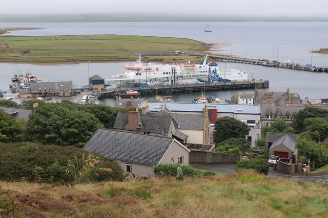
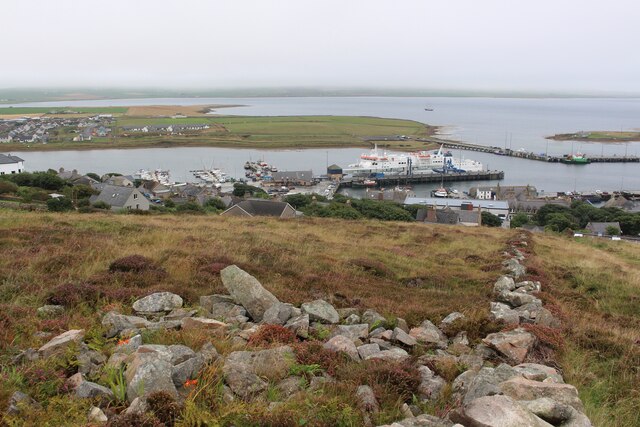
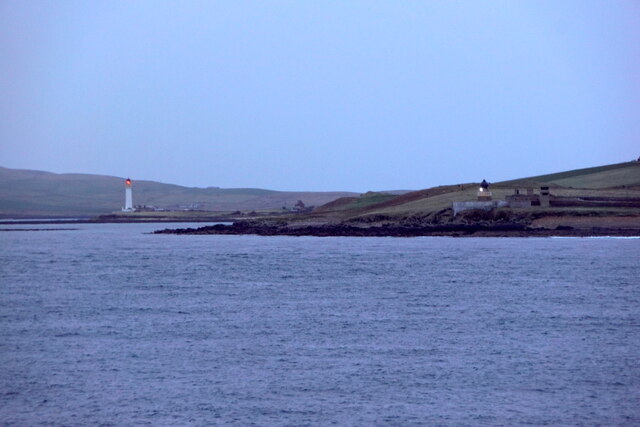
Point of Ness
Coastal Marsh, Saltings in Orkney
Scotland
Point of Ness
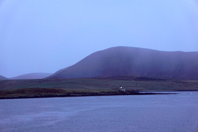
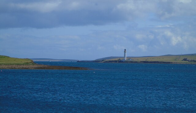
Point of Ness is a coastal area located on the northern coast of the Orkney Islands, a group of islands situated off the northeastern coast of Scotland. It is primarily known for its unique and diverse ecosystem, characterized by coastal marshes and saltings.
The coastal marshes at Point of Ness are a result of the interplay between the sea, land, and freshwater streams. This dynamic environment creates a habitat that supports a wide variety of plant and animal life. The marshes are often covered with a dense carpet of salt-tolerant plants, such as sea aster and sea lavender, which provide important nesting and feeding grounds for birds.
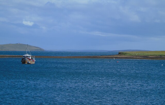
The saltings, or salt marshes, at Point of Ness are formed by the deposition of saltwater during high tides. These areas are characterized by low-lying, muddy flats that are exposed during low tide. The saltings support a unique ecosystem that is adapted to the harsh conditions of high salinity and frequent inundation by the sea. They are home to a range of plant species, including samphire and glasswort.
The Point of Ness area is also of significant archaeological interest, with several ancient sites nearby, including the remains of a Neolithic settlement and a Viking burial ground. These historical sites provide valuable insights into the island's past and attract visitors interested in exploring the region's rich cultural heritage.
Overall, Point of Ness is a fascinating and ecologically important coastal area in Orkney, offering visitors a chance to experience the beauty and diversity of a unique coastal marsh and salting ecosystem, as well as explore its rich history.
If you have any feedback on the listing, please let us know in the comments section below.
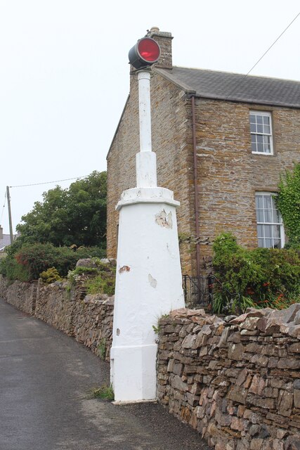
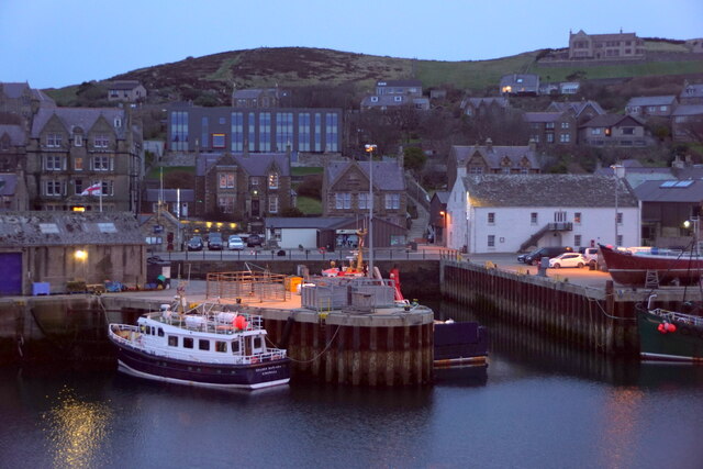
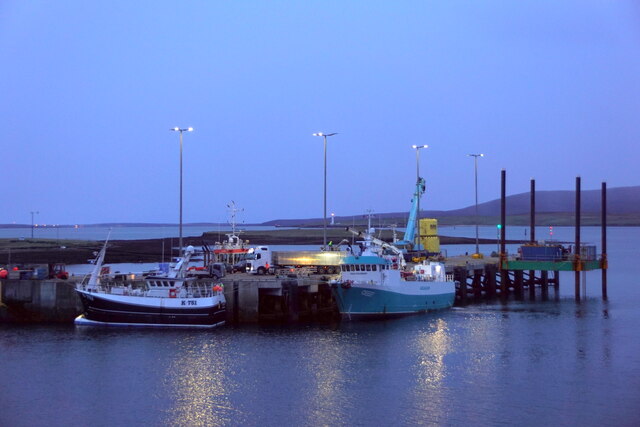
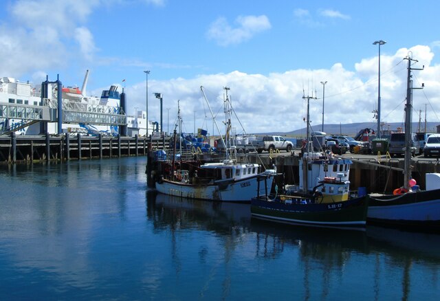
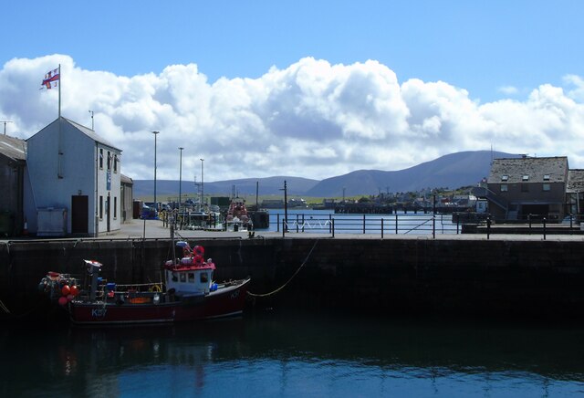
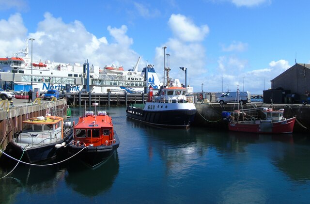
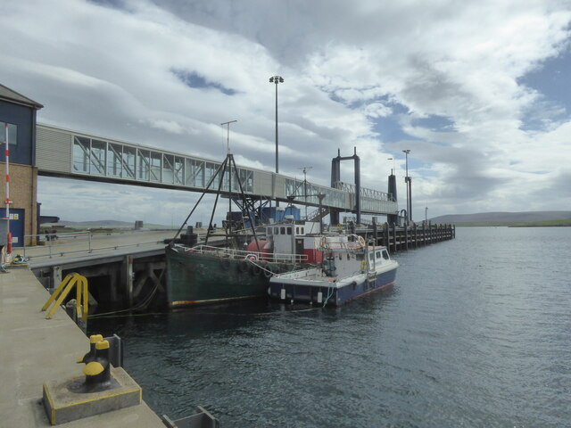
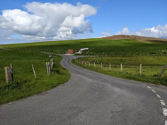
Point of Ness Images
Images are sourced within 2km of 58.952438/-3.2941861 or Grid Reference HY2507. Thanks to Geograph Open Source API. All images are credited.
Point of Ness is located at Grid Ref: HY2507 (Lat: 58.952438, Lng: -3.2941861)
Unitary Authority: Orkney Islands
Police Authority: Highlands and Islands
What 3 Words
///wake.airbrush.option. Near Stromness, Orkney Islands
Nearby Locations
Related Wikis

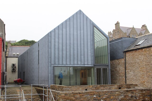
Stromness Museum
Stromness Museum is a small independent museum in the town of Stromness in Orkney, Scotland focusing on the town's connections to maritime and natural...

Inner Holm
Inner Holm is a small inhabited island in Stromness harbour and one of the Orkney islands of Scotland. It is about 350 metres (1,150 ft) east of the harbour...

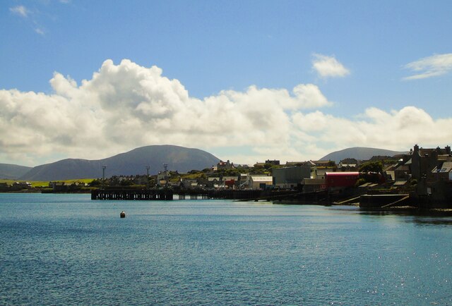
Stromness
Stromness (locally , Old Norse: Straumnes; Norn: Stromnes) is the second-most populous town in Orkney, Scotland. It is in the southwestern part of Mainland...

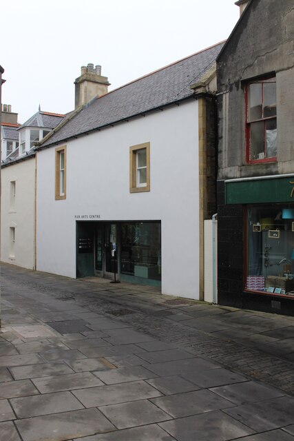
Pier Arts Centre
The Pier Arts Centre is an art gallery and museum in Stromness, Orkney, Scotland. It was established in 1979 to provide a home for an important collection...
Nearby Amenities
Located within 500m of 58.952438,-3.2941861Have you been to Point of Ness?
Leave your review of Point of Ness below (or comments, questions and feedback).