Ness

Coastal Feature, Headland, Point in Orkney

Scotland

Ness

Pier Arts Centre, Stromness
Pier Arts Centre, Stromness Credit: Graeme Yuill

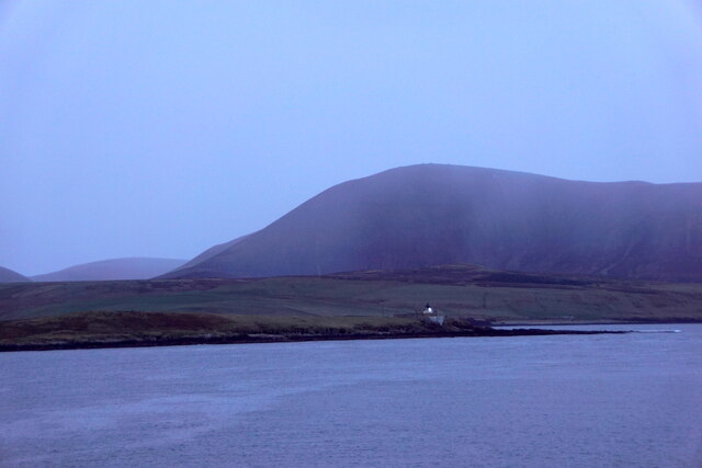
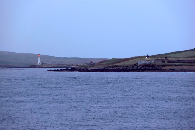
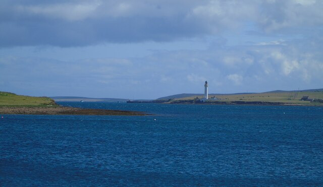
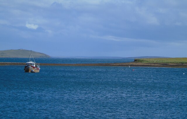
Ness is a prominent coastal feature located in the northernmost part of the Orkney Islands, situated off the northeastern coast of Scotland. It is a headland that juts out into the North Sea, forming a distinctive point that offers stunning views and unique geological formations.

The landscape of Ness is characterized by rugged cliffs that rise dramatically from the sea, reaching heights of up to 100 meters in some areas. The cliffs are composed of layers of sandstone and shale, which have been weathered over time, creating fascinating rock formations and caves that are a haven for wildlife.

Ness is renowned for its rich biodiversity, attracting a wide variety of bird species, including puffins, guillemots, and razorbills, which nest in the cliffs during the breeding season. The surrounding waters also teem with marine life, making it an excellent spot for fishing and diving enthusiasts.

The headland is easily accessible by foot, with well-marked trails that guide visitors along the cliff edge, offering breathtaking views of the ocean and surrounding islands. The area is also home to several archaeological sites, including a Neolithic chambered tomb and remnants of Iron Age settlements, providing a glimpse into the island's ancient history.

Ness is a popular destination for nature lovers, hikers, and those seeking to experience the raw beauty of the Scottish coast. Its remote location and untouched landscapes make it a peaceful retreat away from the hustle and bustle of daily life. Whether exploring the cliffs, observing the wildlife, or simply enjoying the tranquility, Ness offers a truly unforgettable experience for all who venture to its shores.

If you have any feedback on the listing, please let us know in the comments section below.
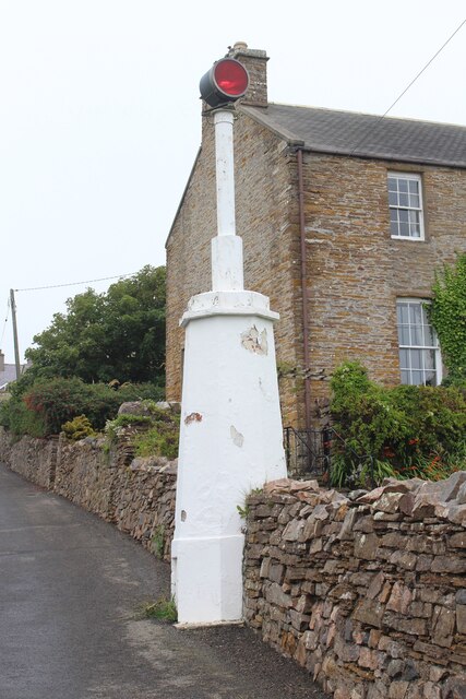
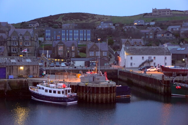
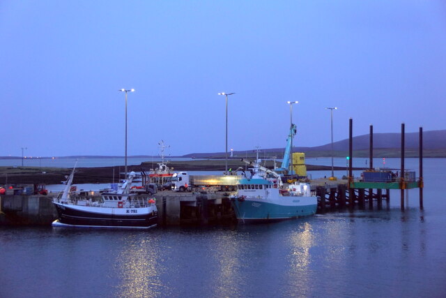
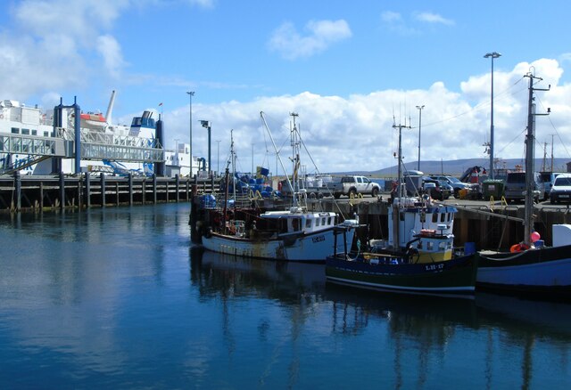
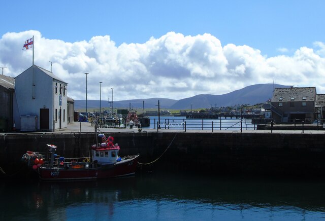
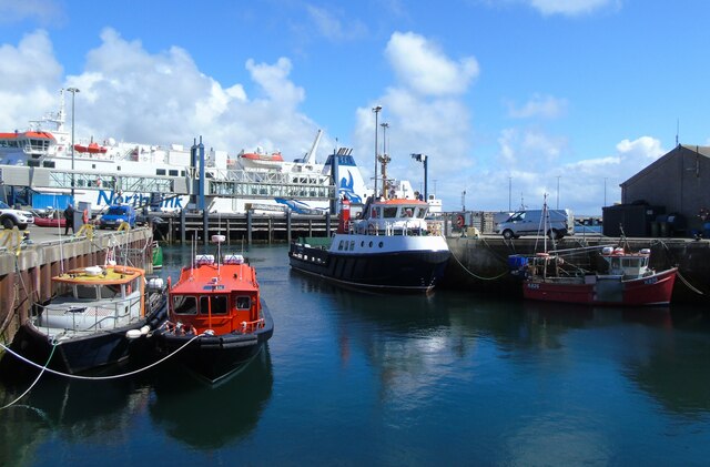
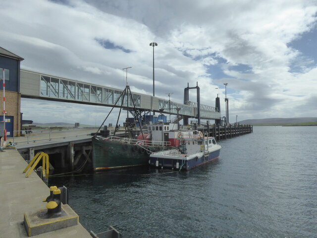
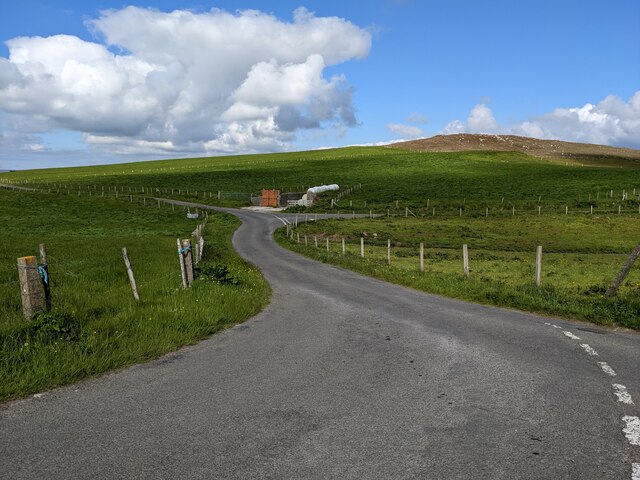
Ness Images

Images are sourced within 2km of 58.952389/-3.2964093 or Grid Reference HY2507. Thanks to Geograph Open Source API. All images are credited.

Pier Arts Centre, Stromness
MV Hamnavoe, Stromness Harbour
Stromness Harbour From Brinkies Brae
Stromness Harbour
From Brinkies Brae
Pier Arts Centre Extension, Stromness Designed by Reiach and Hall Architects
Pier Arts Centre Extension, Stromness
Designed by Reiach and Hall Architects
Navigation Light, Hellihole Road, Stromness
Stromness harbour
Stromness harbour
Copland's Dock, Stromness
Hoy Low Lighthouse, Graemesay
Hoy Low and Hoy High Lighthouses, Graemesay
Stromness Harbour (1) Stromness harbour and ferry terminal, Orkney. The ferry is the MV Hamnavoe which plies the Stromness-Scrabster route. The fishing boat to the left in the foreground is bringing in its catch of mussels.
Stromness Harbour (1)
Stromness harbour and ferry terminal, Orkney. The ferry is the MV Hamnavoe which plies the Stromness-Scrabster route. The fishing boat to the left in the foreground is bringing in its catch of mussels.
Stromness Harbour (2) Stromness Harbour and the Stromness RNLI station, Orkney. The Ness can be seen beyond and Graemsay with Hoy rising above it on the horizon.
Stromness Harbour (2)
Stromness Harbour and the Stromness RNLI station, Orkney. The Ness can be seen beyond and Graemsay with Hoy rising above it on the horizon.
Stromness Harbour (3) Stromness Harbour, Orkney. The NorthLink MV Hamnavoe is docked on the North Pier ahead and the Graemsay ferry is docked on the South Pier to my right.
Stromness Harbour (3)
Stromness Harbour, Orkney. The NorthLink MV Hamnavoe is docked on the North Pier ahead and the Graemsay ferry is docked on the South Pier to my right.
Hoy Sound (High) Lighthouse Hoy Sound (High) Lighthouse, Graemsay, as seen (in zoom) from the end of the South Pier, Stromness Harbour, Orkney. Part of the small, low island  of Outer Holm can be seen on the left and Hoy is on the horizon.
Hoy Sound (High) Lighthouse
Hoy Sound (High) Lighthouse, Graemsay, as seen (in zoom) from the end of the South Pier, Stromness Harbour, Orkney. Part of the small, low island of Outer Holm can be seen on the left and Hoy is on the horizon.
The Holms, Stromness Harbour The Holms as seen (in zoom) from the end of the South Pier, Stromness Harbour, Orkney. Clestrain Sound leads out to Houton Head to the left of shot.
The Holms, Stromness Harbour
The Holms as seen (in zoom) from the end of the South Pier, Stromness Harbour, Orkney. Clestrain Sound leads out to Houton Head to the left of shot.
Stromness (south) I am looking from the end of the South Pier, Stromness Harbour, Orkney, to the southern end of the town and the Ness beyond. The distinctive outlines of the hills of Hoy rise up in the distance.
Stromness (south)
I am looking from the end of the South Pier, Stromness Harbour, Orkney, to the southern end of the town and the Ness beyond. The distinctive outlines of the hills of Hoy rise up in the distance.
Graham Place, Stromness, Orkney
Boats in Stromness Harbour, Orkney
Road junctions above Stromness The hill in the background is Brinkies Brae.
Road junctions above Stromness
The hill in the background is Brinkies Brae.
Show me another place!

Ness is located at Grid Ref: HY2507 (Lat: 58.952389, Lng: -3.2964093)

Unitary Authority: Orkney Islands

Police Authority: Highlands and Islands

What 3 Words

///perused.attracts.work. Near Stromness, Orkney Islands

Related Wikis

Stromness Museum

Stromness Museum is a small independent museum in the town of Stromness in Orkney, Scotland focusing on the town's connections to maritime and natural...
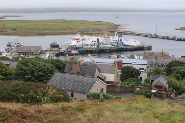
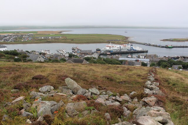
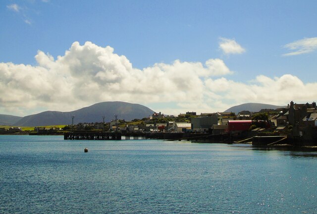
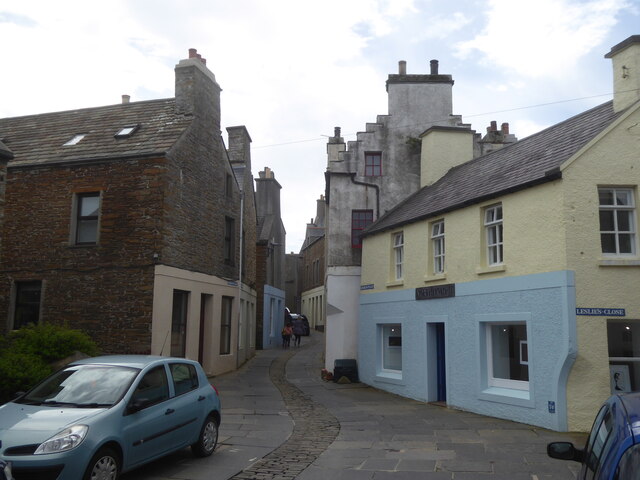
Stromness

Stromness (locally , Old Norse: Straumnes; Norn: Stromnes) is the second-most populous town in Orkney, Scotland. It is in the southwestern part of Mainland...

Inner Holm

Inner Holm is a small inhabited island in Stromness harbour and one of the Orkney islands of Scotland. It is about 350 metres (1,150 ft) east of the harbour...
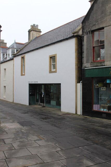
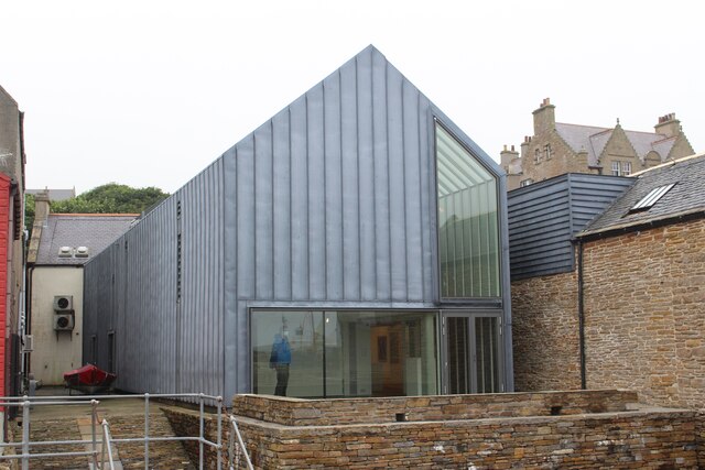
Pier Arts Centre

The Pier Arts Centre is an art gallery and museum in Stromness, Orkney, Scotland. It was established in 1979 to provide a home for an important collection...

Nearby Amenities

Located within 500m of 58.952389,-3.2964093
Point of Ness
Place: locality
Lat/Long: 58.9523766/-3.2942799
Seamark Light 1 Character: Fl
Seamark Light 1 Colour: white
Seamark Light 1 Height: 7
Seamark Light 1 Period: 4
Seamark Light 1 Range: 7
Seamark Light 1 Sector End: 90
Seamark Light 1 Sector Start: 170
Seamark Light 1 Sequence: 1+(3)
Seamark Light 2 Character: Fl
Seamark Light 2 Colour: green
Seamark Light 2 Height: 7
Seamark Light 2 Period: 4
Seamark Light 2 Range: 4
Seamark Light 2 Sector End: 100
Seamark Light 2 Sector Start: 90
Seamark Light 2 Sequence: 1+(3)
Seamark Light Reference: A 3650
Seamark Type: light_minor
Source: US NGA Pub. 114. 2011-05-26.
Lat/Long: 58.94925/-3.29715
Historic: ruins
Note: WWII gun emplacement
Source: Bing; survey
Lat/Long: 58.9502189/-3.3024452
Source: Bing; survey
Traffic Calming: bump
Lat/Long: 58.9545213/-3.300124
Source: Bing; survey
Traffic Calming: bump
Lat/Long: 58.9558755/-3.3006007
Post Box
Collection Times: Mo-Fr 13:00; Sa 11:30
Description: Ness Road Postbox
Operator: Royal Mail
Operator Wikidata: Q638098
Post Box Manufacturer: Machan, Scotland
Post Box Type: wall
Ref: KW16 8
Royal Cypher: scottish_crown
Lat/Long: 58.9559767/-3.3006911
Generator Method: photovoltaic
Generator Output Electricity: yes
Generator Source: solar
Generator Type: solar_photovoltaic_panel
Location: roof
Power: generator
Lat/Long: 58.9556633/-3.3016142
Ness
Place: locality
Lat/Long: 58.9528091/-3.2979399
Seatricity Ltd
Addr City: Stromness
Addr Postcode: KW16 3DW
Addr Street: Ness
Waterway: boatyard
Lat/Long: 58.9530527/-3.2967153
Drinking Water
Lat/Long: 58.9525265/-3.2958103
Toilets
Access: customers
Lat/Long: 58.9525813/-3.2960151
Caravans: yes
Motorhomes: yes
Tourism: camp_pitch
Lat/Long: 58.9521041/-3.2946311
Caravans: yes
Motorhomes: yes
Tourism: camp_pitch
Lat/Long: 58.9521456/-3.2947317
Caravans: yes
Motorhomes: yes
Tourism: camp_pitch
Lat/Long: 58.9524776/-3.2945332
Caravans: yes
Motorhomes: yes
Tourism: camp_pitch
Lat/Long: 58.9525315/-3.2944594
Caravans: yes
Motorhomes: yes
Tourism: camp_pitch
Lat/Long: 58.9526256/-3.2945305
Caravans: yes
Motorhomes: yes
Tourism: camp_pitch
Lat/Long: 58.9526547/-3.2946526
Caravans: yes
Motorhomes: yes
Tourism: camp_pitch
Lat/Long: 58.9526761/-3.2947437
Caravans: yes
Motorhomes: yes
Tourism: camp_pitch
Lat/Long: 58.9527252/-3.294906
Caravans: yes
Motorhomes: yes
Tourism: camp_pitch
Lat/Long: 58.9527487/-3.2949986
Caravans: yes
Motorhomes: yes
Tourism: camp_pitch
Lat/Long: 58.9528179/-3.2952507
Caravans: yes
Motorhomes: yes
Tourism: camp_pitch
Lat/Long: 58.9528068/-3.295425
Caravans: yes
Motorhomes: yes
Tourism: camp_pitch
Lat/Long: 58.9527522/-3.2954746
Caravans: yes
Motorhomes: yes
Tourism: camp_pitch
Lat/Long: 58.9526872/-3.2955417
Caravans: yes
Motorhomes: yes
Tourism: camp_pitch
Lat/Long: 58.9525177/-3.2954787
Caravans: yes
Motorhomes: yes
Tourism: camp_pitch
Lat/Long: 58.9524873/-3.2953727
Caravans: yes
Motorhomes: yes
Tourism: camp_pitch
Lat/Long: 58.9524499/-3.2952668
Caravans: yes
Motorhomes: yes
Tourism: camp_pitch
Lat/Long: 58.9524105/-3.2951407
Caravans: yes
Motorhomes: yes
Tourism: camp_pitch
Lat/Long: 58.9523738/-3.2950388
Caravans: yes
Motorhomes: yes
Tourism: camp_pitch
Lat/Long: 58.9523344/-3.2949342
Caravans: yes
Motorhomes: yes
Tourism: camp_pitch
Lat/Long: 58.9522155/-3.2949315
Caravans: yes
Motorhomes: yes
Tourism: camp_pitch
Lat/Long: 58.952257/-3.2950361
Caravans: yes
Motorhomes: yes
Tourism: camp_pitch
Lat/Long: 58.9522922/-3.2951421
Caravans: yes
Motorhomes: yes
Tourism: camp_pitch
Lat/Long: 58.9523289/-3.295252
Caravans: yes
Motorhomes: yes
Tourism: camp_pitch
Lat/Long: 58.9523662/-3.2953633
Caravans: yes
Motorhomes: yes
Tourism: camp_pitch
Lat/Long: 58.9524022/-3.2954639
Caravans: yes
Motorhomes: yes
Tourism: camp_pitch
Lat/Long: 58.9524382/-3.295594
Stromness RNLI Boathouse 1867-1890
Board Type: history
Information: board
Tourism: information
Lat/Long: 58.9510596/-3.29858
The data included in this document is from www.openstreetmap.org. The data is made available under ODbL.

Have you been to Ness?

Leave your review of Ness below (or comments, questions and feedback).