Hanover Pool

Lake, Pool, Pond, Freshwater Marsh in Radnorshire

Wales

Hanover Pool

Llynheilyn pool, near to Llanfihangel- Nant-Melan View looking South-East over Llynheilyn pool from the pull in off the A481 from Llanfihangel-Nant-Melan to Hundred House Road in Powys
Llynheilyn pool, near to Llanfihangel- Nant-Melan Credit: Peter Evans

Hanover Pool, situated in Radnorshire, is a picturesque freshwater body that encompasses a diverse range of aquatic ecosystems. Spread over an expansive area, the pool consists of a lake, pool, pond, and freshwater marsh, offering a haven for various species of flora and fauna.

The main feature of Hanover Pool is the lake, which stretches across a considerable expanse. Its calm and pristine waters provide an ideal habitat for a myriad of aquatic plants and animals. The lake is home to an array of fish species, including perch, pike, and roach, which thrive in its nutrient-rich waters.

Adjacent to the lake is a smaller pool, which is often used by local birds for nesting and feeding. This pool attracts a diverse range of bird species, such as mallards, coots, and herons, making it a popular spot for birdwatchers and nature enthusiasts.

A pond can also be found within the Hanover Pool complex, providing a more secluded habitat for amphibians and invertebrates. Here, frogs, newts, and dragonflies can be observed in their natural environment, creating a vibrant and dynamic ecosystem.

Finally, the freshwater marsh surrounding the pool adds to the overall biodiversity of Hanover Pool. This marshland is characterized by its waterlogged soil and abundant vegetation, which supports a variety of wetland plants, including sedges and reeds. It serves as a crucial breeding ground for many bird species, providing them with essential food and shelter.

Overall, Hanover Pool in Radnorshire offers a unique blend of aquatic environments, making it a haven for both wildlife and nature enthusiasts alike.

If you have any feedback on the listing, please let us know in the comments section below.
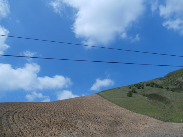
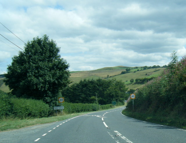
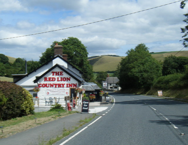
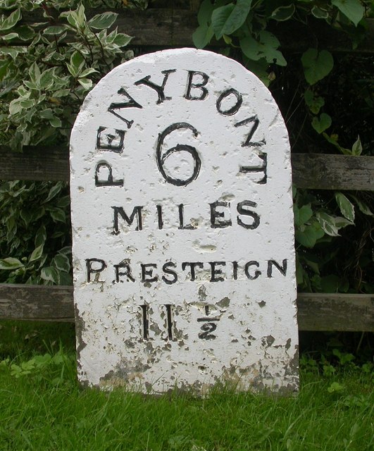
Hanover Pool Images

Images are sourced within 2km of 52.213614/-3.2173156 or Grid Reference SO1657. Thanks to Geograph Open Source API. All images are credited.

Llynheilyn pool, near to Llanfihangel- Nant-Melan View looking South-East over Llynheilyn pool from the pull in off the A481 from Llanfihangel-Nant-Melan to Hundred House Road in Powys
Llynheilyn pool, near to Llanfihangel- Nant-Melan
View looking South-East over Llynheilyn pool from the pull in off the A481 from Llanfihangel-Nant-Melan to Hundred House Road in Powys
Llanwenny Farm
Llanwenny Farm
Ploughed side of Mynd
The A44 heading for New Radnor Nearing the end of a stretch with many sharp bends.
The A44 heading for New Radnor
Nearing the end of a stretch with many sharp bends.
Llynheilyn Llynheilyn lake near Fforest Inn off the A44
Llynheilyn
Llynheilyn lake near Fforest Inn off the A44
Ford by the lake Till I looked at the map I never realised that this was a ford at Llynheilyn
Ford by the lake
Till I looked at the map I never realised that this was a ford at Llynheilyn
Snow Bridge I think the recent snow formed a snow bridge over the stream that runs off from Llynheilyn
Snow Bridge
I think the recent snow formed a snow bridge over the stream that runs off from Llynheilyn
Water from Llynheilyn The water running off from Llynheilyn lake
Water from Llynheilyn
The water running off from Llynheilyn lake
Water on the track The water running off from Llynheilyn lake across the ford
Water on the track
The water running off from Llynheilyn lake across the ford
Snow on Llyn-Heilyn The snow still left on the side of Llyn-Heilyn
Snow on Llyn-Heilyn
The snow still left on the side of Llyn-Heilyn
A44 north of The Van
A44 near Caebanol
A44 near Caebanol
A44 at Llanfihangel-Nant-Melan village boundary
A44 at The Red Lion, Llanfihangel-nant-Melan
Old Milestone by the A44, Llanfihangel-Nant-Melan, New Radnor Parish By the A44, in parish of New Radnor (Powys District), Llanfihangel-Nant-Melan, in front of New House next to Red Lion Inn on verge, North side of road.

Inscription reads:-
PENYBONT
6
MILES
PRESTEIGN
11½ 

Grade II listed by Cadw. Reference Number: 9261 
<span class="nowrap"><a title="https://cadwpublic-api.azurewebsites.net/reports/listedbuilding/FullReport?lang=&id=9261" rel="nofollow ugc noopener" href="https://cadwpublic-api.azurewebsites.net/reports/listedbuilding/FullReport?lang=&id=9261">Link</a><img style="margin-left:2px;" alt="External link" title="External link - shift click to open in new window" src="https://s1.geograph.org.uk/img/external.png" width="10" height="10"/></span>

Surveyed

Milestone Society National ID: RAD_PBPR06
Old Milestone by the A44, Llanfihangel-Nant-Melan, New Radnor Parish
By the A44, in parish of New Radnor (Powys District), Llanfihangel-Nant-Melan, in front of New House next to Red Lion Inn on verge, North side of road. Inscription reads:- PENYBONT 6 MILES PRESTEIGN 11½ Grade II listed by Cadw. Reference Number: 9261 LinkExternal link Surveyed Milestone Society National ID: RAD_PBPR06
Old Milestone by the A44, Llanfihangel-Nant-Melan By the A44, in parish of New Radnor (Powys District). North side of road, in front of New House. Possibly the original milestone, subsequently replaced by a copy of a different style: <a href="https://www.geograph.org.uk/photo/6043119">SO1858 : Old Milestone by the A44, Llanfihangel-Nant-Melan, New Radnor Parish</a>

Inscription reads:-
PENYBONT
6 MILES
PRESTEIGN
11½
Carved bench mark below inscription.

Grade II listed by Cadw.
Reference Number: 9261 <span class="nowrap"><a title="https://cadwpublic-api.azurewebsites.net/reports/listedbuilding/FullReport?lang=&id=9261" rel="nofollow ugc noopener" href="https://cadwpublic-api.azurewebsites.net/reports/listedbuilding/FullReport?lang=&id=9261">Link</a><img style="margin-left:2px;" alt="External link" title="External link - shift click to open in new window" src="https://s1.geograph.org.uk/img/external.png" width="10" height="10"/></span>

Surveyed

Milestone Society National ID: RAD_PBPR06A
Old Milestone by the A44, Llanfihangel-Nant-Melan
By the A44, in parish of New Radnor (Powys District). North side of road, in front of New House. Possibly the original milestone, subsequently replaced by a copy of a different style: SO1858 : Old Milestone by the A44, Llanfihangel-Nant-Melan, New Radnor Parish Inscription reads:- PENYBONT 6 MILES PRESTEIGN 11½ Carved bench mark below inscription. Grade II listed by Cadw. Reference Number: 9261 LinkExternal link Surveyed Milestone Society National ID: RAD_PBPR06A
Old Milestone by the A481, near Pool Farm, New Radnor parish Stone post by the A481, in parish of New Radnor (Powys District), near Pool Farm, 25m West of Foice Farm road on embankment behind ditch, in front of telegraph pole.

Inscription reads:-
BUILTH
10
MILES
KINGTON
10
MILES

Grade II listed by Cadw.
Reference Number: 9269 <span class="nowrap"><a title="https://cadwpublic-api.azurewebsites.net/reports/listedbuilding/FullReport?lang=&id=9269" rel="nofollow ugc noopener" href="https://cadwpublic-api.azurewebsites.net/reports/listedbuilding/FullReport?lang=&id=9269">Link</a><img style="margin-left:2px;" alt="External link" title="External link - shift click to open in new window" src="https://s1.geograph.org.uk/img/external.png" width="10" height="10"/></span>

Surveyed

Milestone Society National ID: RAD_BUKT10
Old Milestone by the A481, near Pool Farm, New Radnor parish
Stone post by the A481, in parish of New Radnor (Powys District), near Pool Farm, 25m West of Foice Farm road on embankment behind ditch, in front of telegraph pole. Inscription reads:- BUILTH 10 MILES KINGTON 10 MILES Grade II listed by Cadw. Reference Number: 9269 LinkExternal link Surveyed Milestone Society National ID: RAD_BUKT10
Old Milestone by the A481, southwest of Llanwenny, New Radnor parish Stone post by the A481, in parish of New Radnor (Powys District), in road verge about 500m Southwest of Llanwenny - Llanwenny Milestone.

Inscription reads:-
BUILTH
9
MILES
KINGTON
11
MILES
Carved bench mark on right face

Grade II listed by Cadw.
Reference Number: 9262 <span class="nowrap"><a title="https://cadwpublic-api.azurewebsites.net/reports/listedbuilding/FullReport?lang=&id=9262" rel="nofollow ugc noopener" href="https://cadwpublic-api.azurewebsites.net/reports/listedbuilding/FullReport?lang=&id=9262">Link</a><img style="margin-left:2px;" alt="External link" title="External link - shift click to open in new window" src="https://s1.geograph.org.uk/img/external.png" width="10" height="10"/></span>

Surveyed.

Milestone Society National ID: RAD_BUKT09
Old Milestone by the A481, southwest of Llanwenny, New Radnor parish
Stone post by the A481, in parish of New Radnor (Powys District), in road verge about 500m Southwest of Llanwenny - Llanwenny Milestone. Inscription reads:- BUILTH 9 MILES KINGTON 11 MILES Carved bench mark on right face Grade II listed by Cadw. Reference Number: 9262 LinkExternal link Surveyed. Milestone Society National ID: RAD_BUKT09
Show me another place!

Hanover Pool is located at Grid Ref: SO1657 (Lat: 52.213614, Lng: -3.2173156)

Unitary Authority: Powys

Police Authority: Dyfed Powys

What 3 Words

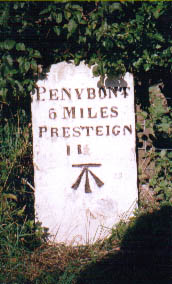
///healthier.friction.keyboards. Near Penybont, Powys

Nearby Locations

Hanover Pool

Related Wikis

Llanfihangel Nant Melan

Llanfihangel Nant Melan is a small village in Powys, Wales, in the ancient county of Radnorshire. It is around 7 miles (11 km) from the English border...

Crug Eryr Castle

Crug Eryr Castle (Castell Crug Eryr) was a motte and bailey-style castle located atop a hill adjacent to the A44 about 2 miles northwest of Llanfihangel...

Gwaunceste Hill

Gwaunceste Hill (Welsh: Bryn Gwaun-cest) is a 542-metre-high hill in the county of Powys in east Wales. It falls within the communities of Gladestry and...

Radnorshire

Until 1974, Radnorshire (Welsh: Sir Faesyfed) was an administrative county in mid Wales, later classed as one of the thirteen historic counties of Wales...

Nearby Amenities

Located within 500m of 52.213614,-3.2173156
Place: farm
Lat/Long: 52.2135164/-3.2193392
Parking
Lat/Long: 52.2156334/-3.2224488
Power: pole
Lat/Long: 52.2180879/-3.2165869
Power: pole
Lat/Long: 52.2177272/-3.2151264
Power: pole
Lat/Long: 52.2174511/-3.2138819
The data included in this document is from www.openstreetmap.org. The data is made available under ODbL.

Have you been to Hanover Pool?

Leave your review of Hanover Pool below (or comments, questions and feedback).