Mill Scar
Coastal Marsh, Saltings in Lancashire Barrow-in-Furness
England
Mill Scar
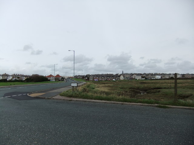
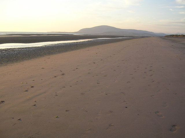
Mill Scar is a coastal marsh located in Lancashire, England. It is renowned for its unique and diverse ecosystem, primarily comprising of extensive salt marshes and saltings. Situated along the coast of the Irish Sea, the area stretches for approximately 2 miles between the towns of Barrow-in-Furness and Morecambe.
The marshland of Mill Scar is characterized by its vast expanse of salt-tolerant plants, such as samphire, sea lavender, and saltmarsh grasses. These plants thrive in the brackish water found in the area, which is a result of the mixture of freshwater from the surrounding rivers and the saltwater from the sea. This mixture creates a unique habitat for various species of birds, insects, and marine life.
The presence of numerous tidal creeks and channels within Mill Scar further enhances its ecological significance. These waterways provide a rich feeding ground for a wide range of wading birds, including curlews, redshanks, and oystercatchers. In addition to the avian species, the marsh is also home to various mammals such as rabbits and voles, which utilize the vegetation for cover and food.
Mill Scar is a designated Site of Special Scientific Interest (SSSI), highlighting its importance for conservation. The site is managed by the local authorities to preserve its delicate balance and protect the diverse range of species that call it home.
Visitors to Mill Scar can enjoy the natural beauty of the marshland through various walking trails and observation points. The area provides an opportunity to witness the fascinating interactions between land and sea, as well as observe the abundant birdlife in their natural habitat.
If you have any feedback on the listing, please let us know in the comments section below.
Mill Scar Images
Images are sourced within 2km of 54.106402/-3.2706862 or Grid Reference SD1768. Thanks to Geograph Open Source API. All images are credited.


Mill Scar is located at Grid Ref: SD1768 (Lat: 54.106402, Lng: -3.2706862)
Administrative County: Cumbria
District: Barrow-in-Furness
Police Authority: Cumbria
What 3 Words
///invite.shunts.tracks. Near Barrow in Furness, Cumbria
Nearby Locations
Related Wikis

Walney School
Walney School is a secondary school on Walney Island in Barrow-in-Furness, Cumbria. As a result of the Education Act 1944, Walney Island needed to have...
Vickerstown
Vickerstown is an area of Barrow-in-Furness, Cumbria, England, covered by the wards of Walney North and Walney South. It is an example of a model village...

Walney Island
Walney Island, also known as the Isle of Walney, is an island off the west coast of England, at the western end of Morecambe Bay in the Irish Sea. Within...
Earnse Bay
Earnse Bay (also known as 'West Shore') is a sand and shingle beach located along the western side of Walney Island in the Borough of Barrow-in-Furness...
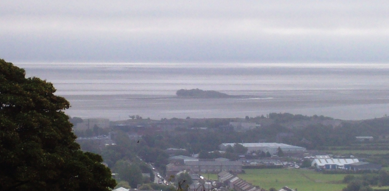
Islands of Furness
The Islands of Furness are situated to the south-west and east of the Furness Peninsula. Within England, they are the third biggest collection of islands...

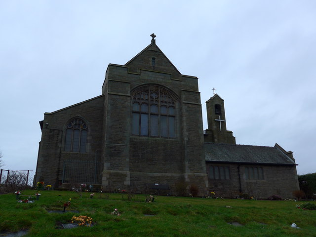
St Mary the Virgin's Church, Walney
St Mary the Virgin's Church is located on the Promenade, Walney Island, Barrow-in-Furness. Cumbria, England. It is an active Anglican parish church in...
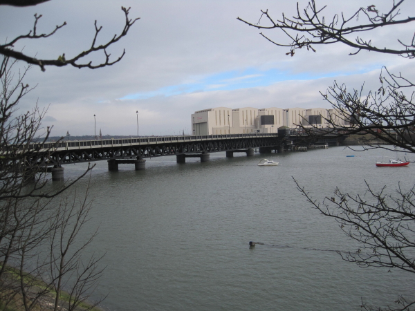
Walney Bridge
Walney Bridge, officially Jubilee Bridge, is a bascule bridge in Barrow-in-Furness, Cumbria, England. Completed in 1908, it spans Walney Channel, linking...
North Scale
North Scale is a village and one of only four settlements on the Isle of Walney, Cumbria, England. It is the northernmost settlement, lying a mile north...
Nearby Amenities
Located within 500m of 54.106402,-3.2706862Have you been to Mill Scar?
Leave your review of Mill Scar below (or comments, questions and feedback).