Cardurnock Flatts
Coastal Marsh, Saltings in Cumberland Allerdale
England
Cardurnock Flatts
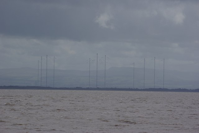
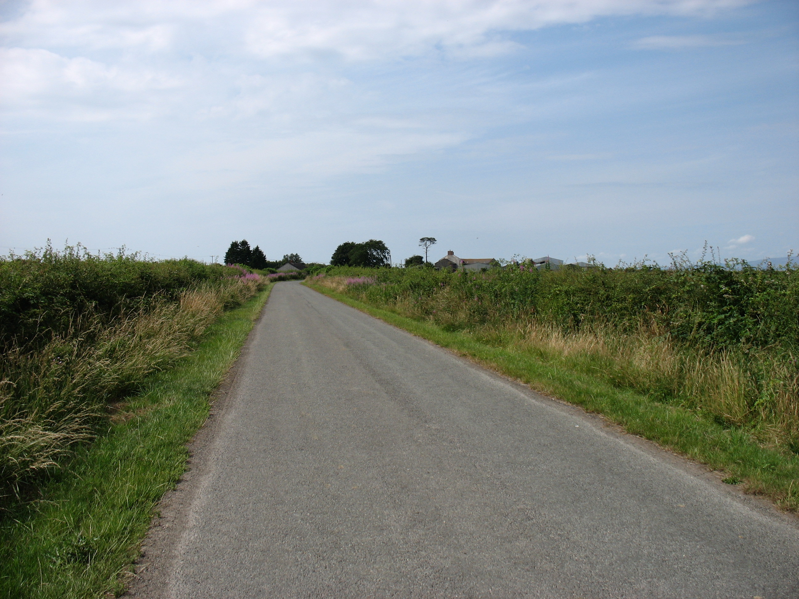
Cardurnock Flatts is a picturesque coastal marsh located in Cumberland, England. Nestled along the coast, this area is known for its stunning views and unique ecosystem. With its vast expanse of salt marshes and saltings, Cardurnock Flatts is a haven for wildlife and a popular spot for nature enthusiasts.
The marshes of Cardurnock Flatts are teeming with diverse species of plants and animals. The salt marshes, which are flooded by the tides, provide a fertile habitat for a variety of flora, including sea lavender, cordgrass, and sea purslane. These plants not only add beauty to the landscape but also serve as a crucial food source and nesting site for numerous bird species.
Speaking of birds, Cardurnock Flatts is a paradise for birdwatchers. The marshes attract a wide range of avian visitors, including herons, curlews, oystercatchers, and various species of ducks and geese. With its tranquil environment and ample food supply, the area is an important breeding ground for many birds.
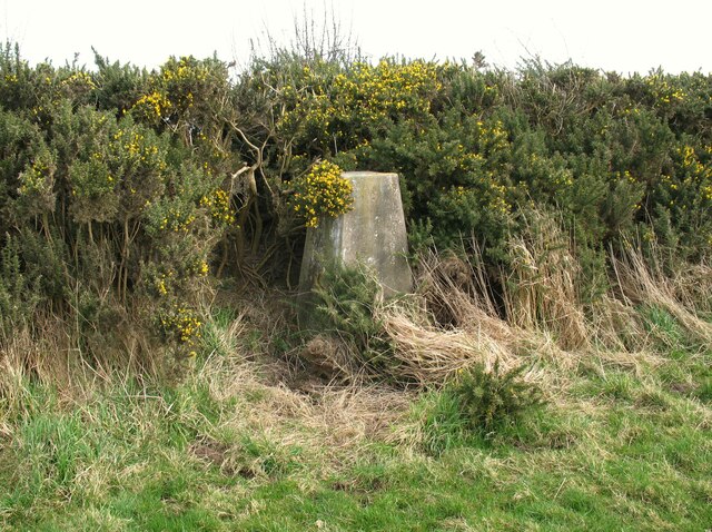
Aside from its natural beauty, Cardurnock Flatts also holds historical significance. The area has witnessed human activity for centuries, dating back to the Roman period. Remains of ancient settlements and structures have been discovered in the vicinity, offering a glimpse into the rich history of the region.
Overall, Cardurnock Flatts is a captivating coastal marsh that showcases the beauty of Cumberland's natural landscapes. Whether it's exploring the diverse flora and fauna or immersing oneself in the area's history, visitors are sure to be captivated by this unique and enchanting location.
If you have any feedback on the listing, please let us know in the comments section below.
Cardurnock Flatts Images
Images are sourced within 2km of 54.9289/-3.3039312 or Grid Reference NY1660. Thanks to Geograph Open Source API. All images are credited.


Cardurnock Flatts is located at Grid Ref: NY1660 (Lat: 54.9289, Lng: -3.3039312)
Administrative County: Cumbria
District: Allerdale
Police Authority: Cumbria
What 3 Words
///scribbled.lasted.nimbly. Near Annan, Dumfries & Galloway
Nearby Locations
Related Wikis

Milefortlet 4
Milefortlet 4 (Herd Hill) was a Milefortlet of the Roman Cumbrian Coast defences. These milefortlets and intervening stone watchtowers extended from the...

Milefortlet 5
Milefortlet 5 (Cardurnock) was a Milefortlet of the Roman Cumbrian Coast defences. These milefortlets and intervening stone watchtowers extended from...
Milefortlet 3
Milefortlet 3 (Pasture House) was a Milefortlet of the Roman Cumbrian Coast defences. These milefortlets and intervening stone watchtowers extended from...

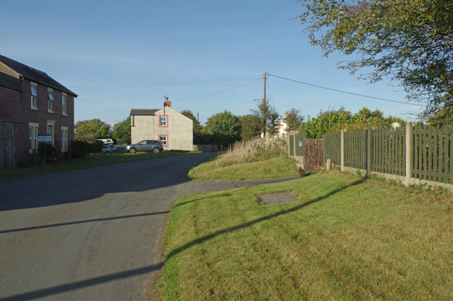
Cardurnock
Cardurnock is a small settlement in Cumbria, England. It is by the coast, 20 kilometres (12 mi) west of Carlisle. The western extension of the Hadrian...
Have you been to Cardurnock Flatts?
Leave your review of Cardurnock Flatts below (or comments, questions and feedback).