Duddon Sands

Coastal Marsh, Saltings in Cumberland Copeland

England

Duddon Sands

Haverigg Beach
Haverigg Beach Credit: Colin Pyle

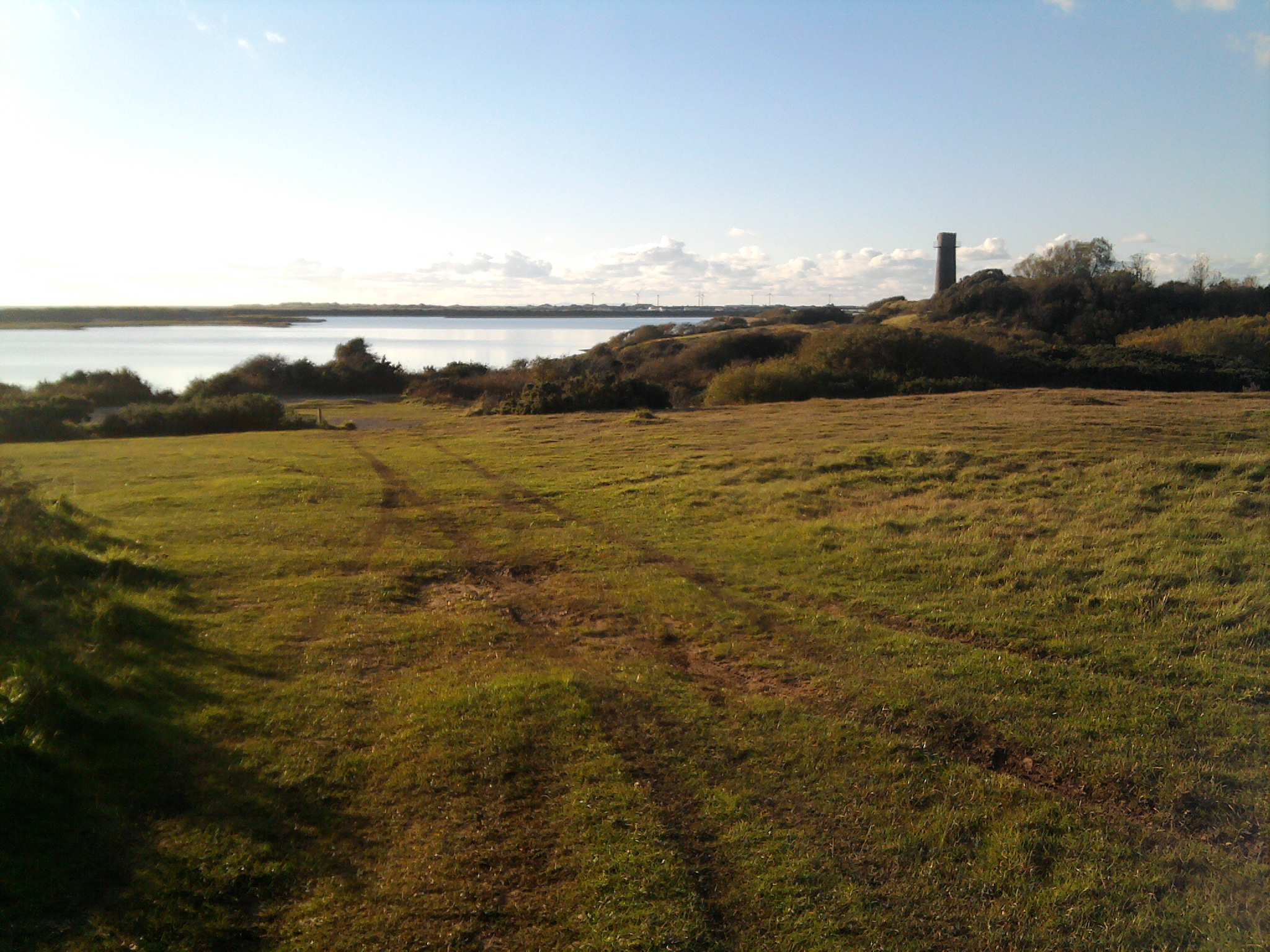
Duddon Sands is a coastal marsh and saltings area located in Cumberland, England. It stretches along the Duddon Estuary, which is the border between Cumbria and Lancashire. This nature reserve is internationally recognized for its ecological importance and is protected under various conservation designations.

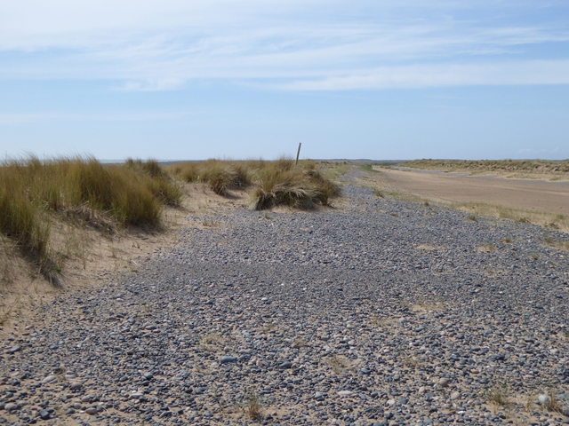
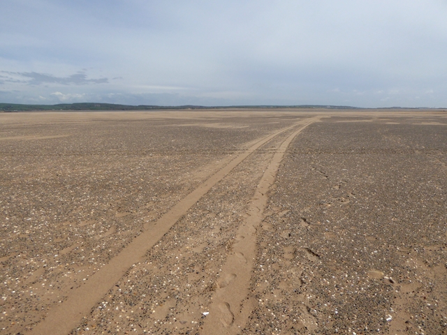
The marshes of Duddon Sands are characterized by their vast expanses of saltmarsh vegetation, which thrive in the intertidal zone where freshwater from the Duddon River meets the tidal waters of the Irish Sea. The area is home to a diverse range of plant species, including sea lavender, sea aster, and glasswort, which have adapted to survive in the saline environment.

The marshes provide a vital habitat for many bird species, particularly during the winter months when migrating birds seek refuge here. The reserve is an important feeding and roosting site for wading birds such as curlews, redshanks, and oystercatchers. It is also known to support a significant population of Brent geese, which travel here from Arctic breeding grounds.

In addition to its avian inhabitants, Duddon Sands is a haven for marine life. The intertidal mudflats provide a rich feeding ground for invertebrates, which attract wading birds and other wildlife. Common seals can often be spotted hauling themselves out onto the sandbanks at low tide.

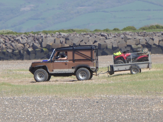
Visitors to Duddon Sands can explore the reserve via a network of footpaths and bird hides, allowing for a closer observation of the diverse flora and fauna. The reserve offers a tranquil environment for nature enthusiasts and provides an opportunity to appreciate the unique beauty of this coastal marsh and saltings area.

If you have any feedback on the listing, please let us know in the comments section below.

Duddon Sands Images

Images are sourced within 2km of 54.187363/-3.278701 or Grid Reference SD1677. Thanks to Geograph Open Source API. All images are credited.

Haverigg Beach
Haverigg Beach
Main Street, Haverigg
Hodbarrow Lighthouse on the Outer Barrier Established in 1905, Hodbarrow (Haverigg) Lighthouse sits on the Outer Barrier created for the former Hodbarrow Mines.

This photograph was taken during the Coronavirus (COVID-19) pandemic of 2020/21.
Hodbarrow Lighthouse on the Outer Barrier
Established in 1905, Hodbarrow (Haverigg) Lighthouse sits on the Outer Barrier created for the former Hodbarrow Mines. This photograph was taken during the Coronavirus (COVID-19) pandemic of 2020/21.
The Front housing Pastel rendered housing with sea defences
The Front housing
Pastel rendered housing with sea defences
Escape to Light Sculpture With the inshore rescue centre behind to the right
Escape to Light Sculpture
With the inshore rescue centre behind to the right
Duddon Sands from the air Haverigg is on the right, Sandscale Haws on the left.
Duddon Sands from the air
Haverigg is on the right, Sandscale Haws on the left.
Rusting and Waiting Iron pulley wheels on the Hodbarrow New Sea Wall that have remained idle since the completion of the defence in 1905. 
Wind turbines can be seen on the southside of the Duddon Estuary.
Rusting and Waiting
Iron pulley wheels on the Hodbarrow New Sea Wall that have remained idle since the completion of the defence in 1905. Wind turbines can be seen on the southside of the Duddon Estuary.
Old Powder Store The old wind mill on Hodbarrow Point was reused by the iron miners to store their black powder between 1855 and 1880 when a new facility was built. Despite its ruined state, there is no record of it being damaged by explosion, so it must be time that is causing it crumble.
Old Powder Store
The old wind mill on Hodbarrow Point was reused by the iron miners to store their black powder between 1855 and 1880 when a new facility was built. Despite its ruined state, there is no record of it being damaged by explosion, so it must be time that is causing it crumble.
The mouth of the Duddon estuary Looking west from over Ulverston, with Dalton-in-Furness at lower left, the tip of Walney Island and airfield at upper left, and Haverigg and the Hodbarrow Lagoon on the right.
The mouth of the Duddon estuary
Looking west from over Ulverston, with Dalton-in-Furness at lower left, the tip of Walney Island and airfield at upper left, and Haverigg and the Hodbarrow Lagoon on the right.
Cumbria : Duddon Sands Looking down towards Duddon Sands on the Cumbria coastline as a plane from Heathrow heads to Iceland.
Cumbria : Duddon Sands
Looking down towards Duddon Sands on the Cumbria coastline as a plane from Heathrow heads to Iceland.
Bullstone Bed at Haverigg A sandy spit west of the Outer Barrier surrounding the lagoon. Looking west from over Furness.
Bullstone Bed at Haverigg
A sandy spit west of the Outer Barrier surrounding the lagoon. Looking west from over Furness.
Steel Green, Haverigg Looking west from over Furness, with Millom at lower right.
Steel Green, Haverigg
Looking west from over Furness, with Millom at lower right.
Lone figure on the sands On the vast tidal sands of Bullstone Bed, a lone dog walker (two dogs out of frame). In the background, just a few of the more than 200 offshore wind turbines in this part of the Irish Sea.
Lone figure on the sands
On the vast tidal sands of Bullstone Bed, a lone dog walker (two dogs out of frame). In the background, just a few of the more than 200 offshore wind turbines in this part of the Irish Sea.
Shingle and new dunes The beach at Wortbrig Scar is being occupied by shingle ridges topped with young sand dunes and covered with marram grass.
Shingle and new dunes
The beach at Wortbrig Scar is being occupied by shingle ridges topped with young sand dunes and covered with marram grass.
Sand ripples on Wortbrig Scar A lone  dog walker in the distance.
Sand ripples on Wortbrig Scar
A lone dog walker in the distance.
All terrain vehicle on Haverigg Bank The 4x4 is equipped to drive through deep water with a quad bike in the trailer. Beyond is the Outer Barrier of the Hodbarrow Lagoon.
All terrain vehicle on Haverigg Bank
The 4x4 is equipped to drive through deep water with a quad bike in the trailer. Beyond is the Outer Barrier of the Hodbarrow Lagoon.
Sand ripples and shallow channel on Hodbarrow Bank The tide goes out a long way in Morecambe Bay.
Sand ripples and shallow channel on Hodbarrow Bank
The tide goes out a long way in Morecambe Bay.
Vehicle tracks on Hodbarrow Bank The tide goes out a long way in Morecambe Bay.
Vehicle tracks on Hodbarrow Bank
The tide goes out a long way in Morecambe Bay.
Show me another place!

Duddon Sands is located at Grid Ref: SD1677 (Lat: 54.187363, Lng: -3.278701)

Administrative County: Cumbria

District: Copeland

Police Authority: Cumbria

What 3 Words

///locate.keen.irritated. Near Haverigg, Cumbria

Nearby Locations

Duddon Sands

Related Wikis

Haverigg

Haverigg is a village on the south-west coast of Cumbria, England, historically part of the county of Cumberland. In 2001 it had a population of 1,791...

Hodbarrow RSPB reserve

Hodbarrow RSPB Reserve is a nature reserve run by the Royal Society for the Protection of Birds (RSPB) on the edge of the Lake District National Park in...

St George's Church, Millom

St George's Church is in the town of Millom, Cumbria, England. It is an active Anglican parish church in the deanery of Furness, the archdeaconry of Westmoreland...

Millom Rural District

Millom was a rural district in Cumberland in England from 1934 to 1974. It was formed by a County Review Order in 1934 by the merger of the Millom urban...

Have you been to Duddon Sands?

Leave your review of Duddon Sands below (or comments, questions and feedback).