New Harbour
Coastal Marsh, Saltings in Fife
Scotland
New Harbour

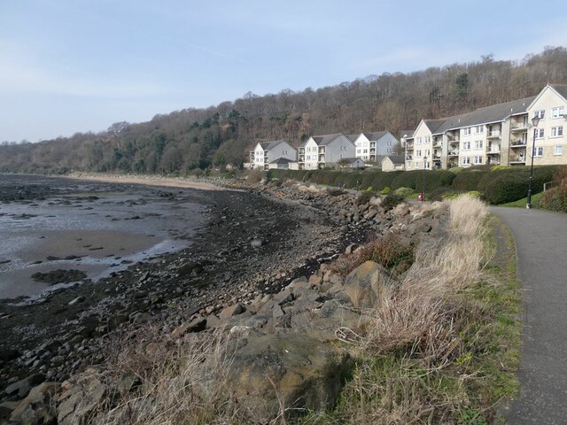
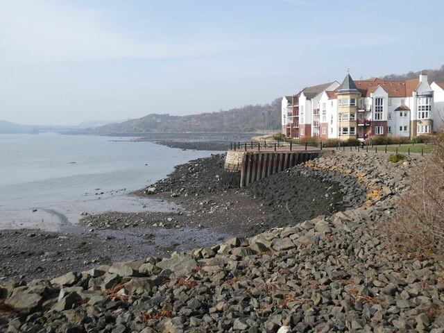
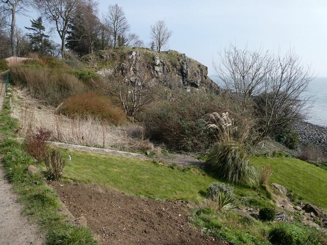
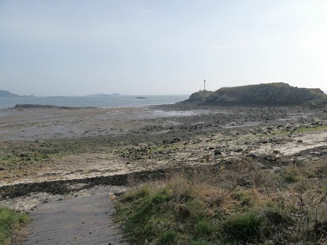
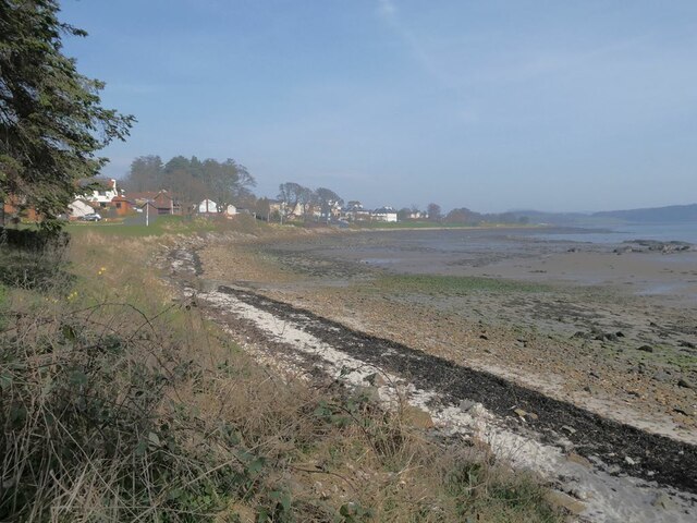
New Harbour is a coastal marshland located in the county of Fife, Scotland. Situated alongside the North Sea, this vast expanse of salt marshes and saltings is a unique and ecologically important area. It covers an approximate area of several square kilometers and is known for its diverse range of flora and fauna.
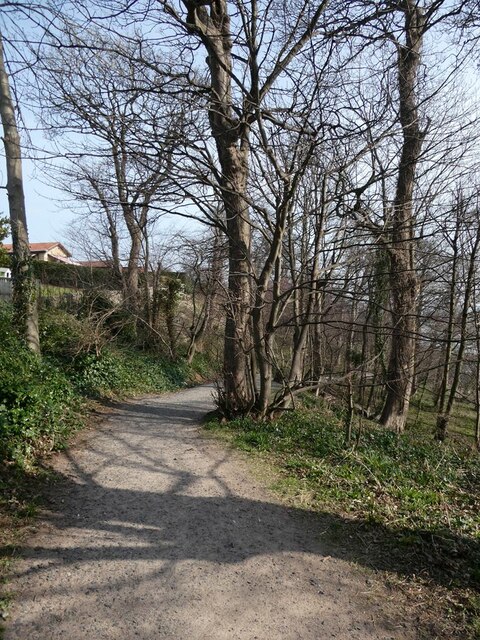
The landscape of New Harbour is characterized by its low-lying, marshy terrain, with large areas of mudflats and salt pans. The marshes are predominantly covered in salt-tolerant grasses and sedges, such as sea lavender and saltmarsh grass, creating a visually stunning sight. The area is also home to a variety of plant species, including sea aster, sea purslane, and sea milkwort.
This coastal marshland is a haven for many bird species, both resident and migratory. It provides an important breeding ground and wintering habitat for several species, including waders like redshanks, dunlins, and curlews. The mudflats and salt pans attract countless waterfowl, such as ducks, geese, and swans, making it a popular spot for birdwatchers.
New Harbour is also of archaeological interest, with historical records suggesting that it was once a bustling trading port during the medieval period. The remnants of a small harbor can still be seen, providing insights into the area's past maritime activities.
Due to its ecological significance, efforts have been made to protect and conserve the New Harbour marshland. It is designated as a Site of Special Scientific Interest (SSSI) and is managed by local authorities and conservation organizations. The area is accessible to the public, allowing visitors to admire its natural beauty and observe its diverse wildlife.
If you have any feedback on the listing, please let us know in the comments section below.
New Harbour Images
Images are sourced within 2km of 56.032045/-3.3450899 or Grid Reference NT1682. Thanks to Geograph Open Source API. All images are credited.


New Harbour is located at Grid Ref: NT1682 (Lat: 56.032045, Lng: -3.3450899)
Unitary Authority: Fife
Police Authority: Fife
What 3 Words
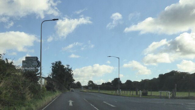
///wiggling.varieties.descended. Near Dalgety Bay, Fife
Nearby Locations
Related Wikis
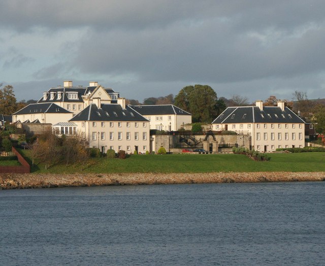
Donibristle
Donibristle (Scots: also Dunibirsle) was a house and estate in Fife, Scotland, on the coast of the Firth of Forth. Only the wings of the house remain,...

RNAS Donibristle (HMS Merlin)
Royal Naval Air Station Donibristle or more simply RNAS Donibristle is a former Fleet Air Arm base located 2.7 miles (4.3 km) east of Rosyth, Fife, and...

St Bridget's Kirk
St. Bridget's Kirk is a ruined church on the outskirts of Dalgety Bay, Fife, Scotland. It is a shell of a medieval church, dating back at least as far...

Dalgety Bay railway station
Dalgety Bay railway station serves the town of Dalgety Bay in Fife, Scotland. Lying on the Fife Circle and EdinburghーDundee lines, it is managed by ScotRail...

Dalgety Bay
Dalgety Bay ( ) is a coastal town and parish in Fife, Scotland. According to Fife Council, the town is home to , making this the eighth-largest place...
Hillend, Fife
Hillend is a small village in Fife, Scotland. It is located roughly to the north-west of Dalgety Bay. It is the location of Heil's manufacturing facilities...
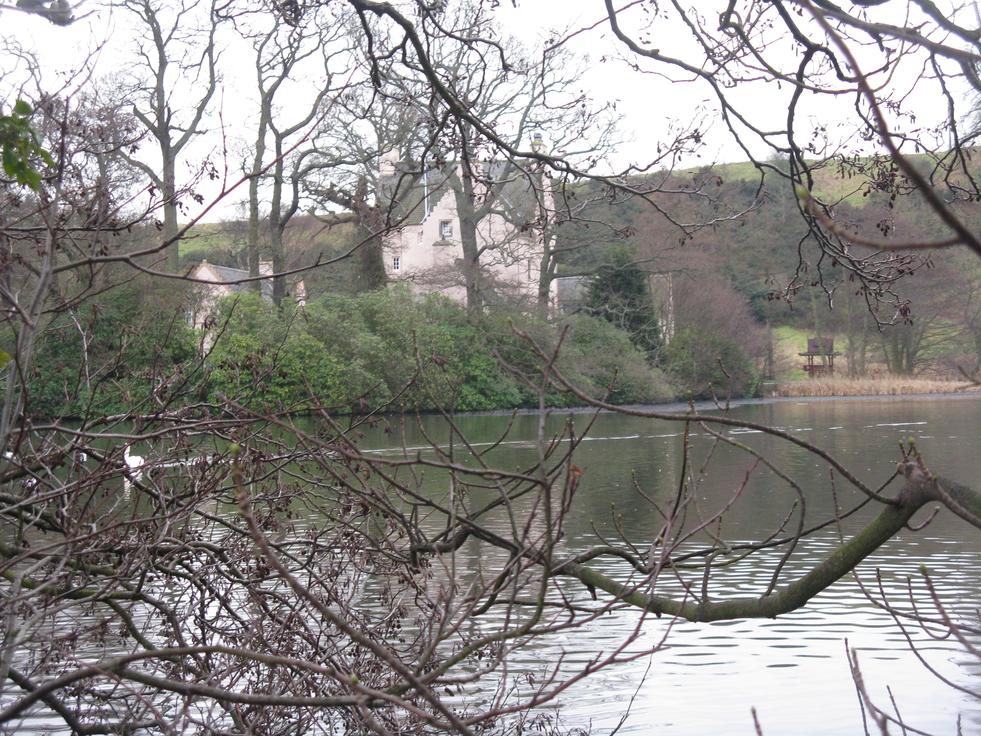
Couston Castle
Couston Castle is an L-plan tower house dating from the late sixteenth or early seventeenth centuries, just north east of Dalgety Bay, at the edge of Otterston...

Inverkeithing High School
Inverkeithing High School is a secondary school located in Inverkeithing, a historic former port town on the Fife coast. The existing building dates from...
Nearby Amenities
Located within 500m of 56.032045,-3.3450899Have you been to New Harbour?
Leave your review of New Harbour below (or comments, questions and feedback).