Barrow Marsh
Coastal Marsh, Saltings in Cumberland Copeland
England
Barrow Marsh

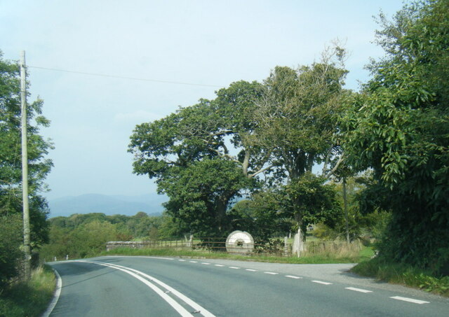
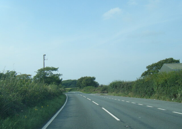
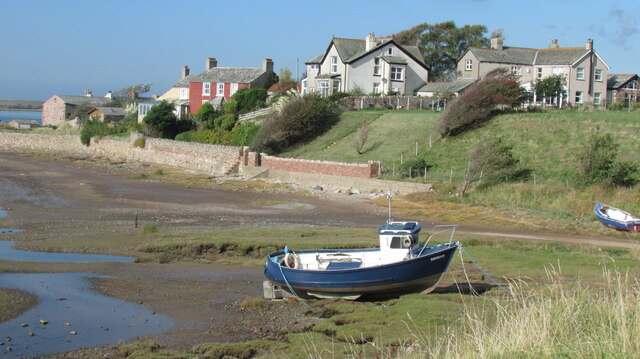
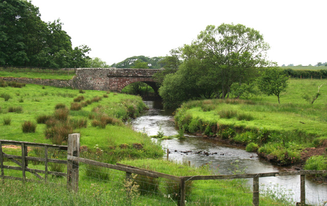
Barrow Marsh, located in Cumberland, is a stunning coastal marshland characterized by its unique ecosystem and diverse wildlife. Stretching along the rugged coastline, this marshland is a perfect example of a salt marsh or salting, which is a type of wetland that is regularly flooded and influenced by the tides.
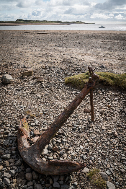
The marshland is an expansive area of low-lying land covered with grasses, sedges, and other salt-tolerant plants. The grasses play a crucial role in stabilizing the marshland and preventing erosion. The constant ebb and flow of seawater create a dynamic environment, with the marshes being alternately submerged and exposed during tidal cycles.
The rich and fertile mudflats of Barrow Marsh are home to a wide range of plant and animal species. These include saltmarsh grasses, sea lavender, sea purslane, and samphire, which thrive in the brackish water and provide a habitat for numerous invertebrates, birds, and small mammals. The marshes are particularly vital for migratory birds, providing them with feeding and resting grounds during their long journeys.
The marshland also serves as a natural buffer against coastal erosion and storm surges, absorbing and dissipating the energy of the waves. It acts as a barrier that protects the inland areas from the destructive force of the sea, making it an essential feature for the local coastal communities.
Barrow Marsh offers visitors a chance to experience the beauty and tranquility of a coastal marshland. With its stunning vistas, abundant wildlife, and ecological significance, it is a haven for nature enthusiasts and an important area for scientific research and conservation efforts.
If you have any feedback on the listing, please let us know in the comments section below.
Barrow Marsh Images
Images are sourced within 2km of 54.362083/-3.4029681 or Grid Reference SD0897. Thanks to Geograph Open Source API. All images are credited.


Barrow Marsh is located at Grid Ref: SD0897 (Lat: 54.362083, Lng: -3.4029681)
Administrative County: Cumbria
District: Copeland
Police Authority: Cumbria
What 3 Words
///ahead.skirting.vanilla. Near Seascale, Cumbria
Nearby Locations
Related Wikis
River Mite
The River Mite is a river in the county of Cumbria in northern England. The valley through which the river Mite runs is called Miterdale. The name Mite...

Muncaster War Memorial
Muncaster War Memorial is a First World War memorial in the parish of Muncaster on the west coast of Cumbria in the far north-west of England. The memorial...

Muncaster Mill railway station
Muncaster Mill railway station is a railway station on the 15 in (381 mm) gauge Ravenglass & Eskdale Railway in Cumbria, England. The station is located...
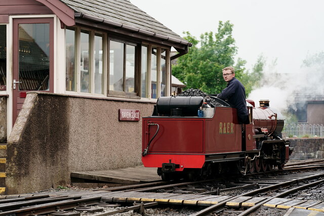
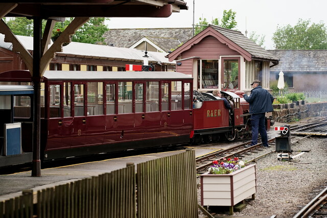
Ravenglass (R&ER) railway station
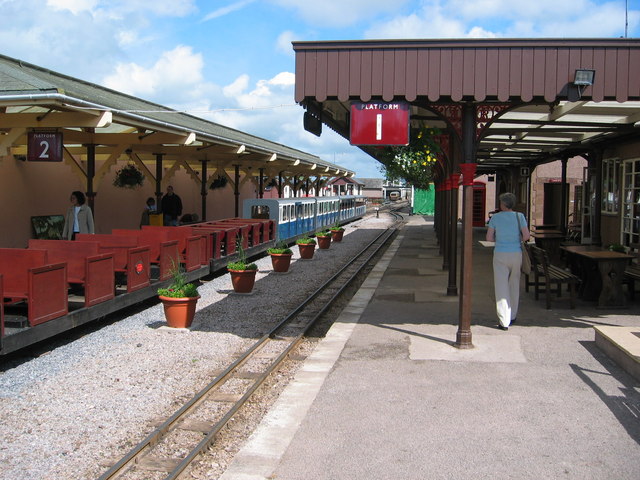
Ravenglass Heritage Railway Station is the Western terminus of the Ravenglass and Eskdale Railway. It is situated to the east of Ravenglass main line railway...

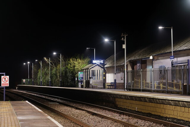
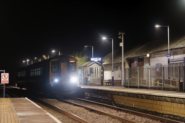
Ravenglass railway station
Ravenglass (also known as Ravenglass for Eskdale) is a railway station on the Cumbrian Coast Line, which runs between Carlisle and Barrow-in-Furness. The...
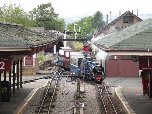
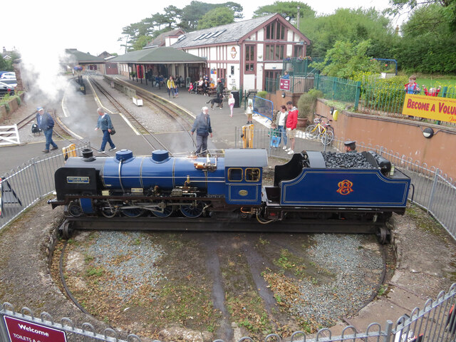
Ravenglass and Eskdale Railway
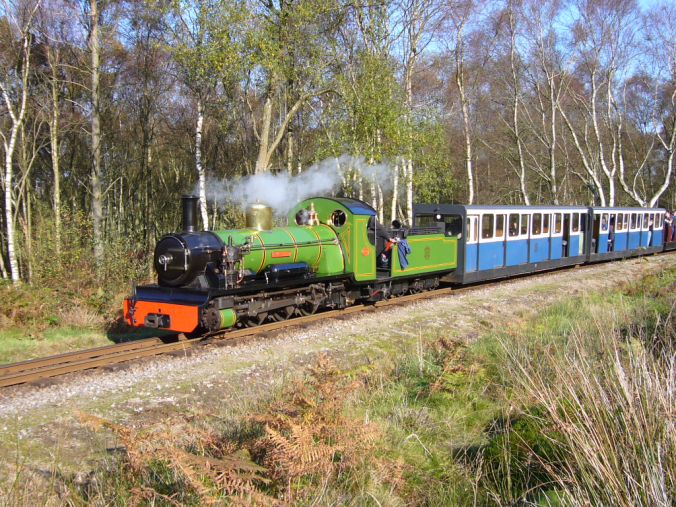
The Ravenglass and Eskdale Railway is a 15 in (381 mm) minimum gauge heritage railway in Cumbria, England. The 7-mile (11.3 km) line runs from Ravenglass...

River Irt
The River Irt is a river in the county of Cumbria in northern England. It flows for 14 miles (22 km) from the south-western end of Wast Water, the deepest...
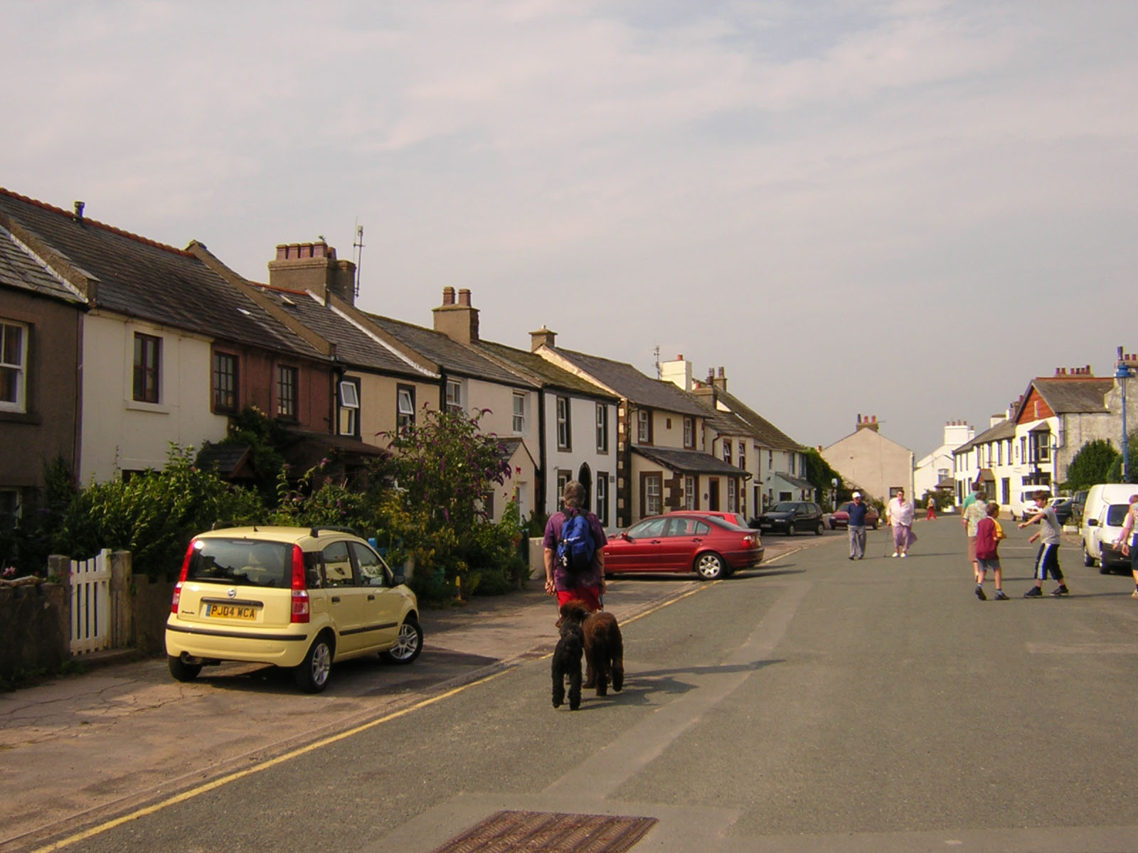
Ravenglass
Ravenglass is a coastal village in Cumberland, Cumbria, England. It is between Barrow-in-Furness and Whitehaven. Historically in Cumberland, it is the...
Nearby Amenities
Located within 500m of 54.362083,-3.4029681Have you been to Barrow Marsh?
Leave your review of Barrow Marsh below (or comments, questions and feedback).