Newbiggin Marsh
Coastal Marsh, Saltings in Cumberland Copeland
England
Newbiggin Marsh

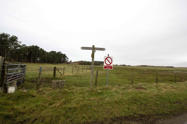
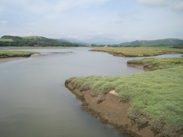
Newbiggin Marsh is a coastal marsh located in Cumberland, England. Situated near the village of Newbiggin, this marsh is a significant natural feature that plays a crucial role in the local ecosystem. It is characterized by its extensive salt marshes and saltings, making it a unique and valuable habitat.
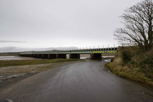
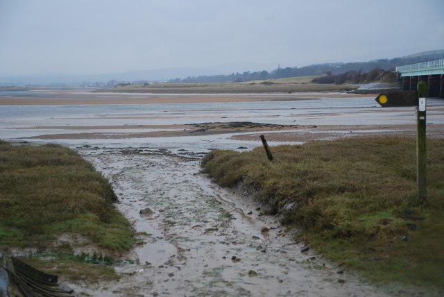
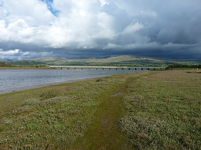
The marsh is situated along the coast of the Solway Firth, an estuary that separates England from Scotland. This location provides the marsh with a diverse range of plants and animal species that thrive in the saltwater environment. The marsh is subject to tidal flooding, which creates a dynamic and ever-changing landscape.
The vegetation of Newbiggin Marsh is predominantly salt-tolerant, with plants such as salt marsh grasses, samphire, and sea lavender being common. These plants not only provide habitat and food sources for a variety of bird species but also help stabilize the marsh's sediment, preventing erosion.
The marsh is also home to a wide array of bird species, including waders, waterfowl, and seabirds. During the breeding season, it becomes an important nesting ground for species such as redshanks, lapwings, and oystercatchers. Birdwatchers frequent the area to observe and study these fascinating creatures.
Newbiggin Marsh is not only significant for its ecological value but also for its cultural and recreational importance. The marsh offers stunning views of the surrounding coastline, attracting visitors who enjoy walking, birdwatching, and photography. It serves as a peaceful and tranquil escape for both locals and tourists alike.
Efforts to preserve and protect Newbiggin Marsh have been made through conservation initiatives and designations. It is recognized as a Site of Special Scientific Interest (SSSI) and is managed by various conservation organizations to ensure its long-term sustainability.
If you have any feedback on the listing, please let us know in the comments section below.
Newbiggin Marsh Images
Images are sourced within 2km of 54.335805/-3.395813 or Grid Reference SD0994. Thanks to Geograph Open Source API. All images are credited.


Newbiggin Marsh is located at Grid Ref: SD0994 (Lat: 54.335805, Lng: -3.395813)
Administrative County: Cumbria
District: Copeland
Police Authority: Cumbria
What 3 Words
///carting.staples.political. Near Seascale, Cumbria
Nearby Locations
Related Wikis

Eskmeals railway station
Eskmeals is a former railway station in the Eskmeals area of the Cumbrian coast, England. It was located on the Cumbrian Coast Line, south of Ravenglass...

St John's Church, Waberthwaite
St John's Church is situated on the south bank of the River Esk in the hamlet of Hall Waberthwaite in the former civil parish of Waberthwaite (now part...
Glannoventa
Glannoventa is a Roman fort associated with the Roman naval base at Ravenglass in Cumbria, England. Its name is derived from the Latin place-name Clanoventa...

Waberthwaite
Waberthwaite is a small, former rural civil parish (about 4 square miles in area) on the south bank of the estuary of the River Esk, in Copeland, Cumbria...
National Cycle Route 72
National Route 72 of the National Cycle Network, in Northern England is also called "Hadrian's Cycleway". It starts at Kendal and makes its way around...
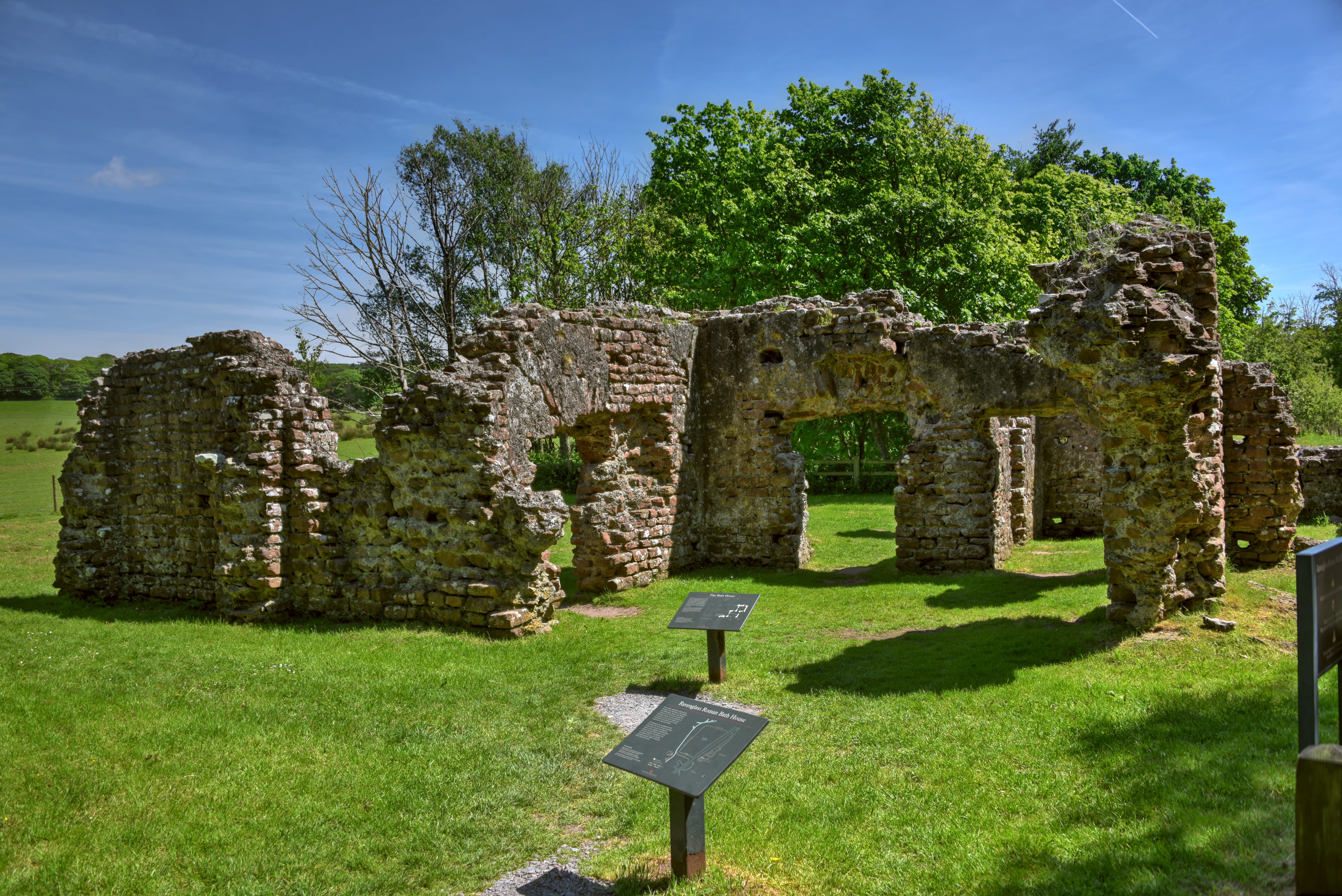
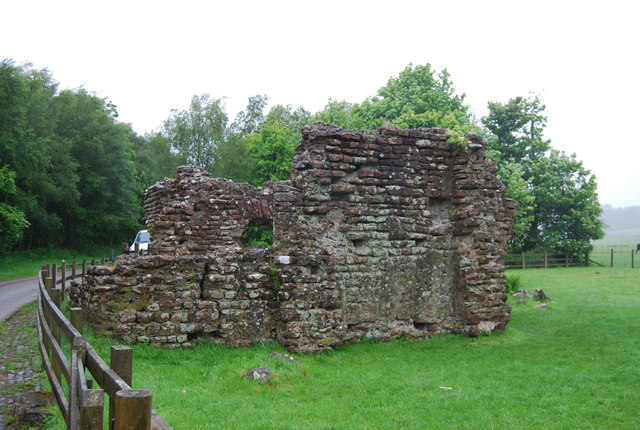
Ravenglass Roman Bath House
Ravenglass Roman Bath House (also known as Walls Castle) is a ruined ancient Roman bath house at Ravenglass, Cumbria, England. Belonging to a 2nd-century...

Broad Oak, Cumbria
Broad Oak is a hamlet in Cumbria, England. It is located along the A595 road, 14.4 miles (23.2 km) by road south of Egremont. == See also == List of places...

River Esk, Cumbria
The River Esk, sometimes called the Cumbrian Esk, is a river in Cumbria, England. It flows for approximately 25 km (15.5 miles) from its source in the...
Nearby Amenities
Located within 500m of 54.335805,-3.395813Have you been to Newbiggin Marsh?
Leave your review of Newbiggin Marsh below (or comments, questions and feedback).