Trick's Marsh

Coastal Marsh, Saltings in Devon North Devon

England

Trick's Marsh

Mariansleigh: River Mole at Alswear Three parishes meet here: beyond the bend the river runs into King’s Nympton and the right bank is in Queen’s Nympton
Mariansleigh: River Mole at Alswear Credit: Martin Bodman

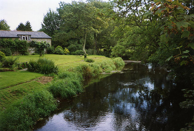
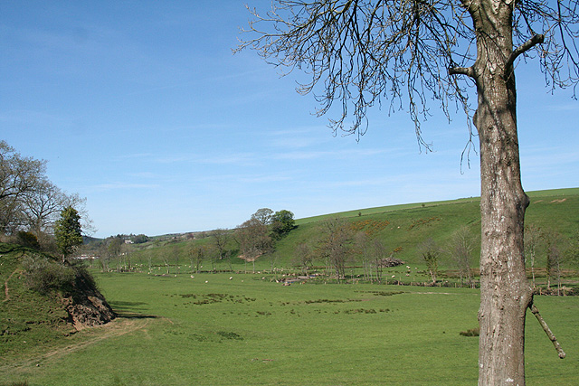
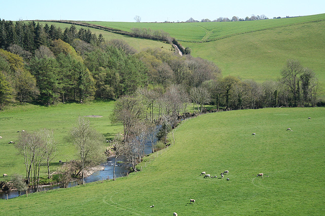
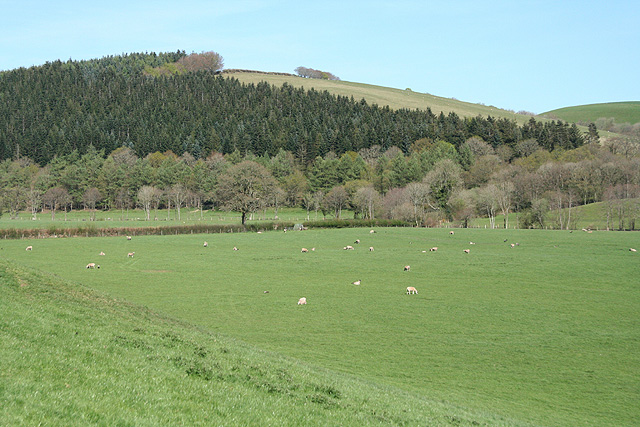
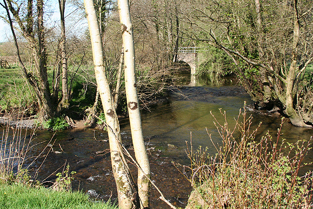
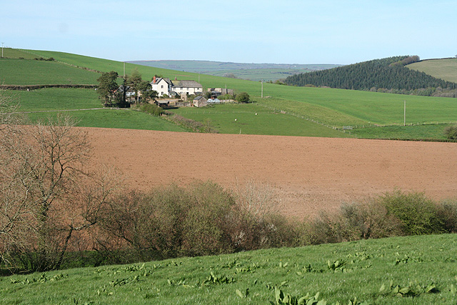
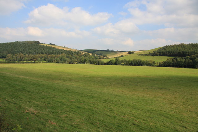
Trick's Marsh is a coastal marsh located in Devon, England. Situated along the southern coast, it encompasses a vast area of salt marshes, also known as saltings. The marsh is a significant natural habitat with a diverse range of flora and fauna.

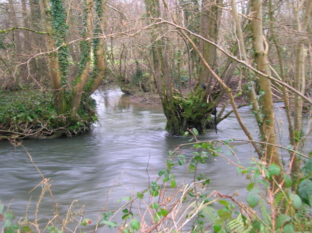
The marshland is characterized by its flat, low-lying landscape, which is often covered by tidal waters. It is influenced by the ebb and flow of the tides, resulting in a unique ecosystem that supports a variety of plants and animals. The marsh acts as a crucial breeding ground for several bird species, including wading birds, ducks, and geese.

The vegetation in Trick's Marsh is adapted to the brackish conditions and includes grasses, sedges, and rushes. These plants provide an important food source for the resident and migratory bird populations. The marsh also supports a range of invertebrates, such as crabs, snails, and worms, which play a vital role in the ecological balance of the area.

Trick's Marsh is not only valued for its biodiversity but also for its scenic beauty. Visitors can enjoy breathtaking views of the marshland, with its expansive skies and serene waterways. The marsh is also a popular spot for birdwatching, as it attracts a wide variety of bird species throughout the year.

Efforts have been made to protect Trick's Marsh and its fragile ecosystem. Conservation organizations work to maintain the delicate balance of the marshland and raise awareness about its importance. Additionally, access to the marsh is carefully managed to minimize human disturbance and preserve the natural environment.

Overall, Trick's Marsh is a remarkable coastal marsh in Devon, serving as a haven for wildlife and offering visitors a chance to connect with nature in a stunning and ecologically significant setting.

If you have any feedback on the listing, please let us know in the comments section below.

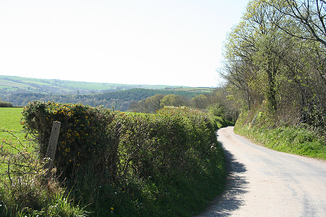
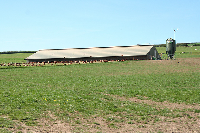
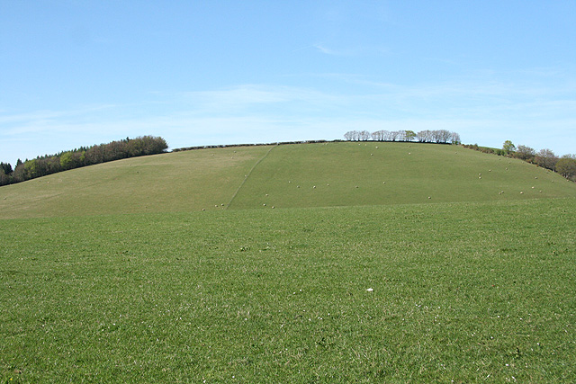
Trick's Marsh Images

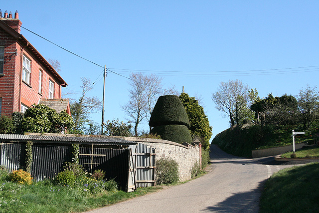
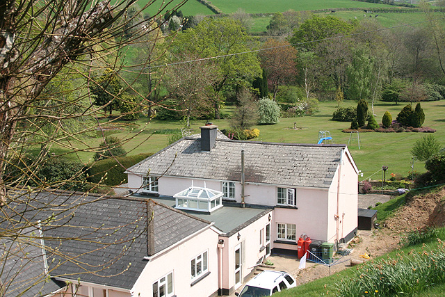
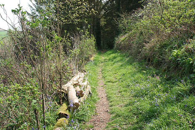
Images are sourced within 2km of 50.998934/-3.8122689 or Grid Reference SS7223. Thanks to Geograph Open Source API. All images are credited.

Mariansleigh: River Mole at Alswear Three parishes meet here: beyond the bend the river runs into King’s Nympton and the right bank is in Queen’s Nympton
Mariansleigh: River Mole at Alswear
Three parishes meet here: beyond the bend the river runs into King’s Nympton and the right bank is in Queen’s Nympton
Bishop’s Nympton: On Gorton Hill The eastern link from South Molton to the North Devon Link Road, Tiverton and the M5 Motorway. Looking east
Bishop’s Nympton: On Gorton Hill
The eastern link from South Molton to the North Devon Link Road, Tiverton and the M5 Motorway. Looking east
South Molton: Mole valley Near the entrance to Great Hele Barton, looking north-north-east, up the valley
South Molton: Mole valley
Near the entrance to Great Hele Barton, looking north-north-east, up the valley
George Nympton: river Mole Looking south east by the entrance to Little Hele and a little below the confluence of the Mole and the Yeo
George Nympton: river Mole
Looking south east by the entrance to Little Hele and a little below the confluence of the Mole and the Yeo
George Nympton: Mole valley Looking north east across the Mole flood plain towards Blastridge Plantation, which stands beyond the square
George Nympton: Mole valley
Looking north east across the Mole flood plain towards Blastridge Plantation, which stands beyond the square
Mariansleigh: lane to Alswear Looking west-north-west
Mariansleigh: lane to Alswear
Looking west-north-west
Bishop’s Nympton: near Westwood A poultry farm
Bishop’s Nympton: near Westwood
A poultry farm
Bishop’s Nympton: Crosse A Devon longhouse by the back lane from Bishop’s Nympton to South Molton. Looking north east
Bishop’s Nympton: Crosse
A Devon longhouse by the back lane from Bishop’s Nympton to South Molton. Looking north east
Bishop’s Nympton: towards Blastridge Hill View from Radley Cross looking north. The hill is beyond the square
Bishop’s Nympton: towards Blastridge Hill
View from Radley Cross looking north. The hill is beyond the square
George Nympton: the Mole and the Yeo Confluence of two rivers by a public footpath. Looking north east to the lowest bridge on the Yeo
George Nympton: the Mole and the Yeo
Confluence of two rivers by a public footpath. Looking north east to the lowest bridge on the Yeo
Bishop’s Nympton: decayed barn Looking north-north-west by the back lane from Bishop's Nympton to South Molton
Bishop’s Nympton: decayed barn
Looking north-north-west by the back lane from Bishop's Nympton to South Molton
George Nympton: Cheyney The house stands on the parish boundary with Queen’s Nympton. The lane ahead runs to Alswear. Turn right for George Nympton village. Looking south-south-east
George Nympton: Cheyney
The house stands on the parish boundary with Queen’s Nympton. The lane ahead runs to Alswear. Turn right for George Nympton village. Looking south-south-east
Queen’s Nympton: towards Little Frenchstone Looking north-north-east. Two small valleys intervene between the camera and the farm which is beyond the square
Queen’s Nympton: towards Little Frenchstone
Looking north-north-east. Two small valleys intervene between the camera and the farm which is beyond the square
King’s Nympton: overlooking New Mill New Mill, now a private house, seen from a public footpath on its boundary. This was the lowest watermill on the Little Silver Stream, a tributary of the Mole. Looking east-south-east
King’s Nympton: overlooking New Mill
New Mill, now a private house, seen from a public footpath on its boundary. This was the lowest watermill on the Little Silver Stream, a tributary of the Mole. Looking east-south-east
King’s Nympton: footpath above New Mill The path runs up the Little Silver valley to Kempstown and Romansleigh. Looking south east
King’s Nympton: footpath above New Mill
The path runs up the Little Silver valley to Kempstown and Romansleigh. Looking south east
Mole valley north of Alswear The flat river plain of the River Mole.
Mole valley north of Alswear
The flat river plain of the River Mole.
Field by the B3227 east of South Molton
Confluence of the River Mole and Crooked oak Here the River Mole is joined by the Crooked Oak, the third largest tributary of the river. The Brook rises around a mile and a half East of East Knowstone and meanders through the settelments of Ash mill and Bishops Nympton before it meets the Mole here
Confluence of the River Mole and Crooked oak
Here the River Mole is joined by the Crooked Oak, the third largest tributary of the river. The Brook rises around a mile and a half East of East Knowstone and meanders through the settelments of Ash mill and Bishops Nympton before it meets the Mole here
Show me another place!

Trick's Marsh is located at Grid Ref: SS7223 (Lat: 50.998934, Lng: -3.8122689)

Administrative County: Devon

District: North Devon

Police Authority: Devon and Cornwall

What 3 Words

///pickup.tightest.shorthand. Near South Molton, Devon

Related Wikis

Queen's Nympton

Queen's Nympton or Queensnympton is a small civil parish in the North Devon district of Devon, England. According to the 2001 census it had a population...

South Molton Community College

South Molton Community College (known to students and teachers as SMCC) is a coeducational foundation secondary school located in South Molton in the English...

Alswear

Alswear is a village in Devon, England, approximately 25 miles (40 km) northwest of Exeter. == References == == External links == Media related to Alswear...

Pannier Market, South Molton

South Molton Pannier Market is the pannier market for the town of South Molton in Devon, England located behind the town's Grade I listed Guildhall which...

Nearby Amenities

Located within 500m of 50.998934,-3.8122689
Power: pole
Source: bing
Transformer: distribution
Lat/Long: 51.0023004/-3.812795
Power: pole
Source: bing
Lat/Long: 51.0026734/-3.8135809
Power: pole
Source: bing
Lat/Long: 51.0031426/-3.8145706
The data included in this document is from www.openstreetmap.org. The data is made available under ODbL.

Have you been to Trick's Marsh?

Leave your review of Trick's Marsh below (or comments, questions and feedback).