Point Perilous
Coastal Marsh, Saltings in Devon North Devon
England
Point Perilous
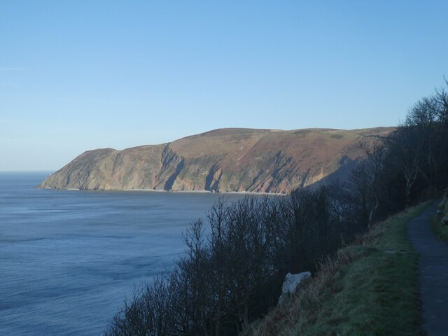
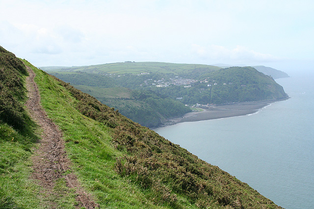
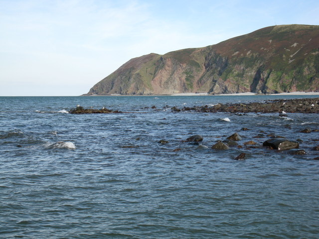
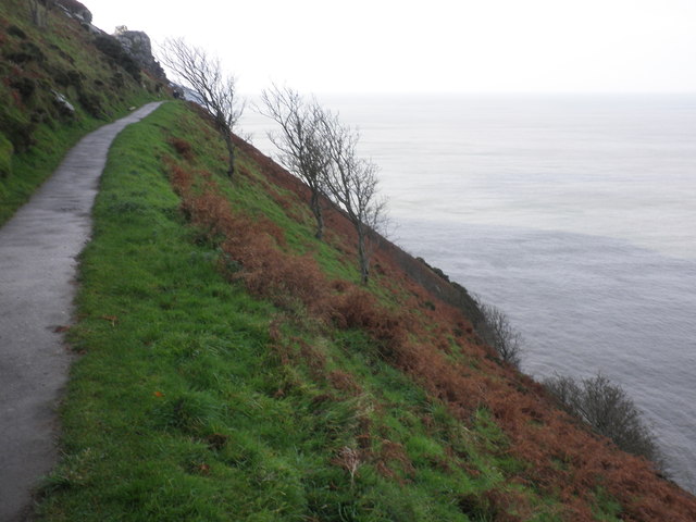
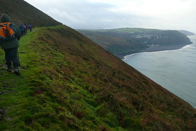
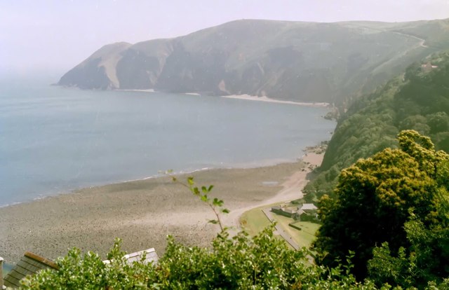
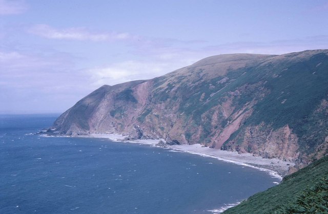
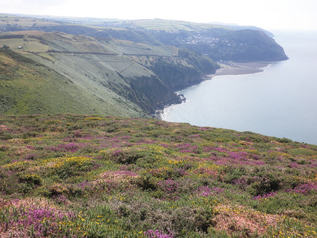
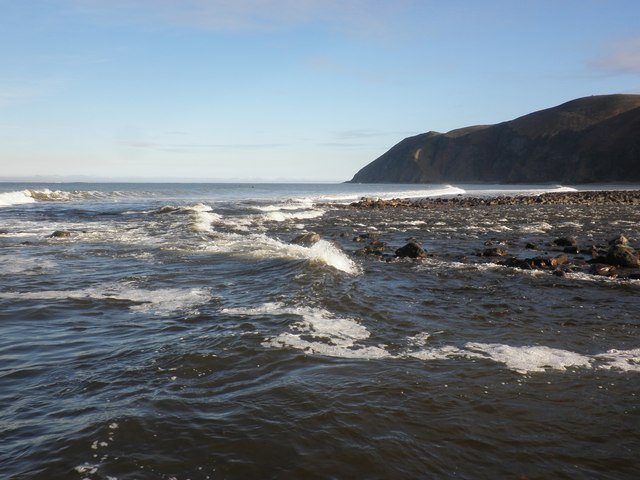
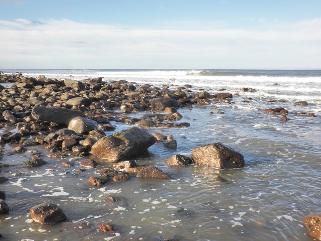
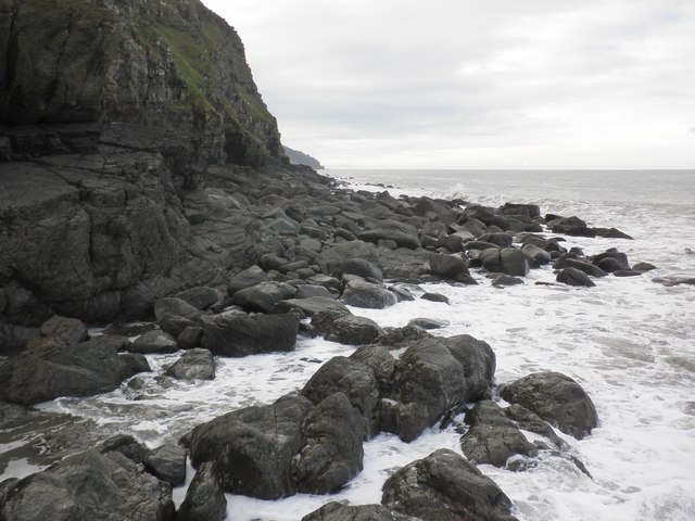
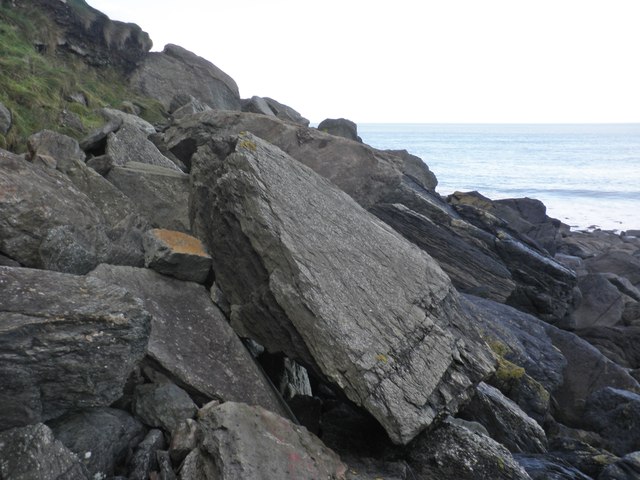
Point Perilous is a coastal marsh located in Devon, England. Situated on the southern coast, it is a significant and unique natural habitat known for its diverse ecosystem and stunning beauty. The marsh stretches along the coast, forming a large expanse of tidal mudflats, salt marshes, and sand dunes, collectively known as the Saltings.
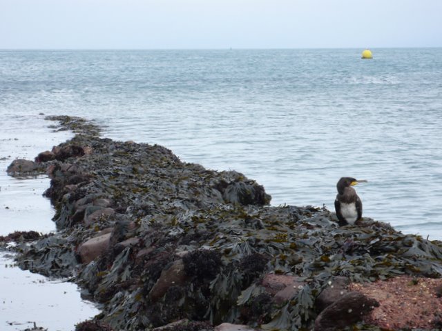
The marshland is characterized by its vast saltwater channels and shallow pools, which are formed by the ebb and flow of the tides. These tidal patterns create a rich and fertile environment, supporting a wide variety of plant and animal species. The marsh is home to numerous coastal birds, including waders, gulls, and terns, which rely on the abundant food sources found in the mudflats.
The vegetation of Point Perilous is adapted to the challenging conditions of the marsh, with salt-tolerant plants such as sea lavender, sea aster, and samphire thriving in the saline soil. These plants create a vibrant landscape, adding bursts of color to the marshland.
The marsh also plays a crucial role in protecting the coastline from erosion and storm damage. The extensive network of salt marshes acts as a natural buffer, absorbing wave energy and reducing the impact of coastal storms. This makes Point Perilous not only a beautiful and ecologically important site but also a valuable asset in terms of coastal management.
Visitors to Point Perilous can enjoy the breathtaking scenery and observe the rich wildlife through designated walking paths and birdwatching spots. The marshland offers a unique opportunity for nature enthusiasts, providing an immersive experience in a truly remarkable coastal ecosystem.
If you have any feedback on the listing, please let us know in the comments section below.
Point Perilous Images
Images are sourced within 2km of 51.231884/-3.8230129 or Grid Reference SS7249. Thanks to Geograph Open Source API. All images are credited.


Point Perilous is located at Grid Ref: SS7249 (Lat: 51.231884, Lng: -3.8230129)
Administrative County: Devon
District: North Devon
Police Authority: Devon and Cornwall
What 3 Words
///oxidation.elbowing.slug. Near Lynton, Devon
Nearby Locations
Related Wikis

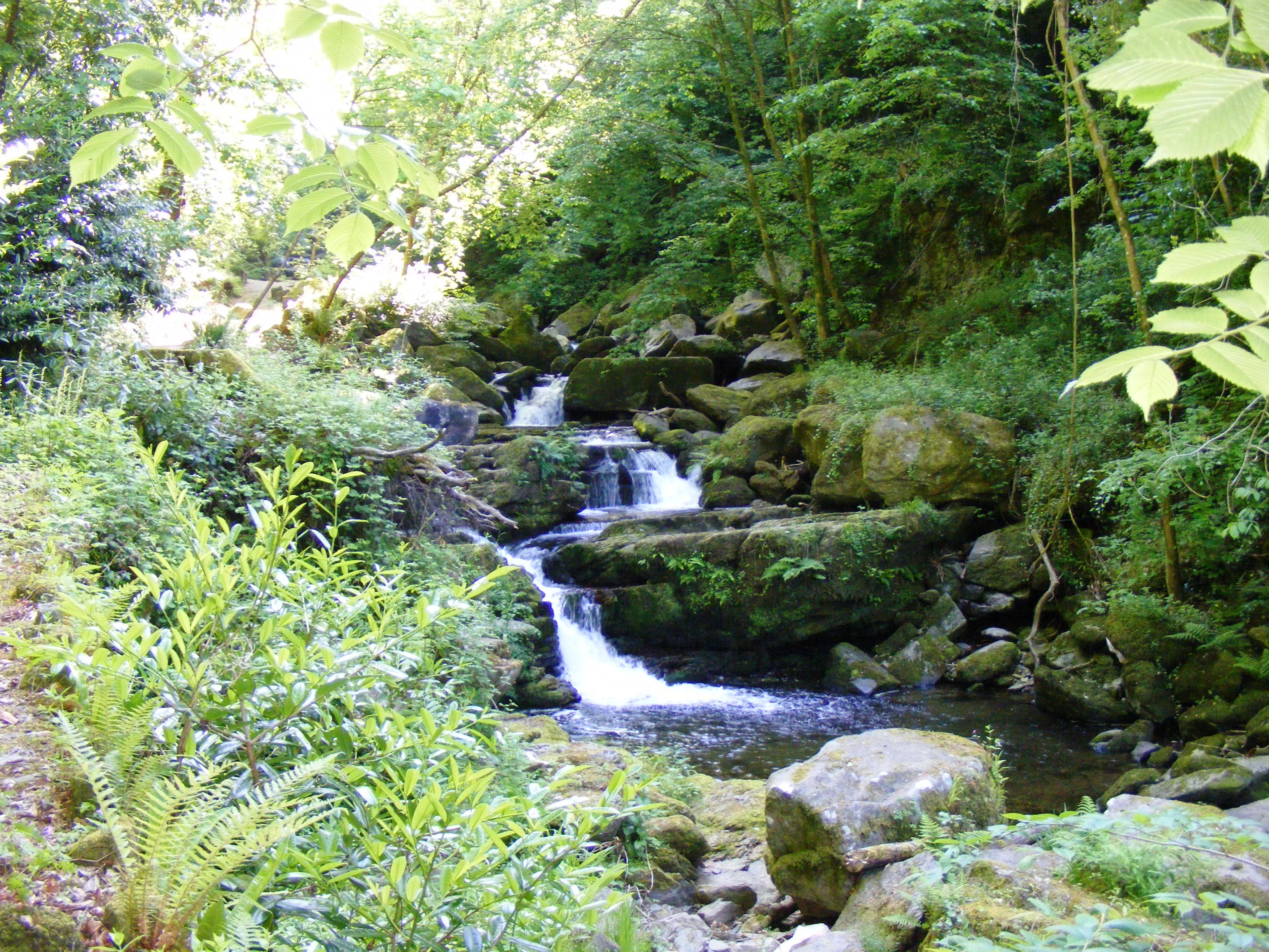
East Lyn River
The East Lyn is a river which rises high in Exmoor, in the English county of Somerset. It flows through the East Lyn Valley in Devon. == Watercourse... ==
West Lyn River
The West Lyn is a river in England which rises high in Exmoor, Somerset, and joins the East Lyn at Lynmouth in Devon. The upper reaches have been designated...

Lynmouth
Lynmouth is a village in Devon, England, on the northern edge of Exmoor. The village straddles the confluence of the West Lyn and East Lyn rivers, in a...

Lyn and Exmoor Museum
The Lyn and Exmoor Museum is a small museum in Lynton, Devon, England, housed in the town's oldest surviving domestic dwelling, a Grade II listed, whitewashed...
Nearby Amenities
Located within 500m of 51.231884,-3.8230129Have you been to Point Perilous?
Leave your review of Point Perilous below (or comments, questions and feedback).