Leftlake Mires
Coastal Marsh, Saltings in Devon South Hams
England
Leftlake Mires
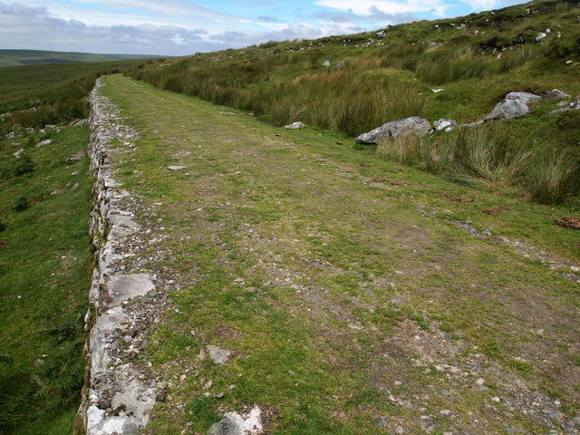
Leftlake Mires is a stunning coastal marsh and saltings located in Devon, England. Situated on the southern coast, it encompasses an area of approximately 200 acres, offering a diverse and unique ecosystem. The site is renowned for its exceptional beauty and is a popular destination for nature enthusiasts, birdwatchers, and photographers.
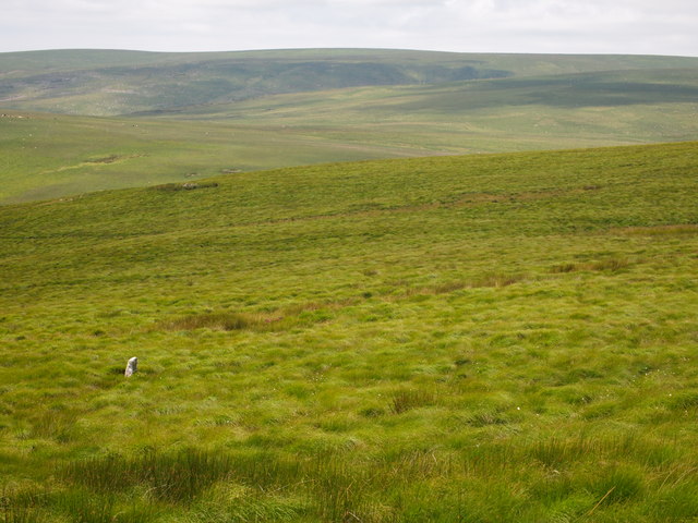
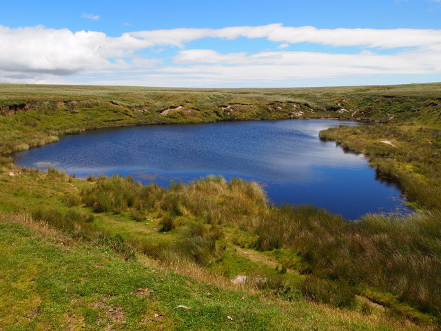
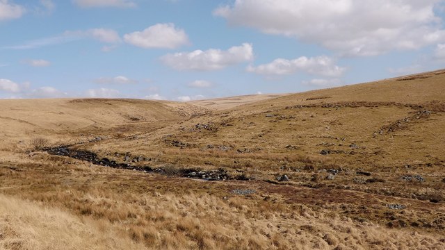
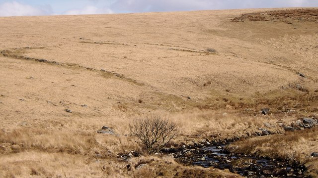
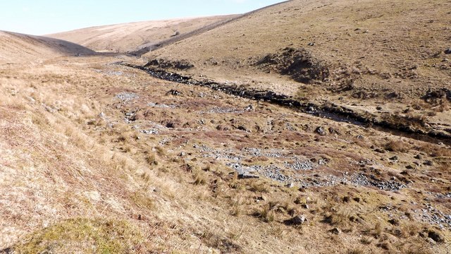
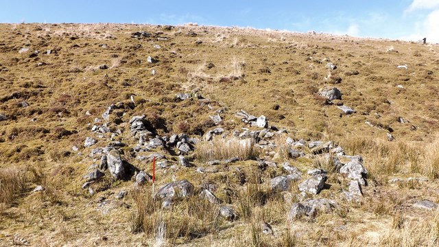
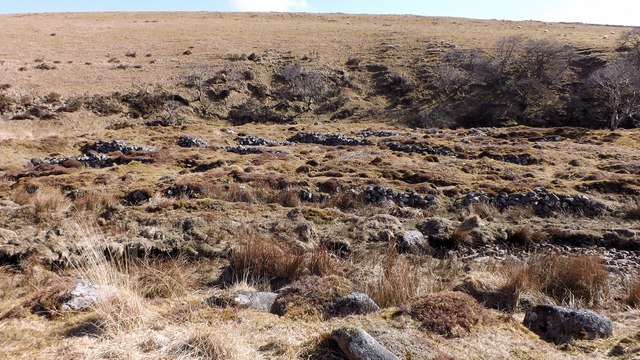
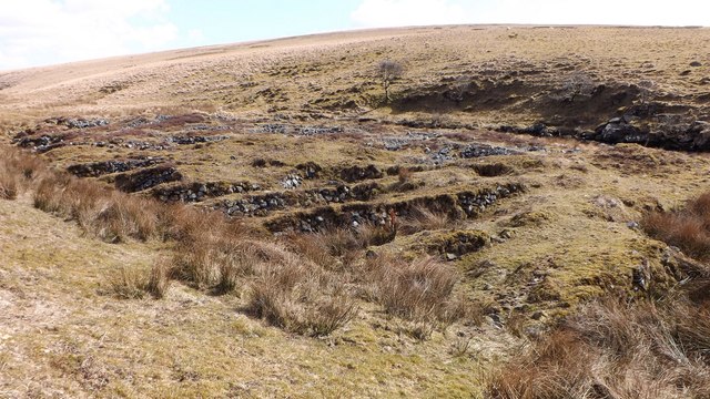
The landscape of Leftlake Mires is characterized by a combination of saltmarshes, mudflats, and brackish lagoons. These diverse habitats provide a haven for a wide range of flora and fauna species. The marshes are abundant with salt-tolerant plants such as samphire, sea lavender, and glasswort, which add vibrant colors to the landscape.
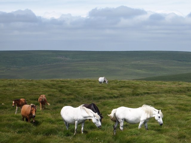
The area is particularly famous for its rich birdlife. Leftlake Mires serves as an important breeding and feeding ground for numerous bird species, including waders, waterfowl, and seabirds. Visitors often have the opportunity to spot rare and protected species, such as avocets, curlews, and little egrets. The marshes are also a vital stopover point for migrating birds during the spring and autumn seasons.
Leftlake Mires is not only a haven for wildlife but also a place of great ecological significance. The site plays a crucial role in maintaining the balance of the ecosystem, providing important habitats for various species and contributing to the overall health of the surrounding marine environment.
Visitors to Leftlake Mires can enjoy a range of activities, including birdwatching, nature walks, and photography. The site is easily accessible, with designated trails and observation points that allow visitors to explore the marshes while minimizing disruption to the delicate ecosystem. The breathtaking views, diverse wildlife, and tranquil atmosphere make Leftlake Mires a must-visit destination for nature lovers and those seeking a peaceful retreat by the coast.
If you have any feedback on the listing, please let us know in the comments section below.
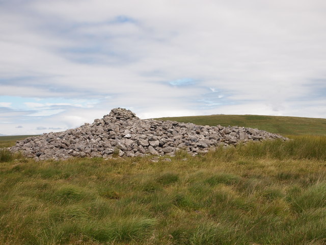
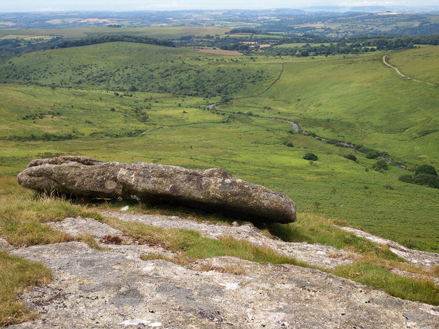
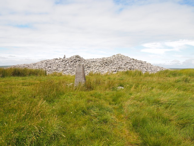
Leftlake Mires Images
Images are sourced within 2km of 50.454985/-3.9046755 or Grid Reference SX6463. Thanks to Geograph Open Source API. All images are credited.
Leftlake Mires is located at Grid Ref: SX6463 (Lat: 50.454985, Lng: -3.9046755)
Administrative County: Devon
District: South Hams
Police Authority: Devon and Cornwall
What 3 Words
///sports.downs.rollover. Near South Brent, Devon
Nearby Locations
Related Wikis

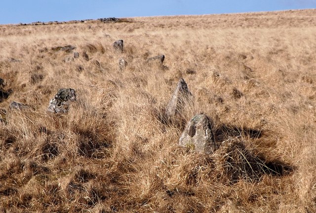
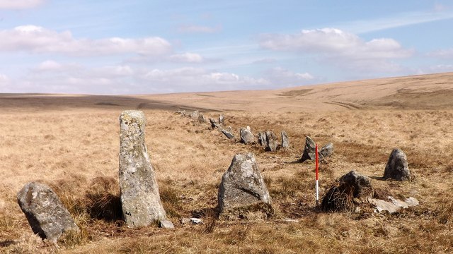
Stalldown Barrow
Stalldown Barrow, sometimes called Staldon, is a megalithic site in Devon, about 5 km from Harford. It consists of a long stone row. It is fairly close...

Harford, Devon
Harford is a hamlet and civil parish located approximately 2 miles (3.2 km) north of the town of Ivybridge in the county of Devon, England. The parish...

Badworthy
Badworthy is a village in Devon, England.

Dendles Wood
Dendles Wood is an area of protected oak-beech woodland located on the southern edge of Dartmoor, in the English county of Devon. Forming part of the Dartmoor...

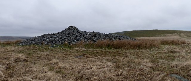
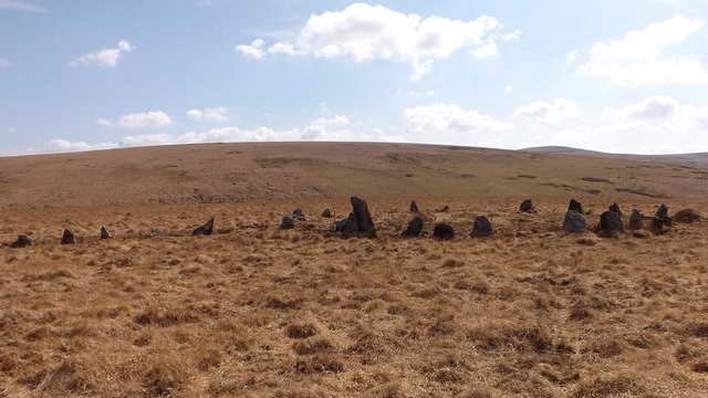
Butterdon Hill
Butterdon Hill is on Dartmoor, in southwest England. The remains of a small stone circle and a stone row can be found on the summit. The name Butterdon...

Aish, South Brent
Aish is a relatively small hamlet in the English county of Devon. It is near the large village of South Brent. This Aish is not to be confused with the...

Duck's Pool, Dartmoor
Duck's Pool is a small depression set in a remote location in the southern half of Dartmoor, Devon, England at grid reference SX624678. It lies between...
Lutton, South Brent
Lutton is a small farming hamlet on the outskirts of South Brent, Devon, England. It is a hillside community on the side of Brent Hill. It is only a small...
Nearby Amenities
Located within 500m of 50.454985,-3.9046755Have you been to Leftlake Mires?
Leave your review of Leftlake Mires below (or comments, questions and feedback).