Easter Fearn Point

Coastal Marsh, Saltings in Ross-shire

Scotland

Easter Fearn Point

Fields dropping down to Dornoch Firth from Cadha Mor
Fields dropping down to Dornoch Firth from Cadha Mor Credit: Peter Bond

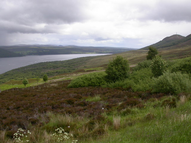
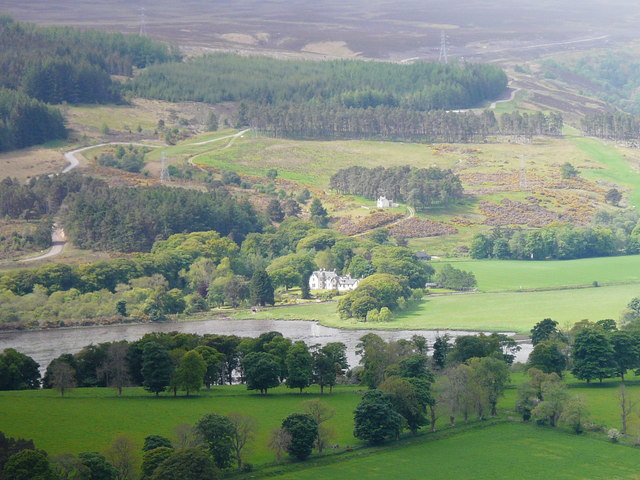
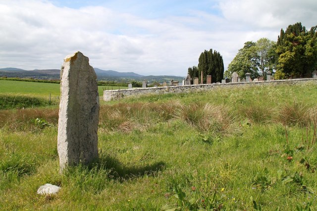
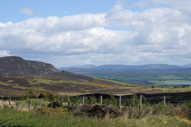
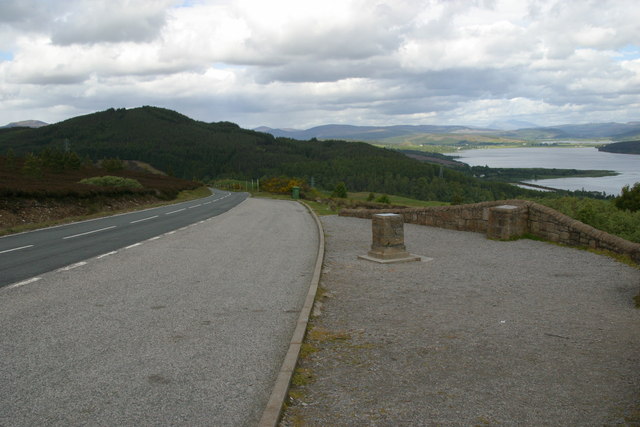
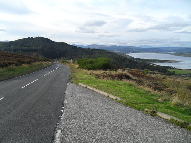
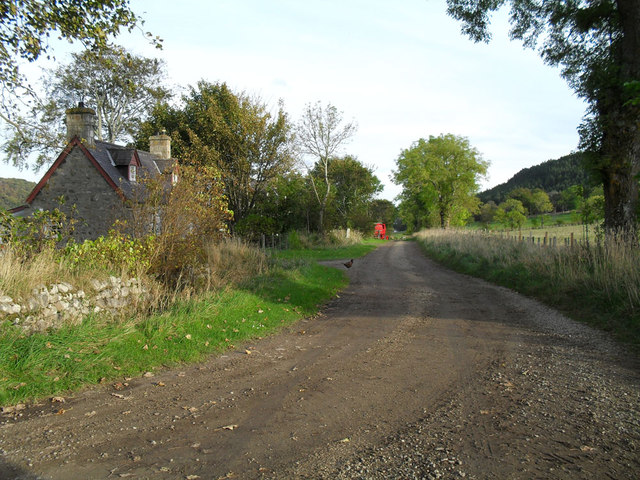
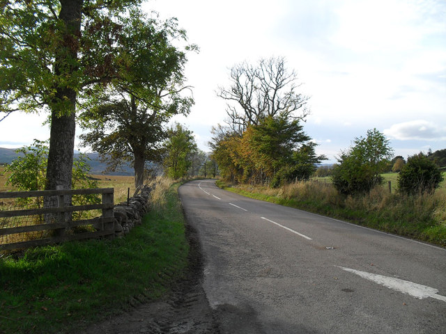
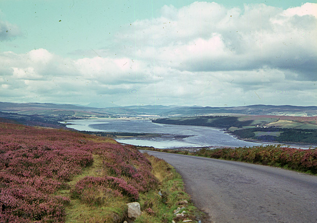
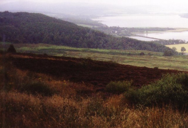
Easter Fearn Point is a coastal marsh and saltings area located in Ross-shire, Scotland. The site is known for its diverse range of habitats, including mudflats, salt marshes, and sand dunes, which provide a rich environment for a variety of plant and animal species.

The area is an important site for birdwatching, with a number of bird species making their home in the marshes and saltings. Visitors to Easter Fearn Point may spot wading birds such as oystercatchers, redshanks, and curlews, as well as seabirds like terns and gulls.

The site is also of interest to botanists, with a number of rare plant species growing in the salt marshes and dunes. The unique mix of habitats at Easter Fearn Point provides a valuable ecosystem for a wide range of flora and fauna.

In addition to its ecological significance, Easter Fearn Point offers visitors the opportunity to enjoy the natural beauty of the Scottish coast. The views from the marshes and dunes are spectacular, and the peaceful surroundings make it an ideal spot for a relaxing walk or picnic.

If you have any feedback on the listing, please let us know in the comments section below.

Easter Fearn Point Images

Images are sourced within 2km of 57.856976/-4.2810418 or Grid Reference NH6487. Thanks to Geograph Open Source API. All images are credited.

Fields dropping down to Dornoch Firth from Cadha Mor
Rough ground east of Struie Viewpoint
Creich Wester Fearn beyond, viewed from the summit of A'Chraisg
Creich
Wester Fearn beyond, viewed from the summit of A'Chraisg
B9176 crosses Easter Fearn Burn
Easter Fearn Burn
Easter Fearn Burn
St Demhan's Cross Standing Stone near Bonar Bridge at Creich Church
St Demhan's Cross
Standing Stone near Bonar Bridge at Creich Church
Cadha Mor from Struie Hill Perhaps this name can be translated to the 'Big Pass' as the ground leads down from the gap between Struie and Cnoc an Liath bhaid.
Cadha Mor from Struie Hill
Perhaps this name can be translated to the 'Big Pass' as the ground leads down from the gap between Struie and Cnoc an Liath bhaid.
Viewpoint and information cairns at Struie Hill
Cottage courtyard at the gate to Fearn Lodge
Down hill all the way
Creich Mains
Creich Mains
Old A9 near Creich
Old A9 near Creich
Struie Hill viewpoint A lay-by is provided here so that travellers on the B9176 (formerly the A836) can admire the 'million dollar view' over Dornoch Firth. Sadly on this dull and extremely windy day visibility was not at its best; the strength of the wind can be seen from the angle of the grass in the foreground.
Struie Hill viewpoint
A lay-by is provided here so that travellers on the B9176 (formerly the A836) can admire the 'million dollar view' over Dornoch Firth. Sadly on this dull and extremely windy day visibility was not at its best; the strength of the wind can be seen from the angle of the grass in the foreground.
Ardgay AA Box This beautifully preserved AA box stands at the junction of the A836 and the B9176 - although until the bridge over the Dornoch Firth was built what is now the A836 was the A9 and the B9176 was the A836! AA boxes, and their counterparts the RAC boxes, were once common sights on the highways of Great Britain and they offered members not only the opportunity to 'phone for rescue but also useful equipment such as a light and local maps. Each box carried a unique number and members were issued with a key to allow access. As motoring changed so the need for the boxes diminished and the widespread adoption of mobile phones was the final nail in their coffin. There are very few left now and it is doubtful if any are in as good a condition as this one.
Ardgay AA Box
This beautifully preserved AA box stands at the junction of the A836 and the B9176 - although until the bridge over the Dornoch Firth was built what is now the A836 was the A9 and the B9176 was the A836! AA boxes, and their counterparts the RAC boxes, were once common sights on the highways of Great Britain and they offered members not only the opportunity to 'phone for rescue but also useful equipment such as a light and local maps. Each box carried a unique number and members were issued with a key to allow access. As motoring changed so the need for the boxes diminished and the widespread adoption of mobile phones was the final nail in their coffin. There are very few left now and it is doubtful if any are in as good a condition as this one.
Ardgay AA Box This delightful old AA box greets travellers on the old A9 road (now the A836) where it meets the B9176 a few mile south east of Ardgay village.
Ardgay AA Box
This delightful old AA box greets travellers on the old A9 road (now the A836) where it meets the B9176 a few mile south east of Ardgay village.
The Kyle of Sutherland, from the Cadha Mòr Looking towards the Kyle from the B9176 as it makes its way down the Cadha Mòr. The photograph was taken before the Struie viewpoint was constructed.
The Kyle of Sutherland, from the Cadha Mòr
Looking towards the Kyle from the B9176 as it makes its way down the Cadha Mòr. The photograph was taken before the Struie viewpoint was constructed.
Railway near Easter Fearn Point Long, undulating straight
Railway near Easter Fearn Point
Long, undulating straight
Hillside at Cadha Mor Photograph taken in August 1999
Hillside at Cadha Mor
Photograph taken in August 1999
Show me another place!

Easter Fearn Point is located at Grid Ref: NH6487 (Lat: 57.856976, Lng: -4.2810418)

Unitary Authority: Highland

Police Authority: Highlands and Islands

What 3 Words

///saloons.mixes.tint. Near Tain, Highland

Nearby Locations

Easter Fearn Point

Related Wikis

Easter Fearn

Easter Fearn is a small settlement in the Ross-shire area of the Highland council area in Scotland, on the A836 and B9176 roads it is 3 miles from Ardgay...

Creich

Creich (Scottish Gaelic: Craoich, pronounced [kʰɾɯːç]) is a substantial parish on the north side of the Dornoch Firth the largest settlement being Bonar...

Loch Migdale

Loch Migdale is a freshwater loch (Lake) near Bonar Bridge, in Sutherland, Highland, Scotland. The loch contains a crannog (artificial-island home) dating...

Spinningdale

Spinningdale (Scottish Gaelic: Spainnigeadal) is a hamlet, in the Parish of Creich, on the north shore of the Dornoch Firth in eastern Sutherland, in the...

Nearby Amenities

Located within 500m of 57.856976,-4.2810418
Easter Fearn Point
Place: locality
Source: OS7
Lat/Long: 57.8563282/-4.2809403
The data included in this document is from www.openstreetmap.org. The data is made available under ODbL.

Have you been to Easter Fearn Point?

Leave your review of Easter Fearn Point below (or comments, questions and feedback).