The Warren
Coastal Marsh, Saltings in Devon South Hams
England
The Warren
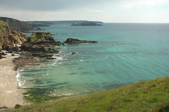
The Warren, located in Devon, England, is a coastal marsh and saltings area renowned for its diverse ecosystem and stunning natural beauty. Situated along the eastern bank of the River Exe estuary, it covers an expansive area of approximately 160 hectares.
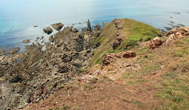
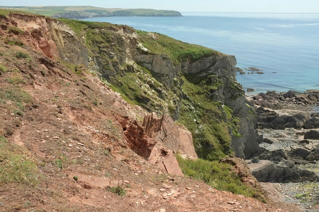
The Warren is characterized by its unique combination of habitats, including saltmarsh, mudflats, sand dunes, and scrubland, making it an important site for wildlife conservation and a popular destination for nature enthusiasts. The saltmarshes provide crucial feeding grounds and nesting sites for a wide range of bird species, including wading birds, gulls, and wintering waterfowl. It also supports several rare and endangered plant species that thrive in the brackish conditions.
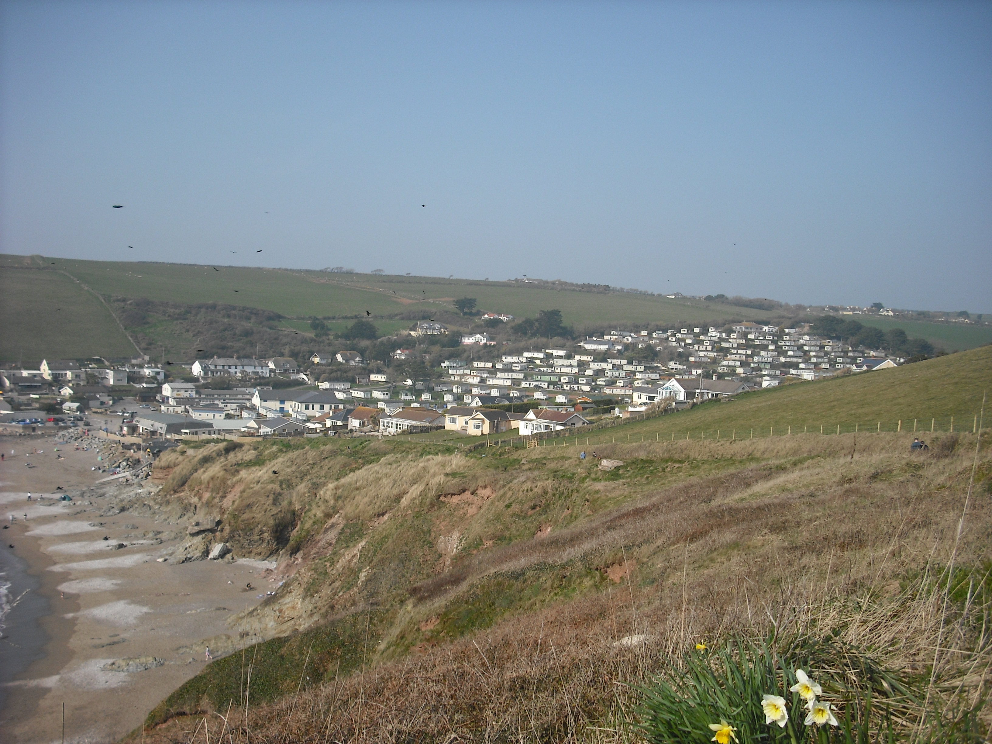
Visitors to The Warren can explore the area through a network of well-maintained footpaths that offer breathtaking views of the surrounding landscape. The sandy dunes and beach provide opportunities for leisure activities such as picnicking, sunbathing, and beachcombing. Additionally, the estuary is a haven for water sports enthusiasts, with activities such as kayaking, paddleboarding, and sailing being popular in the area.
The Warren is managed by a local conservation organization in collaboration with national wildlife agencies to ensure the preservation of its natural habitats and species. Educational programs and guided tours are regularly organized to raise awareness about the importance of this unique ecosystem and its conservation efforts.
Overall, The Warren in Devon is a remarkable coastal marsh and saltings area that offers a haven for wildlife, stunning scenery, and a range of recreational activities for visitors to enjoy.
If you have any feedback on the listing, please let us know in the comments section below.
The Warren Images
Images are sourced within 2km of 50.283064/-3.8963146 or Grid Reference SX6444. Thanks to Geograph Open Source API. All images are credited.


The Warren is located at Grid Ref: SX6444 (Lat: 50.283064, Lng: -3.8963146)
Administrative County: Devon
District: South Hams
Police Authority: Devon and Cornwall
What 3 Words
///neatly.galloped.shocking. Near Modbury, Devon
Nearby Locations
Related Wikis

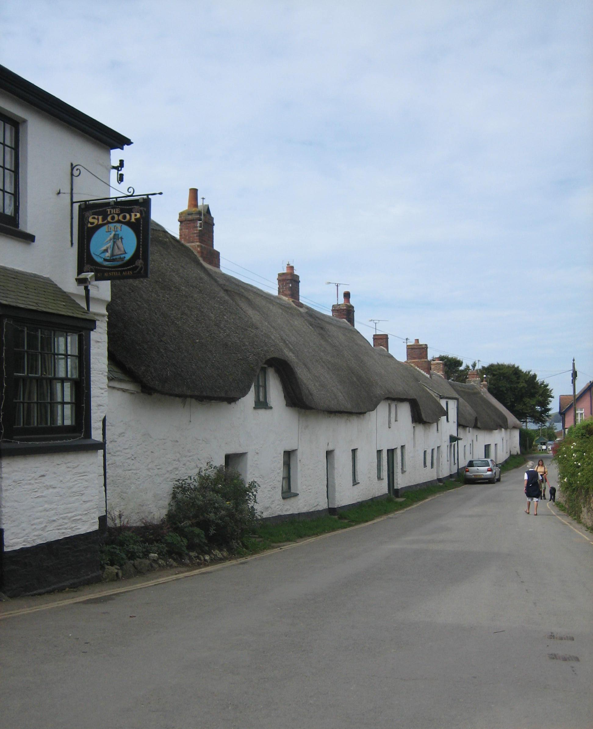
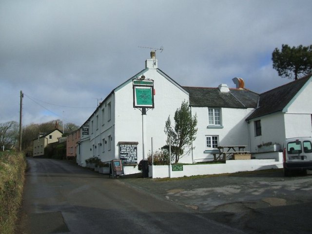
Bigbury-on-Sea
Bigbury-on-Sea is a village in the South Hams district on the south coast of Devon, England. It is part of the civil parish of Bigbury which is centred...

Burgh Island Hotel
The Burgh Island Hotel is a hotel on Burgh Island, Devon in England. == History == In the 1890s, the music hall star George H. Chirgwin built a prefabricated...

Burgh Island
Burgh Island is a tidal island on the coast of South Devon in England near the small seaside village of Bigbury-on-Sea. There are several buildings on...

River Avon, Devon
The River Avon, also known as the River Aune, is a river in the county of Devon in the southwest of England. It rises in the southern half of Dartmoor...
Challaborough
Challaborough is a village and popular surfing beach in the District of South Hams on the south coast of Devon, England. The village is in the parish of...

Ringmore
Ringmore is a village and civil parish in the South Hams district, on the coast of Devon, England. The population taken at the 2011 census was 208. �...
Bantham
Bantham is a coastal village in south Devon, England. It is in the South Hams district and lies on the estuary of the River Avon a quarter of a mile from...
Bigbury
Bigbury is a village and civil parish in the South Hams district of Devon, England. According to the 2001 census the parish had a population of 582, compared...
Nearby Amenities
Located within 500m of 50.283064,-3.8963146Have you been to The Warren?
Leave your review of The Warren below (or comments, questions and feedback).