Cerrigypenrhyn

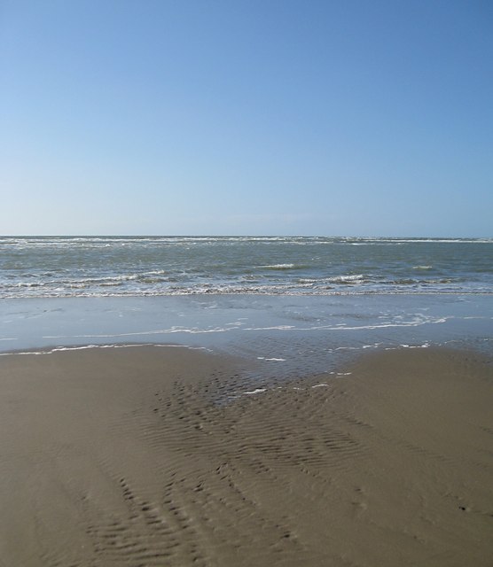
Coastal Marsh, Saltings in Cardiganshire

Wales

Cerrigypenrhyn

Aberdovey beach A coastal defence pillbox can just be seen in the dunes.
Aberdovey beach Credit: Dave Croker

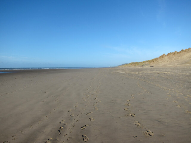
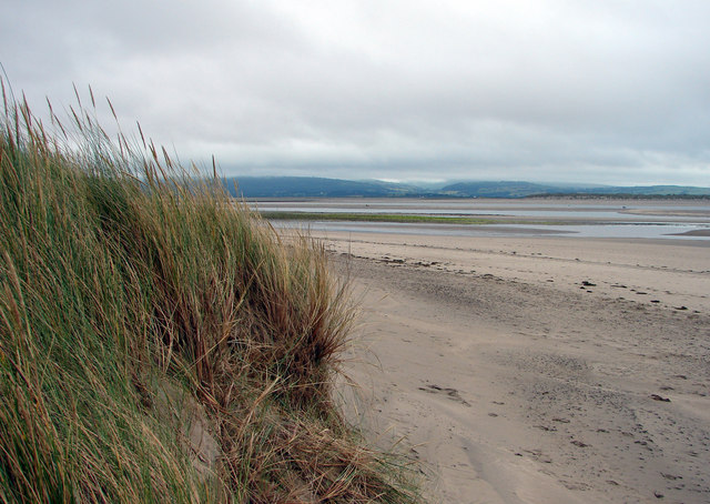
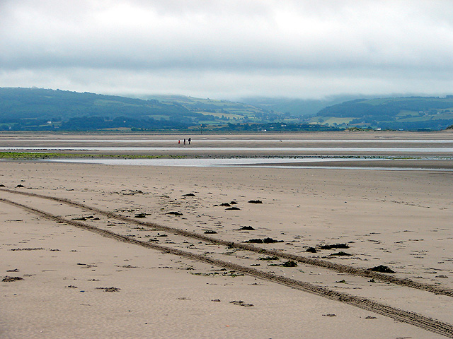
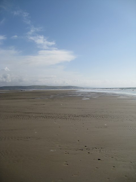
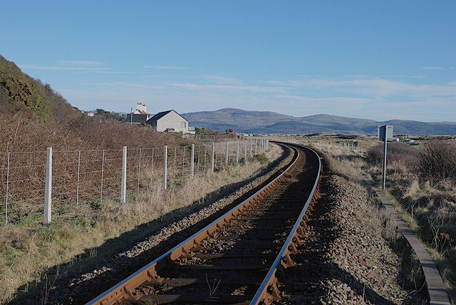
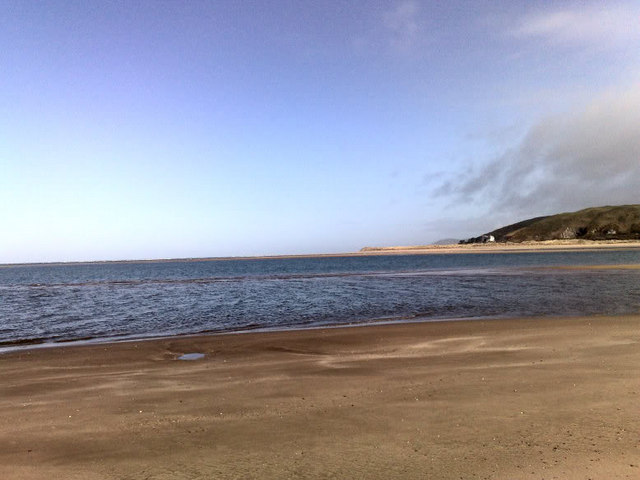
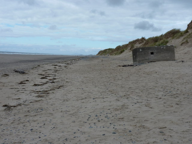
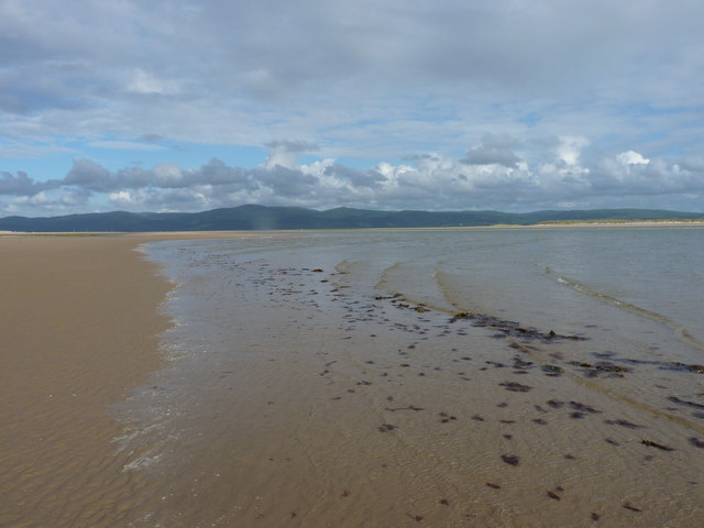
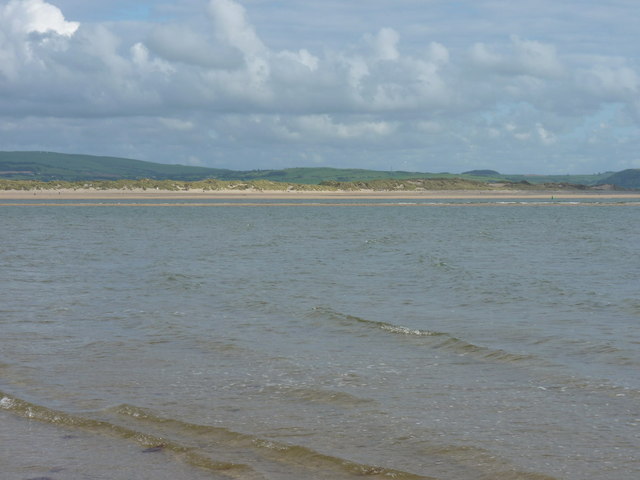
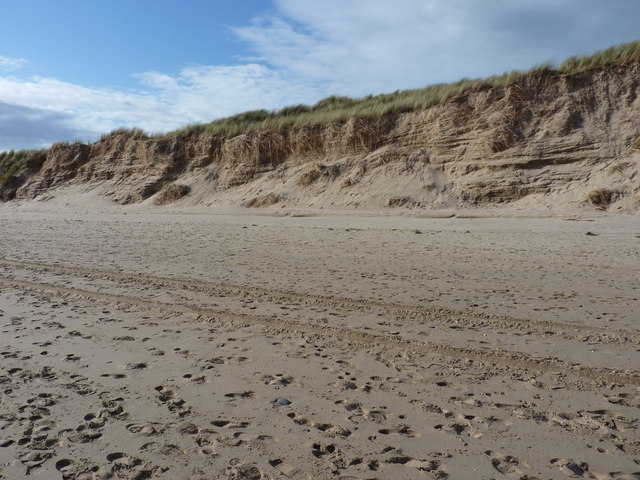
Cerrigypenrhyn, located in Cardiganshire, is a picturesque coastal marsh and saltings area in Wales. This natural landscape is situated near the small village of Cerrigypenrhyn and offers visitors a unique experience of diverse flora and fauna.

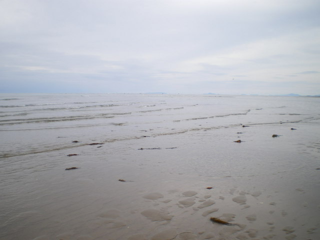
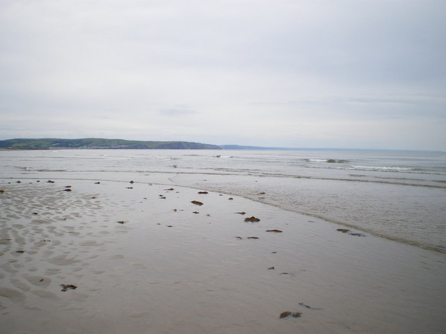
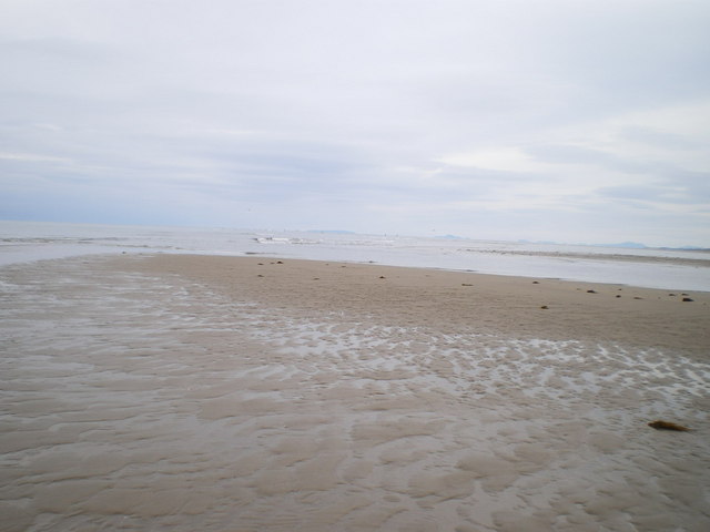
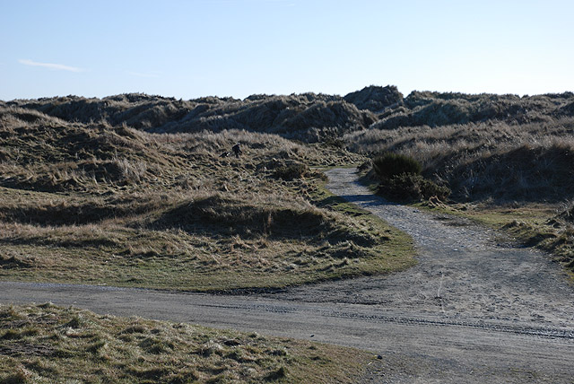
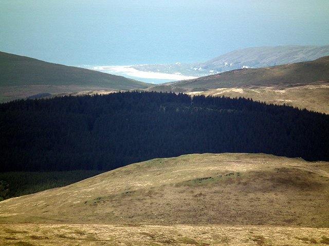
The marshland is characterized by its flat, low-lying terrain, which is regularly influenced by the ebb and flow of the nearby sea. The saltings, on the other hand, are intertidal areas where salt-tolerant plants thrive. These plants create a vibrant ecosystem that supports a wide range of bird species, making it a popular spot for birdwatchers and nature enthusiasts.

Cerrigypenrhyn is home to various species of wading birds, such as curlews, redshanks, and oystercatchers, which can be observed feeding and nesting in the marshes and saltings. In addition to the avian population, the area also hosts a diverse array of plants, including sea lavender, sea aster, and sea purslane, which contribute to the marshland's unique beauty and ecological significance.

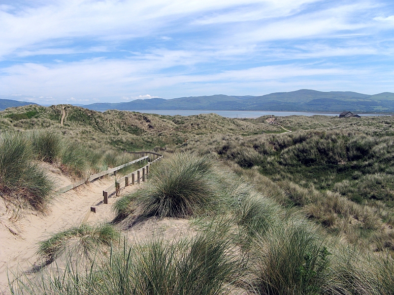
Visitors to Cerrigypenrhyn can explore the area through designated walking trails and observation points. These paths offer stunning views of the marshes and saltings, as well as the opportunity to spot rare and protected species that inhabit the region.

Preservation efforts are in place to protect Cerrigypenrhyn's delicate ecosystem, ensuring its continued biodiversity. The area is also an important site for scientific research and conservation, attracting researchers and wildlife experts from around the world.

Overall, Cerrigypenrhyn in Cardiganshire offers a tranquil and scenic experience for nature lovers, providing a glimpse into the rich diversity of coastal marshes and saltings in Wales.

If you have any feedback on the listing, please let us know in the comments section below.

Cerrigypenrhyn Images

Images are sourced within 2km of 52.538256/-4.049221 or Grid Reference SN6195. Thanks to Geograph Open Source API. All images are credited.

Aberdovey beach A coastal defence pillbox can just be seen in the dunes.
Aberdovey beach
A coastal defence pillbox can just be seen in the dunes.
Sand Dunes at Aberdovey This square consists of just dunes and sand, much of which is covered at high tide. Looking approximately south, towards Ynyslas across the Dovey Estuary.
Sand Dunes at Aberdovey
This square consists of just dunes and sand, much of which is covered at high tide. Looking approximately south, towards Ynyslas across the Dovey Estuary.
Tracks in the sand A beach patrol had recently passed this way. The view is across the Dyfi Estuary towards Ynyslas.
Tracks in the sand
A beach patrol had recently passed this way. The view is across the Dyfi Estuary towards Ynyslas.
Looking along the sand bar The shifting sands bear little resemblance to the map. I believed I was in the square.
Looking along the sand bar
The shifting sands bear little resemblance to the map. I believed I was in the square.
Looking out to sea Standing on the edge of the bar, the shifting sands bear little resemblance to the map.
Looking out to sea
Standing on the edge of the bar, the shifting sands bear little resemblance to the map.
NW towards Aberdovey Bar Just about on the edge of the bar at Ynyslas, looking towards a group of anglers on Aberdovey Bar. The tide needed to go out quite a bit more to expose much of the sandbank at Ynyslas.
NW towards Aberdovey Bar
Just about on the edge of the bar at Ynyslas, looking towards a group of anglers on Aberdovey Bar. The tide needed to go out quite a bit more to expose much of the sandbank at Ynyslas.
South across Ynyslas Bar just before low tide Given time to wait for the tide to go out further, I'd have walked to the far side of the bar. As it was, rain was a-coming, and the light was dying, so this was as far out as the dog and I could get. The sandbank was littered with clumps of weed.
South across Ynyslas Bar just before low tide
Given time to wait for the tide to go out further, I'd have walked to the far side of the bar. As it was, rain was a-coming, and the light was dying, so this was as far out as the dog and I could get. The sandbank was littered with clumps of weed.
Tidal channel at Ynyslas A retreating tide off the point at Ynyslas reveals shallow channels between the sandbanks; fording them takes you out to Ynyslas bar, where if you wait long enough a large area of sand is exposed. The light was going, so we didn't hang around too long.
Tidal channel at Ynyslas
A retreating tide off the point at Ynyslas reveals shallow channels between the sandbanks; fording them takes you out to Ynyslas bar, where if you wait long enough a large area of sand is exposed. The light was going, so we didn't hang around too long.
Cambrian coast railway line west of Aberdyfi
Track over Aberdyfi golf course Giving access to the dunes.
Track over Aberdyfi golf course
Giving access to the dunes.
Aberdyfi beach Aberdyfi beach including I think the Trefeddian hotel in the distance.
Aberdyfi beach
Aberdyfi beach including I think the Trefeddian hotel in the distance.
The Trefeddian Hotel A landmark hotel on the road just south of Aberdovey; the current building sits on the site of a Victorian predecessor, and to a certain extent echoes the architectural style of that predecessor.
The Trefeddian Hotel
A landmark hotel on the road just south of Aberdovey; the current building sits on the site of a Victorian predecessor, and to a certain extent echoes the architectural style of that predecessor.
Pillbox at the dune front A WWII pillbox on the edge of the dunes north of Aberdovey; this one is effectively complete, but there are the remains of 2 or 3 more along the beach further north, all of which appear to have been blown up, in an effort to destroy them.
Pillbox at the dune front
A WWII pillbox on the edge of the dunes north of Aberdovey; this one is effectively complete, but there are the remains of 2 or 3 more along the beach further north, all of which appear to have been blown up, in an effort to destroy them.
Former Coastguard lookout station Abandoned lookout station on the side of the A493 just north of Aberdovey
Former Coastguard lookout station
Abandoned lookout station on the side of the A493 just north of Aberdovey
Incoming tide on Aberdovey beach
Across the incoming tide to a small sandbank The current sand layout in the Dyfi estuary (Aug 2011) leaves a low sandbank exposed offshore as the tide flows. It attracts a population of gulls and wading birds, until the waves eventually drown it and they are forced elsewhere. In the distance, the dunes and beach of Ynyslas and Twni Bâch.
Across the incoming tide to a small sandbank
The current sand layout in the Dyfi estuary (Aug 2011) leaves a low sandbank exposed offshore as the tide flows. It attracts a population of gulls and wading birds, until the waves eventually drown it and they are forced elsewhere. In the distance, the dunes and beach of Ynyslas and Twni Bâch.
Dune bedding at Aberdovey It's not uncommon to find ancient dune bedding preserved in sandstone rocks, especially throughout the Midlands; this is the bedding process in action in modern dunes.
Dune bedding at Aberdovey
It's not uncommon to find ancient dune bedding preserved in sandstone rocks, especially throughout the Midlands; this is the bedding process in action in modern dunes.
The dunes at Aberdovey are just visible from the summit of Plynlimon The distance is about 13 miles.
The dunes at Aberdovey are just visible from the summit of Plynlimon
The distance is about 13 miles.
Show me another place!

Cerrigypenrhyn is located at Grid Ref: SN6195 (Lat: 52.538256, Lng: -4.049221)

Unitary Authority: Ceredigion

Police Authority: Dyfed Powys

What 3 Words

///passes.crowbar.handsets. Near Borth, Ceredigion

Related Wikis

Aberdovey Lifeboat Station

Aberdovey Lifeboat Station (Welsh: Gorsaf Bad Achub Aberdyfi) is an RNLI lifeboat station in the coastal village of Aberdyfi, Gwynedd, West Wales, on the...

Aberdyfi

Aberdyfi (Welsh pronunciation: [abɛrˈdəvi]), also known as Aberdovey ( a-bər-DUH-vee), is a village and community in Gwynedd, Wales, located on the northern...

Aberdovey railway station

Aberdovey railway station (Welsh: Aberdyfi) serves the seaside resort of Aberdyfi in Gwynedd, Wales. The station is on the Cambrian Coast Railway with...

Ynyslas

Ynyslas (Welsh for 'Blue Island'; Welsh pronunciation: [ənɪsˈlas]) is a small village about 1.5 miles north of Borth and 8 miles north of Aberystwyth,...

Nearby Amenities

Located within 500m of 52.538256,-4.049221
Source: PGS
Lat/Long: 52.542103/-4.0518147
Source: PGS
Lat/Long: 52.5421985/-4.0511301
Source: PGS
Lat/Long: 52.5423031/-4.0503034
Source: PGS
Lat/Long: 52.5424309/-4.0488943
Source: PGS
Lat/Long: 52.5424828/-4.0479542
Life Ring
Emergency: life_ring
Lat/Long: 52.5421925/-4.0524372
The data included in this document is from www.openstreetmap.org. The data is made available under ODbL.

Have you been to Cerrigypenrhyn?

Leave your review of Cerrigypenrhyn below (or comments, questions and feedback).