Ardullie Point
Coastal Marsh, Saltings in Ross-shire
Scotland
Ardullie Point
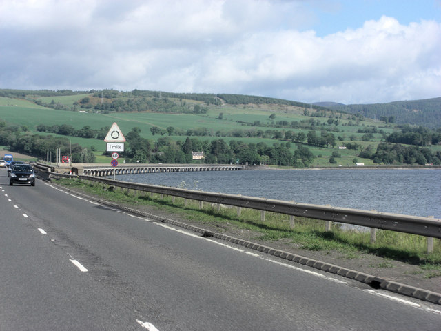
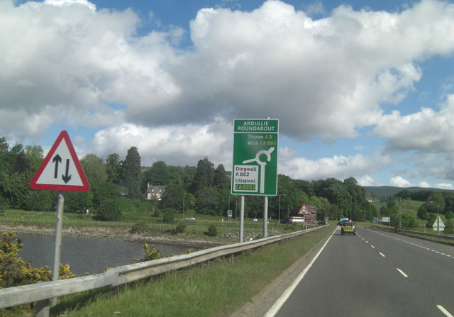
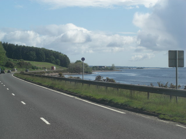
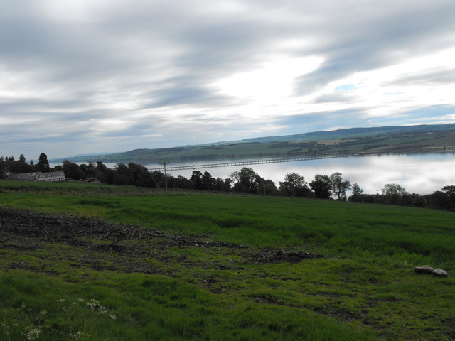
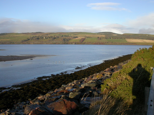
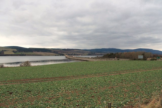
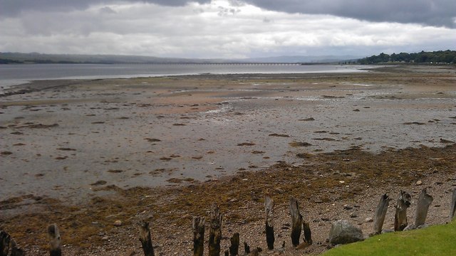
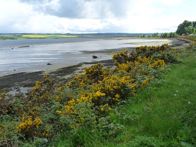
Ardullie Point, located in Ross-shire, Scotland, is a picturesque coastal marsh and saltings that offers stunning natural beauty and a diverse range of wildlife. Situated on the eastern shore of the Cromarty Firth, this area covers a vast expanse of approximately 100 hectares.
The marshland at Ardullie Point is characterized by its extensive mudflats, salt marshes, and intertidal creeks. These habitats are influenced by the tides of the firth, resulting in a rich ecosystem that supports a wide variety of plant and animal species. The marshes are predominantly covered by Spartina grass, which thrives in the saline conditions, while reed beds can also be found in some areas.
The mudflats and salt marshes of Ardullie Point are an important feeding ground for many bird species, particularly during the winter months when migratory birds seek refuge here. Visitors may catch sight of wading birds such as redshanks, curlews, and oystercatchers, as well as species like teal and mallards.
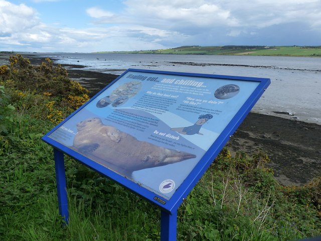
The surrounding coastal waters are home to a diverse marine life, including seals, dolphins, and porpoises, which can often be seen swimming close to the shore. The area is also frequented by otters, which use the creeks and marshes as hunting grounds.
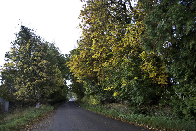
Ardullie Point is not only a haven for wildlife enthusiasts but also offers an opportunity for visitors to enjoy peaceful walks along the coast, taking in the breathtaking views of the firth and the surrounding countryside. The site is accessible via a footpath that leads from the nearby village of Alness, ensuring that this natural gem is easily explored and appreciated by all.
If you have any feedback on the listing, please let us know in the comments section below.
Ardullie Point Images
Images are sourced within 2km of 57.626925/-4.3657346 or Grid Reference NH5862. Thanks to Geograph Open Source API. All images are credited.
Ardullie Point is located at Grid Ref: NH5862 (Lat: 57.626925, Lng: -4.3657346)
Unitary Authority: Highland
Police Authority: Highlands and Islands
What 3 Words
///refuse.book.uplifting. Near Evanton, Highland
Nearby Locations
Related Wikis

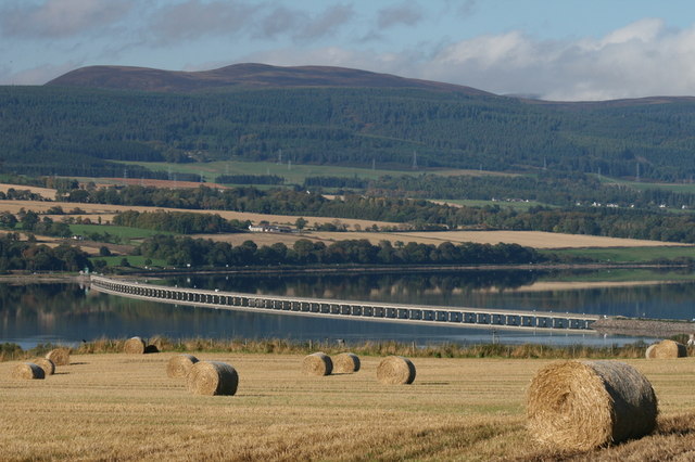
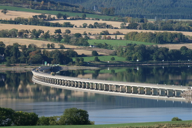
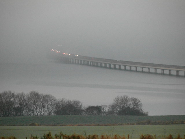
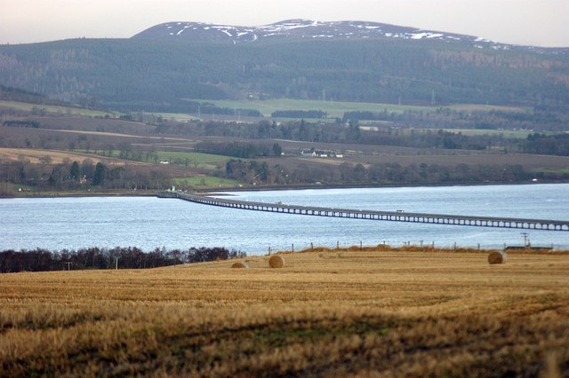
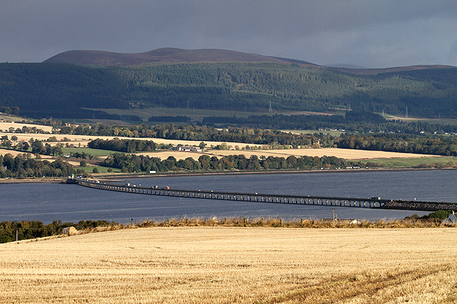
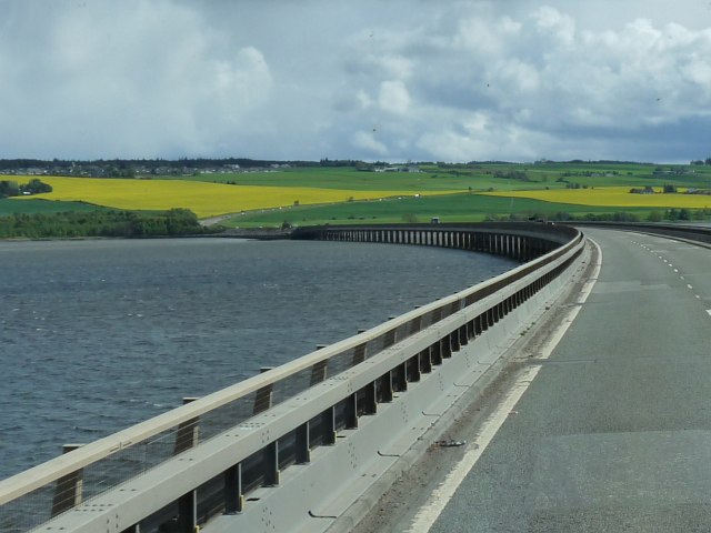
Cromarty Bridge
The Cromarty Bridge is a road bridge over the Cromarty Firth in Scotland. == History == === Design === The bridge joins a junction with the B9163 to the...

Lemlair House
Lemlair House is a mansion house in the parish of Kiltearn, Ross-shire, in the Highland council area of the Scottish Highlands. == History == A 17th century...

Ardullie
Ardullie (Scottish Gaelic: Àird Ilidh) is a village in Ross-shire, in the Highland council area of Scotland. It is on the north shore of the Cromarty Firth...

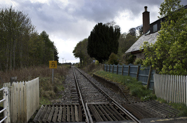
Foulis railway station
Foulis railway station served the village of Ardullie, Highland, Scotland from 1863 to 1964 on the Inverness and Ross-shire Railway. == History == The...

Mountgerald
Mountgerald (Scottish Gaelic: An Claon) is a small hamlet which lies close to the head of the Cromarty Firth, on the west coast. It is 2 miles (3 km)...

Foulis Castle
Foulis Castle is situated two miles south-west of Evanton in the parish of Kiltearn, Ross and Cromarty, Scotland. It is a white washed mansion that incorporates...
Utopia Experiment
The Utopia Experiment was an experiment by Dylan Evans, set up in 2006 at Netherton Farm, near Culbokie on the Black Isle peninsula in the Scottish highlands...
Swordale, Ross-shire
Swordale is a very small village which lies below the hill of the same name and above the River Sgitheach, in the parish of Kiltearn in eastern Ross-shire...
Nearby Amenities
Located within 500m of 57.626925,-4.3657346Have you been to Ardullie Point?
Leave your review of Ardullie Point below (or comments, questions and feedback).