Bar Newydd
Coastal Marsh, Saltings in Merionethshire
Wales
Bar Newydd
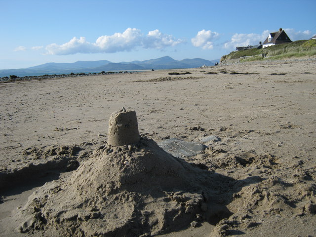
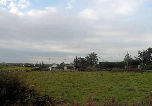
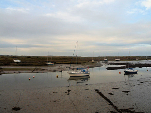
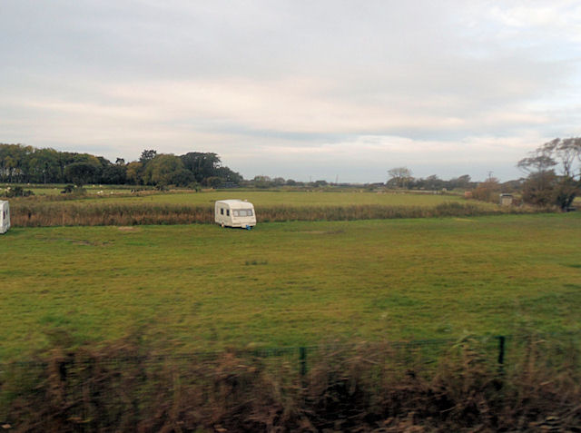
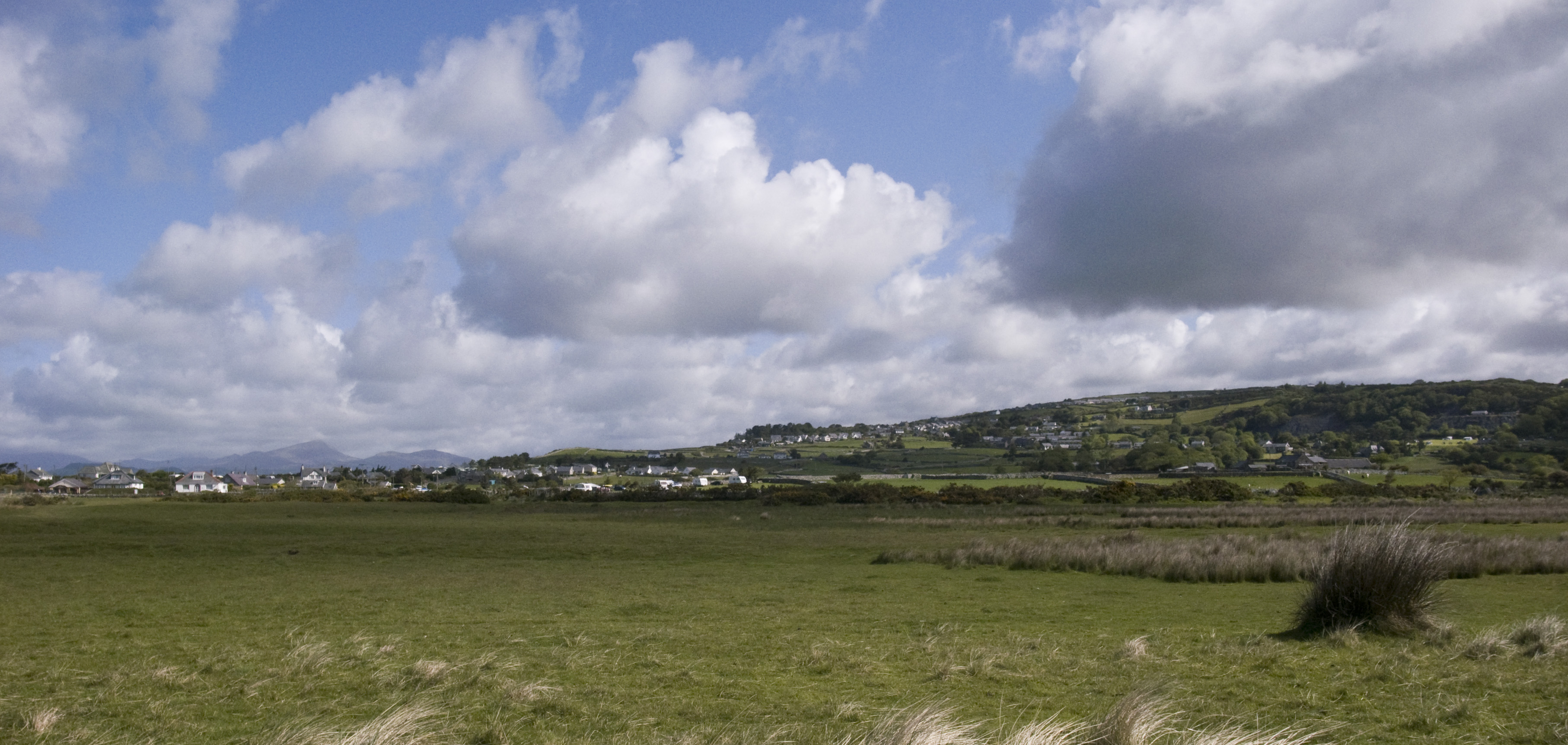
Bar Newydd is a coastal marsh and saltings located in Merionethshire, Wales. Situated near the town of Barmouth, it is a unique and diverse ecosystem that offers a range of natural attractions.
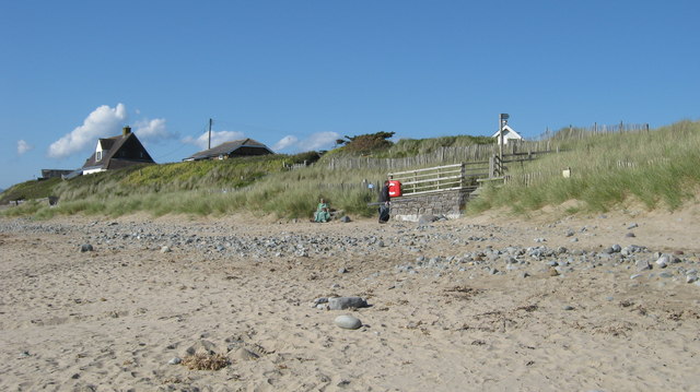
The marshland of Bar Newydd is characterized by its abundant vegetation and rich biodiversity. It is home to various species of plants, including saltmarsh grasses, samphire, and sea lavender, which thrive in the saline conditions. These plants provide essential habitat and food sources for a variety of bird species, including waders such as curlews, redshanks, and oystercatchers.
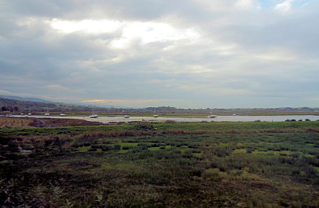
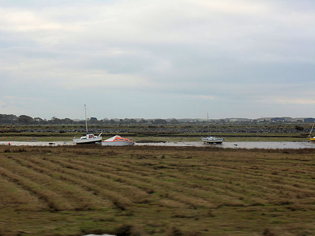
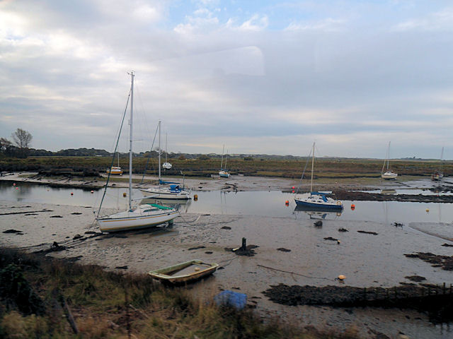
The saltings of Bar Newydd are an integral part of the marshland ecosystem. These are areas of land flooded by saltwater during high tide, creating a brackish environment that supports a unique community of plants and animals. The saltings are known for their salt-tolerant vegetation, such as glasswort and sea purslane, which play a crucial role in stabilizing the soil and preventing erosion.
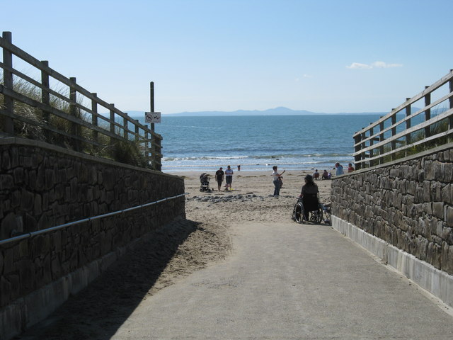
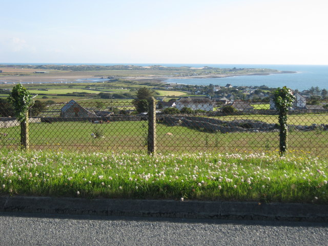
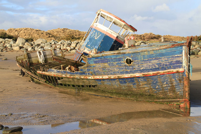
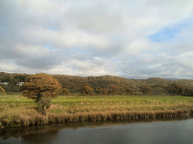
In addition to its ecological significance, Bar Newydd offers stunning natural beauty. The marshland and saltings are surrounded by picturesque views of the Mawddach Estuary and the Snowdonia National Park. Visitors can enjoy leisurely walks along the designated footpaths, taking in the serene atmosphere and observing the wildlife.
Bar Newydd also serves as an important site for scientific research and conservation efforts. Organizations and researchers study the unique ecosystem and monitor the population of bird species, aiding in the preservation of this valuable habitat.
Overall, Bar Newydd in Merionethshire is a captivating coastal marsh and saltings that boasts a diverse array of flora and fauna. Its natural beauty and ecological significance make it a must-visit destination for nature enthusiasts and those interested in environmental conservation.
If you have any feedback on the listing, please let us know in the comments section below.
Bar Newydd Images
Images are sourced within 2km of 52.82737/-4.1322154 or Grid Reference SH5627. Thanks to Geograph Open Source API. All images are credited.
Bar Newydd is located at Grid Ref: SH5627 (Lat: 52.82737, Lng: -4.1322154)
Unitary Authority: Gwynedd
Police Authority: North Wales
What 3 Words
///simulator.competing.snows. Near Llanfair, Gwynedd
Nearby Locations
Related Wikis
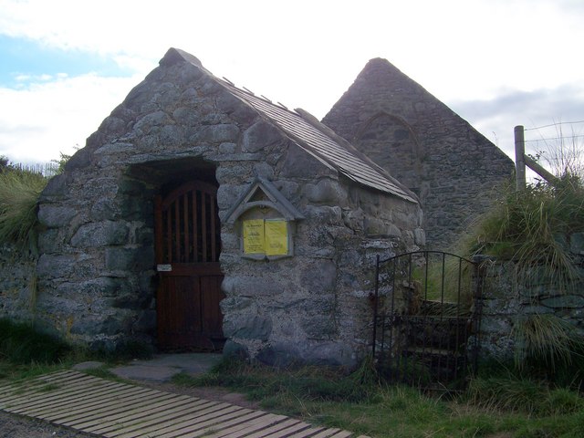
St Tanwg's Church, Llandanwg
St Tanwg's Church, Llandanwg, also known as "the church in the sand", is an early medieval church dedicated to St Tanwg in the village of Llandanwg, Gwynedd...
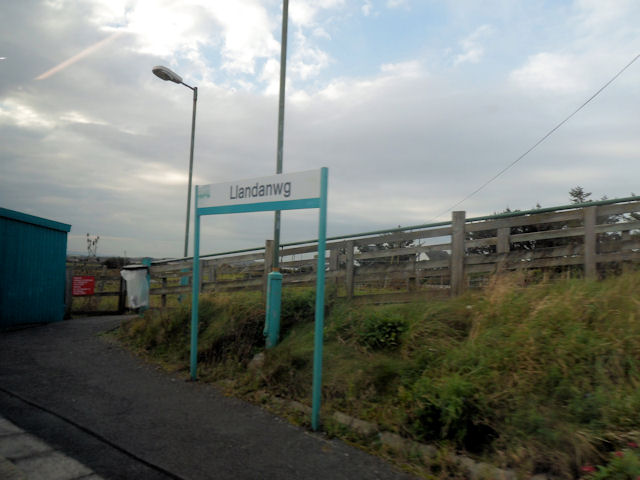
Llandanwg
Llandanwg () is a village in the Llanfair community of the Ardudwy area of Gwynedd, Wales. Situated on the coast, it has a railway station and a Grade...

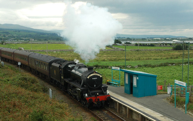
Llandanwg railway station
Llandanwg railway station is in the village of Llandanwg in Gwynedd, Wales. It is an unstaffed halt on the Cambrian Coast Railway with direct passenger...

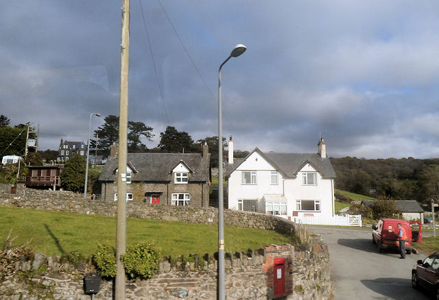
Pensarn, Gwynedd
Pensarn (or Pen-sarn) is a small village in the Ardudwy area of Gwynedd, Wales. It is situated on the coastal road between Llanbedr and Harlech. There...

Pensarn railway station
Pensarn railway station serves the village of Pensarn in Gwynedd, Wales. The station is an unstaffed halt on the Cambrian Coast Railway with passenger...
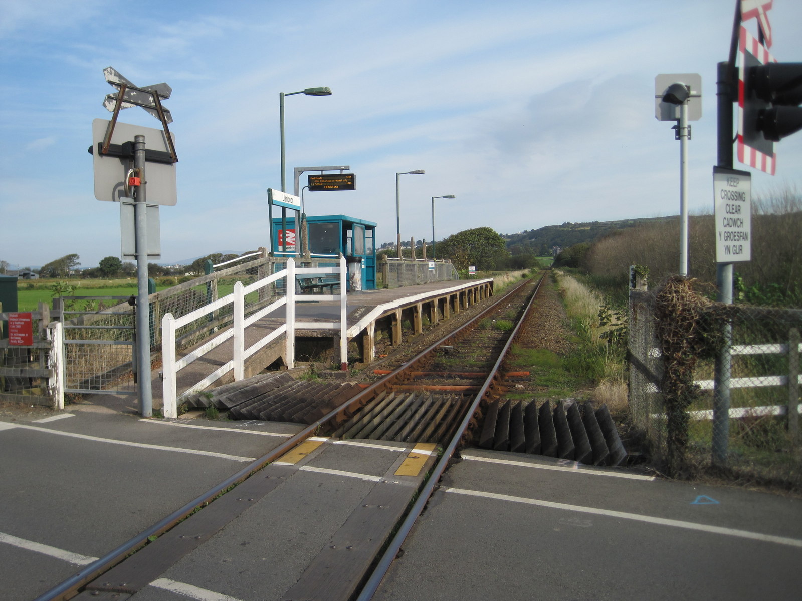
Llanbedr railway station
Llanbedr railway station (formerly Talwrn Bach) serves the village of Llanbedr in Gwynedd, Wales. The station is an unstaffed halt on the Cambrian Coast...

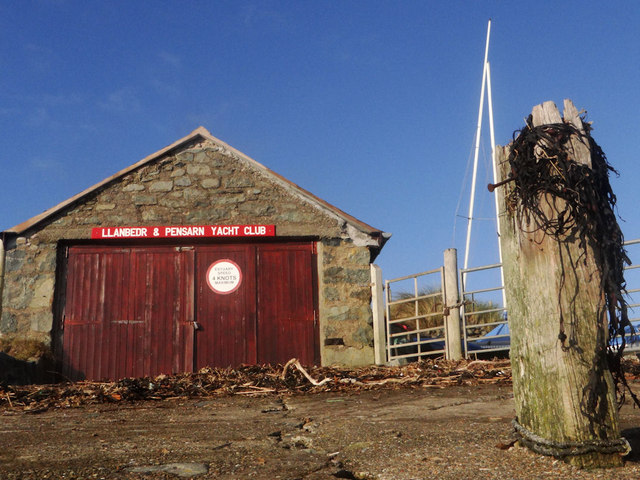
Mochras
Mochras also known as the campsite ‘Shell Island’ and is also Britain’s largest campsite, is a peninsula lying west of Llanbedr in Gwynedd, Wales. It was...
Llanfair, Gwynedd
Llanfair is a village and community in the Ardudwy area of Gwynedd in Wales. It has a population of 474, reducing to 453 at the 2011 census.The village...
Nearby Amenities
Located within 500m of 52.82737,-4.1322154Have you been to Bar Newydd?
Leave your review of Bar Newydd below (or comments, questions and feedback).