Smerdon Marsh

Coastal Marsh, Saltings in Devon West Devon

England

Smerdon Marsh

Old Boundary Marker on the A386 near Southmoor Farm Parish Boundary Marker on Preston Moor, on a concrete plinth on the west side of the A386 immediately south of the drive to Southmoor farm. On the boundary of Inwardleigh and Jaconstowe parishes. Inscribed Here Ends / Inwardleigh / Parish above a horizontal groove. Erected by Okehampton Turnpike Trust around 1822.

Milestone Society National ID: DV_OKHA03pb
Old Boundary Marker on the A386 near Southmoor Farm Credit: A Rosevear

Smerdon Marsh, located in Devon, England, is a coastal marshland area known for its unique ecological features and natural beauty. Situated near the mouth of the River Plym, it forms part of the extensive Plymouth Sound and Estuaries Site of Special Scientific Interest (SSSI).

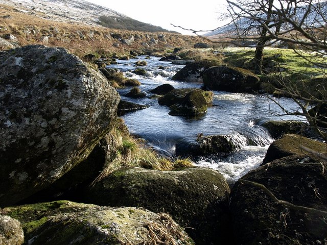
The marshland encompasses a diverse range of habitats, including mudflats, saltmarshes, and brackish lagoons, which are characterized by their high salt content due to the influence of the tides. The area is subject to regular tidal flooding, which creates a dynamic environment supporting a rich variety of flora and fauna.

Smerdon Marsh is home to numerous bird species and is an important breeding ground and wintering site for migratory birds. Species such as curlews, redshanks, and dunlins can be observed here, making it a popular spot for birdwatching enthusiasts. The marsh also supports a variety of plant life, including salt-tolerant grasses, samphire, and sea lavender.

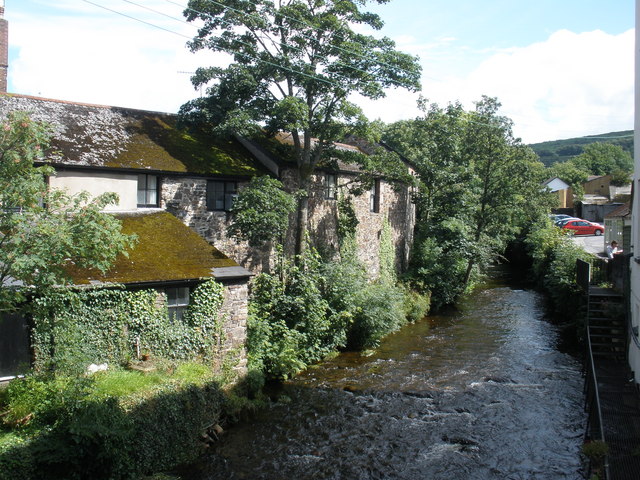
The site is managed by local conservation organizations in collaboration with government agencies to preserve its ecological integrity. Access to Smerdon Marsh is facilitated by well-maintained footpaths and trails that allow visitors to explore the marshland while minimizing disturbance to the wildlife.

In addition to its ecological significance, Smerdon Marsh offers stunning views of the surrounding landscape, with its expansive mudflats and estuaries stretching out towards the horizon. The peaceful atmosphere and natural beauty of the marsh make it a popular destination for nature lovers, photographers, and those seeking tranquility amidst the coastal scenery of Devon.

If you have any feedback on the listing, please let us know in the comments section below.

Smerdon Marsh Images

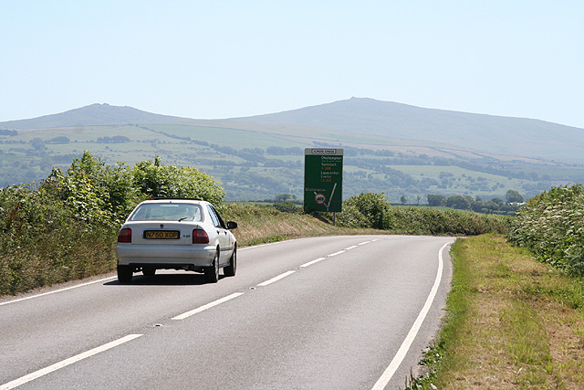
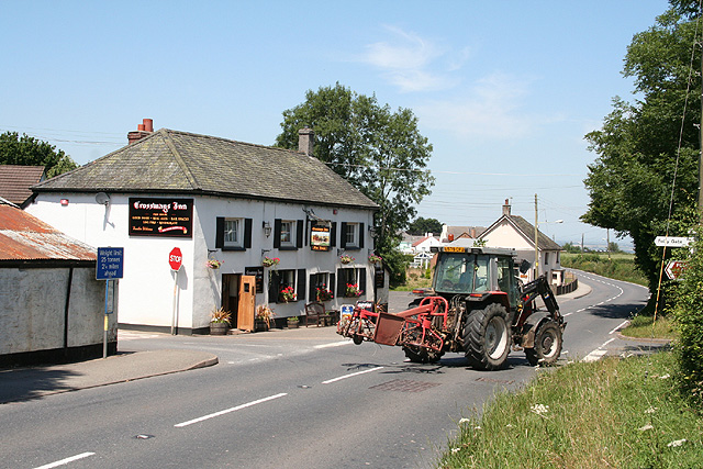
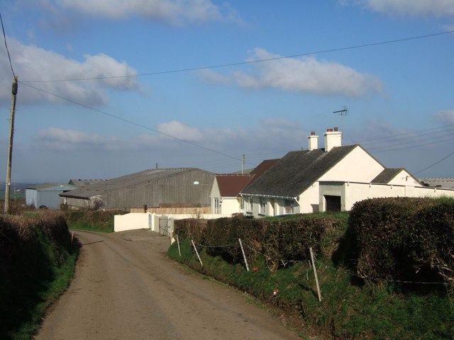
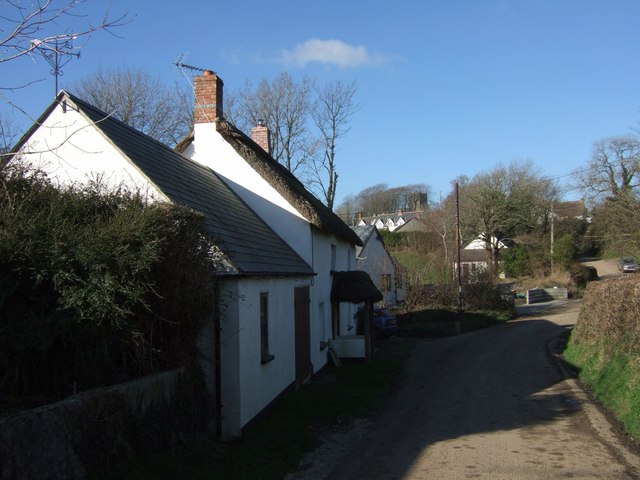
Images are sourced within 2km of 50.767753/-4.0345934 or Grid Reference SX5698. Thanks to Geograph Open Source API. All images are credited.

Old Boundary Marker on the A386 near Southmoor Farm Parish Boundary Marker on Preston Moor, on a concrete plinth on the west side of the A386 immediately south of the drive to Southmoor farm. On the boundary of Inwardleigh and Jaconstowe parishes. Inscribed Here Ends / Inwardleigh / Parish above a horizontal groove. Erected by Okehampton Turnpike Trust around 1822.

Milestone Society National ID: DV_OKHA03pb
Old Boundary Marker on the A386 near Southmoor Farm
Parish Boundary Marker on Preston Moor, on a concrete plinth on the west side of the A386 immediately south of the drive to Southmoor farm. On the boundary of Inwardleigh and Jaconstowe parishes. Inscribed Here Ends / Inwardleigh / Parish above a horizontal groove. Erected by Okehampton Turnpike Trust around 1822. Milestone Society National ID: DV_OKHA03pb
Sharp bend by Southmoor Farm
Inwardleigh: approaching Elmead Cross On the A386 from Hatherleigh, looking south with two Dartmoor tors as the backdrop
Inwardleigh: approaching Elmead Cross
On the A386 from Hatherleigh, looking south with two Dartmoor tors as the backdrop
Inwardleigh: Folly Gate The Crossways Inn. Looking north west
Inwardleigh: Folly Gate
The Crossways Inn. Looking north west
Inwardleigh: copse Woodland between Curworthy and the Northlew Road. Looking south
Inwardleigh: copse
Woodland between Curworthy and the Northlew Road. Looking south
Inwardleigh: Toad Island Toad Island is the name of the cottage on the right. Beyond is a dry ford with a little used and overgrown footbridge alongside. Looking west-north-west
Inwardleigh: Toad Island
Toad Island is the name of the cottage on the right. Beyond is a dry ford with a little used and overgrown footbridge alongside. Looking west-north-west
The turn to Stewardstone The start of the farm road to the two farms at Stewardstone, used by Inwardleigh Footpath 5. The A386 continues northwards towards Lamerton Cross.
The turn to Stewardstone
The start of the farm road to the two farms at Stewardstone, used by Inwardleigh Footpath 5. The A386 continues northwards towards Lamerton Cross.
Glebe Farm The only buildings in the square. It looks as though the original farmhouse has been replaced with this modern bungalow. On the lane between Folly Gate and Inwardleigh.
Glebe Farm
The only buildings in the square. It looks as though the original farmhouse has been replaced with this modern bungalow. On the lane between Folly Gate and Inwardleigh.
St Petrock's church, Inwardleigh "Architecturally uninteresting" is the verdict of Cherry and Pevsner. It is, however, very pleasantly set at the top of a little beech avenue, in a large churchyard.
St Petrock's church, Inwardleigh
"Architecturally uninteresting" is the verdict of Cherry and Pevsner. It is, however, very pleasantly set at the top of a little beech avenue, in a large churchyard.
Medland Brook valley Looking towards the hilltop village of Inwardleigh from below Westacombe. By the stream in the valley is Millbrook.
Medland Brook valley
Looking towards the hilltop village of Inwardleigh from below Westacombe. By the stream in the valley is Millbrook.
The lane to Westacombe The lane gradually descends across the square towards the farms at Westacombe. Here it approaches a small clump of trees at a field boundary.
The lane to Westacombe
The lane gradually descends across the square towards the farms at Westacombe. Here it approaches a small clump of trees at a field boundary.
Pipes at Misdon I guess these are mains water pipes awaiting installation in a field adjoining the A386 just north of Folly Gate, where development of some sort is planned. Behind on the right is Misdon Farm, with Butterford Cottage to the left.
Pipes at Misdon
I guess these are mains water pipes awaiting installation in a field adjoining the A386 just north of Folly Gate, where development of some sort is planned. Behind on the right is Misdon Farm, with Butterford Cottage to the left.
Inwardleigh From the lane approaching the hamlet from Folly Gate, looking past cottages towards the church tower, just visible through trees.
Inwardleigh
From the lane approaching the hamlet from Folly Gate, looking past cottages towards the church tower, just visible through trees.
Scene at Inwardleigh Old agricultural machinery beside an old building close to the war memorial in this hamlet.
Scene at Inwardleigh
Old agricultural machinery beside an old building close to the war memorial in this hamlet.
Snowdrops at Inwardleigh A scene in the churchyard of St Petrock's, just inside the gate a few yards from the south porch.
Snowdrops at Inwardleigh
A scene in the churchyard of St Petrock's, just inside the gate a few yards from the south porch.
Gravestones at Inwardleigh Extraordinary seventeenth century faces carved on these slate gravestones by St Petrock's church, and some beautiful lettering and decoration - plus snowdrops.
Gravestones at Inwardleigh
Extraordinary seventeenth century faces carved on these slate gravestones by St Petrock's church, and some beautiful lettering and decoration - plus snowdrops.
Carvings on gravestones at Inwardleigh Another view of the nearer slate gravestone in <a href="https://www.geograph.org.uk/photo/331690">SX5699 : Gravestones at Inwardleigh</a>. The date is 1781.
Carvings on gravestones at Inwardleigh
Another view of the nearer slate gravestone in SX5699 : Gravestones at Inwardleigh. The date is 1781.
John Squire's gravestone An unusual carved slate gravestone in the churchyard of St Petrock's, Inwardleigh. The date is 1781. See also <a href="https://www.geograph.org.uk/photo/331697">SX5699 : Carvings on gravestones at Inwardleigh</a>.
John Squire's gravestone
An unusual carved slate gravestone in the churchyard of St Petrock's, Inwardleigh. The date is 1781. See also SX5699 : Carvings on gravestones at Inwardleigh.
Show me another place!

Smerdon Marsh is located at Grid Ref: SX5698 (Lat: 50.767753, Lng: -4.0345934)

Administrative County: Devon

District: West Devon

Police Authority: Devon and Cornwall

What 3 Words

///fake.dictation.stammer. Near Okehampton, Devon

Related Wikis

Folly Gate

Folly Gate is a village in the civil parish of Inwardleigh, in the West Devon district, in the county of Devon, England. It is situated near Okehampton...

Inwardleigh

Inwardleigh is a village and civil parish about 3 and a half miles north north west of Okehampton railway station, in the West Devon district, in the county...

A386 road

The A386 is a primary route in Devon, England. It runs from Plymouth on the south coast to Appledore on the north coast. The road starts in the centre...

West Okement River

The West Okement is a river in north Dartmoor in Devon in south-west England. It rises at West Okement Head near Cranmere Pool and flows in a generally...

Brightley Priory

Brightley Priory was founded in 1133 as a Cistercian monastery. It was built in 1136 and was situated about two miles north of Okehampton in Devon and...

East Okement River

East Okement is a river in the Dartmoor moors in Devon in south-west England. It joins the West Okement at Okehampton to form the Okement. == References ==

Jacobstowe

Jacobstowe is a village and civil parish on the west bank of the River Okement, about 4 miles (6.4 km) north of Okehampton in the West Devon district of...

Okehampton

Okehampton ( or ) is a town and civil parish in West Devon in the English county of Devon. It is situated at the northern edge of Dartmoor, and had a population...

Have you been to Smerdon Marsh?

Leave your review of Smerdon Marsh below (or comments, questions and feedback).