Ardgowan Point
Coastal Marsh, Saltings in Renfrewshire
Scotland
Ardgowan Point
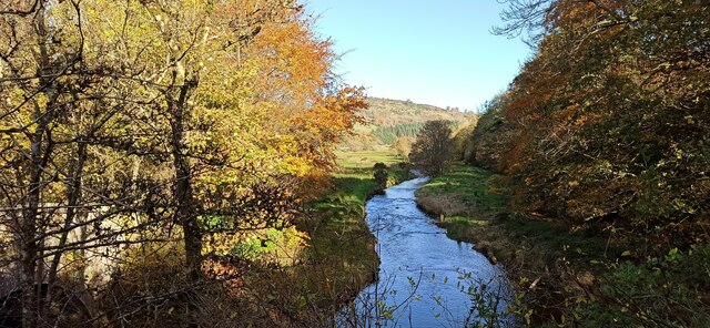
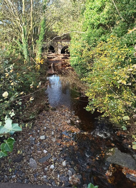
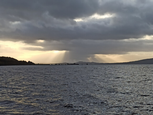
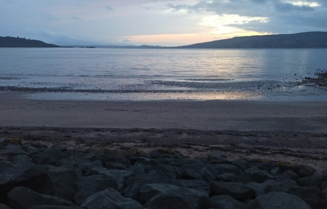
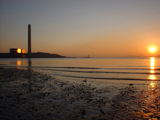
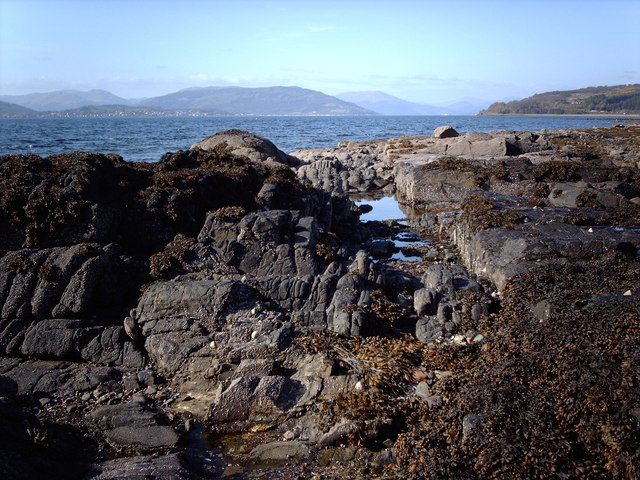
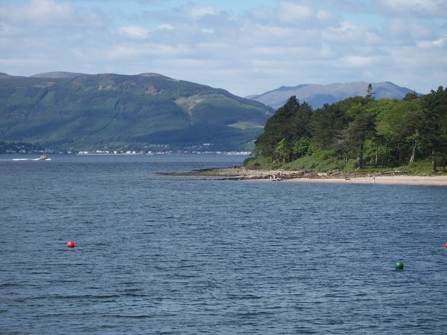
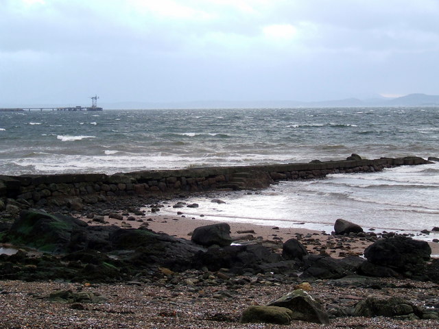
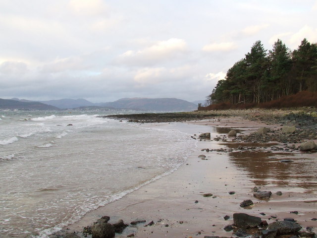
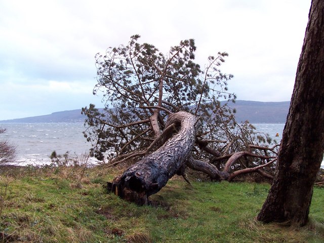
Ardgowan Point, located in Renfrewshire, Scotland, is a picturesque coastal marsh and saltings area that stretches along the estuary of the River Clyde. Covering an expansive area of land, it is a significant natural site of ecological importance.
The marshland at Ardgowan Point is characterized by its diverse range of plant species, including saltmarsh grasses, reeds, and various types of flowering plants. This rich vegetation provides a habitat for a variety of bird species, such as wading birds, ducks, and geese, making it an ideal spot for birdwatching enthusiasts.
The saltings, which are areas of land that are periodically flooded by saltwater, form an integral part of the estuarine ecosystem. They are home to numerous marine organisms, including crustaceans, mollusks, and various species of fish. These intertidal areas play a vital role in maintaining the ecological balance of the estuary and serve as a nursery ground for many marine creatures.
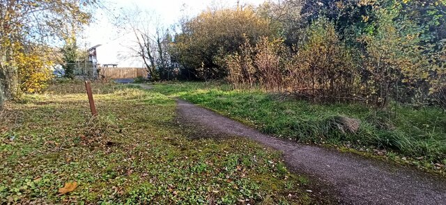
Ardgowan Point offers visitors a peaceful and scenic environment, with stunning views of the River Clyde and its surrounding landscape. The area is accessible by foot, with several walking trails and paths that allow for exploration of the marshland. It is a popular destination for nature lovers, hikers, and photographers seeking to capture the beauty of the Scottish coastline.
In addition to its natural wonders, Ardgowan Point has historical significance, with nearby sites including the historic Ardgowan Estate and Ardgowan House, a stately home dating back to the 18th century. These attractions, combined with the area's natural beauty, make Ardgowan Point a must-visit destination for those looking to immerse themselves in Scotland's natural and cultural heritage.
If you have any feedback on the listing, please let us know in the comments section below.
Ardgowan Point Images
Images are sourced within 2km of 55.914715/-4.8829228 or Grid Reference NS1972. Thanks to Geograph Open Source API. All images are credited.
Ardgowan Point is located at Grid Ref: NS1972 (Lat: 55.914715, Lng: -4.8829228)
Unitary Authority: Inverclyde
Police Authority: Renfrewshire and Inverclyde
What 3 Words
///quail.pokes.position. Near Inverkip, Inverclyde
Nearby Locations
Related Wikis

Ardgowan Castle
Ardgowan Castle, originally called Inverkip Castle, is located in the Private Garden of "Ardgowan House, Castle & Gardens" near Inverkip, Scotland. It...

Lunderston Bay
Lunderston Bay is located on the east coast of the Firth of Clyde in Inverclyde, by the A770 road approximately midway between the town of Gourock and...
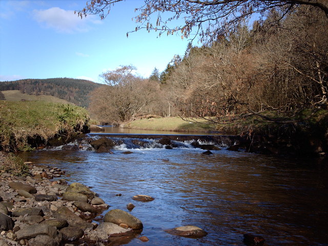
Kip Water, Inverclyde
Kip Water, also known as the River Kip, is a short river in Inverclyde, Scotland which gives the village of Inverkip its name (Inverkip = mouth of the...
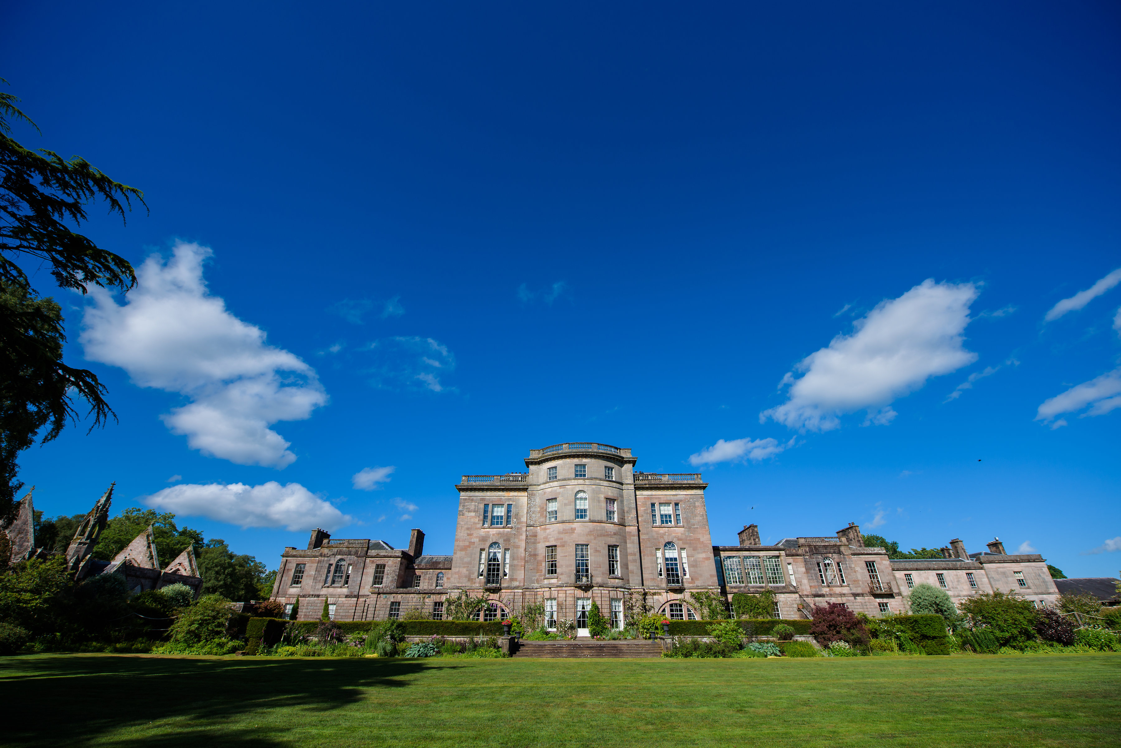
Ardgowan House
Ardgowan House, Castle & Gardens is a Privately owned late 18th-century mansion on the Firth of Clyde near Inverkip, Scotland. Ardgowan is located in Inverclyde...

Inverkip
Inverkip (; Scottish Gaelic: Inbhir Chip) is a village and parish in the Inverclyde council area and historic county of Renfrewshire in the west central...

Inverkip railway station
Inverkip railway station is a railway station serving the village of Inverkip, Inverclyde, Scotland. The station is managed by ScotRail and is on the Inverclyde...

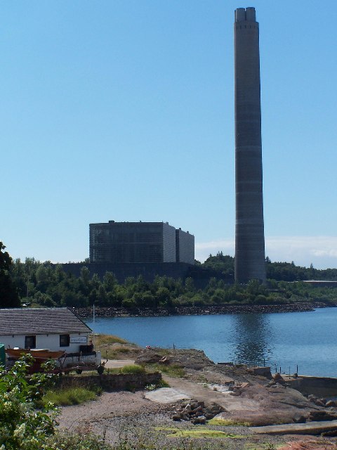
Inverkip power station
Inverkip power station was an oil-fired power station in Inverclyde, on the west coast of Scotland. It was closer to Wemyss Bay than Inverkip, and dominated...

Castle Wemyss
Castle Wemyss was a large mansion in Wemyss Bay, Scotland. It stood on the southern shore of the Firth of Clyde at Wemyss Point, where the firth turns...
Nearby Amenities
Located within 500m of 55.914715,-4.8829228Have you been to Ardgowan Point?
Leave your review of Ardgowan Point below (or comments, questions and feedback).