Hurst, Lower

Settlement in Yorkshire

England

Hurst, Lower

Bus stop, retaining wall and pylon, Sowood near Huddersfield
Bus stop, retaining wall and pylon, Sowood near Huddersfield Credit: Steve Fareham

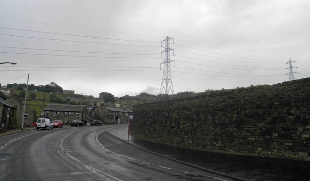
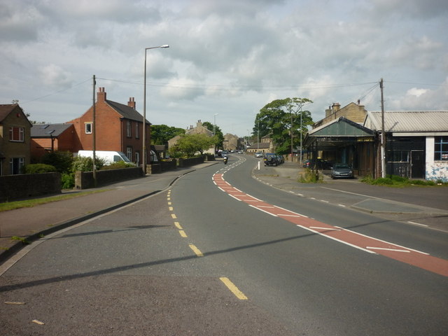
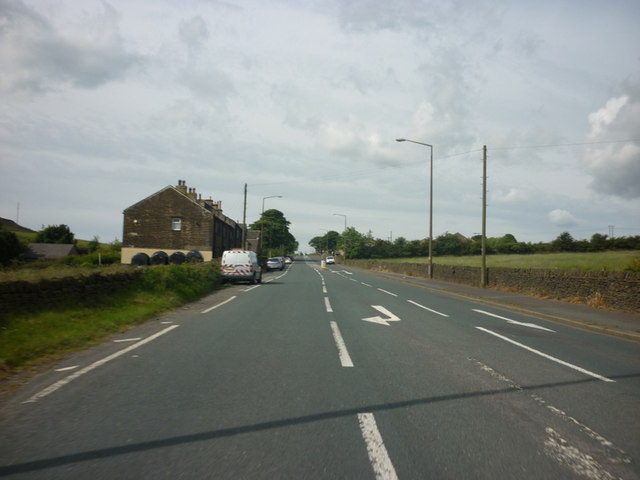
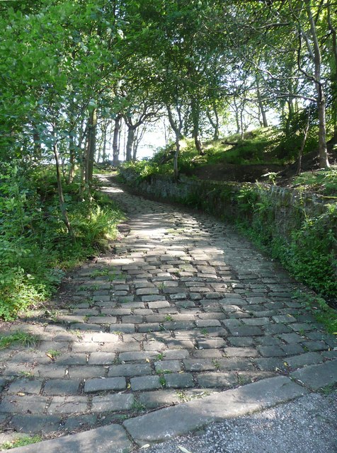
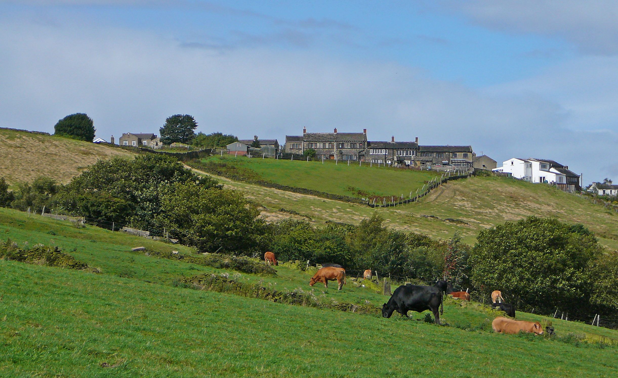
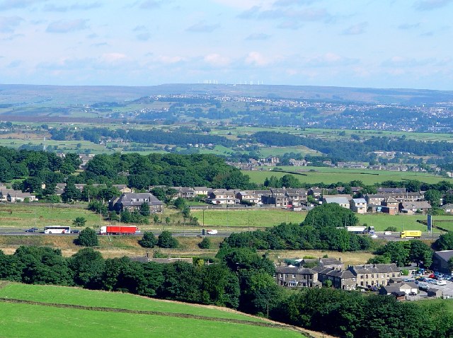
Hurst, Lower is a small village located in the county of Yorkshire, England. Situated in the lower part of the region, it is nestled amidst the picturesque countryside, offering residents and visitors a tranquil and scenic setting.

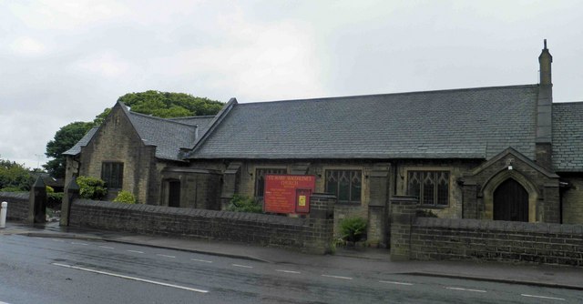
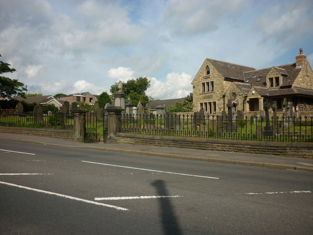
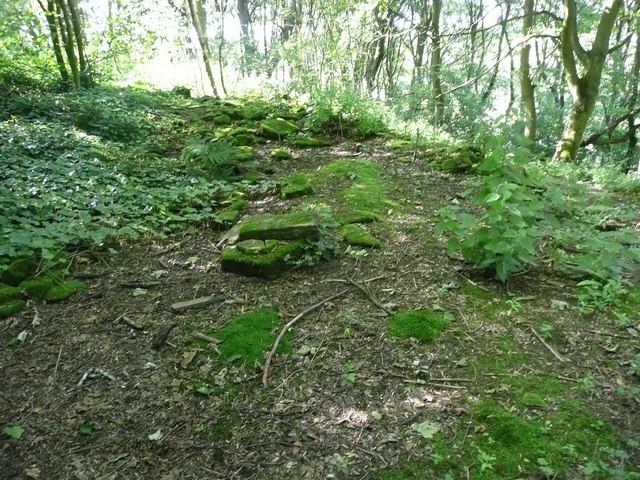
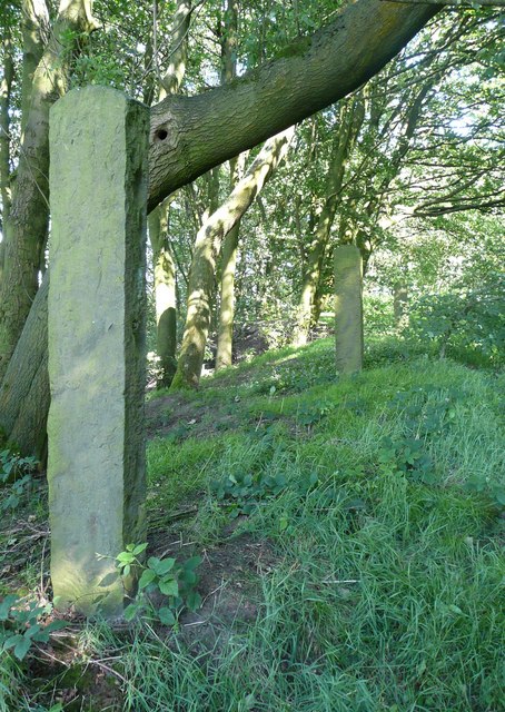
The village is known for its rich history, dating back to medieval times. Evidence of this can be seen in the charming architecture of the village, with some buildings dating back several centuries. The local church, St. Mary's, is a prominent feature, showcasing beautiful stained glass windows and a striking bell tower.

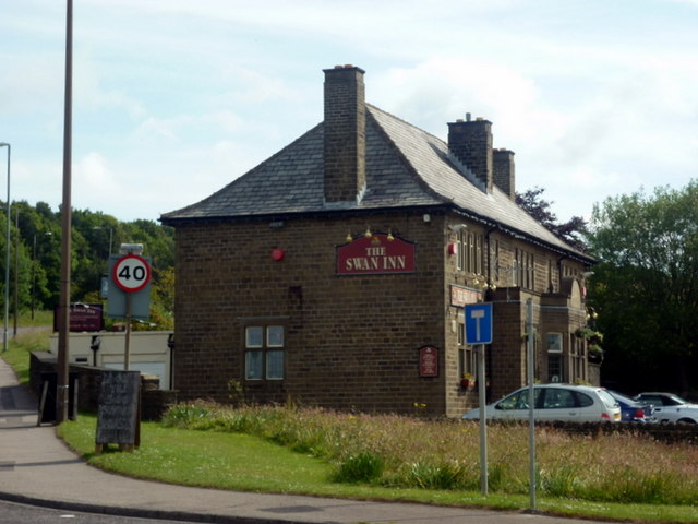
Despite its small size, Hurst, Lower has a close-knit community, with a population of around 500 residents. The village has a strong sense of community spirit, hosting regular events and activities for all age groups. The village hall serves as a hub for social gatherings, and the local pub is a popular spot for residents to relax and socialize.

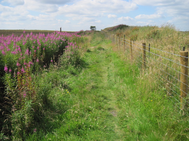
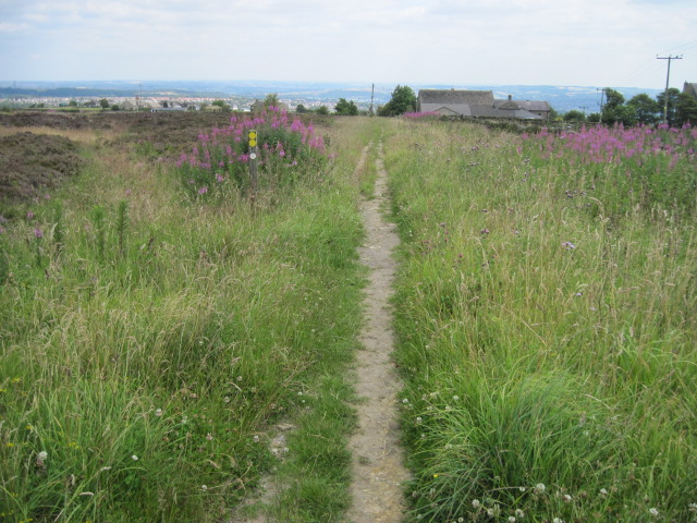
The surrounding countryside offers ample opportunities for outdoor pursuits, with numerous walking and cycling trails crisscrossing the area. The village is also conveniently located near several national parks, providing easy access to breathtaking landscapes and natural beauty.

Although Hurst, Lower may be considered a quiet and peaceful village, it benefits from its proximity to larger towns and cities. The bustling market town of Huddersfield is a short drive away, offering a wide range of amenities, shopping, and entertainment options.

Overall, Hurst, Lower is a charming village that combines historic charm with a strong sense of community, offering residents and visitors a serene and picturesque place to call home.

If you have any feedback on the listing, please let us know in the comments section below.
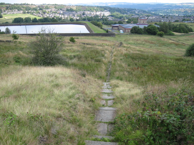
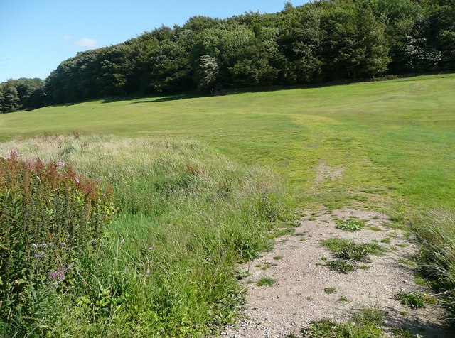
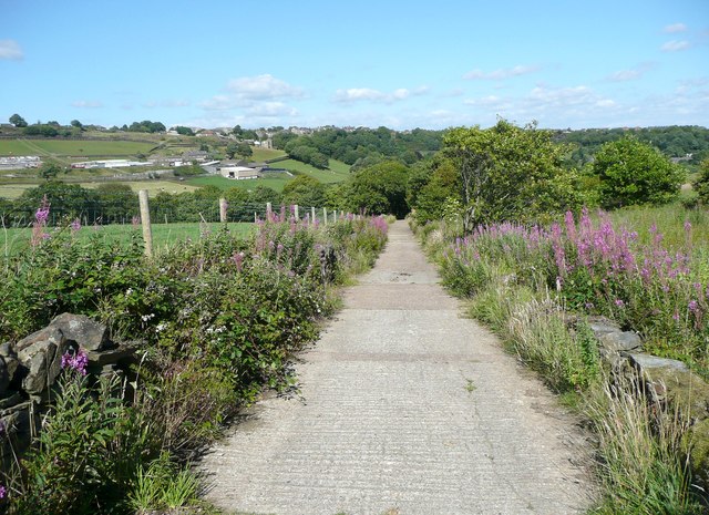
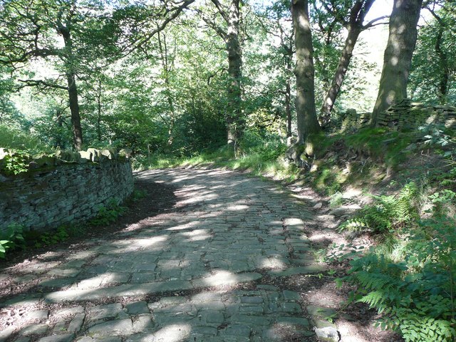
Hurst, Lower Images

Images are sourced within 2km of 53.649427/-1.8653198 or Grid Reference SE0917. Thanks to Geograph Open Source API. All images are credited.

Bus stop, retaining wall and pylon, Sowood near Huddersfield
St. Mary Magdalene's church, Outlane
The 643, Lindley Moor Road
The A640, New Hey Road, goes over the M62
The Swan Inn on New Hey Road, Outlane
New Hey Road, Outlane
A graveyard on New Hey Road, Outlane
New Hey Road leading west from Outlane
Footpath on Wholestone Hill
Footpath toward Scapegoat Hill School
Footpath to Longwood Reservoir
Path across the golf course, Longwood This path leads to Nettleton Hill via the site of Petty Royd, with a branch up through Pighill Wood.
Path across the golf course, Longwood
This path leads to Nettleton Hill via the site of Petty Royd, with a branch up through Pighill Wood.
Shaw Lane, Longwood An old lane, shown on the 1850 six-inch map, now with a modern concrete surface.
Shaw Lane, Longwood
An old lane, shown on the 1850 six-inch map, now with a modern concrete surface.
Shaw Lane, Longwood The bend at the top of the climb up through Hirst Wood.
Shaw Lane, Longwood
The bend at the top of the climb up through Hirst Wood.
Shaw Lane, Longwood The climb up through Hirst Wood. Paving this lane with setts must have been expensive; was it paid for by the owner of Shaw, or by the township?
Shaw Lane, Longwood
The climb up through Hirst Wood. Paving this lane with setts must have been expensive; was it paid for by the owner of Shaw, or by the township?
Site of Petty Royd, Longwood From the name I assume that this was a farmstead made by clearing woodland in the medieval or early modern period. There is very little of the buildings left now.
Site of Petty Royd, Longwood
From the name I assume that this was a farmstead made by clearing woodland in the medieval or early modern period. There is very little of the buildings left now.
Stone posts at Petty Royd, Longwood It seems likely that these are tenter posts, but not the usual type. The cloth pieces were stretched between the post and a hook on the wall of a weaver's cottage. (information from Ian Beesley via Chris Allen)
Stone posts at Petty Royd, Longwood
It seems likely that these are tenter posts, but not the usual type. The cloth pieces were stretched between the post and a hook on the wall of a weaver's cottage. (information from Ian Beesley via Chris Allen)
Footpath east of Petty Royd, Longwood Eventually this path splits, with one way down to Leys and one along the top side of Longwood Reservoir.
Footpath east of Petty Royd, Longwood
Eventually this path splits, with one way down to Leys and one along the top side of Longwood Reservoir.
Show me another place!

Hurst, Lower is located at Grid Ref: SE0917 (Lat: 53.649427, Lng: -1.8653198)

Division: West Riding

Unitary Authority: Kirklees

Police Authority: West Yorkshire

What 3 Words

///means.drift.complains. Near Holywell Green, West Yorkshire

Related Wikis

Nettleton Hill

Nettleton Hill is a hamlet in the Kirklees district in the English county of West Yorkshire. It is situated west of the town of Huddersfield, north of...

Scapegoat Hill

Scapegoat Hill is a small village 5 miles (8 km) west of Huddersfield, West Yorkshire, England. It is near to the villages of Slaithwaite and Golcar. The...

Slack Roman Fort

Slack Roman Fort was a castellum near Outlane, to the west of Huddersfield in West Yorkshire, England. Its site is a scheduled monument. The ruins of the...

Outlane

Outlane is a village in Kirklees, West Yorkshire, England, situated approximately 2.5 miles (4 km) south-west of Elland, 3.7 miles (6 km) north-west of...

Nearby Amenities

Located within 500m of 53.649427,-1.8653198
Turning Circle
Lat/Long: 53.6488205/-1.8626438
Nettleton Hill
Created By: Potlatch 0.10f
Is In: West Yorkshire
Note: Blast from the past up here...
Place: hamlet
Lat/Long: 53.648736/-1.8624121
Barrier: stile
Bicycle: no
Foot: designated
Horse: no
Material: stone
Motor Vehicle: no
Stile: stepover
Lat/Long: 53.6514008/-1.8631333
Barrier: stile
Foot: designated
Material: stone
Motor Vehicle: private
Stile: stepover
Lat/Long: 53.6503807/-1.8597638
Barrier: stile
Bicycle: no
Foot: designated
Horse: no
Material: stone
Motor Vehicle: no
Stile: squeezer
Lat/Long: 53.6458326/-1.8654279
Barrier: stile
Bicycle: no
Horse: no
Material: stone
Motor Vehicle: no
Stile: stepover
Lat/Long: 53.6533111/-1.863456
Barrier: stile
Bicycle: no
Foot: designated
Horse: no
Material: wood
Motor Vehicle: no
Stile: stepover
Lat/Long: 53.648507/-1.8604142
Barrier: stile
Bicycle: no
Foot: designated
Horse: no
Material: wood
Motor Vehicle: no
Lat/Long: 53.6480721/-1.860538
Ford: yes
Lat/Long: 53.6459839/-1.8626262
Barrier: stile
Foot: designated
Material: wood
Stile: stepover
Lat/Long: 53.6458046/-1.8623612
Barrier: stile
Bicycle: no
Foot: designated
Horse: no
Material: wood
Motor Vehicle: no
Stile: stepover
Lat/Long: 53.6456103/-1.86196
Barrier: stile
Bicycle: no
Foot: permissive
Horse: no
Motor Vehicle: no
Stile: stepover
Lat/Long: 53.6527343/-1.8652694
Barrier: stile
Bicycle: no
Foot: designated
Horse: no
Material: wood
Motor Vehicle: no
Stile: stepover
Lat/Long: 53.6535023/-1.8659777
Barrier: stile
Bicycle: no
Foot: designated
Horse: no
Material: stone
Motor Vehicle: no
Stile: stepover
Lat/Long: 53.6511225/-1.8619406
Barrier: stile
Bicycle: no
Description: not much of a squeeze
Foot: designated
Horse: no
Material: wood
Motor Vehicle: no
Stile: squeezer
Lat/Long: 53.6523154/-1.8682726
Barrier: stile
Bicycle: no
Description: remnants of
Foot: designated
Horse: no
Motor Vehicle: no
Lat/Long: 53.6515033/-1.8654787
Barrier: stile
Bicycle: no
Foot: designated
Horse: no
Material: stone
Motor Vehicle: no
Stile: stepover
Lat/Long: 53.6511451/-1.8638559
Barrier: stile
Bicycle: no
Foot: designated
Horse: no
Material: stone
Motor Vehicle: no
Stile: squeezer
Lat/Long: 53.6504819/-1.8609969
Generator Method: wind_turbine
Generator Output Electricity: 11 kW
Generator Source: wind
Power: generator
Lat/Long: 53.6509336/-1.8622928
The data included in this document is from www.openstreetmap.org. The data is made available under ODbL.

Have you been to Hurst, Lower?

Leave your review of Hurst, Lower below (or comments, questions and feedback).