Illey, Lower
Settlement in Worcestershire
England
Illey, Lower
Illey is a small village located in the Lower division of Worcestershire, England. Situated in the West Midlands region, it is nestled in the picturesque Clent Hills, offering residents and visitors stunning views of the surrounding countryside. The village is part of the wider Hagley parish and falls within the Bromsgrove district.
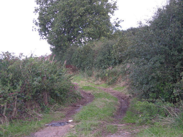
Illey is a close-knit community, with a population of around 500 inhabitants. The village is primarily residential, characterized by charming cottages and houses lining its narrow lanes. The local economy is largely reliant on agriculture, with some residents engaged in farming and horticulture.
The village boasts a rich history, with evidence of human activity in the area dating back to the Bronze Age. Additionally, remnants of an ancient Roman road have been discovered nearby, further highlighting the region's historical significance.
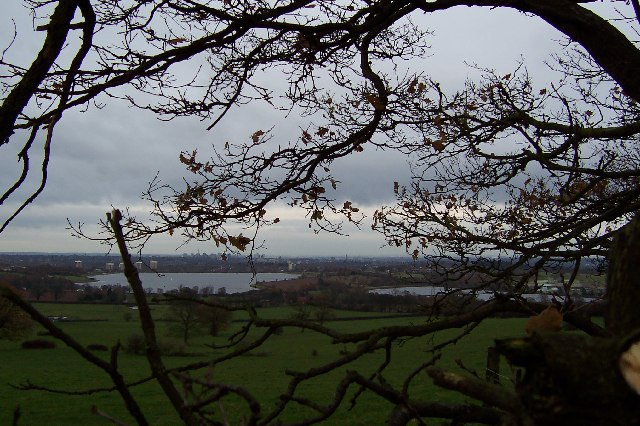
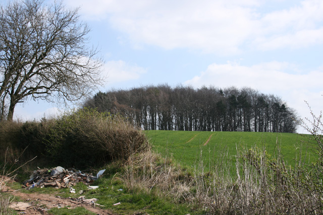
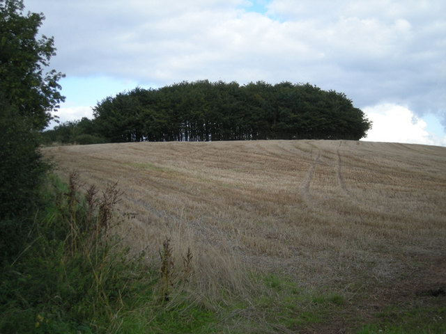
Nature enthusiasts are drawn to Illey for its natural beauty and abundance of outdoor activities. The Clent Hills, a designated Area of Outstanding Natural Beauty, offers a range of walking and hiking trails, making it a popular destination for locals and tourists alike. The nearby Hagley Park also provides opportunities for recreational activities such as picnicking and wildlife spotting.
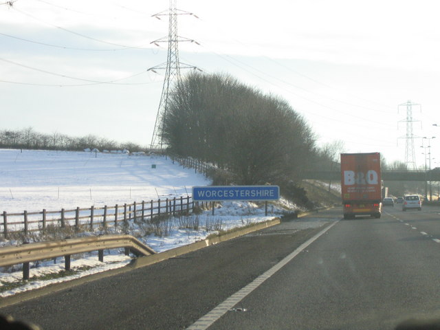
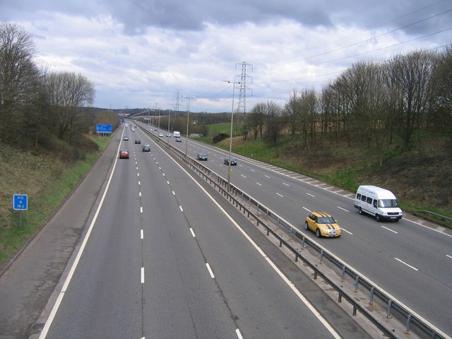
Although Illey is a quiet and tranquil village, it benefits from its proximity to larger towns and cities. The village is conveniently located near the M5 motorway, providing easy access to Birmingham, Worcester, and other major urban centers. This accessibility allows residents to enjoy the tranquility of village life while still having access to the amenities and employment opportunities of larger towns.
If you have any feedback on the listing, please let us know in the comments section below.
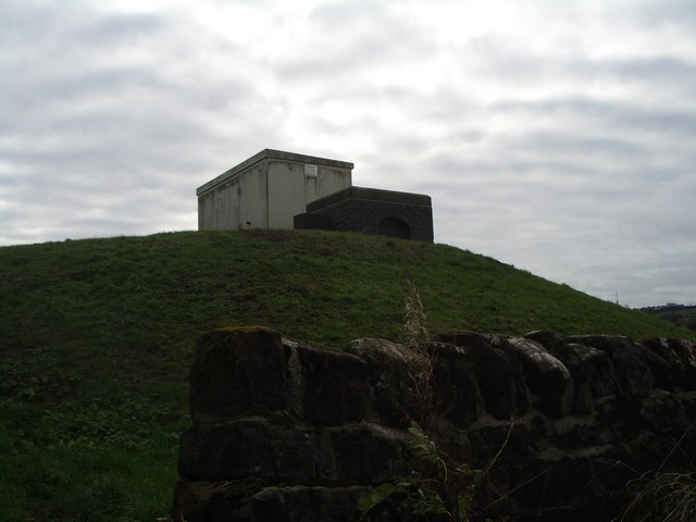
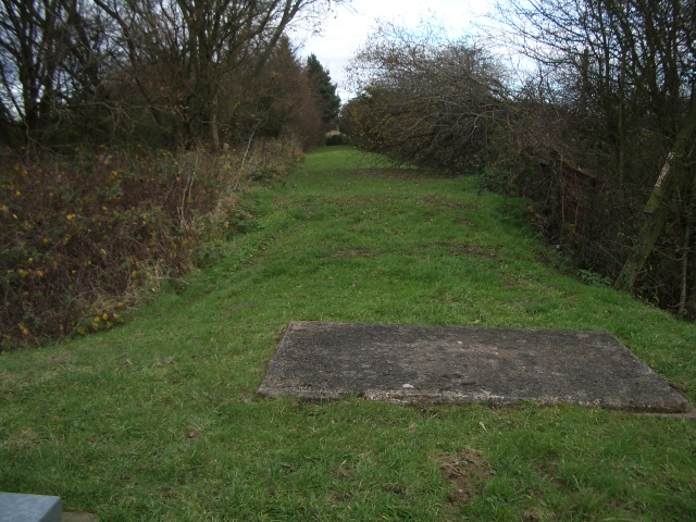
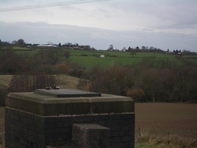
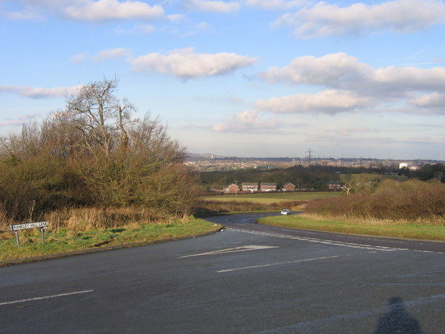
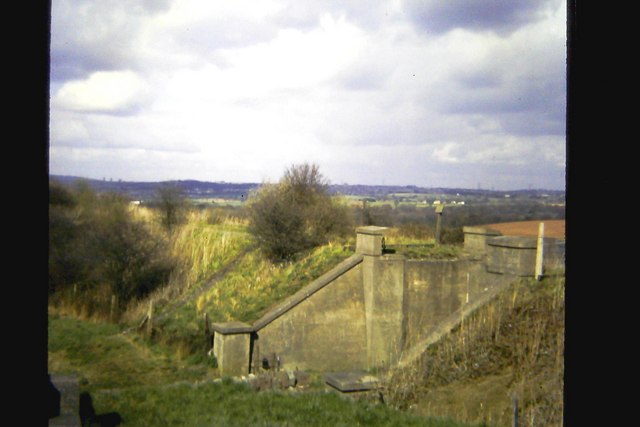
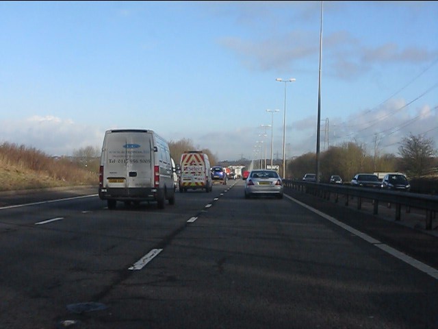
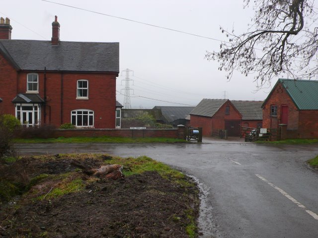
Illey, Lower Images
Images are sourced within 2km of 52.429917/-2.029677 or Grid Reference SO9881. Thanks to Geograph Open Source API. All images are credited.

Illey, Lower is located at Grid Ref: SO9881 (Lat: 52.429917, Lng: -2.029677)
Unitary Authority: Dudley
Police Authority: West Midlands
What 3 Words
///smiles.cities.cute. Near Romsley, Worcestershire
Nearby Locations
Related Wikis

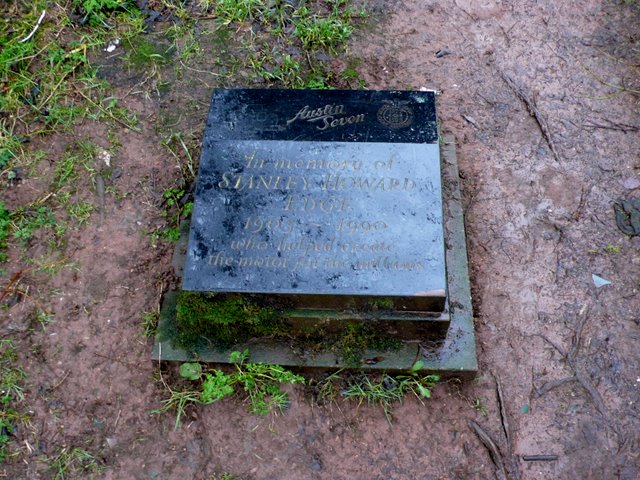
Illey Pastures
Illey Pastures is a 3.5-hectare (8.6-acre) biological site of Special Scientific Interest in the West Midlands. The site was notified in 1989 under the...
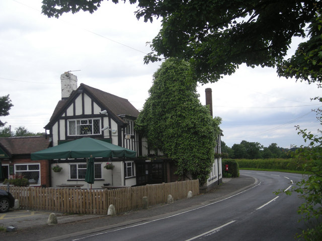
Illey
Illey is a hamlet south of Halesowen in the Dudley district, in the county of the West Midlands, England. == History == Illey was historically a township...
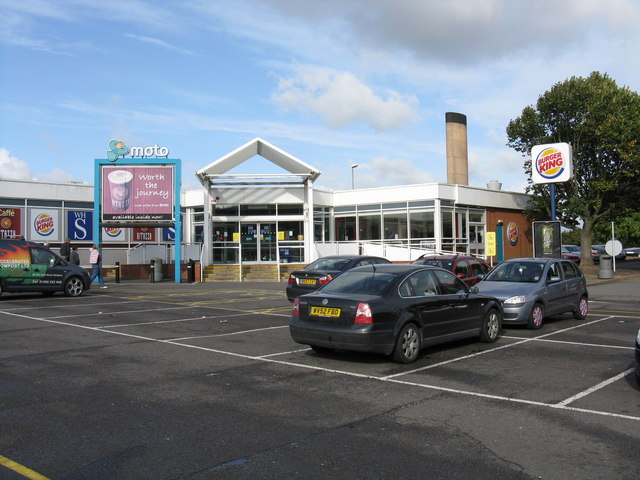
Frankley services
Frankley services is a motorway service station on the M5 motorway between Junctions 3 (A456, Quinton Interchange) and 4 (A38, Lydiate Ash), near Birmingham...
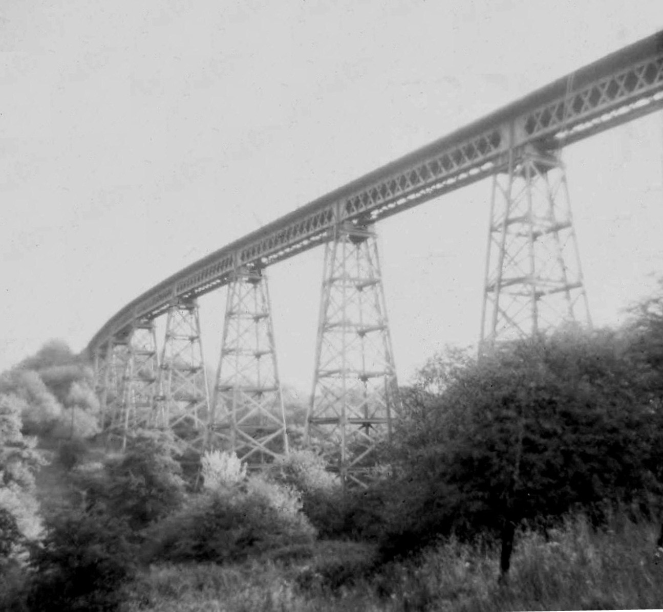
Dowery Dell Viaduct
Dowery Dell, between Rubery and Halesowen in Worcestershire, was a 234 yards (214 m), nine span lattice steel, single-track railway viaduct that carried...
Related Videos

Walking to The Lady Pool ...Leasows...Mucklow Hill...
The Lady Pool ... Did a Lady drown in the Lady Pool? The story in the 70s was that she did...and she was never found...is this ...

The Ultimate Halesowen Town Centre Tour
Take a virtual walk through Halesowen Town Centre in this 4k video tour. Explore the sights and sounds of this charming town in ...

The Ultimate 4k Walking Tour of Cornbow Shopping Centre
Join us on a walking tour of the Cornbow Shopping Centre in Halesowen. Explore the shops and atmosphere in stunning 4k ...

Woodgate and Selly Oak circular 16th October 2022
We started at Highfield recreational ground in Quinton. We then walked down and into Woodgate Valley Country Park and ...
Nearby Amenities
Located within 500m of 52.429917,-2.029677Have you been to Illey, Lower?
Leave your review of Illey, Lower below (or comments, questions and feedback).