Leeches Hill

Hill, Mountain in Yorkshire

England

Leeches Hill

Bus stop, retaining wall and pylon, Sowood near Huddersfield
Bus stop, retaining wall and pylon, Sowood near Huddersfield Credit: Steve Fareham

Leeches Hill is a prominent hill located in the picturesque region of Yorkshire, England. Situated in the North York Moors National Park, this natural landmark offers breathtaking views and enchanting landscapes.

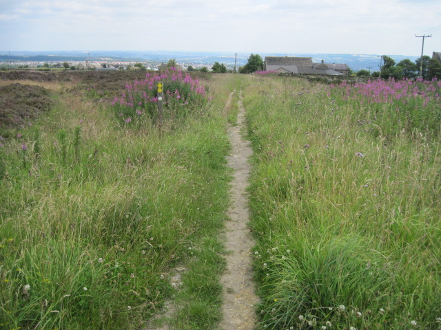
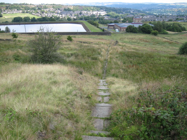
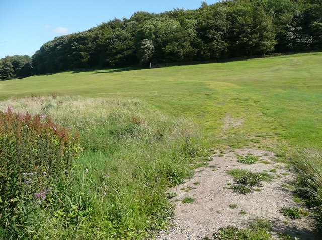
Rising to an elevation of approximately 400 meters (1,300 feet), Leeches Hill is known for its distinctive conical shape and lush vegetation. The hill is covered in heather and grass, which create a vibrant mosaic of colors during the summer months. Its slopes are steep and rugged, adding to the allure and challenge for hikers and nature enthusiasts.

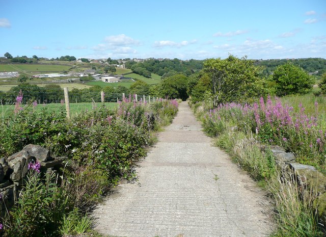
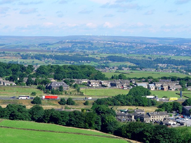
The summit of Leeches Hill provides panoramic vistas of the surrounding countryside, including the rolling hills, meandering rivers, and charming villages that dot the landscape. On a clear day, visitors can even catch a glimpse of the distant North Sea. The hill is a popular destination for both locals and tourists seeking an escape into nature and a chance to immerse themselves in the tranquility of the Yorkshire countryside.

The area surrounding Leeches Hill is home to a diverse range of wildlife, including various species of birds, mammals, and insects. Ornithologists often visit the hill to observe rare bird species that inhabit the region. Additionally, the hill is home to a variety of wildflowers, adding bursts of color to the landscape.

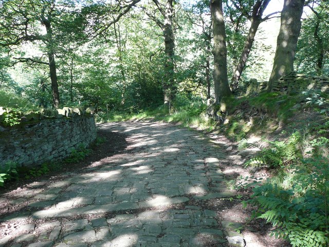
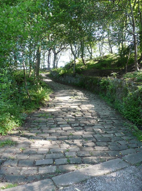
For those seeking outdoor adventures, Leeches Hill offers a network of walking trails and footpaths, allowing visitors to explore its beauty at their own pace. Whether it be a leisurely stroll or a challenging hike, this natural landmark promises an unforgettable experience for all who venture to its summit.

If you have any feedback on the listing, please let us know in the comments section below.
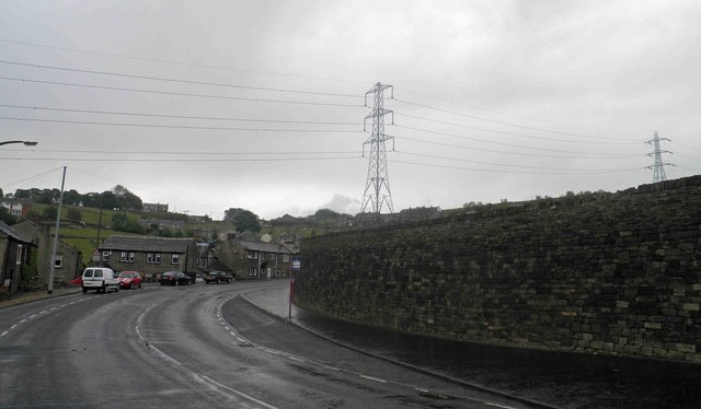
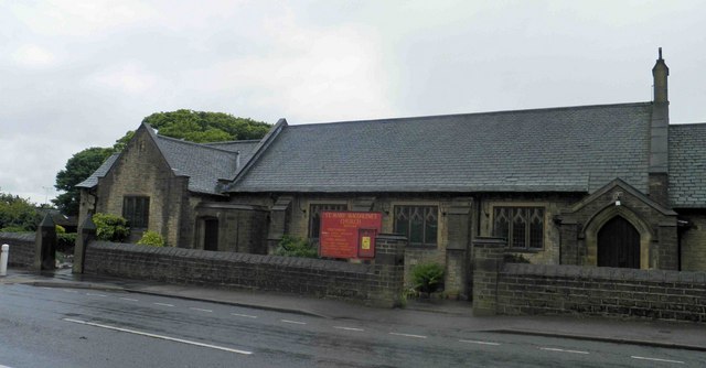
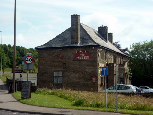
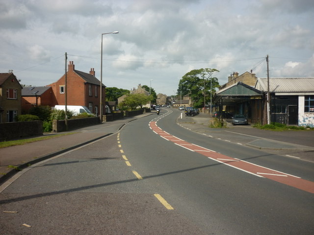
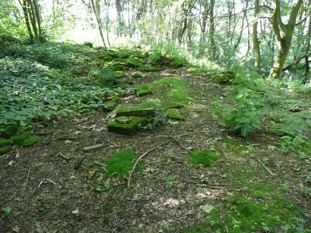
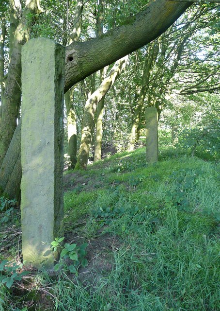
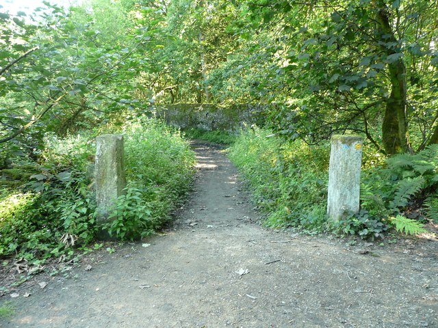
Leeches Hill Images

Images are sourced within 2km of 53.658193/-1.8595571 or Grid Reference SE0917. Thanks to Geograph Open Source API. All images are credited.

Bus stop, retaining wall and pylon, Sowood near Huddersfield
St. Mary Magdalene's church, Outlane
The 643, Lindley Moor Road
The A640, New Hey Road, goes over the M62
The Swan Inn on New Hey Road, Outlane
New Hey Road, Outlane
A graveyard on New Hey Road, Outlane
New Hey Road leading west from Outlane
Footpath toward Scapegoat Hill School
Footpath to Longwood Reservoir
Path across the golf course, Longwood This path leads to Nettleton Hill via the site of Petty Royd, with a branch up through Pighill Wood.
Path across the golf course, Longwood
This path leads to Nettleton Hill via the site of Petty Royd, with a branch up through Pighill Wood.
Shaw Lane, Longwood An old lane, shown on the 1850 six-inch map, now with a modern concrete surface.
Shaw Lane, Longwood
An old lane, shown on the 1850 six-inch map, now with a modern concrete surface.
Shaw Lane, Longwood The bend at the top of the climb up through Hirst Wood.
Shaw Lane, Longwood
The bend at the top of the climb up through Hirst Wood.
Shaw Lane, Longwood The climb up through Hirst Wood. Paving this lane with setts must have been expensive; was it paid for by the owner of Shaw, or by the township?
Shaw Lane, Longwood
The climb up through Hirst Wood. Paving this lane with setts must have been expensive; was it paid for by the owner of Shaw, or by the township?
Site of Petty Royd, Longwood From the name I assume that this was a farmstead made by clearing woodland in the medieval or early modern period. There is very little of the buildings left now.
Site of Petty Royd, Longwood
From the name I assume that this was a farmstead made by clearing woodland in the medieval or early modern period. There is very little of the buildings left now.
Stone posts at Petty Royd, Longwood It seems likely that these are tenter posts, but not the usual type. The cloth pieces were stretched between the post and a hook on the wall of a weaver's cottage. (information from Ian Beesley via Chris Allen)
Stone posts at Petty Royd, Longwood
It seems likely that these are tenter posts, but not the usual type. The cloth pieces were stretched between the post and a hook on the wall of a weaver's cottage. (information from Ian Beesley via Chris Allen)
Footpath east of Petty Royd, Longwood Eventually this path splits, with one way down to Leys and one along the top side of Longwood Reservoir.
Footpath east of Petty Royd, Longwood
Eventually this path splits, with one way down to Leys and one along the top side of Longwood Reservoir.
Entrance to Hirst Mill, Longwood Not very grand, but presumably there was a gate here at one time.
Entrance to Hirst Mill, Longwood
Not very grand, but presumably there was a gate here at one time.
Show me another place!

Leeches Hill is located at Grid Ref: SE0917 (Lat: 53.658193, Lng: -1.8595571)

Division: West Riding

Unitary Authority: Kirklees

Police Authority: West Yorkshire

What 3 Words

///stands.wicked.river. Near Holywell Green, West Yorkshire

Related Wikis

Slack Roman Fort

Slack Roman Fort was a castellum near Outlane, to the west of Huddersfield in West Yorkshire, England. Its site is a scheduled monument. The ruins of the...

Outlane

Outlane is a village in Kirklees, West Yorkshire, England, situated approximately 2.5 miles (4 km) south-west of Elland, 3.7 miles (6 km) north-west of...

Stainland and District

Stainland and District is a civil parish in the Metropolitan Borough of Calderdale in West Yorkshire, England. The main settlements in the parish are Stainland...

Old Lindley

Old Lindley or Over Lindley is a hamlet in the civil parish of Stainland and District, in the Calderdale district, in the county of West Yorkshire, England...

Nearby Amenities

Located within 500m of 53.658193,-1.8595571
Motorway Junction
Outlane Interchange
Ref: 23
Lat/Long: 53.6589525/-1.8644929
Mount
Is In: Huddersfield
Is In Country: UK
Is In County: West Yorkshire
Is In District: Kirklees
Is In Town: Huddersfield
Place: village
Lat/Long: 53.6596871/-1.8536975
Bus Stop
New Hey Road Mount Avenue
Local Ref: 45022480
Naptan AtcoCode: 450022480
Naptan Bearing: E
Naptan CommonName: New Hey Road Mount Avenue
Naptan Crossing: Mount Avenue
Naptan Indicator: Stop 45022480
Naptan Landmark: Quarry Garage
Naptan Notes: OSR taken place 061205 size 1 case fitted
Naptan PlusbusZoneRef: LEEDS
Naptan ShortCommonName: Mount
Naptan Street: New Hey Road
Naptan Verified: no
Source: naptan_import
Lat/Long: 53.658945/-1.8576968
Bus Stop
New Hey Road Moorlands Road
Local Ref: 45022481
Naptan AtcoCode: 450022481
Naptan Bearing: E
Naptan CommonName: New Hey Road Moorlands Road
Naptan Crossing: Moorlands Road
Naptan Indicator: Stop 45022481
Naptan Landmark: Church
Naptan PlusbusZoneRef: LEEDS
Naptan ShortCommonName: Moorlands Road
Naptan Street: New Hey Road
Naptan Verified: no
Source: naptan_import
Lat/Long: 53.6585633/-1.8541874
Bus Stop
New Hey Road Ray Gate
Local Ref: 45021403
Naptan AtcoCode: 450021403
Naptan Bearing: W
Naptan CommonName: New Hey Road Ray Gate
Naptan Crossing: Nr-At Ray Gate
Naptan Indicator: Stop 45021403
Naptan Landmark: Post Office
Naptan PlusbusZoneRef: LEEDS
Naptan ShortCommonName: Ray Gate
Naptan Street: New Hey Road
Naptan Verified: no
Source: naptan_import
Lat/Long: 53.6585292/-1.8557613
Bus Stop
New Hey Road Mount Avenue
Local Ref: 45021404
Naptan AtcoCode: 450021404
Naptan Bearing: W
Naptan CommonName: New Hey Road Mount Avenue
Naptan Crossing: Nr-Opp Mount Avenue
Naptan Indicator: Stop 45021404
Naptan PlusbusZoneRef: LEEDS
Naptan ShortCommonName: New Hey Rd Mount
Naptan Street: New Hey Road
Naptan Verified: no
Source: naptan_import
Lat/Long: 53.6587473/-1.8577579
Bus Stop
Lindley Moor Road Roman Drive
Local Ref: 45022735
Naptan AtcoCode: 450022735
Naptan Bearing: NE
Naptan CommonName: Lindley Moor Road Roman Drive
Naptan Crossing: Adj Roman Drive
Naptan Indicator: Stop 45022735
Naptan PlusbusZoneRef: LEEDS
Naptan ShortCommonName: New Hey Road
Naptan Street: Lindley Moor Road
Naptan Verified: no
Source: naptan_import
Lat/Long: 53.6609849/-1.8572813
Bus Stop
Lindley Moor Road Roman Drive
Local Ref: 45022736
Naptan AtcoCode: 450022736
Naptan Bearing: SW
Naptan CommonName: Lindley Moor Road Roman Drive
Naptan Crossing: Nr-Opp Roman Drive
Naptan Indicator: Stop 45022736
Naptan PlusbusZoneRef: LEEDS
Naptan ShortCommonName: New Hey Road
Naptan Street: Lindley Moor Road
Naptan Verified: no
Source: naptan_import
Lat/Long: 53.6609038/-1.8571302
Place Of Worship
Mount Methodist Church
Denomination: methodist
Religion: christian
Lat/Long: 53.6587165/-1.8538362
Barrier: block
Bicycle: yes
Foot: yes
Horse: yes
Motor Vehicle: no
Lat/Long: 53.654573/-1.8622588
Access: no
Barrier: stile
Foot: designated
Material: stone
Stile: stepover
Lat/Long: 53.656294/-1.8543876
Phone
Check Date: 2023-08-06
Emergency: phone
Lat/Long: 53.660117/-1.8604794
Phone
Check Date: 2023-08-06
Emergency: phone
Lat/Long: 53.6604834/-1.8605617
Generator Method: photovoltaic
Generator Output Electricity: yes
Generator Source: solar
Generator Type: solar_photovoltaic_panel
Location: roof
Power: generator
Lat/Long: 53.6587141/-1.8595256
Generator Method: photovoltaic
Generator Output Electricity: yes
Generator Source: solar
Generator Type: solar_photovoltaic_panel
Location: roof
Power: generator
Lat/Long: 53.6587555/-1.8596839
Generator Method: photovoltaic
Generator Output Electricity: yes
Generator Source: solar
Generator Type: solar_photovoltaic_panel
Location: roof
Power: generator
Lat/Long: 53.6588747/-1.8609097
Generator Method: photovoltaic
Generator Output Electricity: yes
Generator Source: solar
Generator Type: solar_photovoltaic_panel
Location: roof
Power: generator
Lat/Long: 53.6613001/-1.8540834
Generator Method: photovoltaic
Generator Output Electricity: yes
Generator Source: solar
Generator Type: solar_photovoltaic_panel
Location: roof
Power: generator
Lat/Long: 53.6601113/-1.8550303
Generator Method: photovoltaic
Generator Output Electricity: yes
Generator Source: solar
Generator Type: solar_photovoltaic_panel
Location: roof
Power: generator
Lat/Long: 53.6598458/-1.8546252
Generator Method: photovoltaic
Generator Output Electricity: yes
Generator Source: solar
Generator Type: solar_photovoltaic_panel
Location: roof
Power: generator
Lat/Long: 53.6598172/-1.8544563
Generator Method: photovoltaic
Generator Output Electricity: yes
Generator Source: solar
Generator Type: solar_photovoltaic_panel
Location: roof
Power: generator
Lat/Long: 53.6598013/-1.8543597
Generator Method: photovoltaic
Generator Output Electricity: yes
Generator Source: solar
Generator Type: solar_photovoltaic_panel
Location: roof
Power: generator
Lat/Long: 53.6605579/-1.8542202
Generator Method: photovoltaic
Generator Output Electricity: yes
Generator Source: solar
Generator Type: solar_photovoltaic_panel
Location: roof
Power: generator
Lat/Long: 53.6603179/-1.8544241
Generator Method: photovoltaic
Generator Output Electricity: yes
Generator Source: solar
Generator Type: solar_photovoltaic_panel
Location: roof
Power: generator
Lat/Long: 53.6594993/-1.8550517
Access: no
Barrier: stile
Bicycle: no
Foot: designated
Horse: no
Material: stone
Motor Vehicle: no
Stile: squeezer
Lat/Long: 53.6555775/-1.8547642
Barrier: block
Bicycle: yes
Foot: yes
Horse: yes
Motor Vehicle: no
Lat/Long: 53.6555759/-1.8595939
Barrier: stile
Bicycle: no
Foot: designated
Horse: no
Motor Vehicle: no
Lat/Long: 53.6559567/-1.8643551
Barrier: yes
Foot: yes
Lat/Long: 53.6589964/-1.85834
Barrier: block
Bicycle: yes
Foot: yes
Horse: yes
Motor Vehicle: no
Lat/Long: 53.6564335/-1.8585922
Barrier: cycle_barrier
Lat/Long: 53.6589561/-1.85467
Barrier: cycle_barrier
Lat/Long: 53.6586659/-1.8547824
The data included in this document is from www.openstreetmap.org. The data is made available under ODbL.

Have you been to Leeches Hill?

Leave your review of Leeches Hill below (or comments, questions and feedback).