Brown Hill
Hill, Mountain in Yorkshire Craven
England
Brown Hill
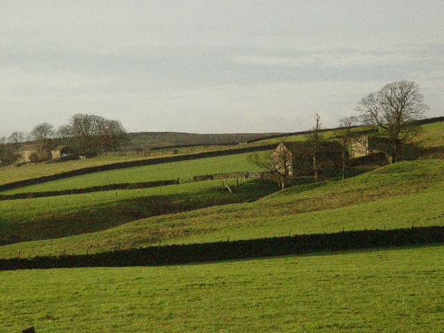
Brown Hill is a prominent hill located in the county of Yorkshire, England. Situated in the region of West Yorkshire, it is part of the larger Pennine mountain range. With an elevation of approximately 450 meters (1,480 feet), it offers stunning panoramic views of the surrounding countryside.
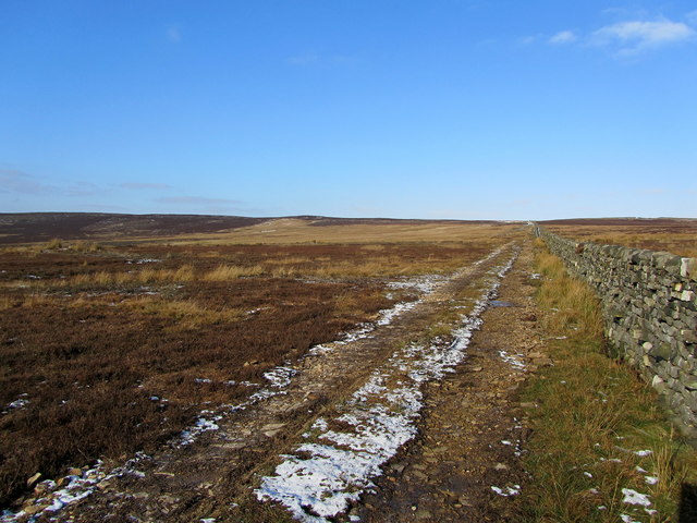
The hill is characterized by its distinctive brownish color, which is caused by the presence of iron oxide in the soil. This unique feature gives Brown Hill its name and makes it easily recognizable from afar. The terrain is mostly rugged and rocky, with scattered patches of grass and heather covering the slopes.
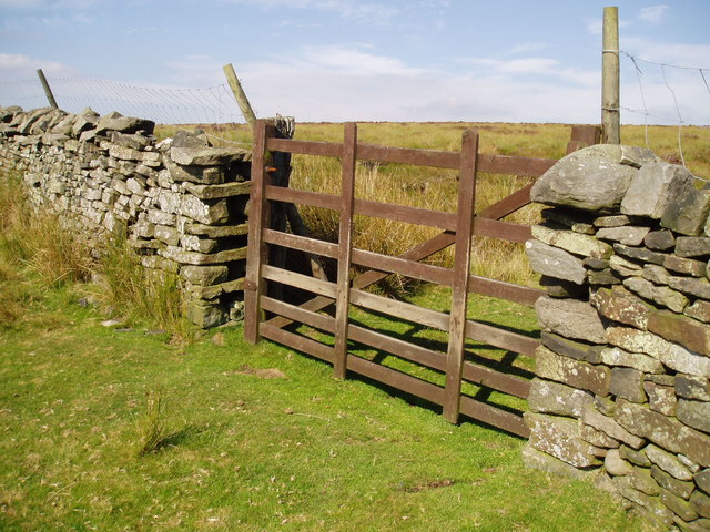
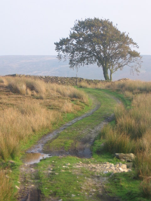
Brown Hill is a popular destination for hikers and outdoor enthusiasts due to its accessibility and natural beauty. Several well-marked trails traverse the hill, allowing visitors to explore its diverse flora and fauna. The hill provides a habitat for a variety of wildlife, including birds, rabbits, and small mammals.
On a clear day, the summit of Brown Hill offers breathtaking views of the surrounding Yorkshire Dales National Park. The hill's strategic location also provides an excellent vantage point to observe the nearby towns and villages, such as Hebden Bridge and Haworth, famous for being the home of the Brontë sisters.
Overall, Brown Hill is a picturesque and captivating destination that showcases the natural splendor of Yorkshire. Whether it is for a challenging hike or simply to enjoy the tranquility of the countryside, this hill offers a memorable experience for all who visit.
If you have any feedback on the listing, please let us know in the comments section below.
Brown Hill Images
Images are sourced within 2km of 54.000128/-1.8583803 or Grid Reference SE0956. Thanks to Geograph Open Source API. All images are credited.


![Old and new roads Looking downhill along the A59 [left], with the old road to the right. This section leading east from Bolton Bridge used to be a winding and tortuous ascent, but the road was re-engineered in the 1970's. Still a hazardous road with sections of three lane, whilst North Yorkshire Police are often here waiting for speeders.](https://s0.geograph.org.uk/geophotos/01/17/72/1177236_ef067388.jpg)


Brown Hill is located at Grid Ref: SE0956 (Lat: 54.000128, Lng: -1.8583803)
Division: West Riding
Administrative County: North Yorkshire
District: Craven
Police Authority: North Yorkshire
What 3 Words
///successes.shrimps.revisits. Near Addingham, West Yorkshire
Nearby Locations
Related Wikis

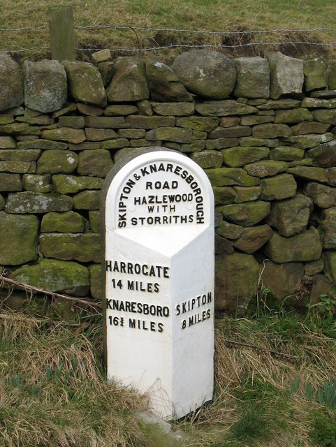
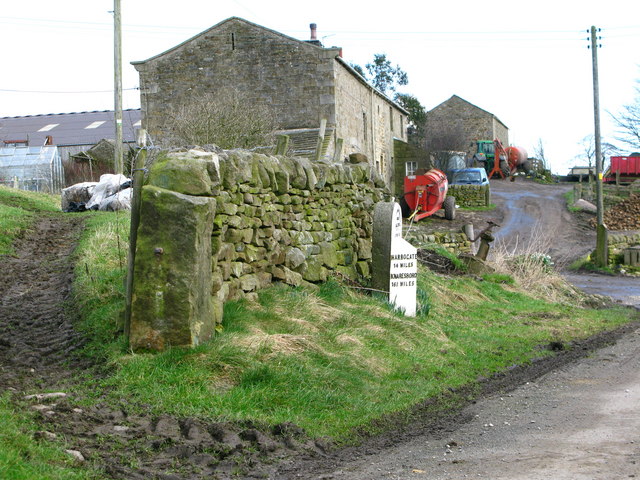
Hazlewood with Storiths
Hazlewood with Storiths is a civil parish in the Craven district of North Yorkshire, England. The population of the civil parish as of the 2011 census...

Hazlewood
Hazlewood is a hamlet in the English county of North Yorkshire. Hazlewood lies to the east of the town of Skipton by 7.5 miles (12.1 km) and is located...

Cavendish memorial fountain
The Cavendish memorial fountain is a drinking fountain erected in 1886 at Bolton Abbey, North Yorkshire, England as a memorial to Lord Frederick Cavendish...

Bolton Abbey
Bolton Abbey in Wharfedale, North Yorkshire, England, takes its name from the ruins of the 12th-century Augustinian monastery now known as Bolton Priory...
Nearby Amenities
Located within 500m of 54.000128,-1.8583803Have you been to Brown Hill?
Leave your review of Brown Hill below (or comments, questions and feedback).