Hammerthorn Hill
Hill, Mountain in Yorkshire Craven
England
Hammerthorn Hill
Hammerthorn Hill is a prominent geographical feature located in Yorkshire, England. Situated in the picturesque region of the Yorkshire Dales, this hill is known for its striking natural beauty and captivating landscape.
With an elevation of approximately 413 meters (1,355 feet), Hammerthorn Hill is classified as a hill rather than a mountain. However, its commanding presence and commanding views make it a popular destination for hikers and nature enthusiasts. The hill is part of a larger range of hills known as the Pennines, which stretches across northern England.
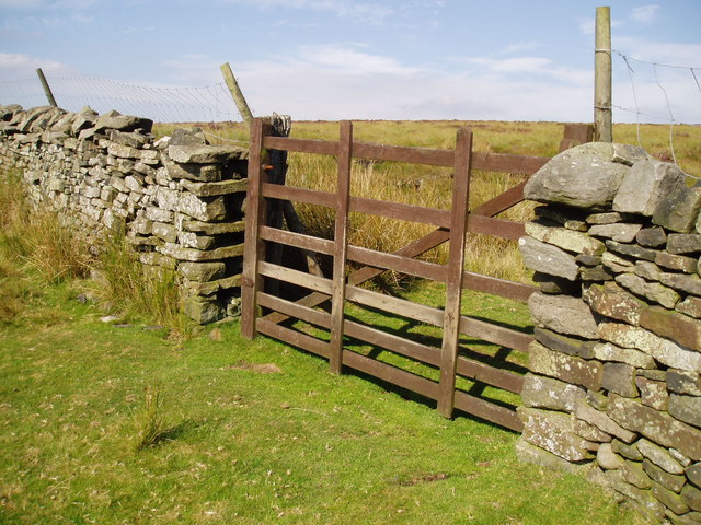
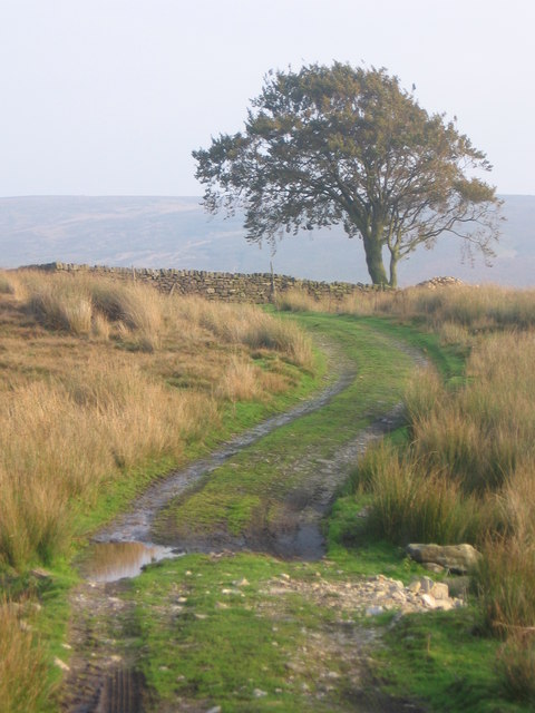
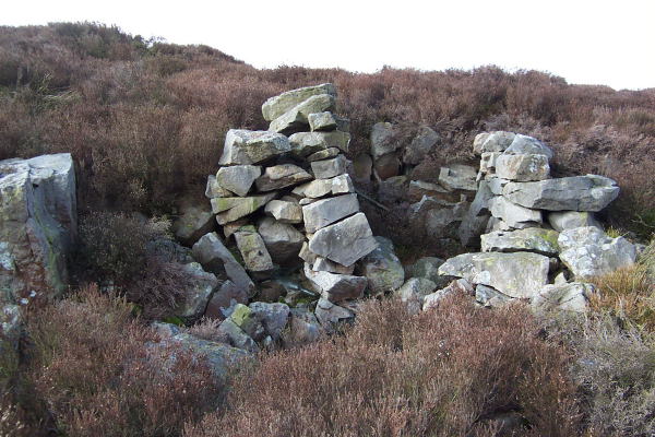
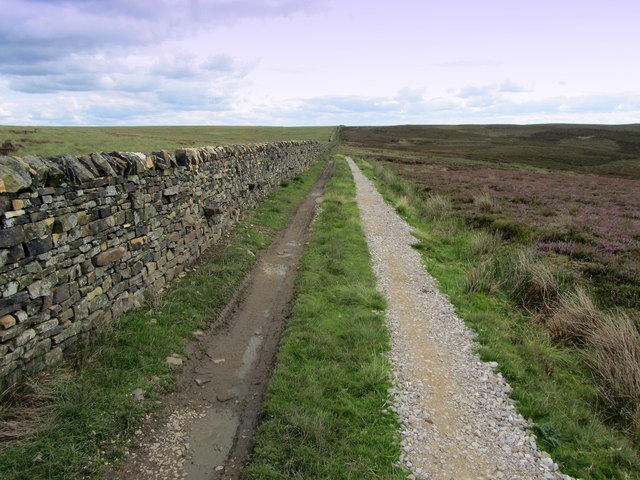
Hammerthorn Hill is characterized by its rugged and undulating terrain, covered in lush green vegetation and scattered with rocky outcrops. The summit of the hill offers breathtaking panoramic vistas of the surrounding countryside, including rolling hills, meandering rivers, and idyllic villages. On clear days, it is even possible to catch a glimpse of the distant Yorkshire Moors.
The hill is home to a diverse range of plant and animal species. The surrounding moorlands attract a variety of birds, including grouse and curlew, making it a haven for birdwatching enthusiasts. Additionally, the hill is dotted with sheep farms, showcasing the agricultural heritage of the region.
Access to Hammerthorn Hill is relatively easy, with several footpaths and trails leading to its summit. The hill provides an excellent opportunity for outdoor activities such as hillwalking, jogging, and picnicking. Whether it is a leisurely stroll or a challenging hike, Hammerthorn Hill offers a memorable experience for visitors seeking to immerse themselves in the natural beauty of Yorkshire.
If you have any feedback on the listing, please let us know in the comments section below.
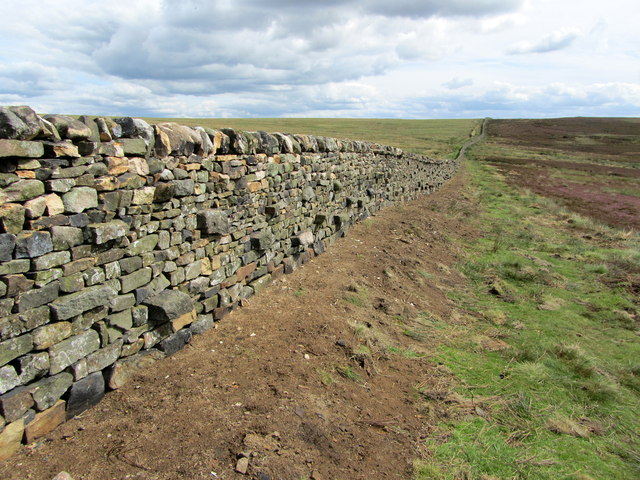
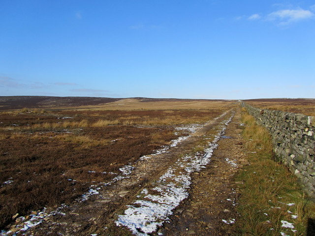
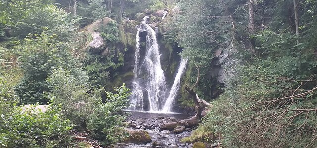
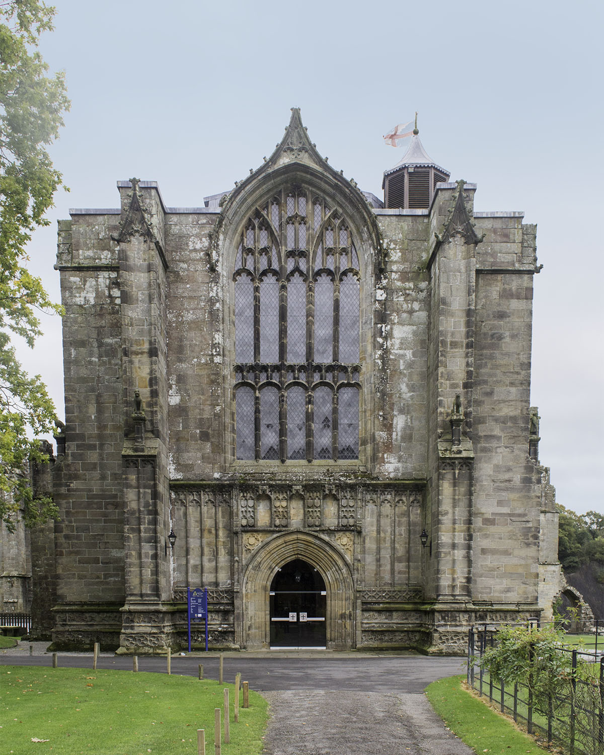
Hammerthorn Hill Images
Images are sourced within 2km of 54.006101/-1.862861 or Grid Reference SE0956. Thanks to Geograph Open Source API. All images are credited.


![A circular walk along the River Wharfe [1] Leaving the Cavendish Pavilion, the track enters woodland.
Starting from the Cavendish Pavilion, the walk follows the west bank of the River Wharfe upstream, passing The Strid, to the Barden Aqueduct Bridge. Crossing to the east bank, the walk continues downstream to return to the starting point. Just over 3½ miles.](https://s1.geograph.org.uk/geophotos/07/01/89/7018925_66eb2f66.jpg)
![A circular walk along the River Wharfe [2] The river, seen from the path near the Sulphur Well.
Starting from the Cavendish Pavilion, the walk follows the west bank of the River Wharfe upstream, passing The Strid, to the Barden Aqueduct Bridge. Crossing to the east bank, the walk continues downstream to return to the starting point. Just over 3½ miles.](https://s2.geograph.org.uk/geophotos/07/01/89/7018930_cd410f5d.jpg)
![A circular walk along the River Wharfe [3] The river looking upstream, seen from the path.
Starting from the Cavendish Pavilion, the walk follows the west bank of the River Wharfe upstream, passing The Strid, to the Barden Aqueduct Bridge. Crossing to the east bank, the walk continues downstream to return to the starting point. Just over 3½ miles.](https://s1.geograph.org.uk/geophotos/07/01/89/7018933_c493bcd6.jpg)
Hammerthorn Hill is located at Grid Ref: SE0956 (Lat: 54.006101, Lng: -1.862861)
Division: West Riding
Administrative County: North Yorkshire
District: Craven
Police Authority: North Yorkshire
What 3 Words
///tractor.stub.driftwood. Near Addingham, West Yorkshire
Nearby Locations
Related Wikis

Hazlewood with Storiths
Hazlewood with Storiths is a civil parish in the Craven district of North Yorkshire, England. The population of the civil parish as of the 2011 census...

Cavendish memorial fountain
The Cavendish memorial fountain is a drinking fountain erected in 1886 at Bolton Abbey, North Yorkshire, England as a memorial to Lord Frederick Cavendish...

Hazlewood
Hazlewood is a hamlet in the English county of North Yorkshire. Hazlewood lies to the east of the town of Skipton by 7.5 miles (12.1 km) and is located...

Bolton Abbey
Bolton Abbey in Wharfedale, North Yorkshire, England, takes its name from the ruins of the 12th-century Augustinian monastery now known as Bolton Priory...
Bolton Priory
Bolton Priory, whose full title is The Priory Church of St Mary and St Cuthbert, Bolton Abbey, is a Grade I listed parish church of the Church of England...

Bolton Abbey (village)
Bolton Abbey is a village and civil parish in the Craven district of North Yorkshire, England, 22 miles (35 km) north-west of Leeds. The village lies in...

Simon's Seat
Simon's Seat is a peak in the Yorkshire Dales in northern England. It is a prominent outcrop of millstone grit on the eastern side of Wharfedale. Although...
Beamsley Hospital
Beamsley Hospital is an Almshouse building at Beamsley, near Skipton in North Yorkshire, and founded in 1593 by the Lady Margaret Russell, the Countess...
Nearby Amenities
Located within 500m of 54.006101,-1.862861Have you been to Hammerthorn Hill?
Leave your review of Hammerthorn Hill below (or comments, questions and feedback).