Rubha Gortan an t-Saillir

Coastal Marsh, Saltings in Inverness-shire

Scotland

Rubha Gortan an t-Saillir

Minor road to Clovullin Looking north-eastward.
Minor road to Clovullin Credit: Peter Wood

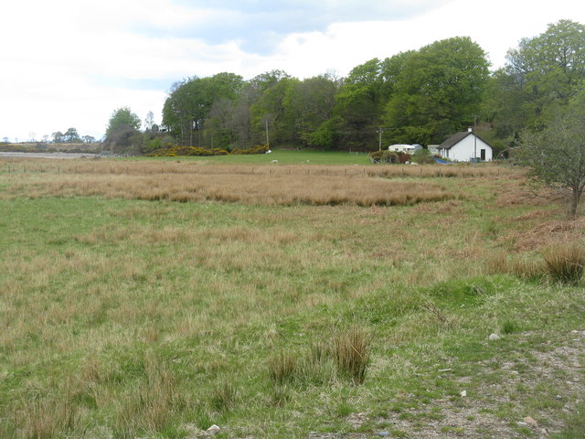
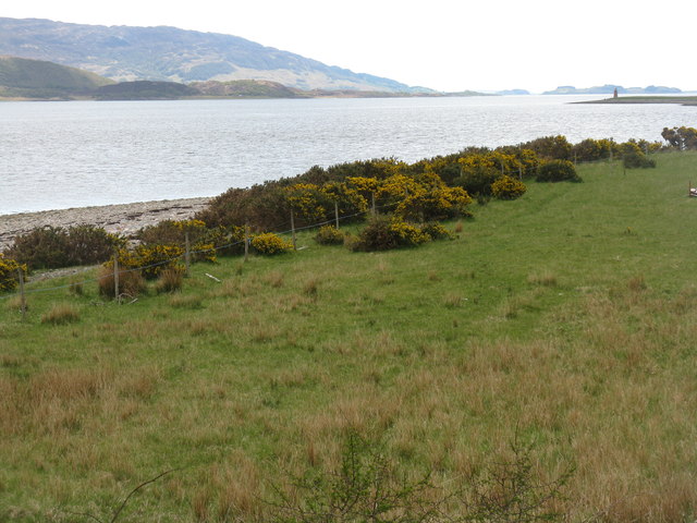
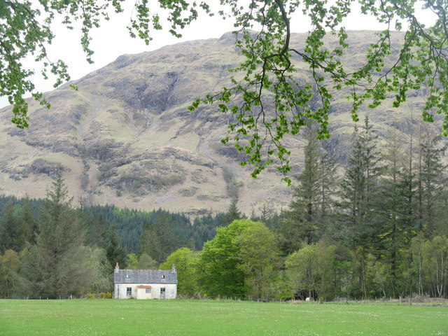
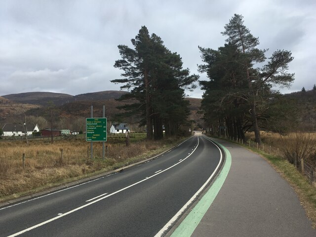
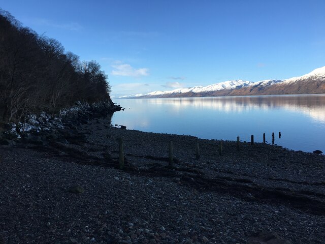
Rubha Gortan an t-Saillir, also known as Coastal Marsh or Saltings, is a prominent geographical feature located in Inverness-shire, Scotland. This coastal area is characterized by its stunning natural beauty and diverse ecosystem.

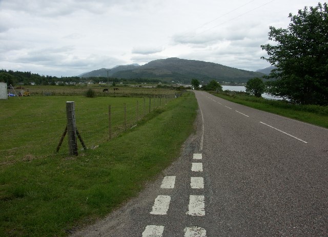
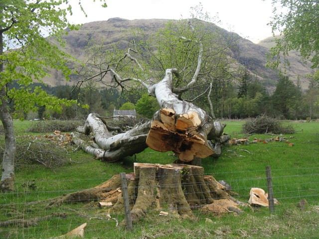
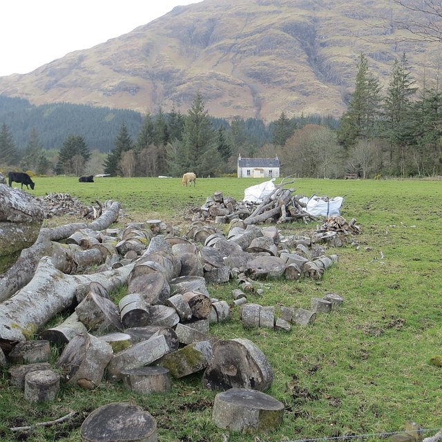
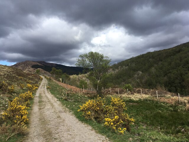
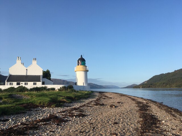
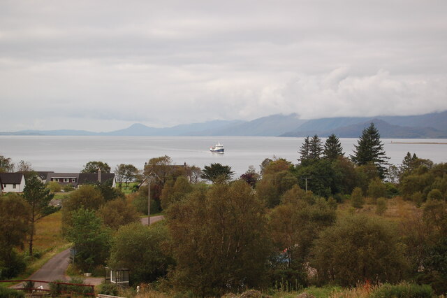
Situated on the western coast of Scotland, Rubha Gortan an t-Saillir stretches along a stretch of approximately 3 kilometers. This coastal marsh is renowned for its vast expanse of marshland and salt marshes, which are formed by the deposition of sediment carried by the sea. As a result, the area is rich in organic matter and supports a wide variety of plant and animal life.

The plant species found in this region include saltmarsh grasses, rushes, and sedges, which have adapted to the high levels of salt present in the environment. These plants provide a habitat for numerous animal species, including birds, insects, and small mammals.

Birdwatchers flock to Rubha Gortan an t-Saillir to witness the impressive array of avian species that inhabit the area. It serves as an important breeding ground for several wading birds like curlews, oystercatchers, and herons. Additionally, the coastal marsh attracts migratory birds, making it a popular spot for birdwatching enthusiasts.

Rubha Gortan an t-Saillir has also gained recognition for its ecological importance. It is designated as a Special Area of Conservation, ensuring its protection and preservation for future generations to enjoy. The marshland plays a crucial role in preventing coastal erosion and acts as a natural buffer against storm surges, safeguarding the surrounding land from potential damage.

Overall, Rubha Gortan an t-Saillir is a remarkable coastal marshland that showcases the beauty and diversity of Scotland's natural landscape.

If you have any feedback on the listing, please let us know in the comments section below.

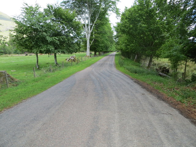
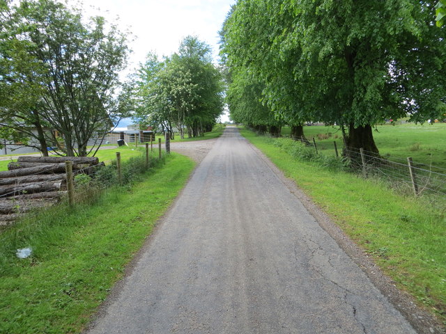
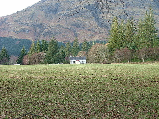
Rubha Gortan an t-Saillir Images

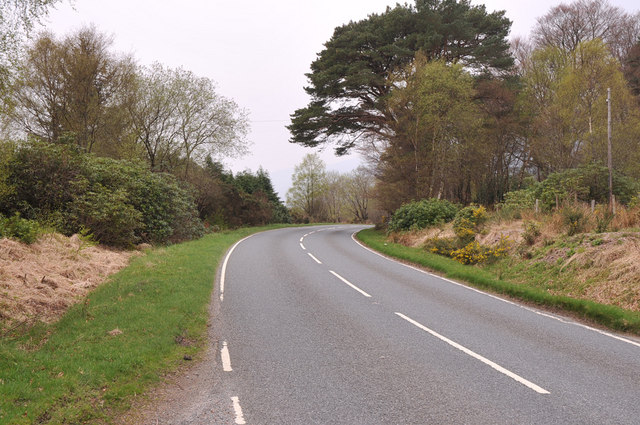
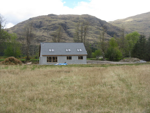
Images are sourced within 2km of 56.705279/-5.2473298 or Grid Reference NN0161. Thanks to Geograph Open Source API. All images are credited.

Minor road to Clovullin Looking north-eastward.
Minor road to Clovullin
Looking north-eastward.
Minor road from Clovullin to A861 at Blar Ruatharach Looking south-westward.
Minor road from Clovullin to A861 at Blar Ruatharach
Looking south-westward.
A861 near Clovullin
A861 near Clovullin
Deserted crofthouse On the Ardgour Estate.
Deserted crofthouse
On the Ardgour Estate.
A861 near Corran
A861 near Corran
Cottage and trees at Blàr Ruatharach
The Ardgour coast at Camas Mhic a' Phì With the beacon at Sallachan Point on the right.
The Ardgour coast at Camas Mhic a' Phì
With the beacon at Sallachan Point on the right.
New house at Clovullin With Meall Breac behind.
New house at Clovullin
With Meall Breac behind.
Woodend at Clovullin Apparently unoccupied, under the slopes of Meall Breac.
Woodend at Clovullin
Apparently unoccupied, under the slopes of Meall Breac.
Felled Beech at Clovullin Next years firewood - beech burns well!
Felled Beech at Clovullin
Next years firewood - beech burns well!
Blàr Ruatharach Approach to Ardgour village with a sign advertising services. There is a plain here where glacial deposits have narrowed Loch Linnhe.
Blàr Ruatharach
Approach to Ardgour village with a sign advertising services. There is a plain here where glacial deposits have narrowed Loch Linnhe.
Not burnt yet The beech that was cut down a year earlier. <a href="https://www.geograph.org.uk/photo/3492009">NM9963 : Felled Beech at Clovullin</a>
Not burnt yet
The beech that was cut down a year earlier. NM9963 : Felled Beech at Clovullin
A82 with no traffic Photo taken during the initial Covid pandemic lockdown.
A82 with no traffic
Photo taken during the initial Covid pandemic lockdown.
Track from Onich to Glen Righ
Corran Lighthouse and shoreline at Corran Narrows
Loch Linnhe from Inchree Looking from Inchree over Bunree towards Loch Linnhe.
Loch Linnhe from Inchree
Looking from Inchree over Bunree towards Loch Linnhe.
Shoreline of Loch Linnhe at Bunree
Track and shed near Onich
Show me another place!

Rubha Gortan an t-Saillir is located at Grid Ref: NN0161 (Lat: 56.705279, Lng: -5.2473298)

Unitary Authority: Highland

Police Authority: Highlands and Islands

What 3 Words

///vipers.consented.strong. Near Glencoe, Highland

Related Wikis

Loch Linnhe

Loch Linnhe ( lokh LIN-ee) is a sea loch on the west coast of Scotland. The part upstream of Corran is known in Gaelic as An Linne Dhubh (the black pool...

Onich

Onich (; Gaelic: Omhanaich, 'abounding in froth, frothy place'), also spelled Ounich, is a village in the historic county of Inverness-shire on the east...

Corran Ferry

The Corran Ferry crosses Loch Linnhe at the Corran Narrows, south of Fort William, Scotland. == Description == Operated by Highland Council, the Corran...

Corran, Lochaber

Corran (Scottish Gaelic: An Corran) is a former fishing village, situated on Corran Point, on the west side of the Corran Narrows of Loch Linnhe, in Lochaber...

Nearby Amenities

Located within 500m of 56.705279,-5.2473298
Source: PGS
Lat/Long: 56.7084135/-5.2428596
Source: PGS
Lat/Long: 56.7080182/-5.2434093
Source: PGS
Lat/Long: 56.7077488/-5.2438115
Source: PGS
Lat/Long: 56.7074804/-5.2442296
Source: PGS
Lat/Long: 56.7072137/-5.2446537
Source: PGS
Lat/Long: 56.7068238/-5.2451305
Source: PGS
Lat/Long: 56.7063652/-5.2458188
Source: PGS
Lat/Long: 56.7061109/-5.2461659
Source: PGS
Lat/Long: 56.7058522/-5.2466825
Source: PGS
Lat/Long: 56.705655/-5.2470838
Source: PGS
Lat/Long: 56.7054058/-5.2472708
Source: PGS
Lat/Long: 56.7049473/-5.2472408
Source: PGS
Lat/Long: 56.70463/-5.2471691
Source: PGS
Lat/Long: 56.7039626/-5.247395
Source: PGS
Lat/Long: 56.703781/-5.2472594
Source: PGS
Lat/Long: 56.7031766/-5.2473677
Source: PGS
Lat/Long: 56.7030082/-5.2474183
Source: PGS
Lat/Long: 56.7029857/-5.2472019
Source: PGS
Lat/Long: 56.7031603/-5.2468073
Source: PGS
Lat/Long: 56.7032257/-5.2464417
Source: PGS
Lat/Long: 56.7032204/-5.2458635
Source: PGS
Lat/Long: 56.703196/-5.2455439
Source: PGS
Lat/Long: 56.7031476/-5.2454294
Source: PGS
Lat/Long: 56.7031662/-5.2452207
Source: PGS
Lat/Long: 56.7027964/-5.245246
Source: PGS
Lat/Long: 56.7031906/-5.2446761
Source: PGS
Lat/Long: 56.7032657/-5.2444431
Source: PGS
Lat/Long: 56.7033365/-5.2440906
Source: PGS
Lat/Long: 56.7033864/-5.2438051
Source: PGS
Lat/Long: 56.7034937/-5.2434817
Source: PGS
Lat/Long: 56.7035557/-5.2432716
Source: PGS
Lat/Long: 56.7038125/-5.2424105
Source: PGS
Lat/Long: 56.7038512/-5.2419933
Source: PGS
Lat/Long: 56.7038509/-5.2409558
Rubha Gortan an t-Saillir
Place: locality
Lat/Long: 56.7056371/-5.2483934
Rubha Cuil-Cheanna
Place: locality
Lat/Long: 56.7029362/-5.2468994
Man Made: tower
Source: Bing
Lat/Long: 56.705297/-5.2436887
Power: pole
Lat/Long: 56.7052661/-5.2420852
Power: pole
Lat/Long: 56.7055825/-5.2413159
Power: pole
Lat/Long: 56.7059774/-5.2403167
Power: pole
Lat/Long: 56.7062976/-5.2395298
Seamark Landmark Category: tower
Seamark Landmark Colour: white
Seamark Landmark Elevation: 5
Seamark Landmark Height: 12
Seamark Light 1 Character: Iso
Seamark Light 1 Colour: red
Seamark Light 1 Height: 12
Seamark Light 1 Period: 2
Seamark Light 1 Range: 5
Seamark Light 1 Sector End: 192.5
Seamark Light 1 Sector Start: 190.5
Seamark Light 2 Character: Al
Seamark Light 2 Colour: white;red
Seamark Light 2 Height: 12
Seamark Light 2 Period: 2
Seamark Light 2 Range: 5
Seamark Light 2 Sector End: 193.5
Seamark Light 2 Sector Start: 192.5
Seamark Light 3 Character: Iso
Seamark Light 3 Colour: white
Seamark Light 3 Height: 12
Seamark Light 3 Period: 2
Seamark Light 3 Range: 5
Seamark Light 3 Sector End: 194.5
Seamark Light 3 Sector Start: 193.5
Seamark Light 4 Character: Al
Seamark Light 4 Colour: white;green
Seamark Light 4 Height: 12
Seamark Light 4 Period: 2
Seamark Light 4 Range: 5
Seamark Light 4 Sector End: 195.5
Seamark Light 4 Sector Start: 194.5
Seamark Light 5 Character: Iso
Seamark Light 5 Colour: green
Seamark Light 5 Height: 12
Seamark Light 5 Period: 2
Seamark Light 5 Range: 5
Seamark Light 5 Sector End: 197.5
Seamark Light 5 Sector Start: 195.5
Seamark Light 6 Character: Fl
Seamark Light 6 Colour: green
Seamark Light 6 Group: 2
Seamark Light 6 Height: 12
Seamark Light 6 Period: 8
Seamark Light 6 Range: 5
Seamark Reference: A4131.5
Seamark Type: landmark
Lat/Long: 56.7053269/-5.2468652
The data included in this document is from www.openstreetmap.org. The data is made available under ODbL.

Have you been to Rubha Gortan an t-Saillir?

Leave your review of Rubha Gortan an t-Saillir below (or comments, questions and feedback).