Salthouse Point
Coastal Marsh, Saltings in Argyllshire
Scotland
Salthouse Point
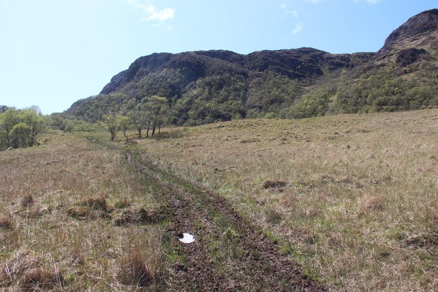
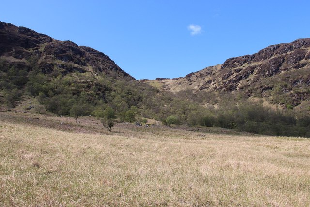
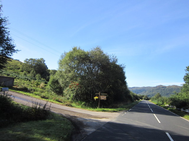
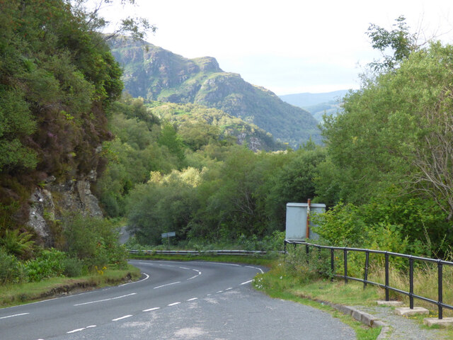
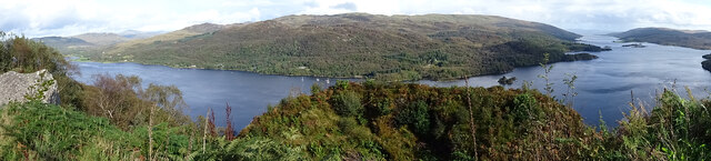
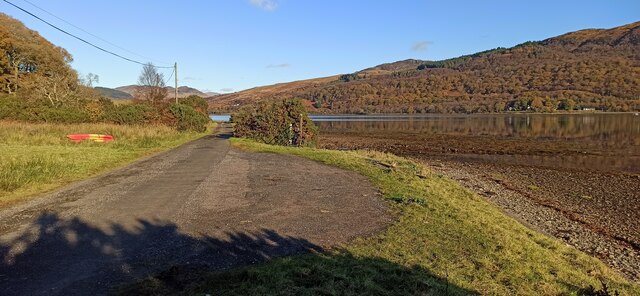
Salthouse Point is a coastal marsh located in Argyllshire, Scotland. The area is known for its unique ecosystem, characterized by salt marshes and saltings. These marshes are formed by the deposition of sediment and salt from tidal waters, creating a habitat that is rich in biodiversity.
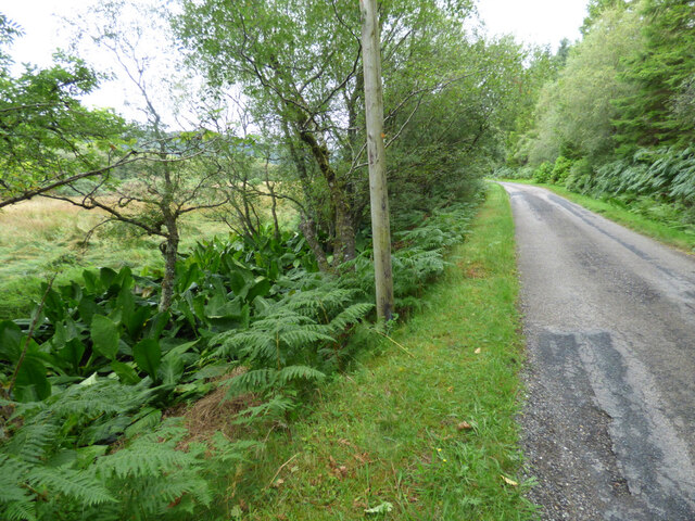
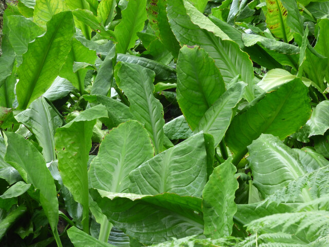
The marshes of Salthouse Point are home to a variety of plant and animal species that have adapted to the harsh conditions of the coastal environment. Common plant species found in the area include salt marsh grasses, sea lavender, and samphire. These plants provide food and shelter for a range of bird species, including wading birds such as oystercatchers and curlews.
The salt marshes at Salthouse Point also play an important role in protecting the coastline from erosion, as the dense vegetation helps to stabilize the soil and reduce the impact of waves and tides. The area is popular with birdwatchers and nature enthusiasts, who come to observe the diverse wildlife that inhabits the marshes.
Overall, Salthouse Point is a valuable natural habitat that contributes to the ecological health and diversity of the Argyllshire coastline.
If you have any feedback on the listing, please let us know in the comments section below.
Salthouse Point Images
Images are sourced within 2km of 55.956976/-5.1925101 or Grid Reference NS0078. Thanks to Geograph Open Source API. All images are credited.


Salthouse Point is located at Grid Ref: NS0078 (Lat: 55.956976, Lng: -5.1925101)
Unitary Authority: Argyll and Bute
Police Authority: Argyll and West Dunbartonshire
What 3 Words
///workforce.compress.fixtures. Near Port Bannatyne, Argyll & Bute
Nearby Locations
Related Wikis

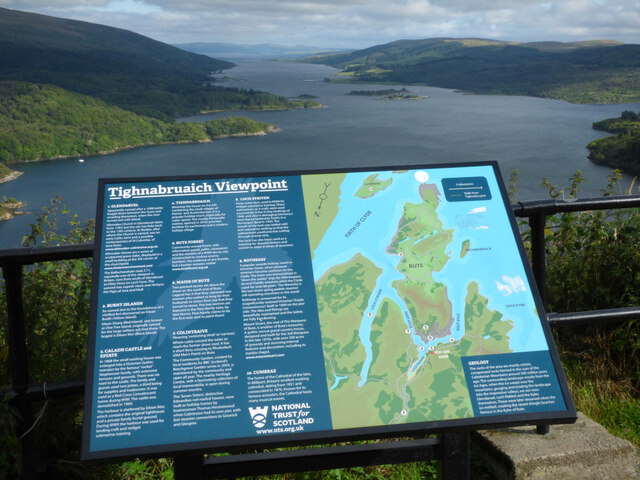
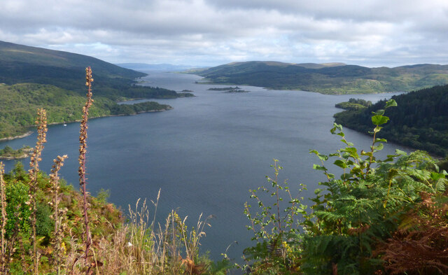
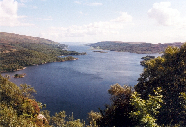
Loch Ruel
Loch Ruel or Loch Riddon; extends north from the Kyles of Bute and is a sea loch in Argyll and Bute, Scotland. == See also == River Ruel == References... ==
Eilean Dearg, Loch Ruel
Eilean Dearg is a small island in Loch Ruel (or Loch Riddon) in Argyll, Scotland. The island was once home to a castle, which was destroyed by naval action...

Eilean Dubh, Kyles of Bute
This particular Eilean Dubh (Scottish Gaelic: Black Island) is sometimes known as Glen Caladh Island and lies just off the Cowal peninsula in the Kyles...

Kyles of Bute
The Kyles of Bute (Scottish Gaelic: Na Caoil Bhòdach) form a narrow sea channel that separates the northern end of the Isle of Bute from the Cowal peninsula...
Nearby Amenities
Located within 500m of 55.956976,-5.1925101Have you been to Salthouse Point?
Leave your review of Salthouse Point below (or comments, questions and feedback).