Òb Inbhir Sgeinnidh
Coastal Marsh, Saltings in Ross-shire
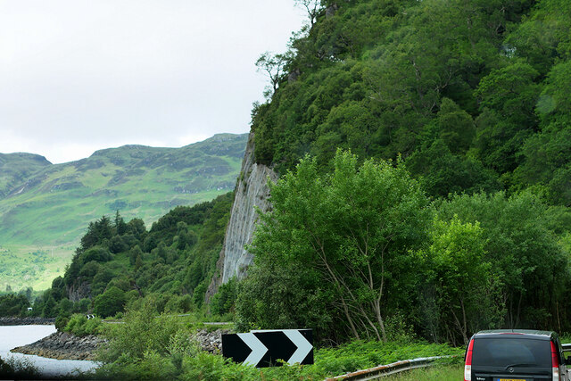
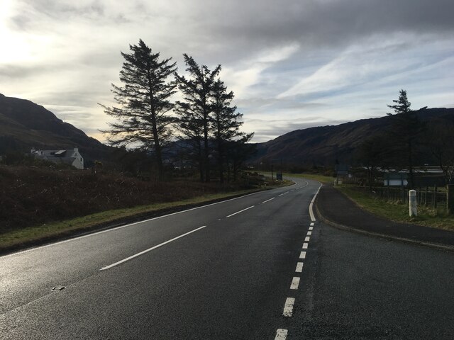
Scotland
Òb Inbhir Sgeinnidh
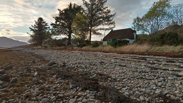
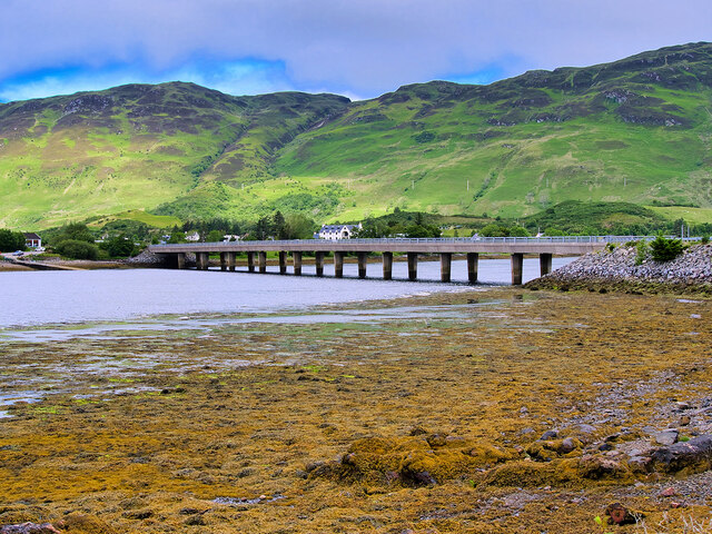
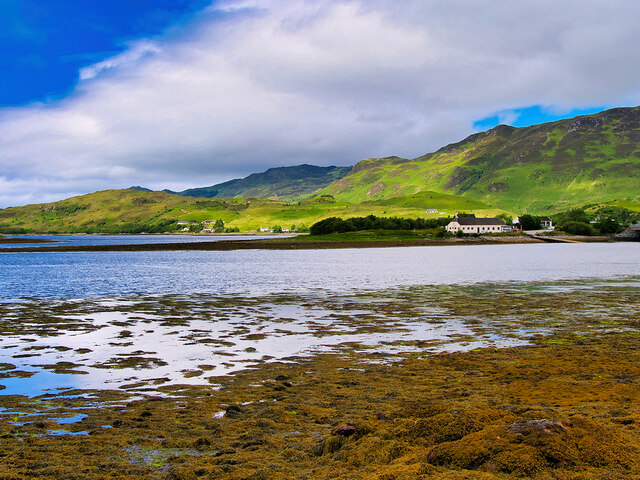
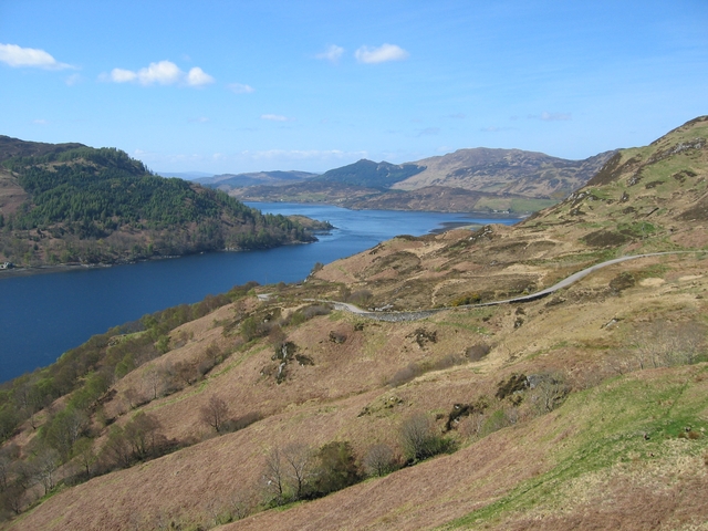
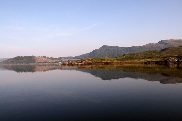
Òb Inbhir Sgeinnidh, located in Ross-shire, Scotland, is a picturesque coastal marsh and saltings area that offers a unique and diverse ecosystem. This coastal wetland is situated where the River Shin meets the North Sea, creating a rich habitat for a variety of plants and wildlife.
The marshland is characterized by its extensive saltmarshes, which are flooded by tidal waters and dominated by salt-tolerant vegetation. Common species found in this area include sea aster, sea lavender, and glasswort, which provide a vibrant display of colors throughout the year. The saltings, on the other hand, are areas of land adjacent to the marshes that are regularly flooded by seawater, making them an important habitat for various waterfowl, wading birds, and marine invertebrates.
Òb Inbhir Sgeinnidh is renowned for its significant bird population, attracting birdwatchers and nature enthusiasts from all over. The marshes and saltings provide an ideal feeding and resting place for a multitude of bird species, including curlews, redshanks, oystercatchers, and herons. Visitors can witness these birds in their natural habitat, enjoying the peaceful ambiance and breathtaking sights.
In addition to its ecological significance, Òb Inbhir Sgeinnidh also holds historical value. The marshes and saltings have been used for centuries by local communities for agriculture, fishing, and salt production. This area serves as a reminder of the traditional practices and the harmonious relationship between humans and nature.
Overall, Òb Inbhir Sgeinnidh in Ross-shire is a captivating coastal marsh and saltings, offering a wealth of biodiversity, stunning landscapes, and a glimpse into the region's rich history. It is a haven for nature lovers and a vital ecosystem worth preserving.
If you have any feedback on the listing, please let us know in the comments section below.
Òb Inbhir Sgeinnidh Images
Images are sourced within 2km of 57.268935/-5.5357887 or Grid Reference NG8625. Thanks to Geograph Open Source API. All images are credited.

Òb Inbhir Sgeinnidh is located at Grid Ref: NG8625 (Lat: 57.268935, Lng: -5.5357887)
Unitary Authority: Highland
Police Authority: Highlands and Islands
What 3 Words
///pictures.juggles.pigtails. Near Glenelg, Highland
Nearby Locations
Related Wikis
Caisteal Grugaig
Caisteal Grugaig (or Dun Totaig) is an Iron Age broch near the eastern end of Loch Alsh in the Scottish Highlands (grid reference NG86682508). == Location... ==
Ardelve
Ardelve (Scottish Gaelic: Àird Eilbh) is a village in Highland, Scotland, on Loch Alsh. It overlooks the Eilean Donan Castle, which is in Dornie, also...

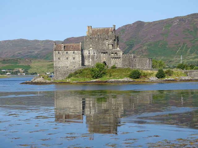
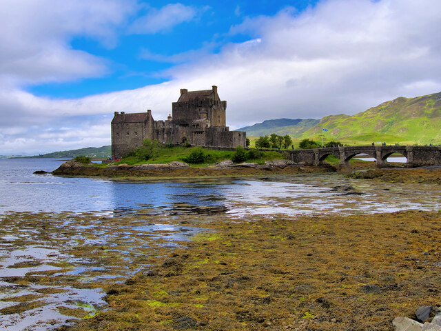
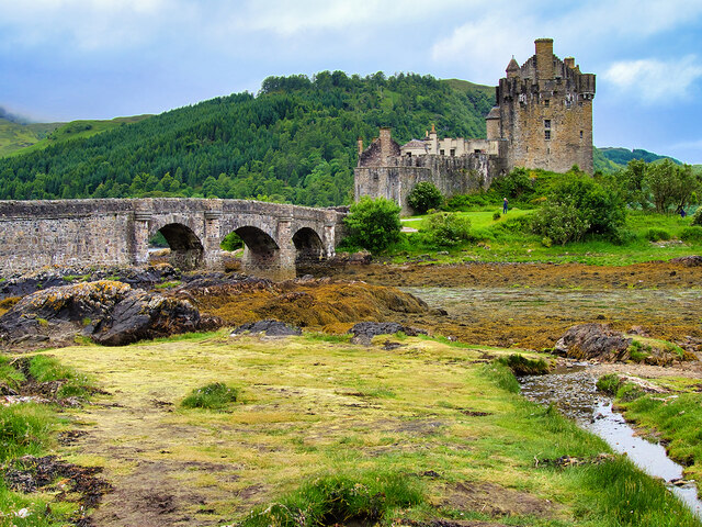
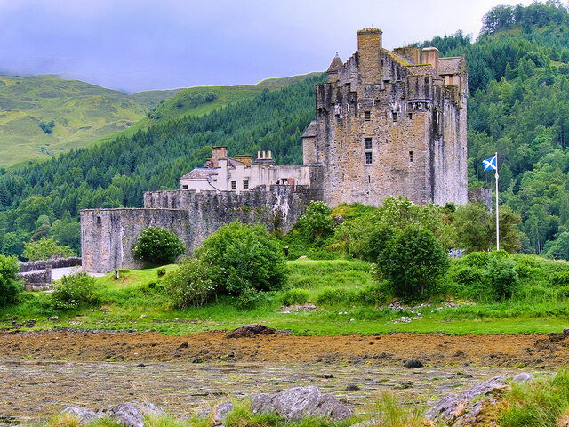
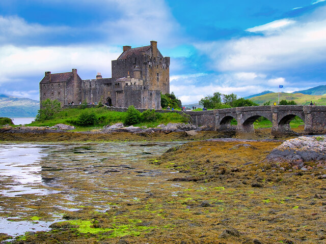
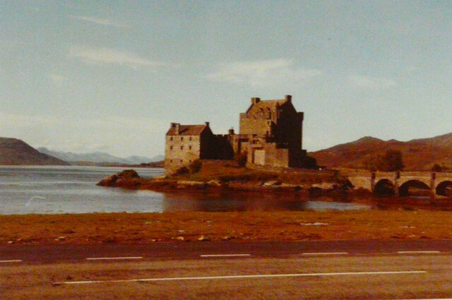
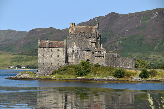
Eilean Donan
Eilean Donan (Scottish Gaelic: Eilean Donnain) is a small tidal island situated at the confluence of three sea lochs (Loch Duich, Loch Long and Loch Alsh...

Capture of Eilean Donan Castle
The Capture of Eilean Donan Castle was a land-based naval engagement that took place in 1719 during the British Jacobite rising of that year, and the War...
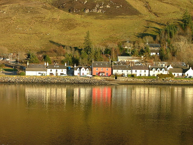
Dornie
Dornie (Scottish Gaelic: An Dòrnaidh) is a small former fishing village in the Lochalsh district in western Ross-shire Highlands of Scotland (2006 census...

Nostie
Nostie (Scottish Gaelic: Ceann na Mòna) is a small remote hamlet, lying on Nostie Bay, an inlet at the northeastern end of the sea loch, Loch Alsh in the...
Letterfearn
Letterfearn (Scottish Gaelic: Leitir Fheàrna) is a settlement that lies of the western shore of Loch Duich in Skye and Lochalsh, Highlands of Scotland...
Avernish
Avernish (Scottish Gaelic: Abhairnis) is a small, scenic, rural community located in the Highlands of Scotland. Nearby attractions include The Eilean...
Nearby Amenities
Located within 500m of 57.268935,-5.5357887Have you been to Òb Inbhir Sgeinnidh?
Leave your review of Òb Inbhir Sgeinnidh below (or comments, questions and feedback).