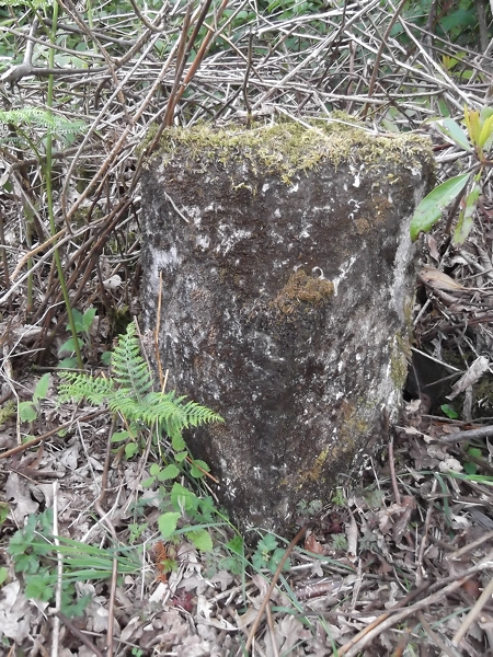
Rubha Dubh
Coastal Marsh, Saltings in Argyllshire
Scotland
Rubha Dubh

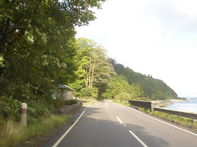
Rubha Dubh, located in Argyllshire, is a captivating coastal marshland known for its mesmerizing saltings. Situated on the west coast of Scotland, this picturesque landscape stretches along the shoreline, offering a unique blend of natural beauty and biological diversity.
The coastal marsh of Rubha Dubh is characterized by its lush vegetation and distinctive tidal channels. The area is dominated by salt-tolerant plants like sea aster, samphire, and saltmarsh grass, which thrive in the brackish water and are adapted to the harsh coastal environment. These plants form dense mats, creating a vibrant green tapestry that contrasts beautifully against the blue waters of the surrounding sea.
The saltings of Rubha Dubh are a haven for a wide variety of bird species. The marshland provides an important breeding ground and feeding area for waders such as oystercatchers, redshanks, and curlews. These birds can be observed probing the mud for invertebrates, their distinctive calls resonating through the air.
The dynamic nature of the tides in Rubha Dubh adds to its allure. As the sea ebbs and flows, it reveals intricate patterns of sand and mud flats, creating a constantly changing landscape. This ebb and flow also brings a wealth of marine life to the area, including crabs, shellfish, and small fish, which attract predatory birds like herons and gulls.
Rubha Dubh’s coastal marsh and saltings offer an enchanting environment for nature enthusiasts and birdwatchers alike. With its breathtaking scenery, diverse plant life, and abundance of avian species, it stands as a testament to the remarkable beauty and ecological importance of Scotland’s coastal areas.
If you have any feedback on the listing, please let us know in the comments section below.
Rubha Dubh Images
Images are sourced within 2km of 55.908733/-5.4204153 or Grid Reference NR8673. Thanks to Geograph Open Source API. All images are credited.


Rubha Dubh is located at Grid Ref: NR8673 (Lat: 55.908733, Lng: -5.4204153)
Unitary Authority: Argyll and Bute
Police Authority: Argyll and West Dunbartonshire
What 3 Words
///pickles.forklift.bluffing. Near Tarbert, Argyll & Bute
Nearby Locations
Related Wikis

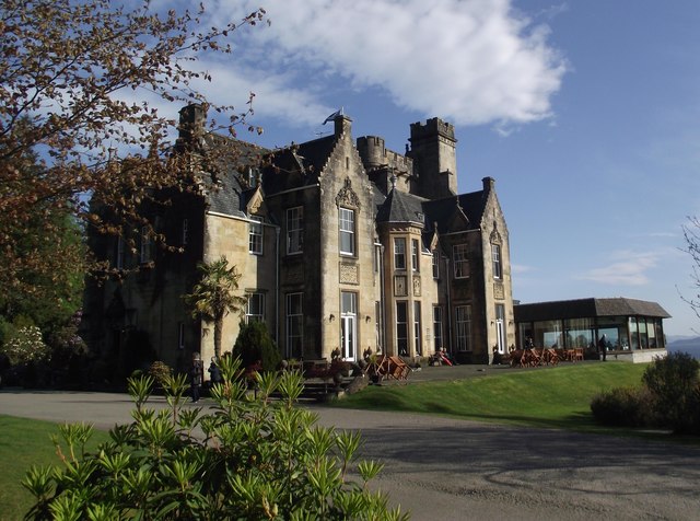
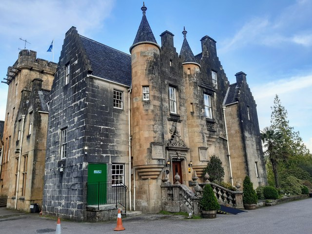
Stonefield Castle
Stonefield Castle is a Scottish baronial manor house near the village of Stonefield, north of Tarbert, Argyll & Bute, Scotland. It was built on the site...

Barmore Island
Barmore Island is a peninsula in Scotland located on the east of Knapdale, in the council area of Argyll and Bute. It is 1 and a half miles north from...

East Loch Tarbert, Argyll
East Loch Tarbert, Argyll is a small sea loch on the eastern side of the Kintyre peninsula in Scotland. It is a part of the much larger Loch Fyne. The...
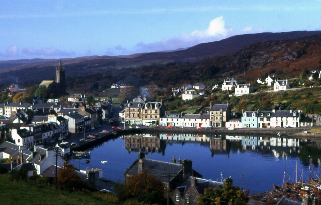
Tarbert, Kintyre
Tarbert (Scottish Gaelic: An Tairbeart, pronounced [ən̪ˠ ˈt̪ʰaɾʲapərˠʃt̪], or Tairbeart Loch Fìne to distinguish it from other places of the same name...
Nearby Amenities
Located within 500m of 55.908733,-5.4204153Have you been to Rubha Dubh?
Leave your review of Rubha Dubh below (or comments, questions and feedback).