Àird nan Ròn
Coastal Feature, Headland, Point in Argyllshire
Scotland
Àird nan Ròn

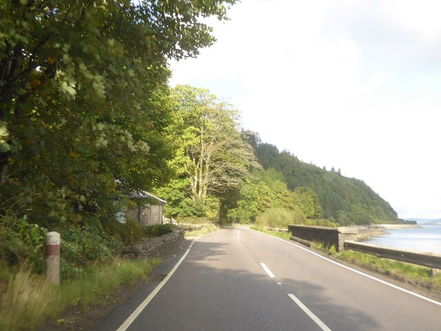
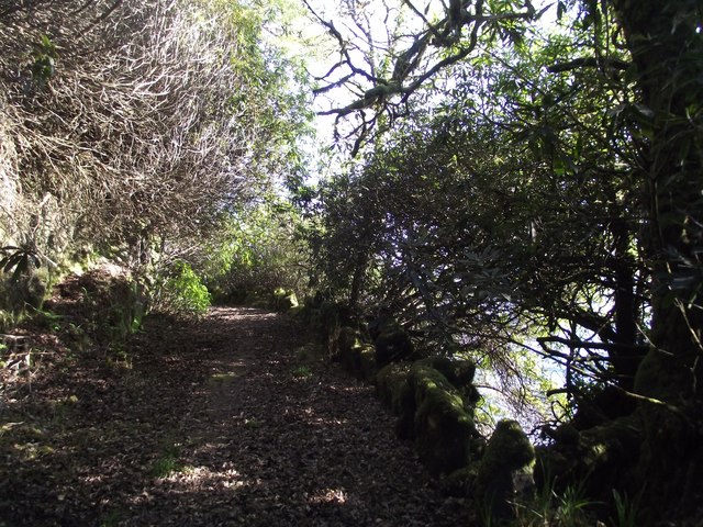
Àird nan Ròn is a prominent headland located in Argyllshire, Scotland. Situated along the rugged coastline, it juts out into the Atlantic Ocean, offering breathtaking views of the surrounding landscape. The name "Àird nan Ròn" translates to "Headland of the Seals," reflecting the abundance of seals that can often be spotted basking on the rocky shores below.
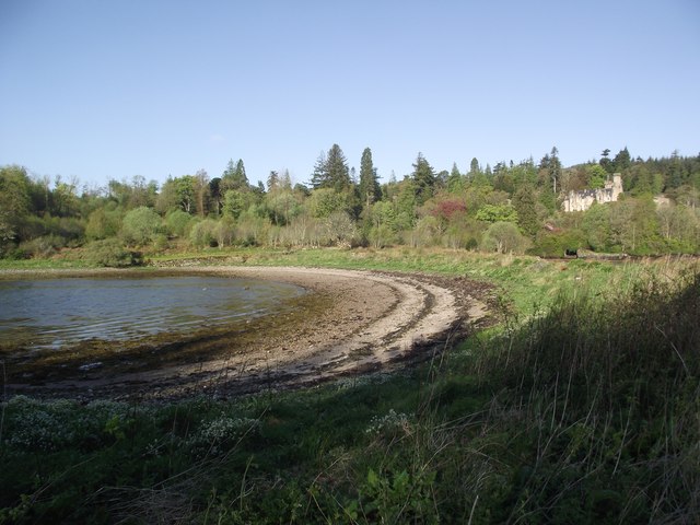
This coastal feature is characterized by towering cliffs, rocky outcrops, and a diverse array of flora and fauna. The headland is formed by layers of ancient sedimentary rock, creating a striking geological formation that attracts geologists and nature enthusiasts alike. The cliffs rise to impressive heights, providing nesting sites for various seabird species, including gannets, guillemots, and puffins.
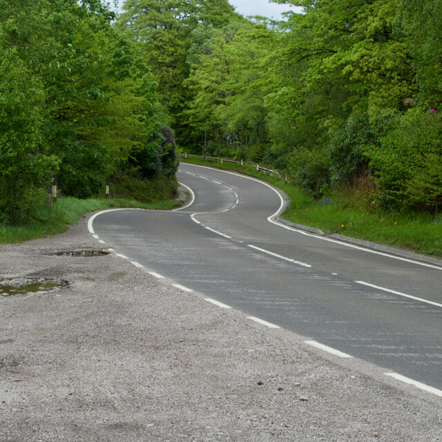
Àird nan Ròn is a popular destination for outdoor enthusiasts, offering opportunities for hiking, birdwatching, and photography. Several walking trails wind their way along the headland, allowing visitors to explore its rugged beauty at their own pace. The views from the top are nothing short of awe-inspiring, with panoramic vistas of the azure waters of the Atlantic and the distant hills of Argyllshire.
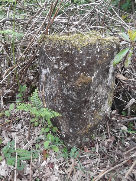
The area surrounding Àird nan Ròn is also of historical significance, with archaeological remains dating back thousands of years. Ancient settlements and burial sites have been discovered in the vicinity, shedding light on the region's rich cultural heritage.
Overall, Àird nan Ròn is a captivating coastal feature that showcases the stunning natural beauty and history of Argyllshire. Its dramatic cliffs, diverse wildlife, and breathtaking vistas make it a must-visit destination for nature lovers and those seeking a deeper connection with Scotland's rugged coastline.
If you have any feedback on the listing, please let us know in the comments section below.
Àird nan Ròn Images
Images are sourced within 2km of 55.906341/-5.4184919 or Grid Reference NR8673. Thanks to Geograph Open Source API. All images are credited.


Àird nan Ròn is located at Grid Ref: NR8673 (Lat: 55.906341, Lng: -5.4184919)
Unitary Authority: Argyll and Bute
Police Authority: Argyll and West Dunbartonshire
What 3 Words
///loom.toasted.grand. Near Tarbert, Argyll & Bute
Nearby Locations
Related Wikis

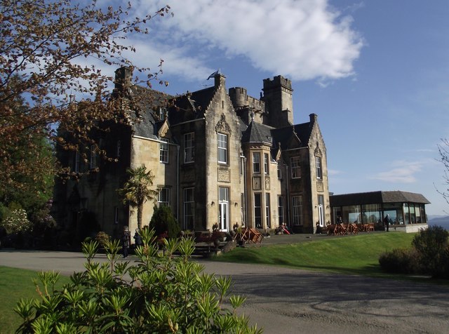
Stonefield Castle
Stonefield Castle is a Scottish baronial manor house near the village of Stonefield, north of Tarbert, Argyll & Bute, Scotland. It was built on the site...

Barmore Island
Barmore Island is a peninsula in Scotland located on the east of Knapdale, in the council area of Argyll and Bute. It is 1 and a half miles north from...

East Loch Tarbert, Argyll
East Loch Tarbert, Argyll is a small sea loch on the eastern side of the Kintyre peninsula in Scotland. It is a part of the much larger Loch Fyne. The...

Tarbert Castle
Tarbert Castle is located on the southern shore of East Loch Tarbert, at Tarbert, Argyll, Scotland, at the north end of Kintyre. Tarbert Castle was a strategic...
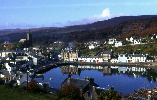
Tarbert, Kintyre
Tarbert (Scottish Gaelic: An Tairbeart, pronounced [ən̪ˠ ˈt̪ʰaɾʲapərˠʃt̪], or Tairbeart Loch Fìne to distinguish it from other places of the same name...

Argyll and Bute (UK Parliament constituency)
Argyll and Bute is a county constituency of the House of Commons of the Parliament of the United Kingdom. It was created for the 1983 general election...
Avinagillan standing stone
The Avinagillan standing stone is a prehistoric menhir on the Kintyre Peninsula of Scotland. The stone is near the hamlet of Avinagillan. == See also... ==

Portavadie
Portavadie (Scottish Gaelic: Port a' Mhadaidh) is a village on the shores of Loch Fyne in Argyll and Bute, Scotland.The Portavadie complex was built in...
Nearby Amenities
Located within 500m of 55.906341,-5.4184919Have you been to Àird nan Ròn?
Leave your review of Àird nan Ròn below (or comments, questions and feedback).