Port Mhic Dhonncha

Coastal Marsh, Saltings in Argyllshire

Scotland

Port Mhic Dhonncha

Track reduced to a path in the Carse Forest Heading back south to the road, the excellent wide track suddenly reduced to this narrow path.
Track reduced to a path in the Carse Forest Credit: Gordon Brown

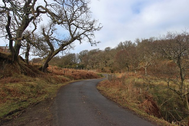
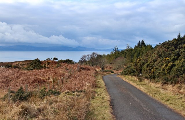
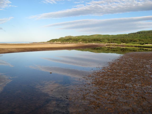
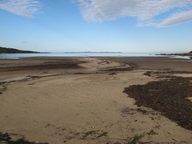
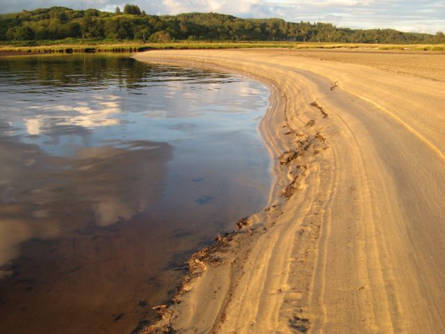
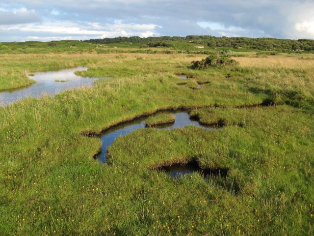
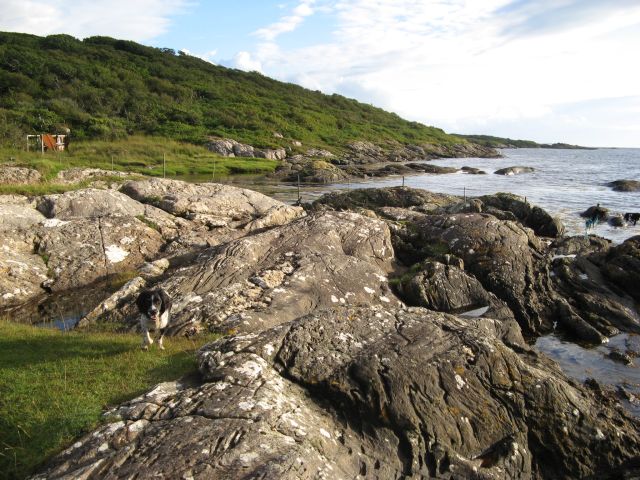
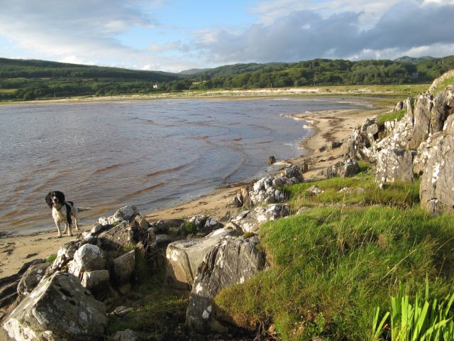
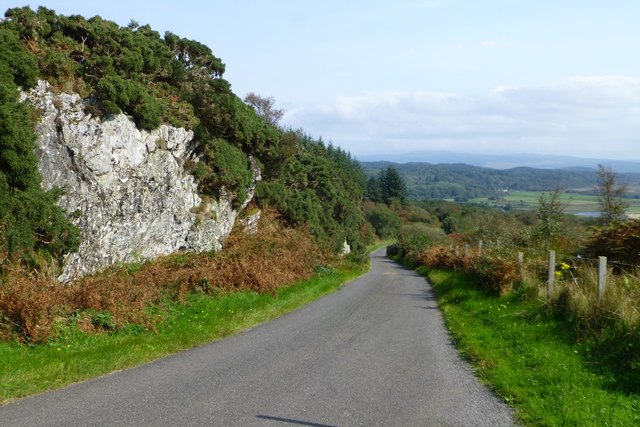
Port Mhic Dhonncha, located in Argyllshire, is a picturesque coastal marshland characterized by its saltings. This marshland is situated on the western coast of Scotland, overlooking the Atlantic Ocean. With its captivating beauty and diverse ecosystem, Port Mhic Dhonncha has become a popular destination for nature enthusiasts and birdwatchers alike.

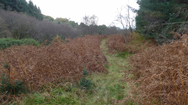
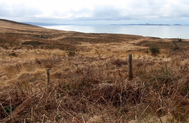
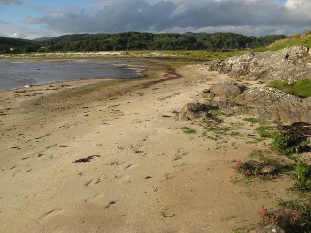
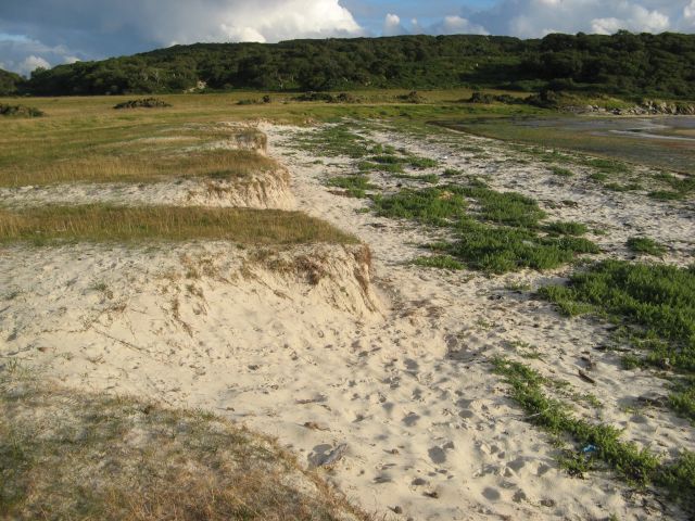
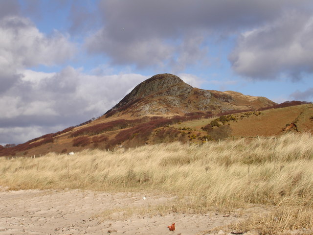
The coastal marsh of Port Mhic Dhonncha is a unique habitat that features a combination of salt marshes, mudflats, and sand dunes. These diverse environments provide a haven for a wide variety of plant and animal species. The salt marshes, in particular, are home to numerous salt-tolerant plants such as samphire and sea lavender, which add vibrant colors to the landscape.

The marshland is also a vital breeding ground and feeding area for many bird species, making it a paradise for birdwatchers. Visitors can spot a range of both resident and migratory birds, including waders like curlews, oystercatchers, and sandpipers. The mudflats and sand dunes attract a plethora of seabirds, such as gulls, terns, and even the occasional sighting of majestic raptors like ospreys and peregrine falcons.

Aside from its ecological significance, Port Mhic Dhonncha also holds historical importance. The area was once a bustling fishing port, and remnants of old fishing huts and boatyards can still be found scattered along the coastline.

In summary, Port Mhic Dhonncha, with its stunning coastal marshland and saltings, offers a unique and captivating experience for nature lovers. Its diverse ecosystem, abundant birdlife, and rich history make it a must-visit destination in Argyllshire.

If you have any feedback on the listing, please let us know in the comments section below.

Port Mhic Dhonncha Images

Images are sourced within 2km of 55.788253/-5.6111566 or Grid Reference NR7360. Thanks to Geograph Open Source API. All images are credited.

Track reduced to a path in the Carse Forest Heading back south to the road, the excellent wide track suddenly reduced to this narrow path.
Track reduced to a path in the Carse Forest
Heading back south to the road, the excellent wide track suddenly reduced to this narrow path.
The house at Carse This is the old road bridge, now by-passed.
The house at Carse
This is the old road bridge, now by-passed.
Old wall by the B8024
Stone dyke by the B8024
Bridge and church at Carse
The road to Kilberry climbs Bruach nan Clach-muillin
Islay comes into view from the B8024
Moorland above Rubha Cruitiridh
Morning reflections Reflections in the estuary at the head of Loch Stornoway.
Morning reflections
Reflections in the estuary at the head of Loch Stornoway.
Patterns in sand Accumulations of seaweed accentuate the contours of sand at the high-tide mark. The island of Gigha occupies the horizon.
Patterns in sand
Accumulations of seaweed accentuate the contours of sand at the high-tide mark. The island of Gigha occupies the horizon.
Sand patterns Striations in the sandy bank of the estuary at the head of Loch Stornoway, highlighted in evening sunshine.
Sand patterns
Striations in the sandy bank of the estuary at the head of Loch Stornoway, highlighted in evening sunshine.
Carse Farm and bridge A view along the old loop of road past the farm house and bridge over the burn.
Carse Farm and bridge
A view along the old loop of road past the farm house and bridge over the burn.
Flooded marsh The salt-marsh below Gorten is inundated by an unusually high tide.
Flooded marsh
The salt-marsh below Gorten is inundated by an unusually high tide.
Port Mhic Dhonncha The glacially-sculpted rocks forming the shore by Port Mhic Dhonncha, a little-visited place, possibly because the tin bothy has fallen into disrepair. This shore never failed to produce a sighting of otters playing among the tidal rocks.
Port Mhic Dhonncha
The glacially-sculpted rocks forming the shore by Port Mhic Dhonncha, a little-visited place, possibly because the tin bothy has fallen into disrepair. This shore never failed to produce a sighting of otters playing among the tidal rocks.
Ardminish shore The sandy shore below Ardminish at the head of Loch Stornoway.
Ardminish shore
The sandy shore below Ardminish at the head of Loch Stornoway.
Ardminish shore (2) A view of the sandy end of Loch Stornoway below Ardminish. Although it is swept by rough seas, the tide seldom covers this area.
Ardminish shore (2)
A view of the sandy end of Loch Stornoway below Ardminish. Although it is swept by rough seas, the tide seldom covers this area.
Loch Stornoway dunes A small line of low dunes at the edge of the carse. The habitat is interesting, and coming close to forming a machair.
Loch Stornoway dunes
A small line of low dunes at the edge of the carse. The habitat is interesting, and coming close to forming a machair.
Exposed rock face Beside the B8024
Exposed rock face
Beside the B8024
Show me another place!

Port Mhic Dhonncha is located at Grid Ref: NR7360 (Lat: 55.788253, Lng: -5.6111566)

Unitary Authority: Argyll and Bute

Police Authority: Argyll and West Dunbartonshire

What 3 Words

///brass.protect.handover. Near Tarbert, Argyll & Bute

Related Wikis

Kilcalmonell

The parish of Kilcalmonell is situated in Argyll and Bute, Scotland. It extends from Clachan, in Kintyre to Kilberry, in Knapdale. == References == W....

Ardpatrick, Argyll

Ardpatrick (Scottish Gaelic: Àird Phàdraig) is a village at the southwestern extremity of the Knapdale, Argyll, Scotland. The village is built along the...

Ardpatrick House

Ardpatrick House is a category-B-listed 18th-century country house in Ardpatrick, South Knapdale, Argyll and Bute, Scotland. == History == A fortified...

Dun Skeig

Dun Skeig is an oval Iron Age dun (fort) complex which is perched atop a rocky outcropping about 40 metres (130 ft) above sea level overlooking West Loch...

Have you been to Port Mhic Dhonncha?

Leave your review of Port Mhic Dhonncha below (or comments, questions and feedback).