Rubha na Lugain

Coastal Feature, Headland, Point in Argyllshire

Scotland

Rubha na Lugain

Kintyre Peninsula The evening sun on the west coast of the Kintyre peninsula.  Taken from the B8024 near Creag Stars.
Kintyre Peninsula Credit: Peter Jeffery

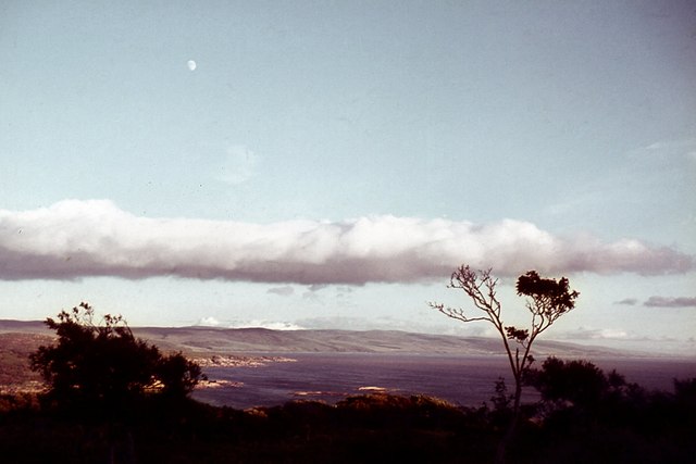
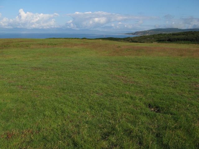
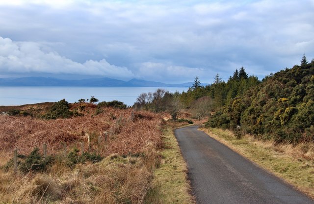
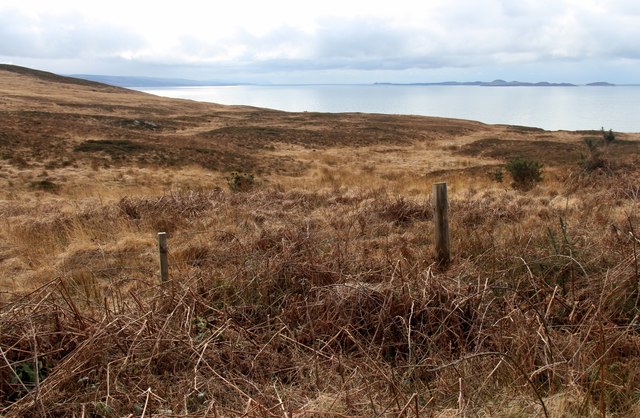
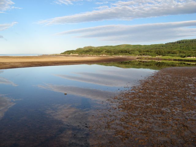
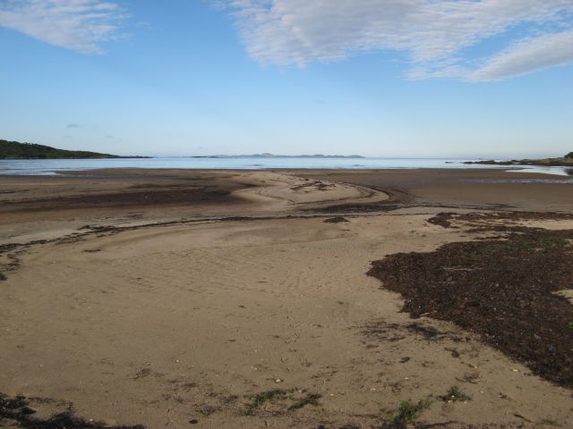
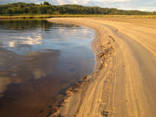
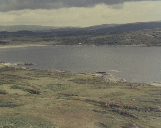
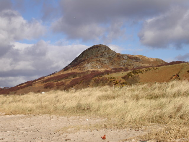
Rubha na Lugain is a prominent headland located in Argyllshire, Scotland. Situated on the west coast, it juts out into the Atlantic Ocean, offering stunning views and a rugged landscape. The headland is known for its dramatic cliffs, which rise steeply from the sea, creating a majestic and picturesque sight.

At Rubha na Lugain, visitors can witness the power of nature as the waves crash against the rocks, creating a mesmerizing display. The headland also provides a habitat for a diverse range of wildlife, including seabirds such as gannets, fulmars, and kittiwakes. Birdwatchers can enjoy observing these species in their natural environment.

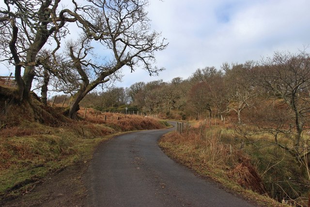
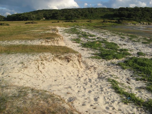
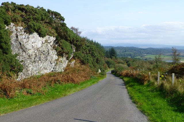
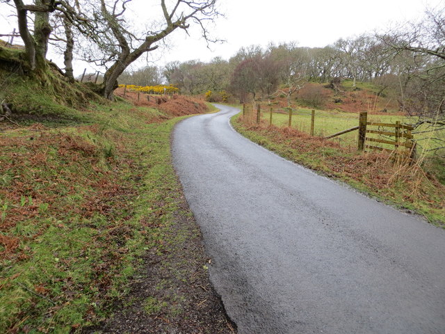
The headland is easily accessible for those who wish to explore it further. There are various walking paths and trails that wind their way around Rubha na Lugain, allowing visitors to fully immerse themselves in the breathtaking surroundings. Along these paths, one can discover hidden coves, small sandy beaches, and unique rock formations.

For history enthusiasts, Rubha na Lugain holds archaeological significance. The headland is home to ancient ruins and remnants of settlements dating back to prehistoric times. Exploring these historical sites provides a glimpse into the lives of the people who once inhabited this coastal area.

Overall, Rubha na Lugain offers a captivating and diverse experience for nature lovers, birdwatchers, hikers, and history enthusiasts alike. Its stunning scenery, abundant wildlife, and rich history make it a must-visit destination for anyone exploring Argyllshire's coastal features.

If you have any feedback on the listing, please let us know in the comments section below.

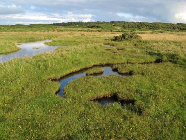
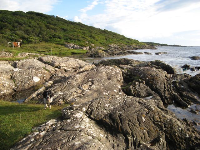
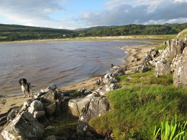
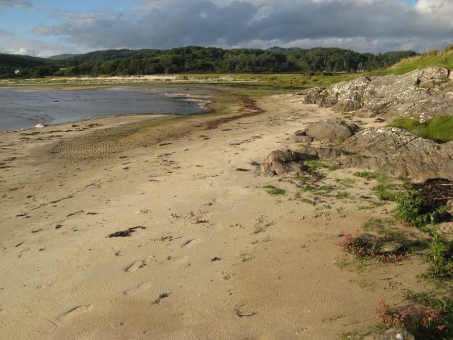
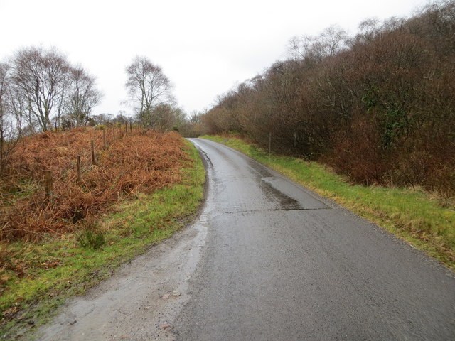
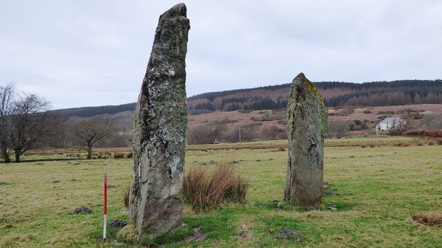
Rubha na Lugain Images

Images are sourced within 2km of 55.780794/-5.6201665 or Grid Reference NR7360. Thanks to Geograph Open Source API. All images are credited.

Kintyre Peninsula The evening sun on the west coast of the Kintyre peninsula.  Taken from the B8024 near Creag Stars.
Kintyre Peninsula
The evening sun on the west coast of the Kintyre peninsula. Taken from the B8024 near Creag Stars.
View over improved pasture A view from Point House over pasture with Jura and its line of clouds on the horizon. The pastures of Ardpatrick are very well tended.
View over improved pasture
A view from Point House over pasture with Jura and its line of clouds on the horizon. The pastures of Ardpatrick are very well tended.
The road to Kilberry climbs Bruach nan Clach-muillin
Islay comes into view from the B8024
Moorland above Rubha Cruitiridh
Morning reflections Reflections in the estuary at the head of Loch Stornoway.
Morning reflections
Reflections in the estuary at the head of Loch Stornoway.
Patterns in sand Accumulations of seaweed accentuate the contours of sand at the high-tide mark. The island of Gigha occupies the horizon.
Patterns in sand
Accumulations of seaweed accentuate the contours of sand at the high-tide mark. The island of Gigha occupies the horizon.
Sand patterns Striations in the sandy bank of the estuary at the head of Loch Stornoway, highlighted in evening sunshine.
Sand patterns
Striations in the sandy bank of the estuary at the head of Loch Stornoway, highlighted in evening sunshine.
Flooded marsh The salt-marsh below Gorten is inundated by an unusually high tide.
Flooded marsh
The salt-marsh below Gorten is inundated by an unusually high tide.
Port Mhic Dhonncha The glacially-sculpted rocks forming the shore by Port Mhic Dhonncha, a little-visited place, possibly because the tin bothy has fallen into disrepair. This shore never failed to produce a sighting of otters playing among the tidal rocks.
Port Mhic Dhonncha
The glacially-sculpted rocks forming the shore by Port Mhic Dhonncha, a little-visited place, possibly because the tin bothy has fallen into disrepair. This shore never failed to produce a sighting of otters playing among the tidal rocks.
Ardminish shore The sandy shore below Ardminish at the head of Loch Stornoway.
Ardminish shore
The sandy shore below Ardminish at the head of Loch Stornoway.
Ardminish shore (2) A view of the sandy end of Loch Stornoway below Ardminish. Although it is swept by rough seas, the tide seldom covers this area.
Ardminish shore (2)
A view of the sandy end of Loch Stornoway below Ardminish. Although it is swept by rough seas, the tide seldom covers this area.
Loch Stornoway dunes A small line of low dunes at the edge of the carse. The habitat is interesting, and coming close to forming a machair.
Loch Stornoway dunes
A small line of low dunes at the edge of the carse. The habitat is interesting, and coming close to forming a machair.
Exposed rock face Beside the B8024
Exposed rock face
Beside the B8024
A view across the foreshore This is one of the better days on this holiday as it was not raining and we were heading for the yellow sandy beach in the distance. The position of the camera point is my best guess after so long as there is not a lot to allow accurate positioning.

Taken on film in 1985.
A view across the foreshore
This is one of the better days on this holiday as it was not raining and we were heading for the yellow sandy beach in the distance. The position of the camera point is my best guess after so long as there is not a lot to allow accurate positioning. Taken on film in 1985.
Road (B8024) near to Bruach nan Clach-Muilinn Looking north-westward.
Road (B8024) near to Bruach nan Clach-Muilinn
Looking north-westward.
Road (B8024) near to Creag Stars Looking south-westward.
Road (B8024) near to Creag Stars
Looking south-westward.
Carse standing stones Stone pair (Scale 1m). <span class="nowrap"><a title="https://canmore.org.uk/site/38987/carse" rel="nofollow ugc noopener" href="https://canmore.org.uk/site/38987/carse">Link</a><img style="margin-left:2px;" alt="External link" title="External link - shift click to open in new window" src="https://s1.geograph.org.uk/img/external.png" width="10" height="10"/></span>
Carse standing stones
Stone pair (Scale 1m). LinkExternal link
Show me another place!

Rubha na Lugain is located at Grid Ref: NR7360 (Lat: 55.780794, Lng: -5.6201665)

Unitary Authority: Argyll and Bute

Police Authority: Argyll and West Dunbartonshire

What 3 Words

///news.hazel.pointer. Near Tarbert, Argyll & Bute

Related Wikis

Ardpatrick House

Ardpatrick House is a category-B-listed 18th-century country house in Ardpatrick, South Knapdale, Argyll and Bute, Scotland. == History == A fortified...

Ardpatrick, Argyll

Ardpatrick (Scottish Gaelic: Àird Phàdraig) is a village at the southwestern extremity of the Knapdale, Argyll, Scotland. The village is built along the...

Kilcalmonell

The parish of Kilcalmonell is situated in Argyll and Bute, Scotland. It extends from Clachan, in Kintyre to Kilberry, in Knapdale. == References == W....

Dun Skeig

Dun Skeig is an oval Iron Age dun (fort) complex which is perched atop a rocky outcropping about 40 metres (130 ft) above sea level overlooking West Loch...

Have you been to Rubha na Lugain?

Leave your review of Rubha na Lugain below (or comments, questions and feedback).