Rubha na h-Ollaig
Coastal Marsh, Saltings in Inverness-shire
Scotland
Rubha na h-Ollaig
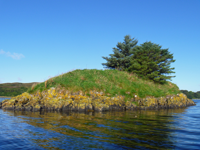
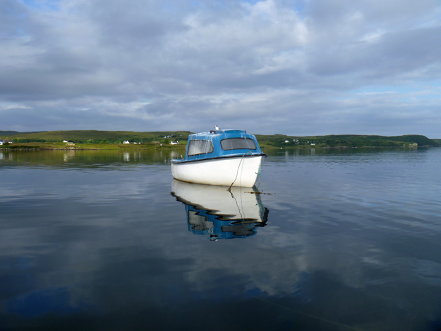
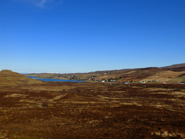
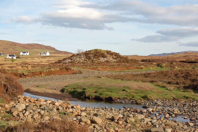
Rubha na h-Ollaig, located in Inverness-shire, Scotland, is a coastal marshland known for its stunning beauty and diverse ecosystems. This area, also referred to as the "Coastal Marsh" or "Saltings," is situated on the eastern coast of the Scottish Highlands, overlooking the Moray Firth.
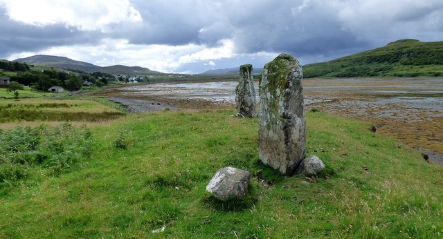
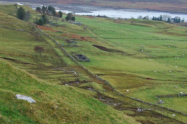
The landscape of Rubha na h-Ollaig is characterized by a mixture of salt marshes, mudflats, and sand dunes, creating a unique and ever-changing environment. The marshland is influenced by the tides, which bring in nutrient-rich water from the North Sea, supporting a rich variety of plant and animal life.
The vegetation in Rubha na h-Ollaig is adapted to the conditions of the marshland, with species such as saltmarsh grass, sea aster, and sea purslane thriving in the salty and waterlogged soil. These plants provide important habitats for numerous bird species, including waders like redshanks, oystercatchers, and curlews. The marshland is also home to various waterfowl species, such as mallards and teal.
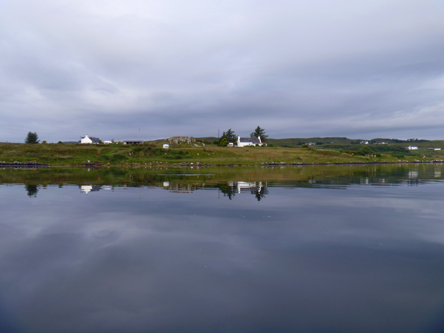
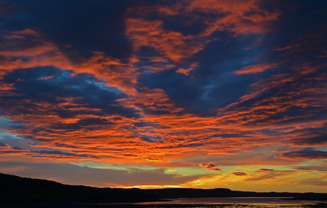
Visitors to Rubha na h-Ollaig can enjoy breathtaking views of the coastline, with its sandy beaches and dramatic cliffs. The area is a popular spot for birdwatching, nature walks, and photography. It is important to note that the marshland is protected and managed by conservation organizations to preserve its unique ecological value.
Overall, Rubha na h-Ollaig is a remarkable coastal marshland in Inverness-shire, offering a glimpse into the diverse and delicate ecosystems of the Scottish Highlands.
If you have any feedback on the listing, please let us know in the comments section below.
Rubha na h-Ollaig Images
Images are sourced within 2km of 57.478481/-6.3248992 or Grid Reference NG4051. Thanks to Geograph Open Source API. All images are credited.


Rubha na h-Ollaig is located at Grid Ref: NG4051 (Lat: 57.478481, Lng: -6.3248992)
Unitary Authority: Highland
Police Authority: Highlands and Islands
What 3 Words
///firework.clicker.perfume. Near Portree, Highland
Nearby Locations
Related Wikis

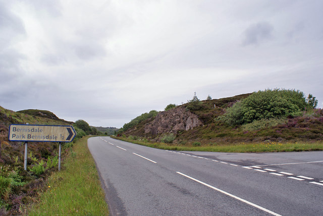
Bernisdale
Bernisdale (Scottish Gaelic: Beàrnasdal) is a small township, near the head of Loch Snizort Beag, Isle of Skye in the Highlands and Islands and is in the...

Dun Cruinn
Dun Cruinn is a prehistoric site about 10 kilometres (6.2 mi) north-west of Portree, on the Isle of Skye, Scotland. It is on the Skerinish Peninsula, between...
Kensaleyre
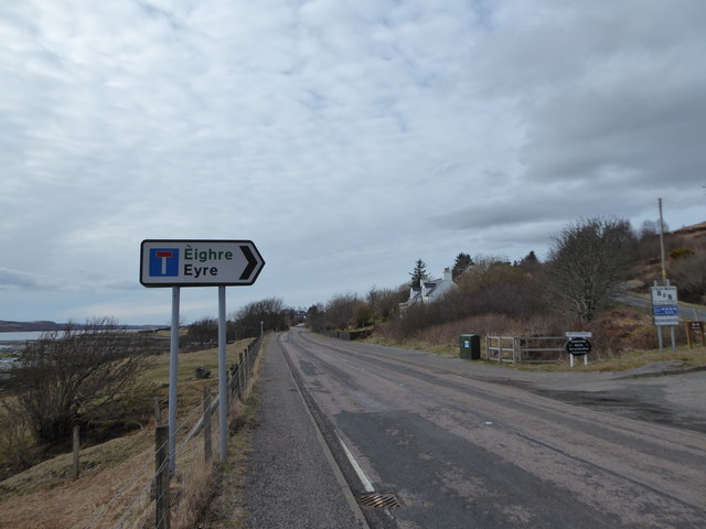
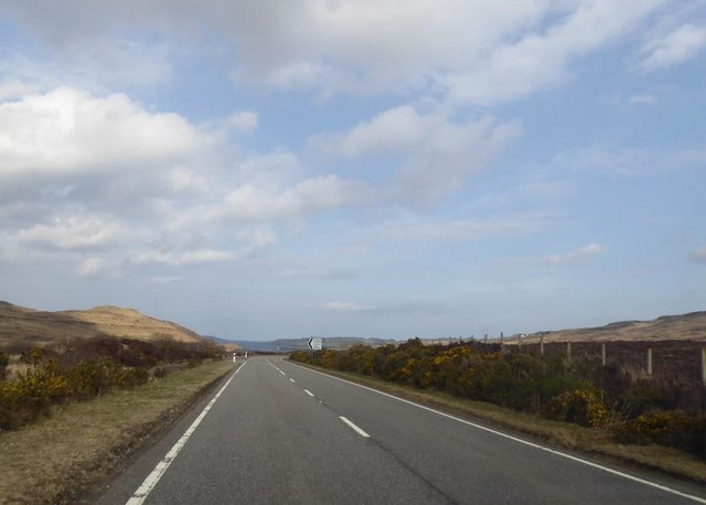
Kensaleyre (Scottish Gaelic: Ceann Sàil Eighre) is a scattered crofting township, part of a group of settlements clustered around the A87 road on the shore...
Eyre, Skye
Eyre (Scottish Gaelic: Eighre) is a settlement on the eastern shore of Loch Snizort Beag on the northern coast of Skye in Scotland.The two Eyre standing...
Nearby Amenities
Located within 500m of 57.478481,-6.3248992Have you been to Rubha na h-Ollaig?
Leave your review of Rubha na h-Ollaig below (or comments, questions and feedback).